

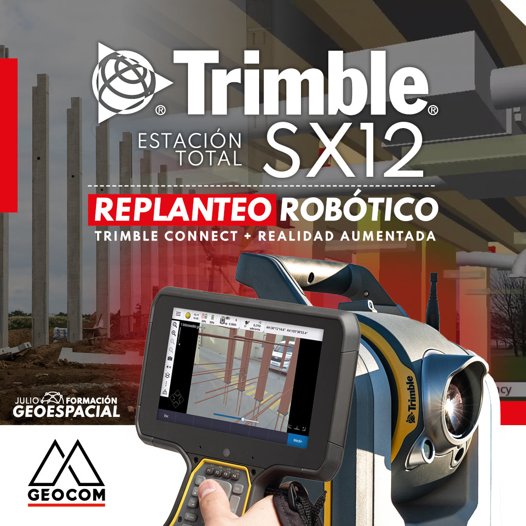
TRIMBLE SX12 ROBOTIC LAYOUT | CONNECT + AUGMENTED REALITY
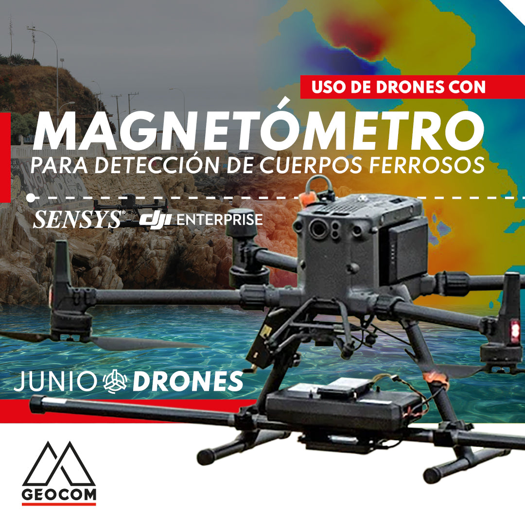
Use of drones with magnetometers for ferrous body detection
The integration of the magnetometer with the M300 is carried out by SPH Engineering, which includes a SENSYS magnetometer (R3 or R4 model depending on the number of sensors), a radar altimeter to measure precise height above different surfaces, an onboard computer called SkyHub, and the advanced planning software UgCS.

Oblique Photogrammetry with SHARE UAV PSDK 102S V3 Camera
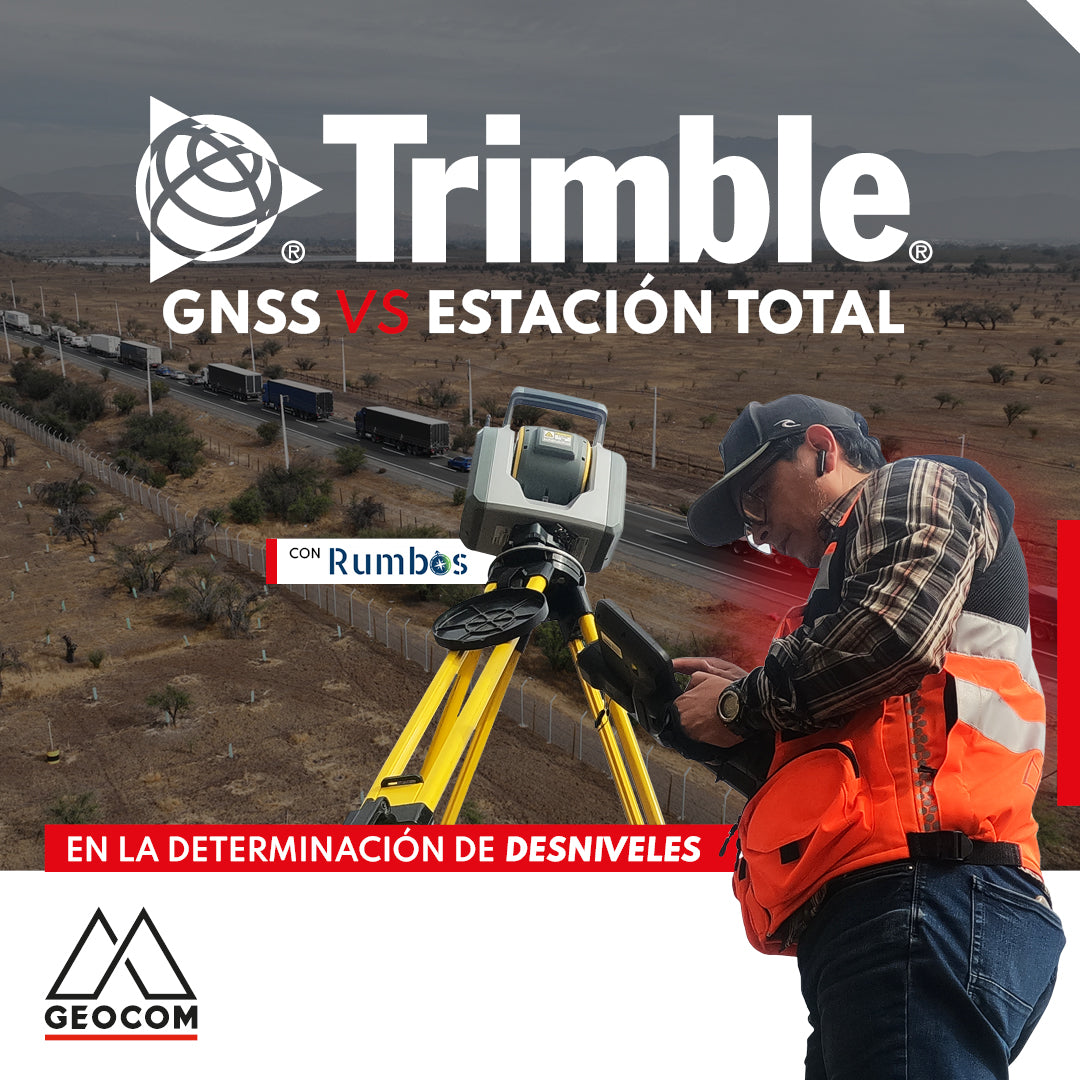
GNSS vs Total Station in determining elevation differences
To compare the determination of height differences using GNSS and total station, a 5 km itinerary is carried out, consisting of 11 materialized points spaced every 500 m, producing a total of 10 height differences, which are observed directly using GNSS and total station.

June Drone Webinar | UgCS Software for Advanced Drone Planning
THURSDAY 06/29 - 3:00 PM | Zoom & YouTube Live
In this webinar, we will review in detail the features of this software, its advantages in terms of advanced planning, and its implementation in the use of various sensors mounted on drones such as echosounders and magnetometers.

New POI intelligent flight mode for DJI Mavic 3 Enterprise
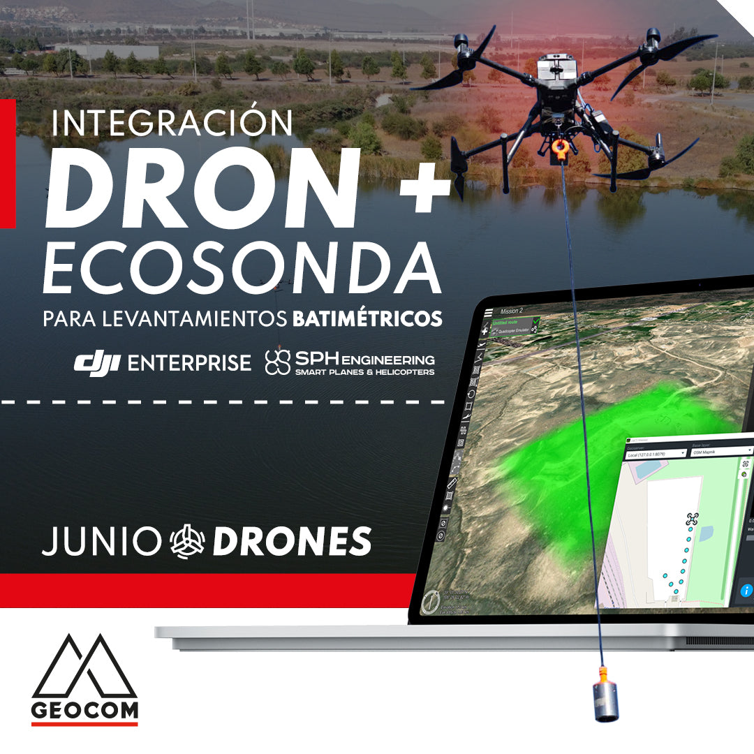
Drone and echo sounder integration for bathymetric surveys
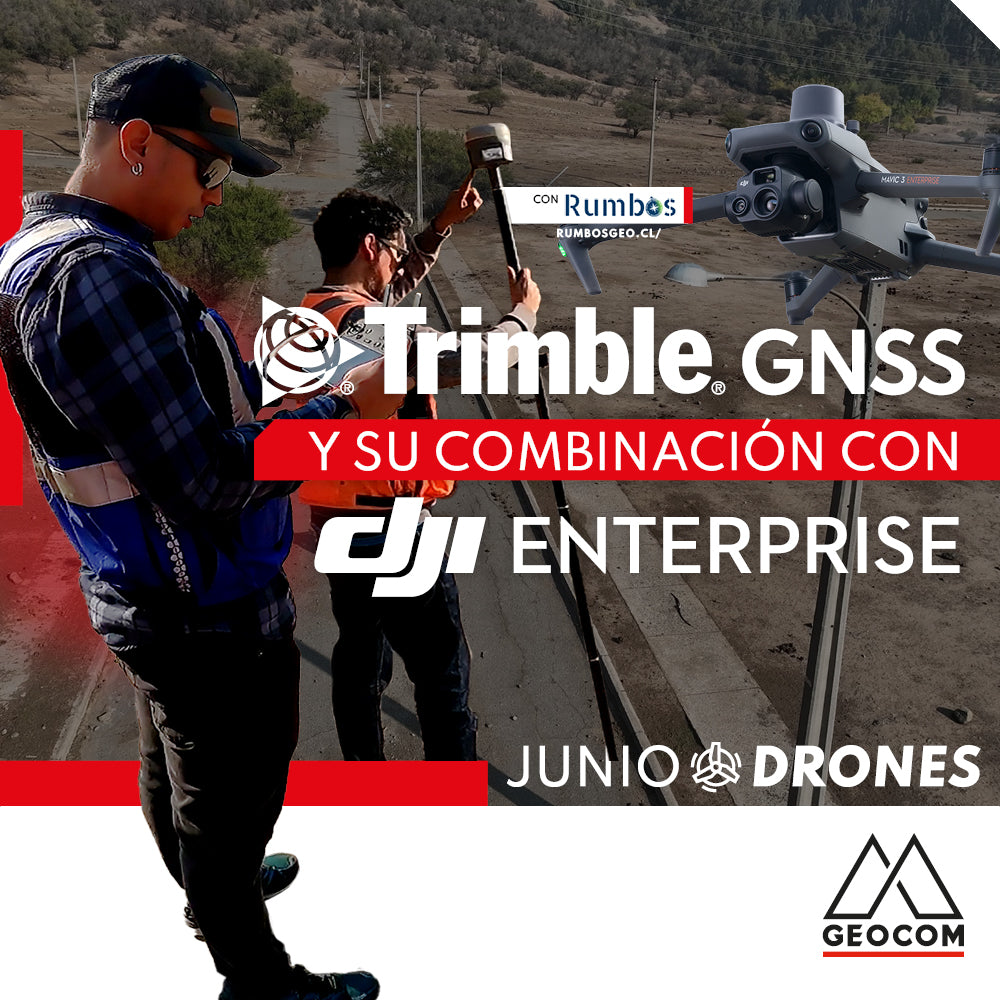
Trimble GNSS and its combination with DJI
The georeferencing of photogrammetric products is a key aspect for their use in different applications, allowing for the maintenance of a unique reference that enables robust and accurate multi-temporal analysis.

RIEGL LiDAR Applications on Drones
RIEGL offers a range of possibilities in the drone LiDAR segment, highlighting the miniVUX-3UAV, VUX-120, and VUX-160 sensors, which deliver a higher level of productivity and performance.

June Drone Webinar | Inspection with Drones
WATCH NOW! | Geocom.cl & YouTube
In this webinar, we will review in detail the characteristics of drones used for inspection, as well as the specifications of their RGB and thermal cameras.

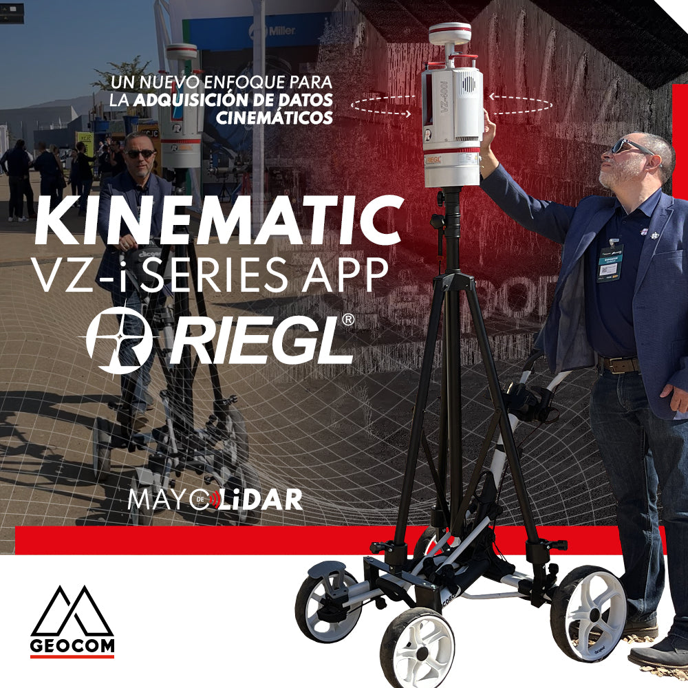
LiDAR SLAM: What are its advantages?
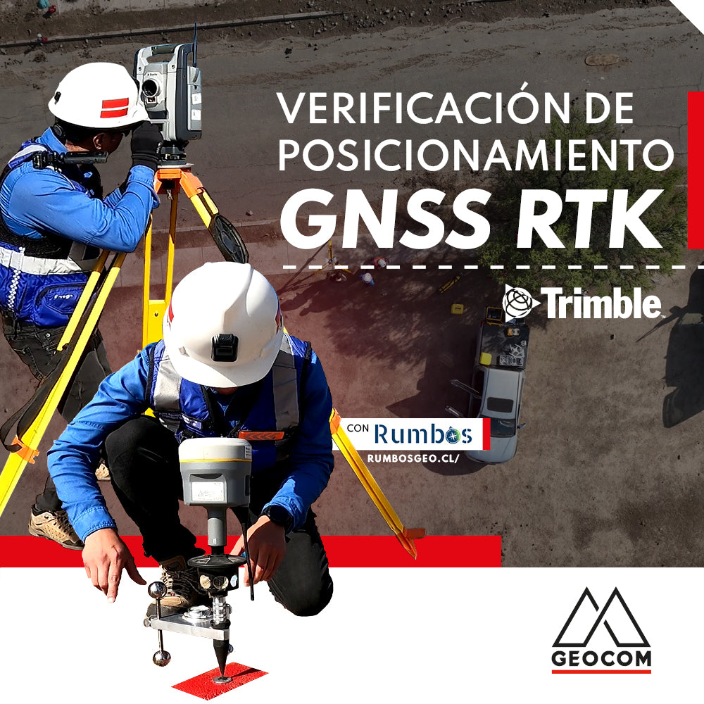
RTK GNSS positioning verification
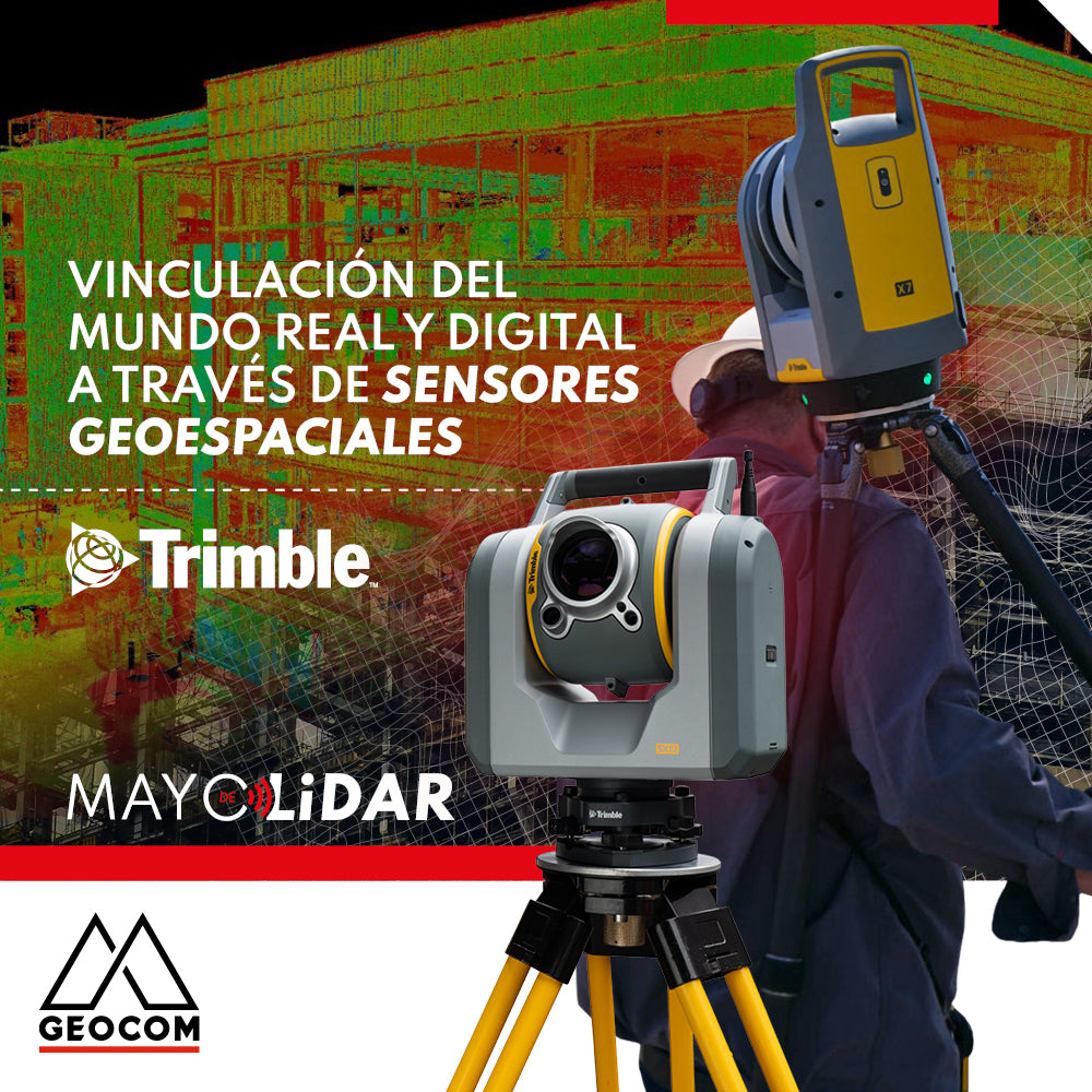
Linking the real and digital worlds through geospatial sensors
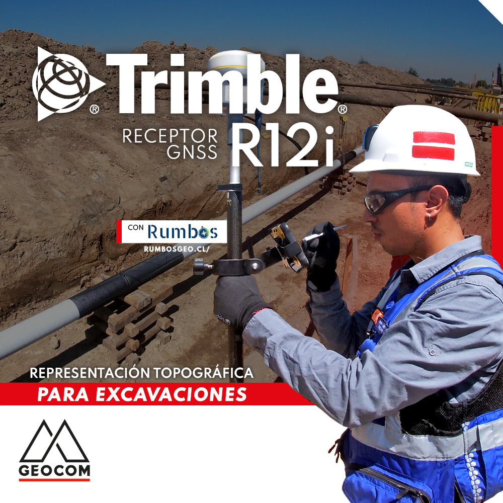
Topographic Representation for Excavations | Trimble R12i