

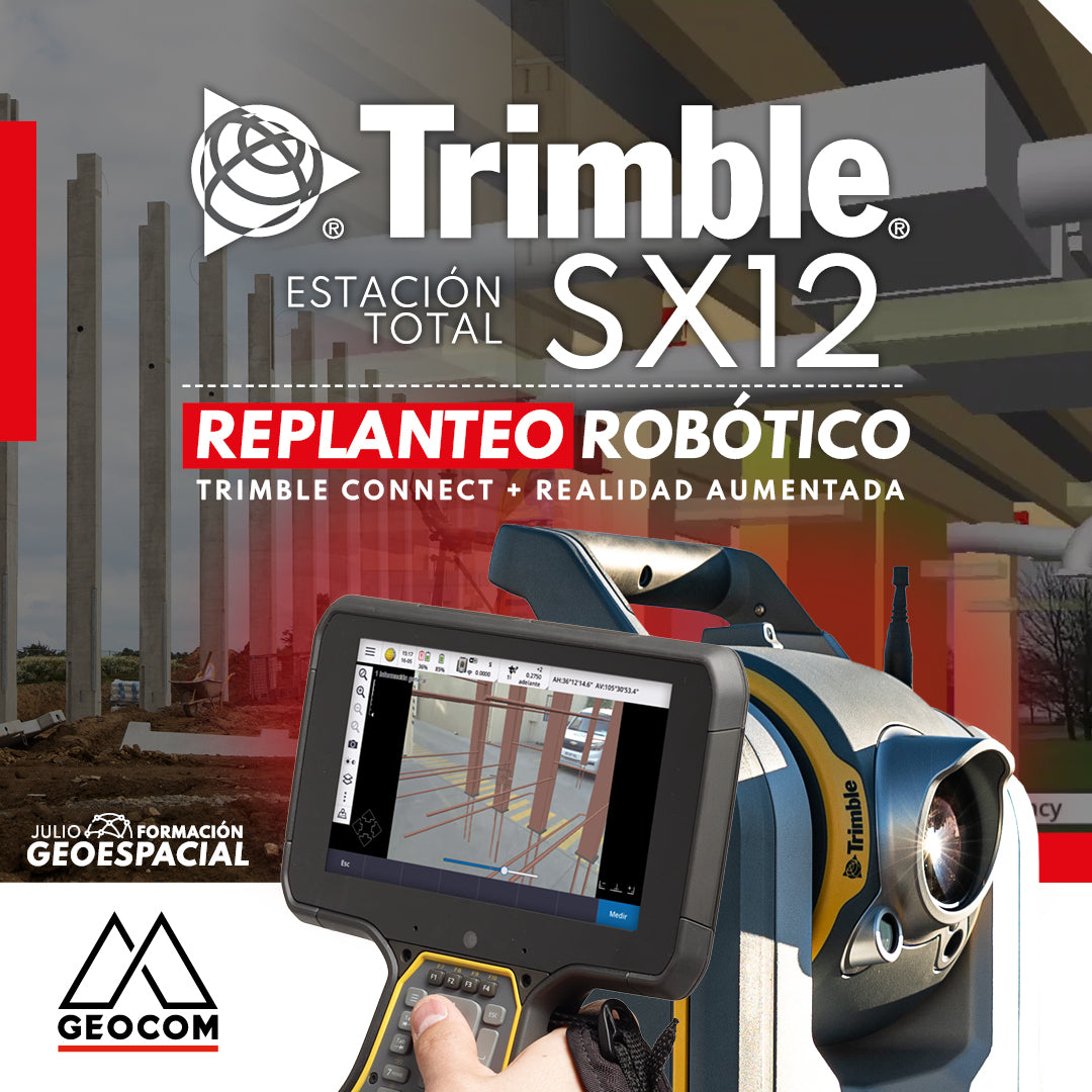

Robotic Layout with Trimble SX12 | Connect + Augmented Reality
Robotic layout with augmented reality using Trimble SX12, Trimble Access, and Trimble Connect is an innovative methodology that transforms the process of design implementation. Trimble SX12 is a scanning total station that combines point clouds and TOPO points (whether from a total station or GNSS). With augmented reality, topographic and design data are superimposed in real-time over the physical view, facilitating precise on-site layout and the detection of potential issues before project execution.


Trimble Access is field software that allows for the processing and control of data captured by the Trimble SX12. It enables precise measurements, real-time adjustments, and the generation of detailed reports, improving the efficiency and quality of work in the field. Trimble Connect, on the other hand, is a cloud-based collaborative platform that facilitates the management of data collected during the layout, allowing for efficient collaboration among team members, both in the office and on-site.


In summary, robotic layout with augmented reality using Trimble SX12, Trimble Access, and Trimble Connect optimizes surveying processes in engineering and construction. The combination of technologies allows for precise layout, early problem detection, and improved communication and collaboration among team members. Furthermore, cloud data management streamlines information flow and facilitates informed decision-making, ensuring project efficiency and quality.
Want to know more? We invite you to participate in our webinar "Robotic Layout & Augmented Reality" this Thursday, 07/06, starting at 3:00 PM. Sign up!
Compartir:
Use of drones with magnetometers for ferrous body detection
Trimble RealWorks | As-Built 3D