

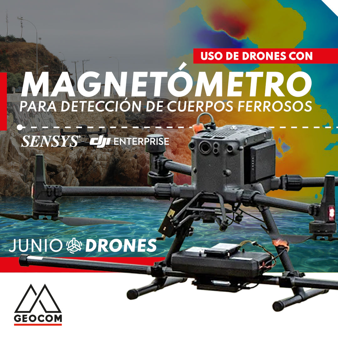


Using drones with magnetometers for ferrous object detection
Magnetometry is a technique used to measure and detect magnetic fields, allowing the quantification of their intensity and direction in a specific area. This type of sensor is especially useful for studying the Earth's magnetic field, mapping the subsurface in search of minerals or natural resources, and for the detection of buried ferrous objects, such as UXOs, pipelines, cables, or archaeological remains.
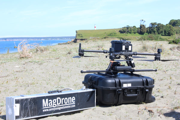
Currently, the Matrice 300 RTK System from DJI's Enterprise line is the ideal multi-rotor for mounting this type of sensor, as it not only stands out for its robustness and operational safety but also offers greater versatility due to its payload capacity of up to 2.7 kg. The integration of the magnetometer with the M300 is carried out by SPH Engineering, which includes a SENSYS brand magnetometer (R3 or R4 model depending on the number of sensors), a radar altimeter to measure precise height over different surfaces, an onboard computer called SkyHub, and the advanced planning software UgCS.


GEOCOM has used this magnetometer with the M300 for the identification of buried ferrous objects, as well as for archaeological prospecting at sea. The latter aims to detect magnetic anomalies to assess the presence of metals on the seabed, resulting from the shipwreck of various vessels. GEOCOM is the official distributor in Chile for DJI's Enterprise line and for the various sensors integrated by SPH Engineering (echosounder, magnetometer, radar, among others).


Do you have any further questions about this type of sensor mounted on UAS & Drones?
Write to us at uas@geocom.cl
Compartir:
Oblique Photogrammetry with SHARE UAV PSDK 102S V3 Camera
TRIMBLE SX12 ROBOTIC LAYOUT | CONNECT + AUGMENTED REALITY