


LevelMe: Precision Trigonometric Leveling
Trigonometric leveling is a technique used in land surveying applications to determine elevation differences between two points using angular measurements and distances. Unlike geometric leveling, which determines elevation differences from staff readings, trigonometric leveling uses trigonometry to indirectly calculate the height difference.
Estación totalEstación Total de escaneoEstación Total RobóticageodesiaGeomensuraGNSSGNSS TrimbleLevel MeR12iReceptor GNSSTrimbleTrimble R12iTrimble SX12
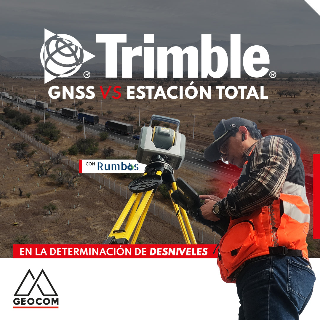
GNSS vs Total Station in determining elevation differences
To compare the determination of height differences using GNSS and total station, a 5 km itinerary is carried out, consisting of 11 materialized points spaced every 500 m, producing a total of 10 height differences, which are observed directly using GNSS and total station.