

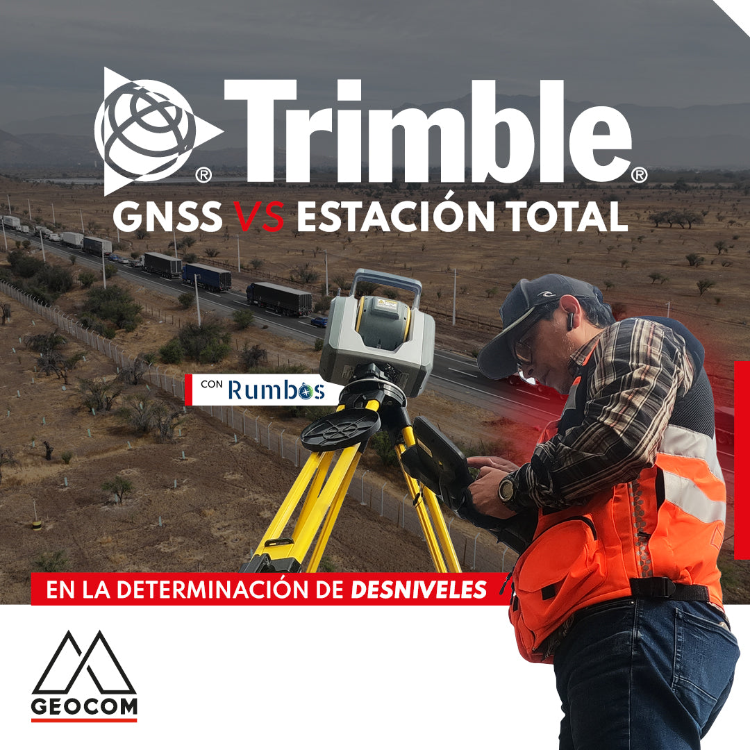

Trimble GNSS vs. Total Station for Elevation Determination
The determination of physical heights in land surveying has always been a challenge, mainly due to the level of precision required and the constant search for procedures that optimize fieldwork. From this starting point, it is possible to analyze alternative methodologies to classic geometric leveling with two primary objectives: precision and productivity. In this document, we present a comparison between alternative methodologies that favor productivity in the field without compromising the precision of height determination.
Introduction
The productivity and simplicity offered by GNSS in determining geodetic positions are well known. Clearly, not requiring a direct line of sight for satellite observation greatly simplifies field operations compared to terrestrial observation methods.
Typically, GNSS is combined with terrestrial geometric leveling observations to obtain high-precision three-dimensional positions along with a physical vertical coordinate. In this regard, geoid models and vertical correction surfaces allow transforming the ellipsoidal height h into a physical height H through the well-known equation H ≈ h - N, where N is the geoid undulation, in the latter case, addressing this determination solely with satellite observations. However, this approach lacks representativeness because geoid models do not have a sufficiently dense grid, and vertical correction surfaces require previous combined observation work (satellite and terrestrial) to collect data for their creation.

Figure 1: Representation of the relationship between ellipsoidal height (h), geoid undulation (N), and elevation (H)
Trigonometric Leveling
An alternative to geometric leveling is trigonometric leveling, a widely used method in topography that allows determining height differences between points of interest. It is based on trigonometric principles and uses measuring instruments such as a total station. In trigonometric leveling, a direct line of sight is established between two reference points using a total station. The vertical angle between the line of sight and the zenith, as well as the inclined distance between the points, instrument height, and prism height, are measured. These data are used to calculate the height difference between the points based on trigonometric calculations.

Figure 2: Trigonometric Leveling
Having defined both height observation techniques, the differential approach of GNSS is presented as a potential alternative. For this, it is important to make comparisons to determine how accurate this determination is.
The problem of determining elevation differences using GNSS
Differential GNSS observation produces what is known as a baseline, which is a segment in space consisting of 3 geocentric components (ΔX, ΔY, ΔZ) that can be expressed as geodetic components (Δφ, Δλ, Δh)
Following this, the Δh component can be expressed as the difference between both ellipsoidal heights:
Δh = h2 - h1
Furthermore, applying the differential form of the equation H ≈ h - N yields ΔH = Δh - ΔN, or:
H2 = H1 + h2 - h1 - (N2 - N1)
Therefore, the calculation of physical heights from ellipsoidal heights depends on the difference ΔN, which must be calculated from a geoid model or a vertical correction surface.
Trimble Level Me: an alternative to geometric leveling
Geometric leveling is a terrestrial observation technique that allows determining elevation differences based on the establishment of leveled surfaces related to gravity. Trigonometric leveling works in the same way but does not achieve the precision of geometric leveling, which is one of the most precise geodetic observation techniques available. In terms of productivity, the main problem with geometric leveling is its slowness in advancing for position densification, a situation that improves substantially with trigonometric leveling.
An intermediate vertical observation methodology is to perform trigonometric leveling from the same perspective as geometric leveling with a total station, that is, an integration between geometric and trigonometric leveling. Trimble, through Trimble Access (TA), incorporates software that allows applying this methodology directly: Trimble Level Me, a powerful software developed by the Spanish company Altop, is fully integrated into the workflows of Trimble total stations that feature TA.
Level Me works by observing, through automatic cycles performed on both faces of the total station, the elevation difference between the total station and a fixed-height prism without the instrument occupying a reference point. This operation is repeated as many times as necessary through a traverse that connects the points whose height is to be determined.

Figure 3: Level Me operating principle
The accuracies achieved by Level Me are fully comparable to geometric leveling but significantly increase productivity, a key point when evaluating its use in the field.
Experiment conducted
To compare the determination of elevation differences using GNSS and a total station, a 5 km traverse is carried out, consisting of 11 materialized points placed every 500 m, producing a total of 10 elevation differences, which are observed directly using GNSS and a total station.
For GNSS, static observations are chosen for at least 10 minutes. The elevation difference observed by the total station is performed using Level Me, installing the instrument approximately halfway along the line and observing 4 cycles in direct and inverted face, an operation that is repeated to observe 2 elevation differences in the style of geometric leveling by double instrument position.


Geoid behavior in the study area
A portion of the EGM08 is extracted to observe the geoid's behavior. First of all, an approximately linear change is evident, mainly due to the extent covered by the experiment. Generally, a slope of 5.8 mm per 100 m is observed in the direction of the 5 km leveling line.
Finally, from the same previous analysis, a mean value of 2.9 ± 0.7 cm for the correction due to undulation differences for the individualized sections is obtained.

Figure 4: Geoid behavior in the study area
Results
First, baseline processing is performed (having observed GPS, GLONASS, Galileo, and BeiDou), yielding the following results:
|
From |
To |
Δh (m) |
Prec. 95% (m) |
ΔN (m) |
ΔH (m) |
|
PR01 |
PR02 |
-0.0603 |
0.0037 |
0.0285 |
-0.0888 |
|
PR02 |
PR03 |
-4.7244 |
0.0057 |
0.0287 |
-4.7531 |
|
PR03 |
PR04 |
-4.1919 |
0.0036 |
0.0294 |
-4.2213 |
|
PR04 |
PR05 |
5.0942 |
0.0069 |
0.0297 |
5.0645 |
|
PR05 |
PR06 |
3.7177 |
0.0037 |
0.0291 |
3.6886 |
|
PR06 |
PR07 |
-1.8111 |
0.0046 |
0.0277 |
-1.8388 |
|
PR07 |
PR08 |
3.5338 |
0.0027 |
0.0279 |
3.5059 |
|
PR08 |
PR09 |
3.4822 |
0.0042 |
0.0281 |
3.4541 |
|
PR09 |
PR10 |
4.0876 |
0.0032 |
0.0281 |
4.0595 |
|
PR10 |
PR11 |
5.2476 |
0.0036 |
0.029 |
5.2186 |
Table 1: Elevation differences obtained using GNSS
The results in Table 1 show millimeter-level accuracies for the elevation differences with 95% confidence in their determination for all measured sections. On the other hand, we have the observations made with Level Me:
|
From |
To |
Observed ΔH |
Adjusted ΔH |
Prec. 95% (m) |
Residual (m) |
|
PR01 |
PR02 |
-0.0846 |
-0.0841 |
0.0013 |
0.0005 |
|
PR02 |
PR01 |
0.0836 |
0.0841 |
0.0013 |
0.0005 |
|
PR02 |
PR03 |
-4.7544 |
-4.7545 |
0.0013 |
-0.0001 |
|
PR03 |
PR02 |
4.7546 |
4.7545 |
0.0013 |
-0.0001 |
|
PR03 |
PR04 |
-4.2141 |
-4.2137 |
0.0013 |
0.0004 |
|
PR04 |
PR03 |
4.2133 |
4.2137 |
0.0013 |
0.0004 |
|
PR04 |
PR05 |
5.0736 |
5.0738 |
0.0013 |
0.0002 |
|
PR05 |
PR04 |
-5.074 |
-5.0738 |
0.0013 |
0.0002 |
|
PR05 |
PR06 |
3.6918 |
3.6933 |
0.0013 |
0.0015 |
|
PR06 |
PR05 |
-3.6948 |
-3.6933 |
0.0013 |
0.0015 |
|
PR06 |
PR07 |
-1.8325 |
-1.8331 |
0.0013 |
-0.0006 |
|
PR07 |
PR06 |
1.8337 |
1.8331 |
0.0013 |
-0.0006 |
|
PR07 |
PR08 |
3.5147 |
3.5149 |
0.0013 |
0.0002 |
|
PR08 |
PR07 |
-3.5151 |
-3.5149 |
0.0013 |
0.0002 |
|
PR08 |
PR09 |
3.4669 |
3.4657 |
0.0013 |
-0.0012 |
|
PR09 |
PR08 |
-3.4645 |
-3.4657 |
0.0013 |
-0.0012 |
|
PR09 |
PR10 |
4.0629 |
4.0625 |
0.0013 |
-0.0004 |
|
PR10 |
PR09 |
-4.0621 |
-4.0625 |
0.0013 |
-0.0004 |
|
PR10 |
PR11 |
5.2251 |
5.2246 |
0.0013 |
-0.0005 |
|
PR11 |
PR10 |
-5.2241 |
-5.2246 |
0.0013 |
-0.0005 |
Table 2: Elevation differences obtained using Level Me
As in Table 1, the results presented for the precisions of the elevation differences obtained by Level Me are millimeter-level at 95% confidence for all sections, and when compared to GNSS determination, their magnitude is smaller. Finally, the following comparison of elevation differences is obtained:
|
From |
To |
GNSS (m) |
Level Me (m) |
Difference (m) |
|
PR01 |
PR02 |
-0.0888 |
-0.0841 |
-0.0047 |
|
PR02 |
PR03 |
-4.7531 |
-4.7545 |
0.0014 |
|
PR03 |
PR04 |
-4.2213 |
-4.2137 |
-0.0076 |
|
PR04 |
PR05 |
5.0645 |
5.0738 |
-0.0093 |
|
PR05 |
PR06 |
3.6886 |
3.6933 |
-0.0047 |
|
PR06 |
PR07 |
-1.8388 |
-1.8331 |
-0.0057 |
|
PR07 |
PR08 |
3.5059 |
3.5149 |
-0.0090 |
|
PR08 |
PR09 |
3.4541 |
3.4657 |
-0.0116 |
|
PR09 |
PR10 |
4.0595 |
4.0625 |
-0.0030 |
|
PR10 |
PR11 |
5.2186 |
5.2246 |
-0.0060 |
Table 3: Differences between Level Me and GNSS
The results obtained in Table 3 are represented in Graph 1. Analyzing this graph, it is possible to determine millimeter-order differences (with the exception of the PR08 - PR09 section), with a root mean square error of 7.3 mm for 500 m sections and a linear geoid behavior:

Graph 1: Differences between Level Me and GNSS
Conclusions
The geometric leveling process provides a high level of precision in determining elevations; however, its operation in the field involves a significant number of human and logistical resources, making it an inefficient process.
As presented in this document, alternatives such as GNSS determinations and the absolute use of a geoidal model are among the most common alternatives in engineering. However, this process heavily depends on the representativeness of the geoid used, which does not necessarily precisely represent the physical elevation difference between two points, making this its main disadvantage. In the same vein, the use of corrective surfaces significantly improves the use of GNSS; however, their construction relies on geometric leveling for adjustment, thus also depending on geometric leveling. Finally, the use of trigonometric leveling is presented as a viable option, but theoretically less precise. Thus, the option of incorporating an intermediate automated methodology (geometric and trigonometric leveling) as proposed by Level Me is presented as a viable option that allows for increased productivity while maintaining adequate precision standards.
During the experiments presented for points separated by 500 m, millimeter-order precisions were obtained at 95% confidence, which can clearly be a viable alternative for processes requiring this type of technical specification.
Acknowledgments
GEOCOM thanks Rumbos Geomensura for their support in this experience.

Compartir:
June Drone Webinar | UgCS Software for Advanced Drone Planning
Oblique Photogrammetry with SHARE UAV PSDK 102S V3 Camera