


Next-generation inclined measurement
Trimble R12i GNSS with TIP technology achieves improved horizontal accuracy of 3 mm + 0.15 mm/° starting with firmware 6.43, enabling highly accurate tilted measurements even in complex environments.
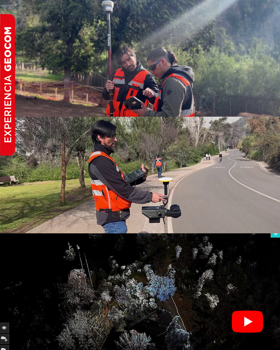
SLAM Technology in action: A real experience in the Metropolitan Park
In this video, we will show you an experiment carried out in Met Park, with the aim of obtaining a georeferenced point cloud using SLAM Exyn Nexys technology.
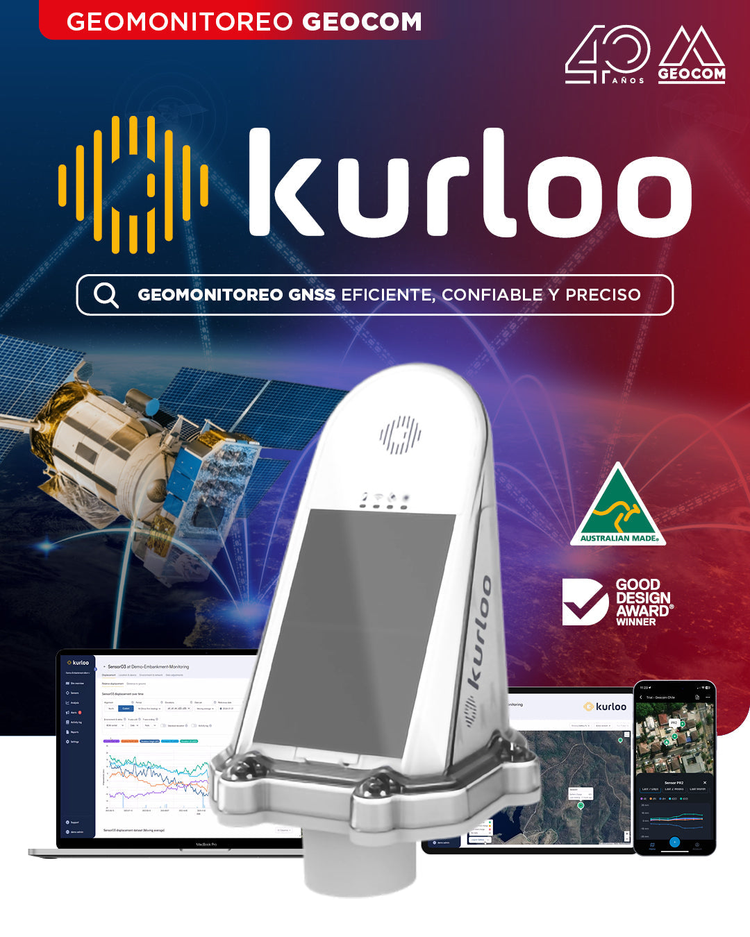
GEOCOM Launches Kurloo: The Autonomous, High-Precision GNSS Geomonitoring System
We announce the official launch and incorporation of GNSS receivers from the Australian company Kurloo into our Geomonitoring portfolio.
![[Santiago 📍 Workshop] Procesamiento y ajuste de datos GNSS](http://www.geocom.cl/cdn/shop/articles/post_ig_WORKSHOP_Procesamiento_de_datos_GNSS_c8d3d72e-5d9e-40b8-b192-5dbe55e82871.jpg?v=1753371969&width=1080)
[Santiago 📍 Workshop] GNSS Data Processing and Adjustment
THURSDAY, AUGUST 21 | 09:00 AM TO 01:30 PM | GEOCOM STUDIES CENTER
In this workshop, we will present different examples developed with TBC (Trimble Business Center) tools to optimize the GNSS network design, processing, adjustment, and deliverables process.
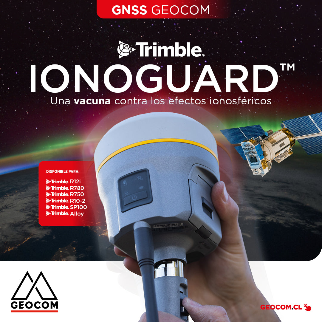
Trimble IonoGuard: A Vaccine Against Ionospheric Effects
IonoGuard works on Trimble GNSS receivers that operate with the ProPoint real-time processing engine (R12i, R780, R750, R10-2, SP100, Alloy)
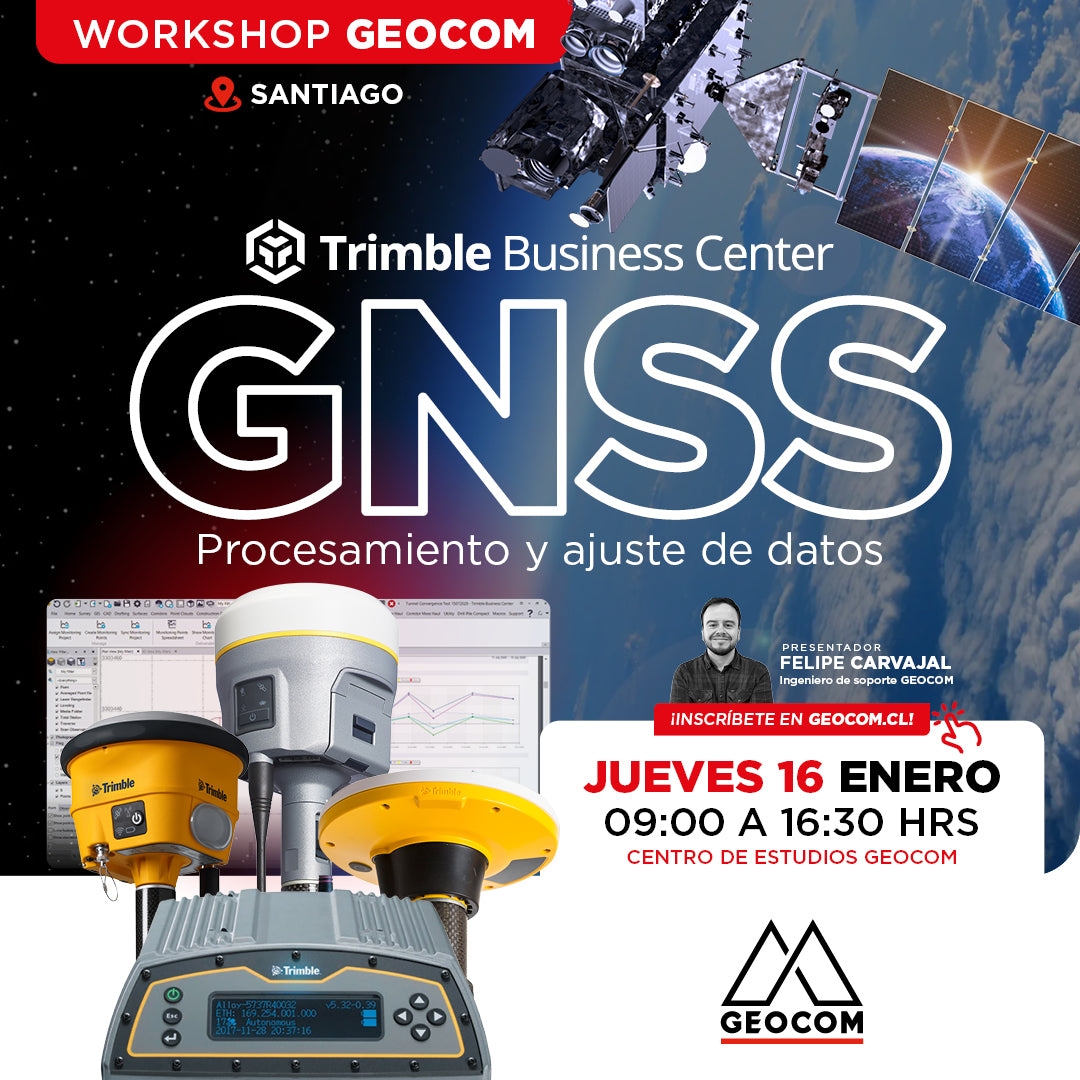
Santiago Workshop | GNSS Data Processing and Adjustment in TBC
THURSDAY, JANUARY 16 | 09:00 AM TO 04:30 PM | GEOCOM STUDY CENTER
In this workshop, we will present different examples developed with TBC (Trimble Business Center) tools to optimize the process of GNSS network design, processing, adjustment, and deliverables.
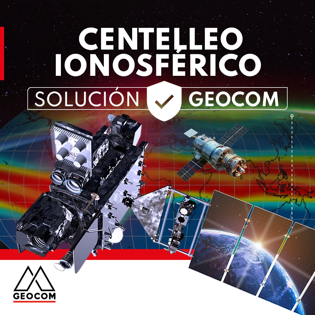
GEOCOM presents a solution for ionospheric scintillation
This article reviews the impact of the solar cycle and ionospheric scintillation on GNSS users and manufacturers. In addition, GEOCOM's developments and technology to mitigate these effects on satellite positioning are presented.
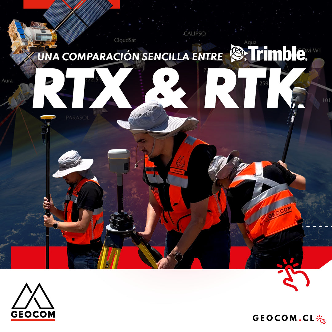
A Simple Comparison Between Trimble RTX & RTK
Trimble has delved deeper into the PPP technique through Trimble RTX, which can be used either in real-time or post-processing. Now, in terms of compatibility, the questions that arise are: Is RTX compatible with determinations made in RTK? Can RTX and RTK data coexist in the same project?
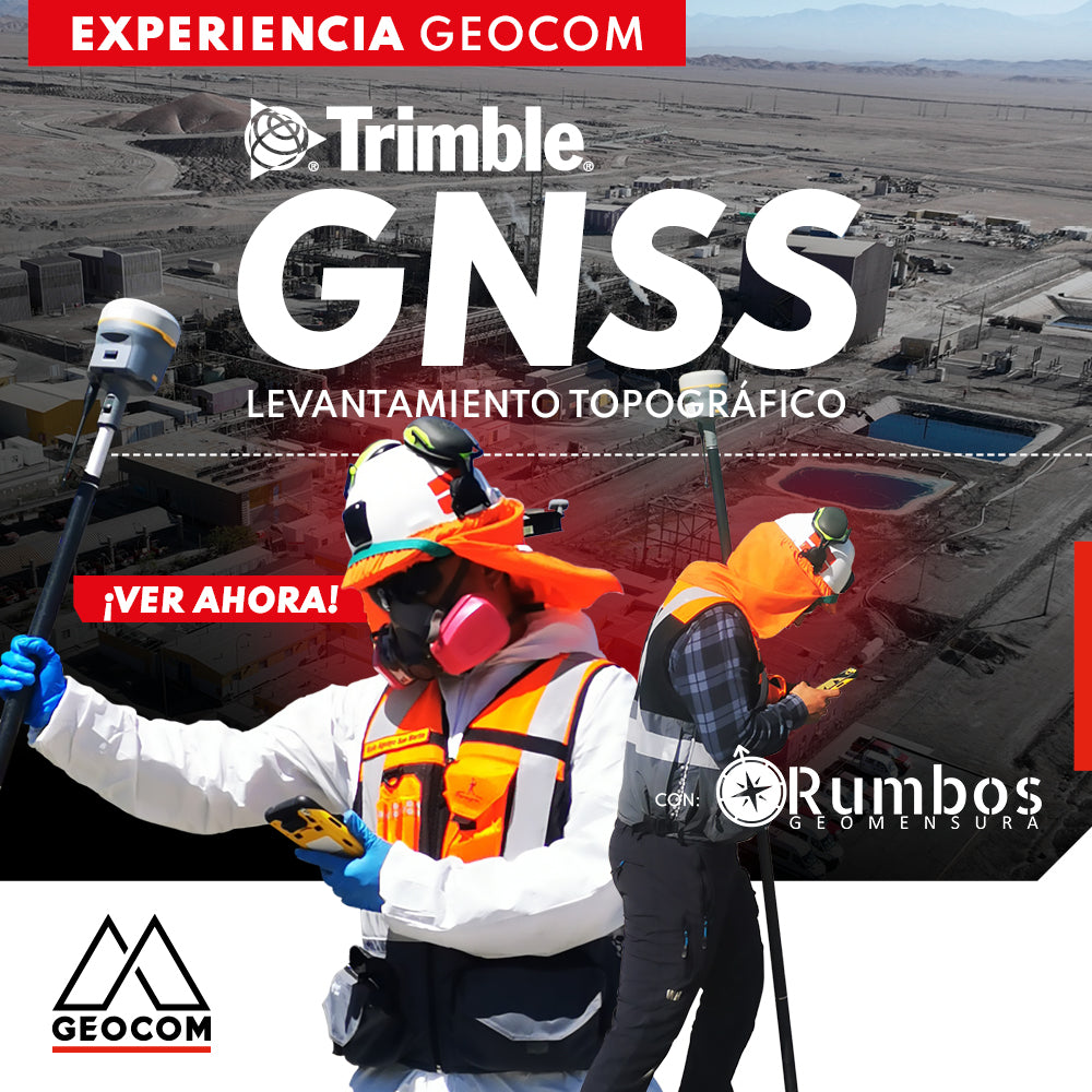
Trimble GNSS | Mine Plant Survey
GNSS in its RTK mode has become a standard for conducting topographic surveys due to its high productivity and ease of observation. Furthermore, by adding automatic drawing tools, the use of GNSS is tremendously beneficial.

Trimble ProPoint Engine: Next-Generation Centimeter-Level Positioning and Orientation
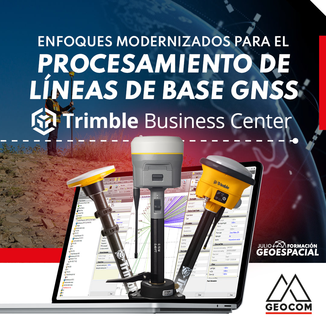
Modernized Approaches for GNSS Baseline Processing in Trimble Business Center
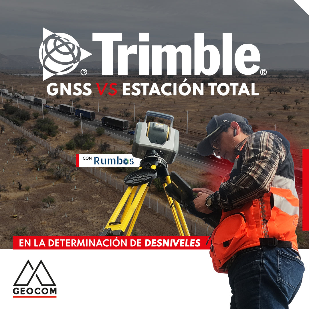
GNSS vs Total Station in determining elevation differences
To compare the determination of height differences using GNSS and total station, a 5 km itinerary is carried out, consisting of 11 materialized points spaced every 500 m, producing a total of 10 height differences, which are observed directly using GNSS and total station.
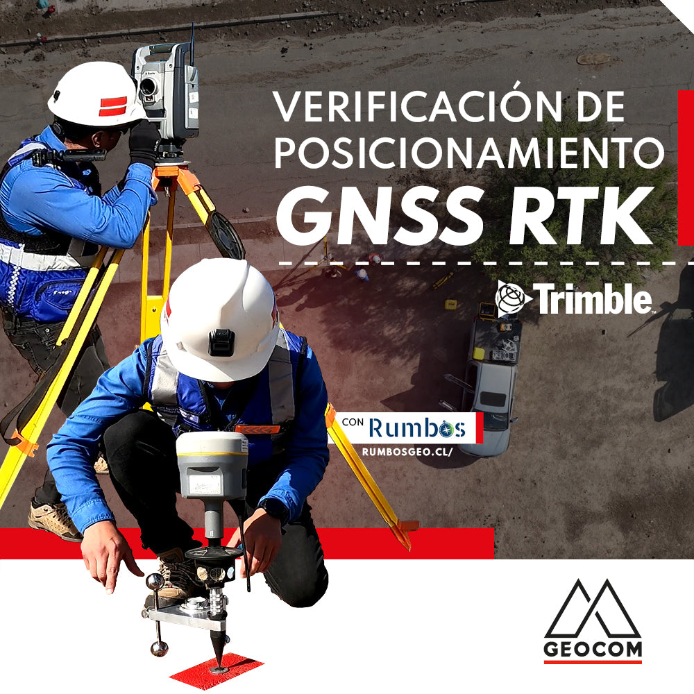
RTK GNSS positioning verification
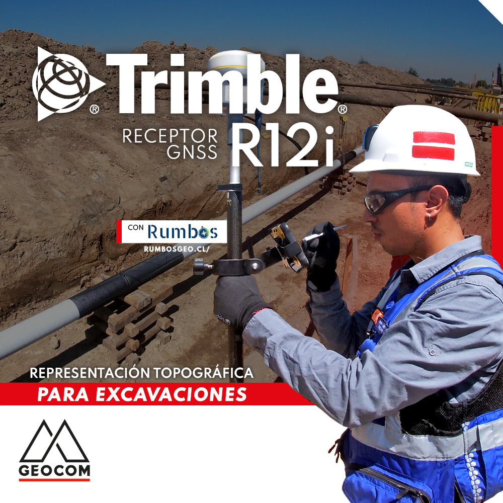
Topographic Representation for Excavations | Trimble R12i
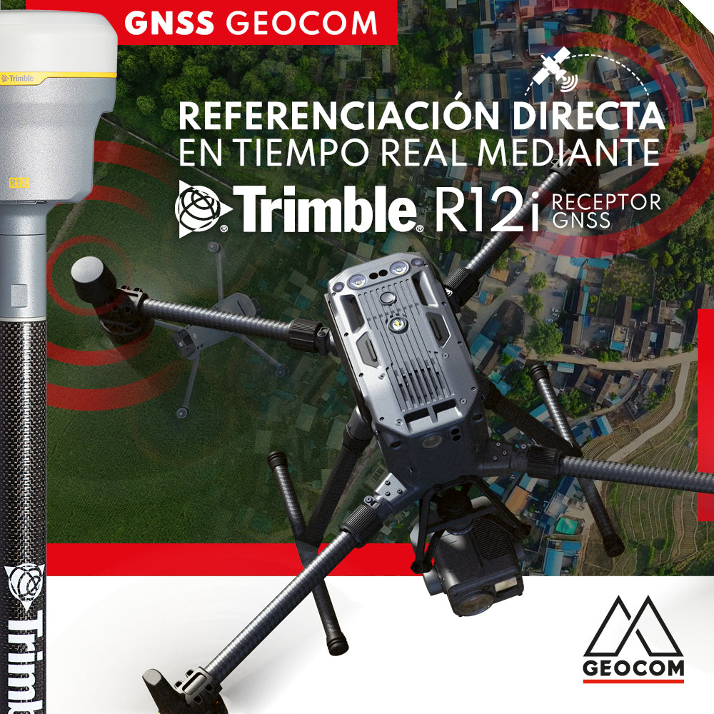
Real-time direct referencing with Trimble R12i