![[Santiago 📍 Workshop] Procesamiento y ajuste de datos GNSS](http://www.geocom.cl/cdn/shop/articles/post_ig_WORKSHOP_Procesamiento_de_datos_GNSS_c8d3d72e-5d9e-40b8-b192-5dbe55e82871.jpg?v=1753371969&width=1080)
[Santiago 📍 Workshop] GNSS Data Processing and Adjustment
THURSDAY, AUGUST 21 | 09:00 AM TO 01:30 PM | GEOCOM STUDIES CENTER
In this workshop, we will present different examples developed with TBC (Trimble Business Center) tools to optimize the GNSS network design, processing, adjustment, and deliverables process.
![Representación topográfica a partir de GNSS-RTK [03 CICLO TBC]](http://www.geocom.cl/cdn/shop/articles/post_ig_ciclo_TBC3.jpg?v=1748445020&width=1080)
Topographic Representation using GNSS-RTK [03 TBC CYCLE]
PUBLICATION 03 | TBC CYCLE | GEOCOM Engineering
The integration between Trimble Access, feature libraries, and Trimble Business Center allows for the creation of professional-quality graphic products, significantly reducing processing times and minimizing errors in terrain representation.
![Densificación geodésica a partir de datos GNSS [02 CICLO TBC]](http://www.geocom.cl/cdn/shop/articles/post_ig_ciclo_TBC2.jpg?v=1746715775&width=1080)
Geodetic densification from GNSS data [02 TBC CYCLE]
PUBLICATION 02 | TBC CYCLE | GEOCOM Engineering
In this example, some observation and calculation strategies for densifying SIRGAS-Chile will be reviewed using GNSS observations in a context associated with a topographic representation.
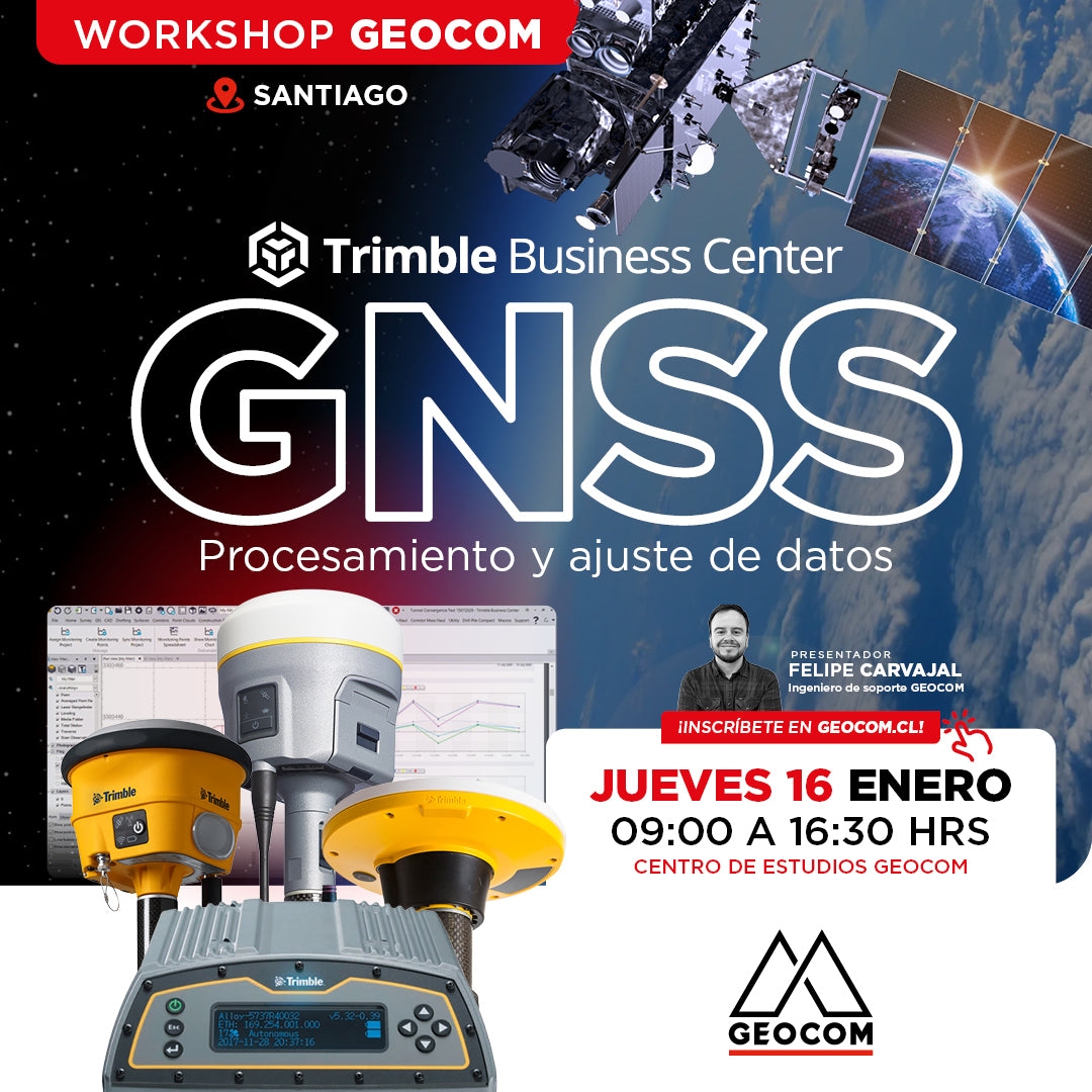
Santiago Workshop | GNSS Data Processing and Adjustment in TBC
THURSDAY, JANUARY 16 | 09:00 AM TO 04:30 PM | GEOCOM STUDY CENTER
In this workshop, we will present different examples developed with TBC (Trimble Business Center) tools to optimize the process of GNSS network design, processing, adjustment, and deliverables.
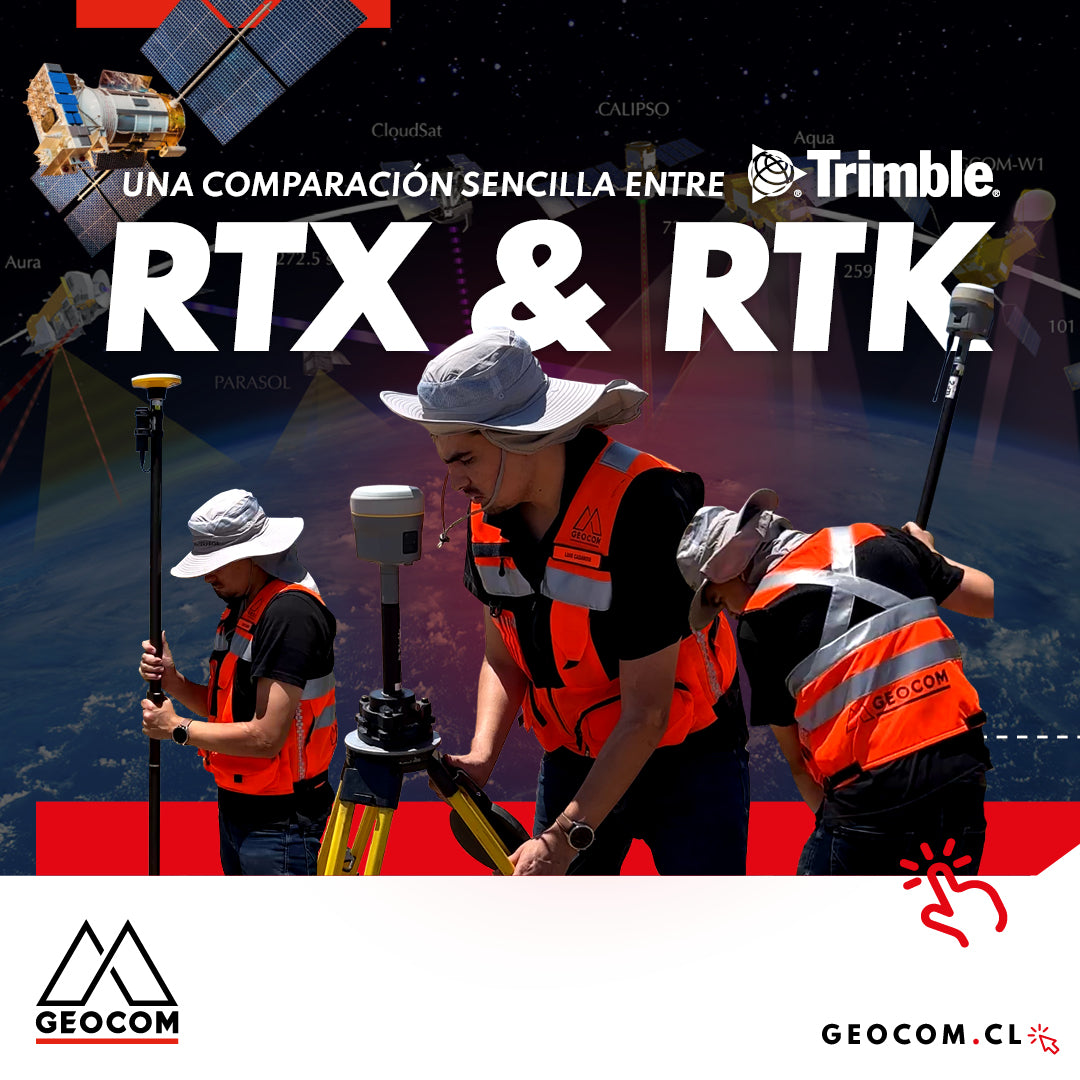
A Simple Comparison Between Trimble RTX & RTK
Trimble has delved deeper into the PPP technique through Trimble RTX, which can be used either in real-time or post-processing. Now, in terms of compatibility, the questions that arise are: Is RTX compatible with determinations made in RTK? Can RTX and RTK data coexist in the same project?

RTX: Over a decade of precise point positioning
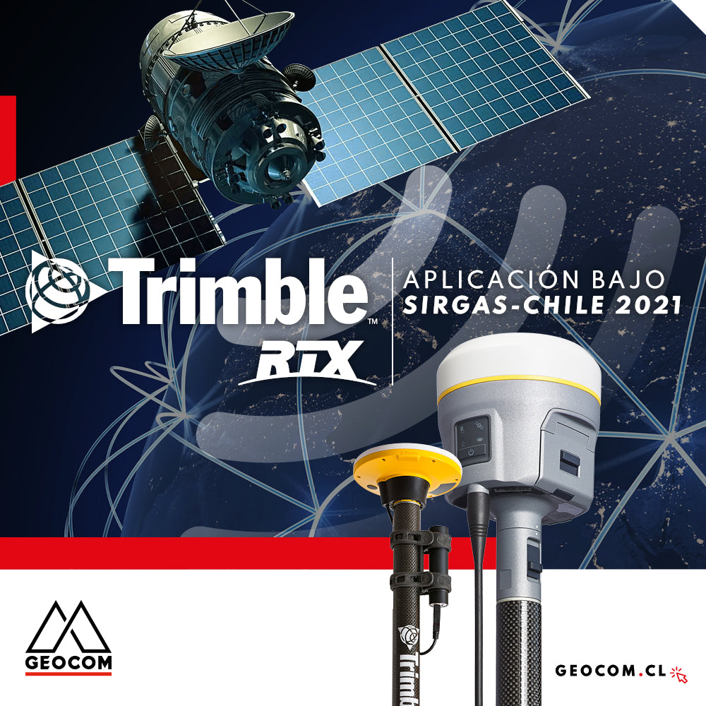
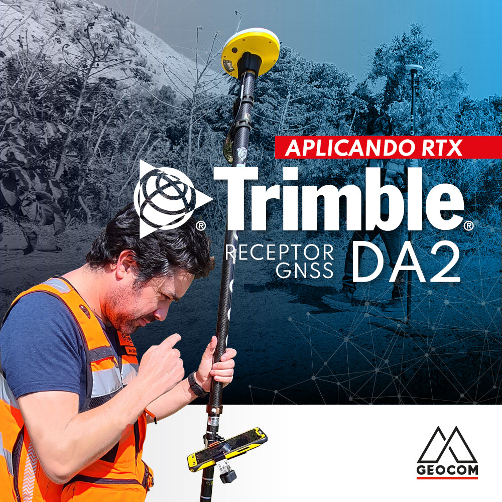
Trimble RTX application under SIRGAS-Chile 2021
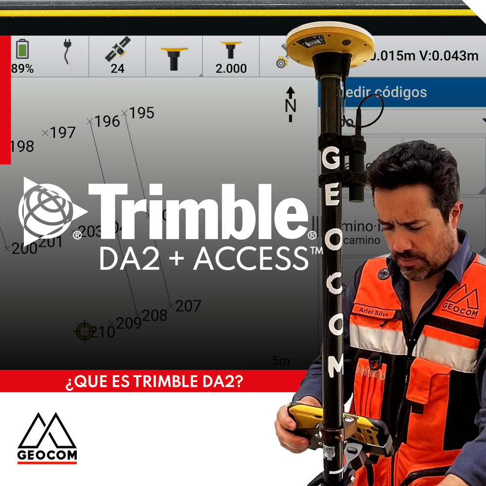
Trimble DA2 can be integrated with a variety of field software, including Trimble Access, which offers a series of advanced functionalities for surveying.
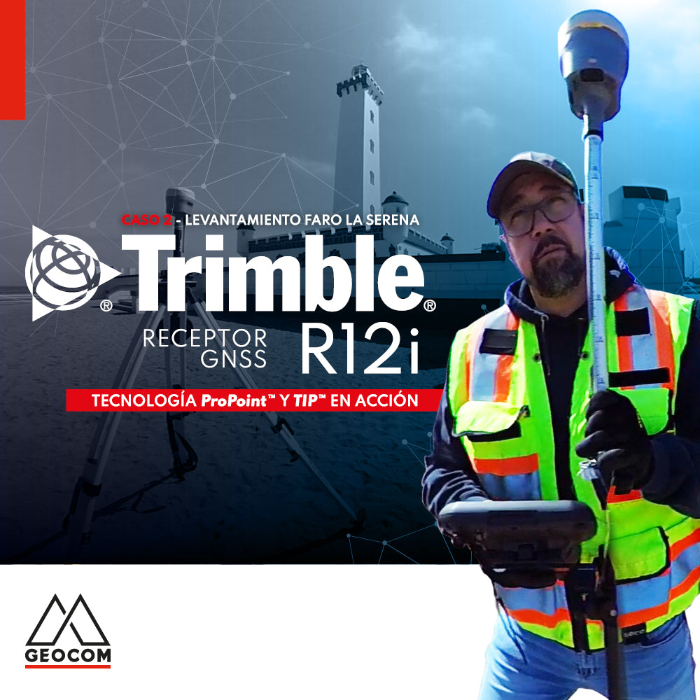
Case 2 Trimble R12i | La Serena Lighthouse Survey
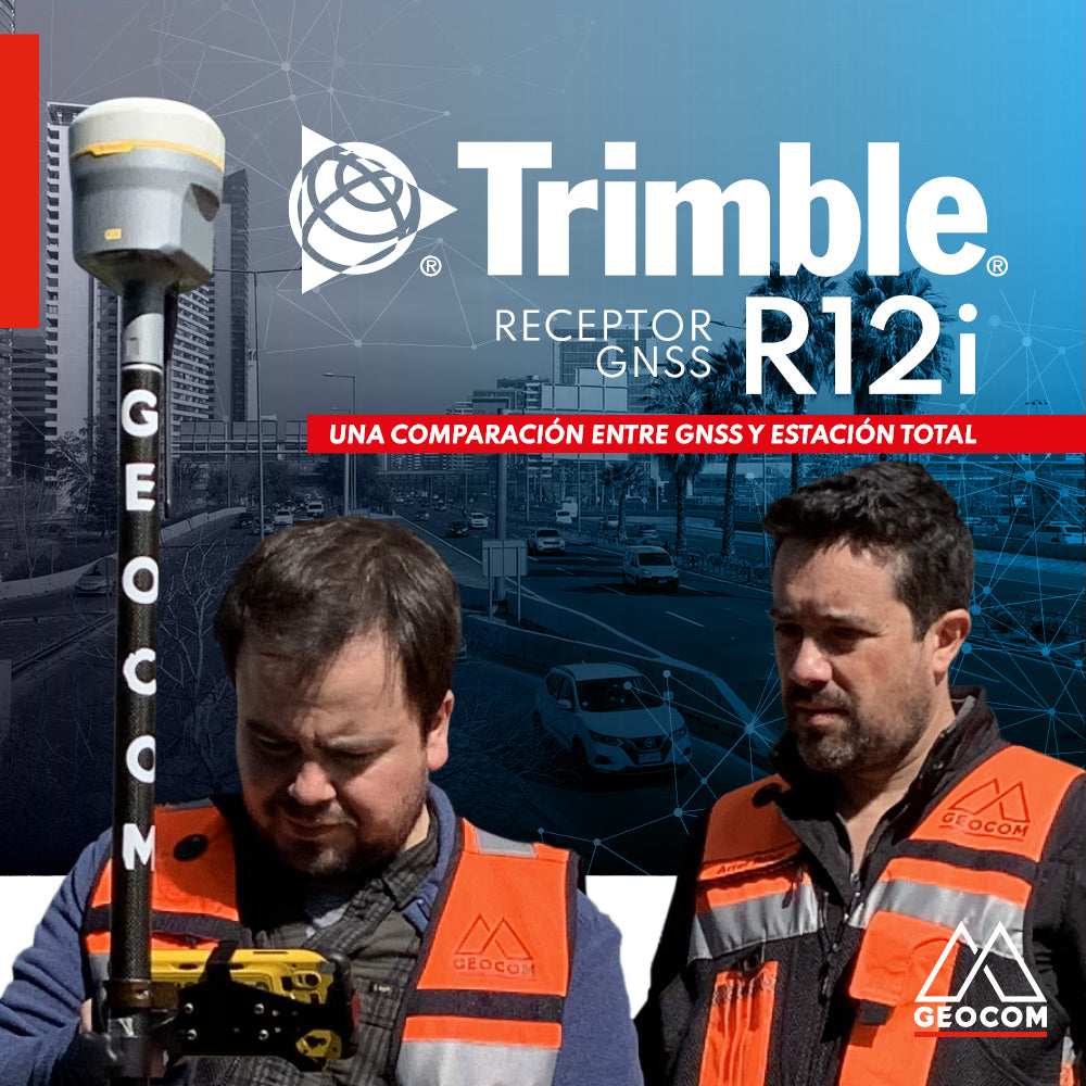
A comparison between GNSS and Total Station
A DA2 receiver was tested in conjunction with a Catalyst 1 subscription for the topographic representation of a property for cadastral and demarcation purposes.
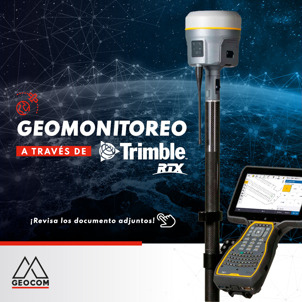
Geomonitoring with Trimble RTX
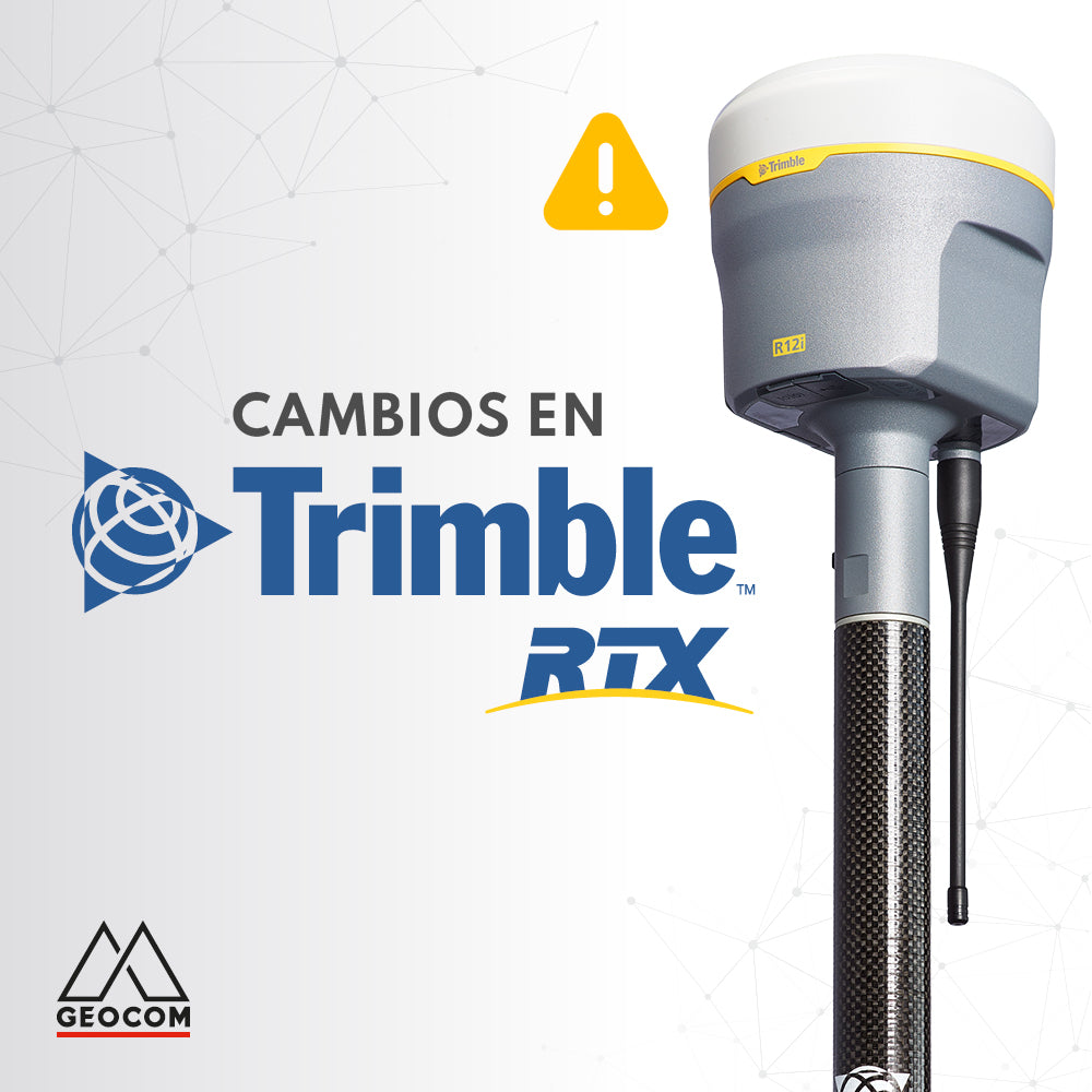
Changes to Trimble RTX and Trimble xFill services
Trimble RTX is undergoing some changes. The frequency and baud rate will change as follows:
Region: Latin America | Name: RTXAL | Frequency: 1545.285 MHz | Baud rate: 2400 bps
This change must be made before September 30.