

![[Santiago 📍 Workshop] Procesamiento y ajuste de datos GNSS](http://www.geocom.cl/cdn/shop/articles/post_ig_WORKSHOP_Procesamiento_de_datos_GNSS_c8d3d72e-5d9e-40b8-b192-5dbe55e82871.jpg?v=1753371969&width=1080)
[Santiago 📍 Workshop] GNSS Data Processing and Adjustment
THURSDAY, AUGUST 21 | 09:00 AM TO 01:30 PM | GEOCOM STUDIES CENTER
In this workshop, we will present different examples developed with TBC (Trimble Business Center) tools to optimize the GNSS network design, processing, adjustment, and deliverables process.
![Densificación geodésica a partir de datos GNSS [02 CICLO TBC]](http://www.geocom.cl/cdn/shop/articles/post_ig_ciclo_TBC2.jpg?v=1746715775&width=1080)
Geodetic densification from GNSS data [02 TBC CYCLE]
PUBLICATION 02 | TBC CYCLE | GEOCOM Engineering
In this example, some observation and calculation strategies for densifying SIRGAS-Chile will be reviewed using GNSS observations in a context associated with a topographic representation.
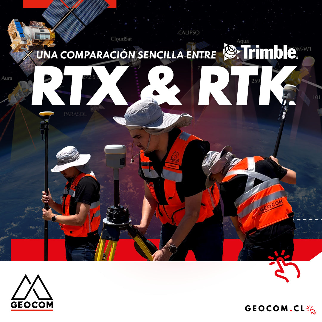
A Simple Comparison Between Trimble RTX & RTK
Trimble has delved deeper into the PPP technique through Trimble RTX, which can be used either in real-time or post-processing. Now, in terms of compatibility, the questions that arise are: Is RTX compatible with determinations made in RTK? Can RTX and RTK data coexist in the same project?
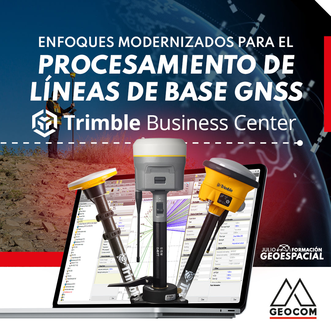
Modernized Approaches for GNSS Baseline Processing in Trimble Business Center

RTX: Over a decade of precise point positioning
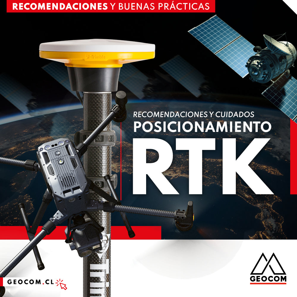
RTK Positioning: Recommendations and Care
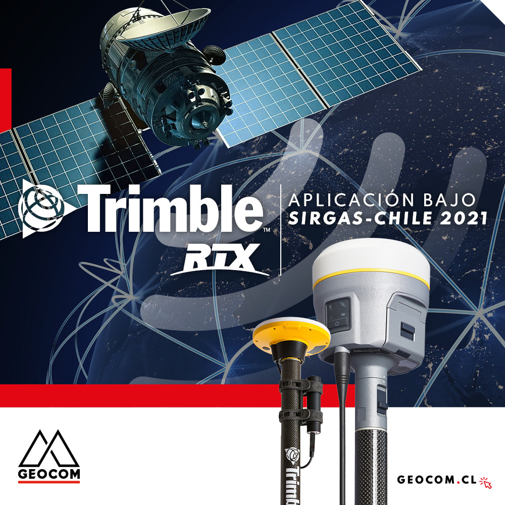
Trimble RTX application under SIRGAS-Chile 2021
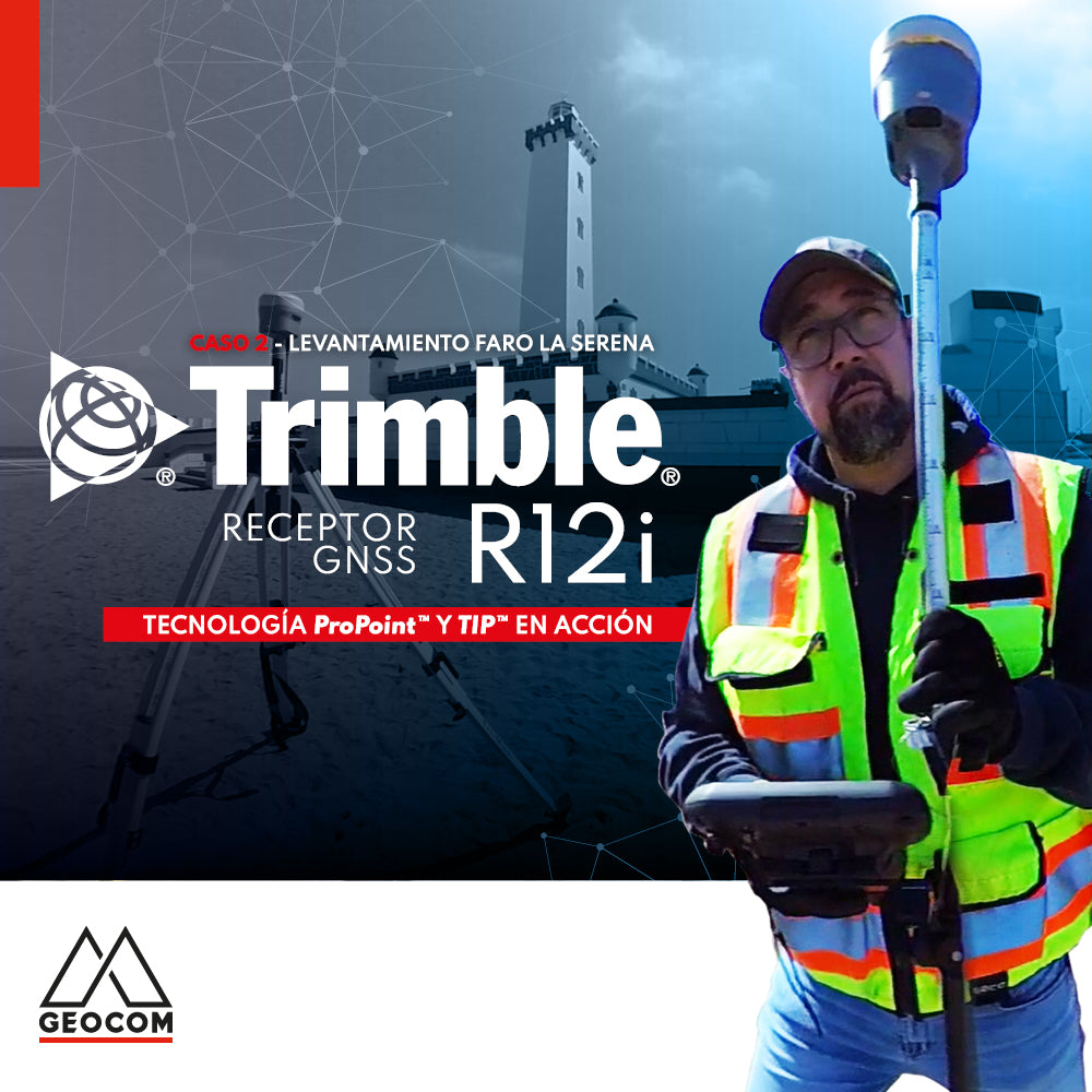
Case 2 Trimble R12i | La Serena Lighthouse Survey
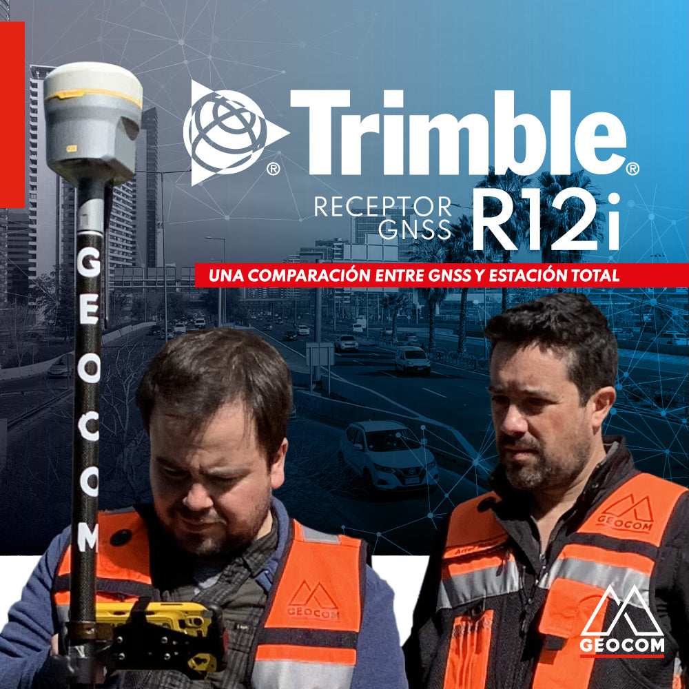
A comparison between GNSS and Total Station

Is it necessary to configure map projections for total stations?
It is strictly necessary to configure a map projection when working with a total station, and even more so when combined with determinations made with GNSS. This applies to any map projection, even those that minimize the effect of the combined scale factor on projected distances.
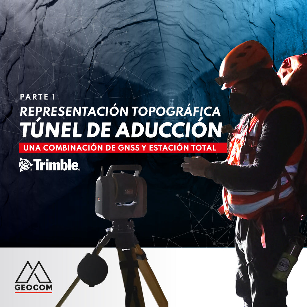
Topographic representation of the adduction tunnel | Part 1
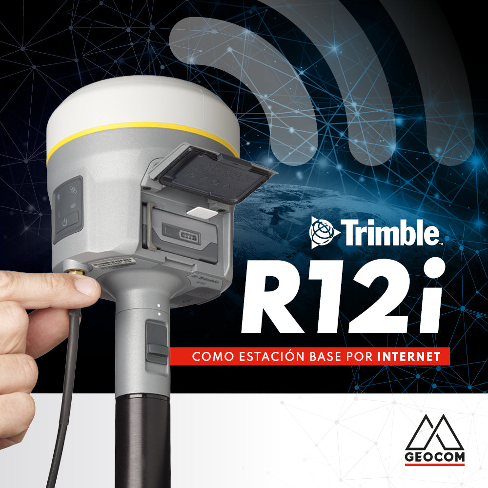
Trimble R12i as an internet base station
Why not consider a roving GNSS base that can broadcast differential corrections over the internet? This is precisely what Trimble R12i achieves.
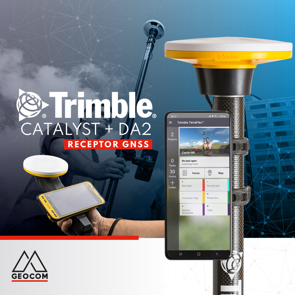
Trimble Catalyst + Trimble DA2
Trimble Catalyst and the Trimble DA2 GNSS receiver are here to stay, offering a GNSS positioning solution as a service for mobile applications on Android and iOS platforms.
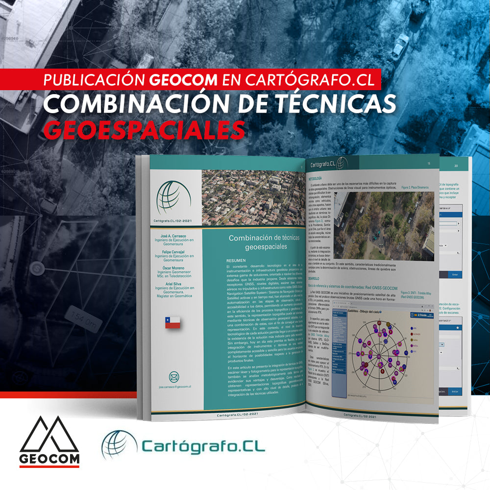
Combination of Geospatial Techniques | Cartógrafo.cl Publication
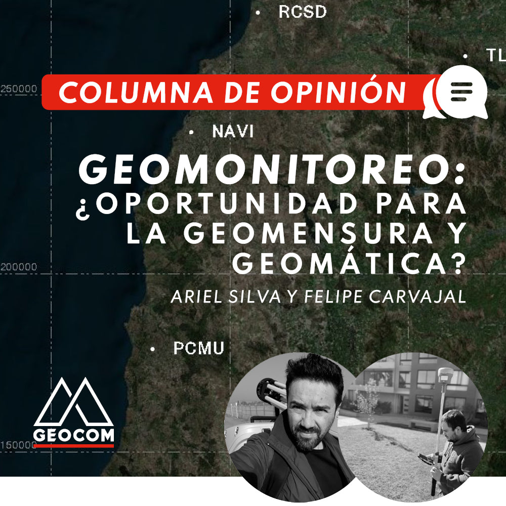
OPINION COLUMN | Geomonitoring: An Opportunity for Geomatics and Geodesy?