

Ciclo TBCdatumDensificación GeodésicaGNSSGNSS TrimbleIGMRED GNSS GEOCOMRTKRTXSIRGASTBCTrimble Business CenterTrimble RTXTrimble RTX satelital
![Densificación geodésica a partir de datos GNSS [02 CICLO TBC]](http://www.geocom.cl/cdn/shop/articles/post_ig_ciclo_TBC2.jpg?v=1746715775&width=1080)
Geodetic densification from GNSS data [02 TBC CYCLE]
PUBLICATION 02 | TBC CYCLE | GEOCOM Engineering
In this example, some observation and calculation strategies for densifying SIRGAS-Chile will be reviewed using GNSS observations in a context associated with a topographic representation.
Curso GEOCOMCurso TBCCurso Trimble Business CenterCursosCursos GEOCOMgeodesiaGNSSGNSS TrimbleINACAPLa SerenaREDGEOMINRTXSIRGASTBCTrimble
![[LA SERENA] Curso Presencial | PROCESAMIENTO DE DATOS GNSS Y GEODESIA 4D](http://www.geocom.cl/cdn/shop/articles/POST_Curso_GNSS_y_Geodesia_4D_-_INACAP_La_Serena_84d74ddd-aad2-4f34-aa21-5e1b3b4e40a6.jpg?v=1737490321&width=1080)
[LA SERENA] In-Person Course | GNSS DATA PROCESSING AND 4D GEODESY
MARCH 5 and 6 | 09:00 AM TO 06:00 PM | INACAP LA SERENA AUDITORIUM
This course will review theoretical and practical concepts through the use of Trimble RTX and Trimble Access in engineering and geomatics applications.
GNSSGNSS TrimbleRED GNSS GEOCOMSIRGASTrimbleTrimble AccessTrimble DA2Trimble R12iTrimble RTXTrimble RTX satelital

RTX: Over a decade of precise point positioning
RTX is defined as a GNSS correction service that allows users to obtain geodetic positions in real time through corrections via satellite communication or the internet.
GNSSGNSS TrimbleReceptor GNSSRED GNSS GEOCOMSIRGASTrimbleTrimble AccessTrimble Business CenterTrimble RTXTrimble RTX satelital
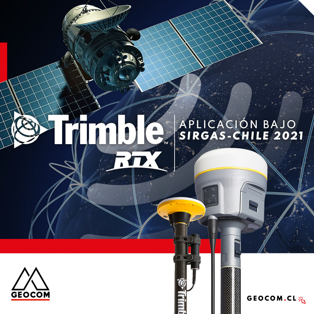
Trimble RTX application under SIRGAS-Chile 2021
The definition of SIRGAS-Chile 2021 is incorporated into the coordinate system libraries present in Trimble's controllers and office software.