

![[Santiago 📍 Workshop] Procesamiento y ajuste de datos GNSS](http://www.geocom.cl/cdn/shop/articles/post_ig_WORKSHOP_Procesamiento_de_datos_GNSS_c8d3d72e-5d9e-40b8-b192-5dbe55e82871.jpg?v=1753371969&width=1080)
[Santiago 📍 Workshop] GNSS Data Processing and Adjustment
THURSDAY, AUGUST 21 | 09:00 AM TO 01:30 PM | GEOCOM STUDIES CENTER
In this workshop, we will present different examples developed with TBC (Trimble Business Center) tools to optimize the GNSS network design, processing, adjustment, and deliverables process.
![[SANTIAGO 📍 WORKSHOP] Determinación de volumen con TBC](http://www.geocom.cl/cdn/shop/articles/post_ig_WORKSHOP_determinacion_volumen_tbc.jpg?v=1750965046&width=1080)
[SANTIAGO 📍 WORKSHOP] Volume determination with TBC
THU, JUL 17 | 09:00 A 13:30 | GEOCOM
TBC offers different possibilities for this type of determination. Whether under the umbrella of surveys carried out with GNSS and/or total station or through point cloud management, TBC allows for volume determination in a variety of scenarios, providing a powerful solution for the AECO segment.
![Representación topográfica a partir de fotogrametría aérea [04 CICLO TBC]](http://www.geocom.cl/cdn/shop/articles/post_ig_ciclo_TBC4.jpg?v=1749581294&width=1080)
Topographic Representation from Aerial Photogrammetry [04 TBC CYCLE]
POST 04 | TBC CYCLE | GEOCOM Engineering
Trimble Business Center offers a number of advantages when it comes to managing the calculation of data from geometric leveling, total stations, GNSS, laser scanners, drones (photographs and LiDAR) and point clouds.
![Representación topográfica a partir de GNSS-RTK [03 CICLO TBC]](http://www.geocom.cl/cdn/shop/articles/post_ig_ciclo_TBC3.jpg?v=1748445020&width=1080)
Topographic Representation using GNSS-RTK [03 TBC CYCLE]
PUBLICATION 03 | TBC CYCLE | GEOCOM Engineering
The integration between Trimble Access, feature libraries, and Trimble Business Center allows for the creation of professional-quality graphic products, significantly reducing processing times and minimizing errors in terrain representation.
![Densificación geodésica a partir de datos GNSS [02 CICLO TBC]](http://www.geocom.cl/cdn/shop/articles/post_ig_ciclo_TBC2.jpg?v=1746715775&width=1080)
Geodetic densification from GNSS data [02 TBC CYCLE]
PUBLICATION 02 | TBC CYCLE | GEOCOM Engineering
In this example, some observation and calculation strategies for densifying SIRGAS-Chile will be reviewed using GNSS observations in a context associated with a topographic representation.
![Representación topográfica en TBC [01 CICLO TBC]](http://www.geocom.cl/cdn/shop/articles/post_ig_ciclo_TBC1_47d4cfed-4ef8-4b97-9369-3526de5313c6.jpg?v=1746040063&width=1080)
Topographic Representation in TBC [01 TBC CYCLE]
PUBLICATION 01 | TBC CYCLE | GEOCOM Engineering
TBC allows for a convenient combination of geospatial observation techniques with the goal of delivering results obtained under a single platform, optimizing the office workflow.
![[Santiago] Workshop | GNSS/TBC Procesamiento y ajuste de datos](http://www.geocom.cl/cdn/shop/articles/post_ig_WORKSHOP_Procesamiento_de_datos_GNSS.jpg?v=1745510758&width=1080)
Workshop | GNSS/TBC Data Processing and Adjustment
TUESDAY, MAY 13 | 09:00 TO 16:30 | GEOCOM STUDY CENTER
In this workshop, we will present different examples developed with TBC (Trimble Business Center) tools to optimize the GNSS network design, processing, adjustment, and deliverable process.
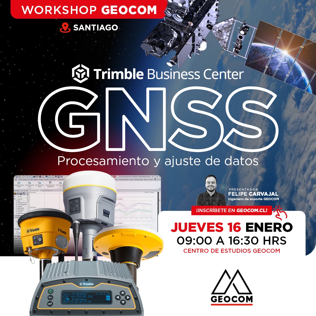
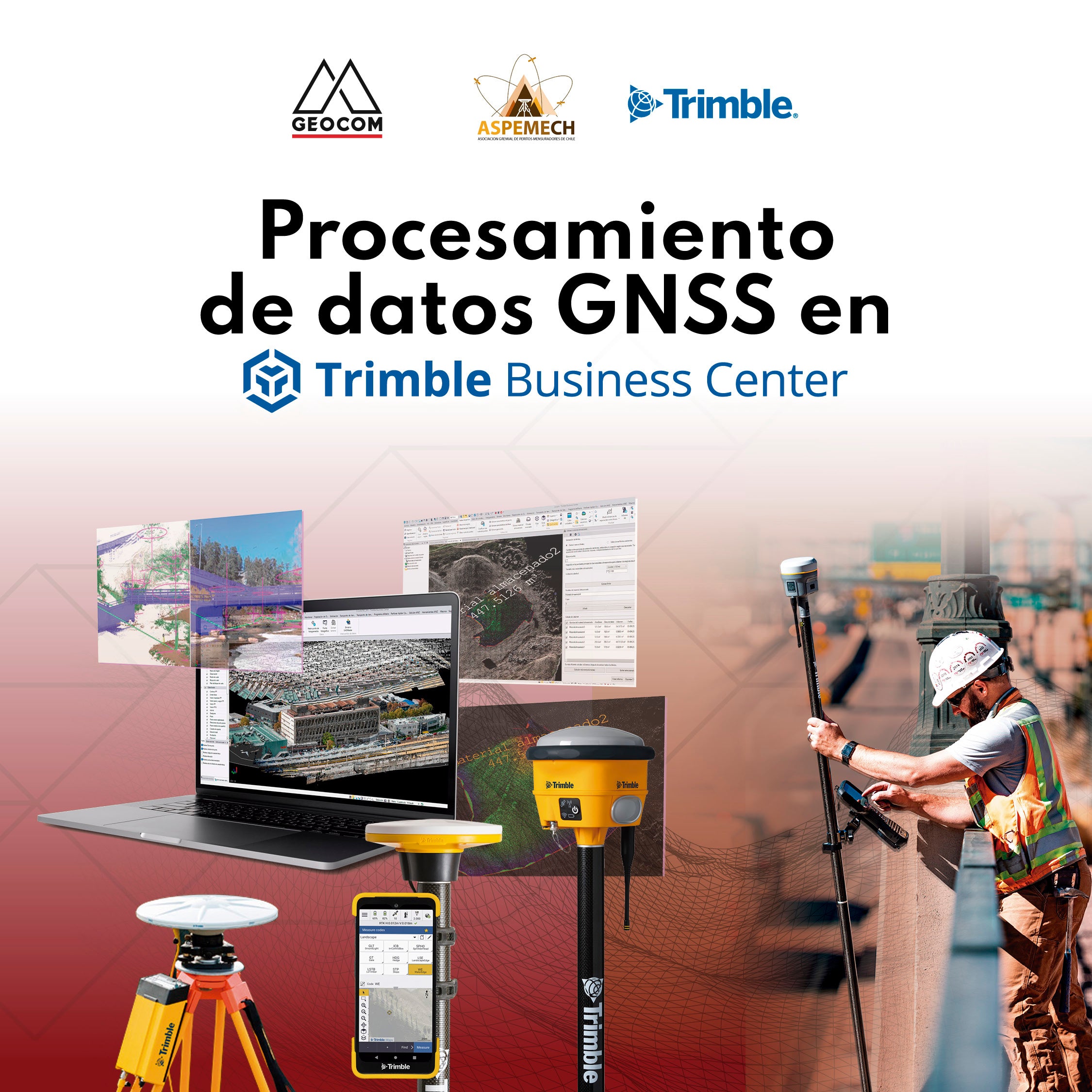
Santiago Workshop | GNSS Data Processing and Adjustment in TBC
THURSDAY, JANUARY 16 | 09:00 AM TO 04:30 PM | GEOCOM STUDY CENTER
In this workshop, we will present different examples developed with TBC (Trimble Business Center) tools to optimize the process of GNSS network design, processing, adjustment, and deliverables.
GEOCOM welcomes ASPEMECH for GNSS and 4D Geodesy training
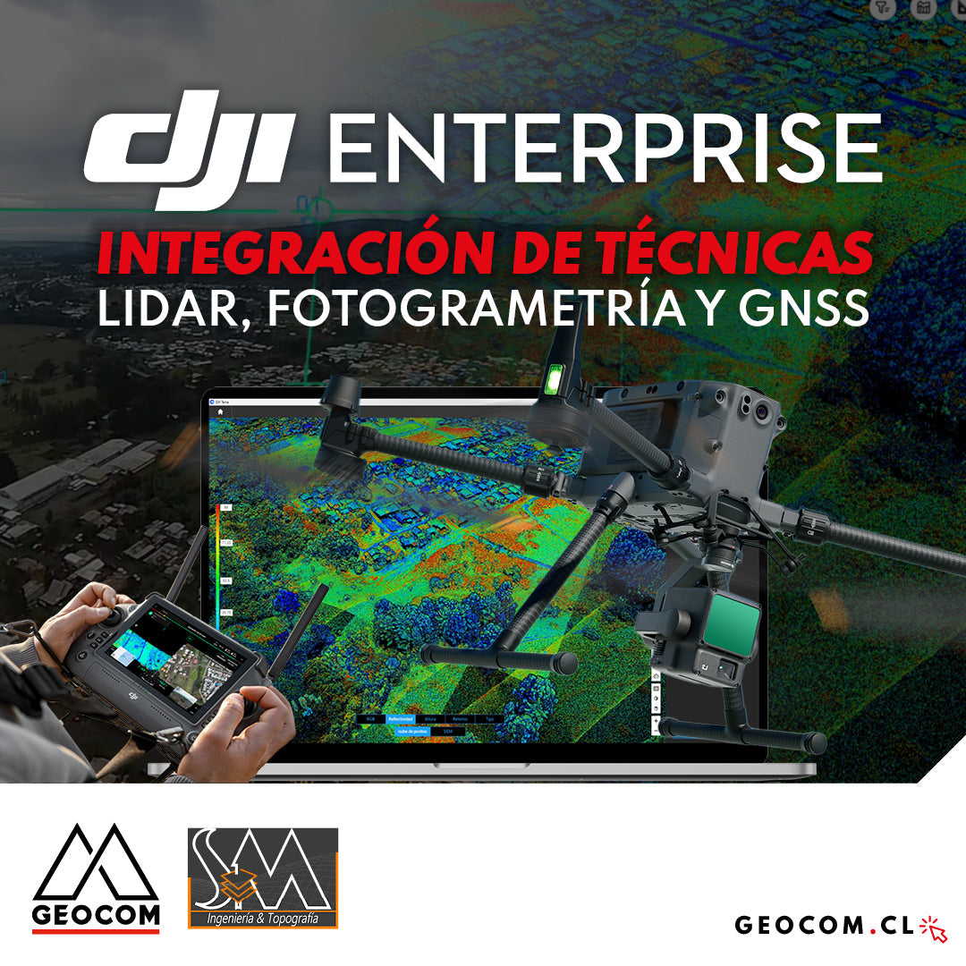
DJI Drones | Integration of LiDAR, Photogrammetry, and GNSS Techniques
Success story, where a project was executed integrating different geospatial capture techniques, using a DJI M350 drone with two sensors: Zenmuse P1 for photogrammetry and Zenmuse L2 for LiDAR. In this article, we will review the key points that made the use of both sensors necessary to provide a more representative and accurate capture of the area.
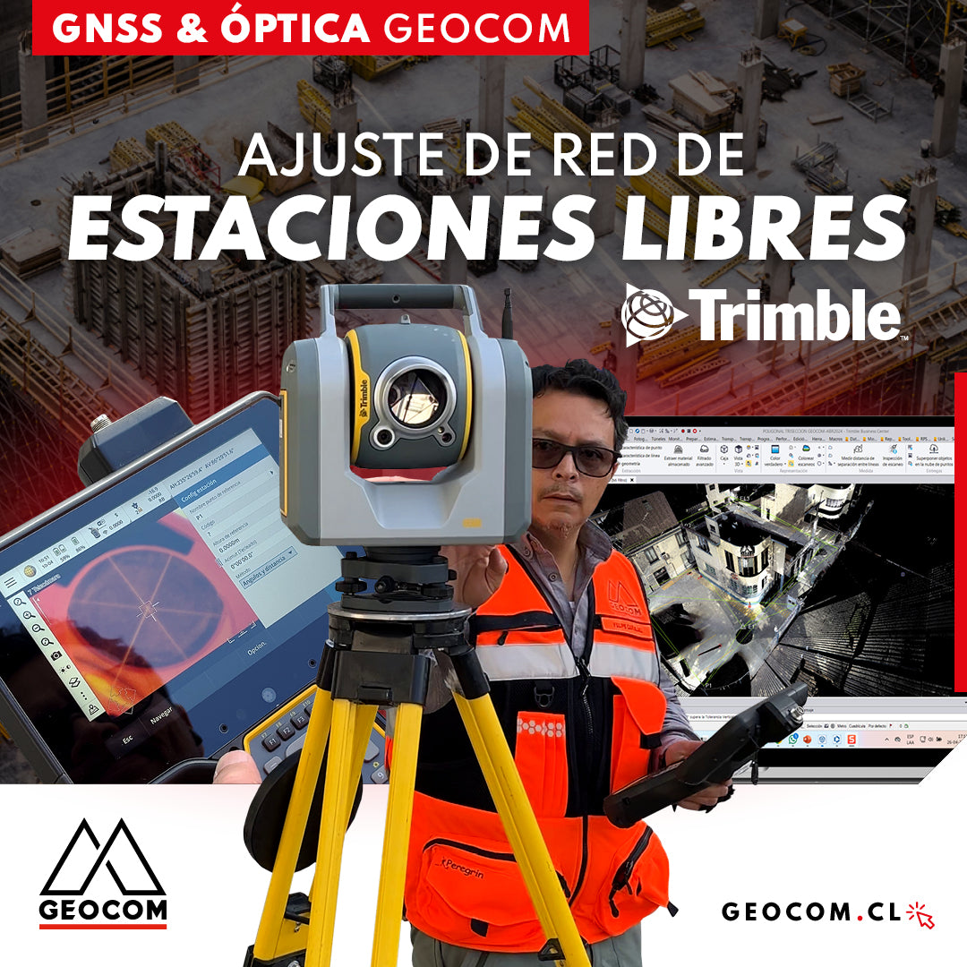
Free Station Network Adjustment
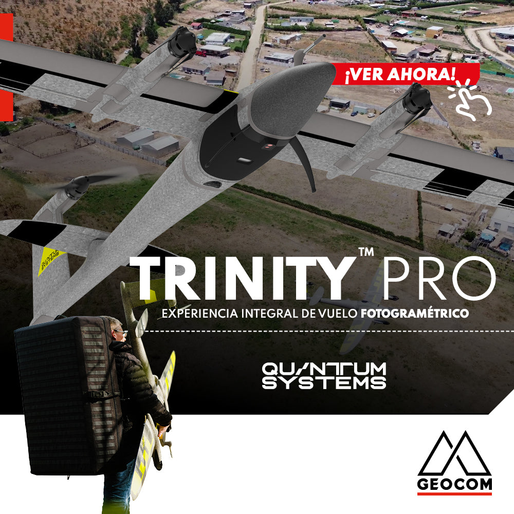
Quantum Systems Trinity Pro | Comprehensive Photogrammetric Flight Experience
In our recent mission, we completed a comprehensive photogrammetric flight experience, using cutting-edge technology to deliver high-precision, high-quality results. Here is an overview of our process ↓
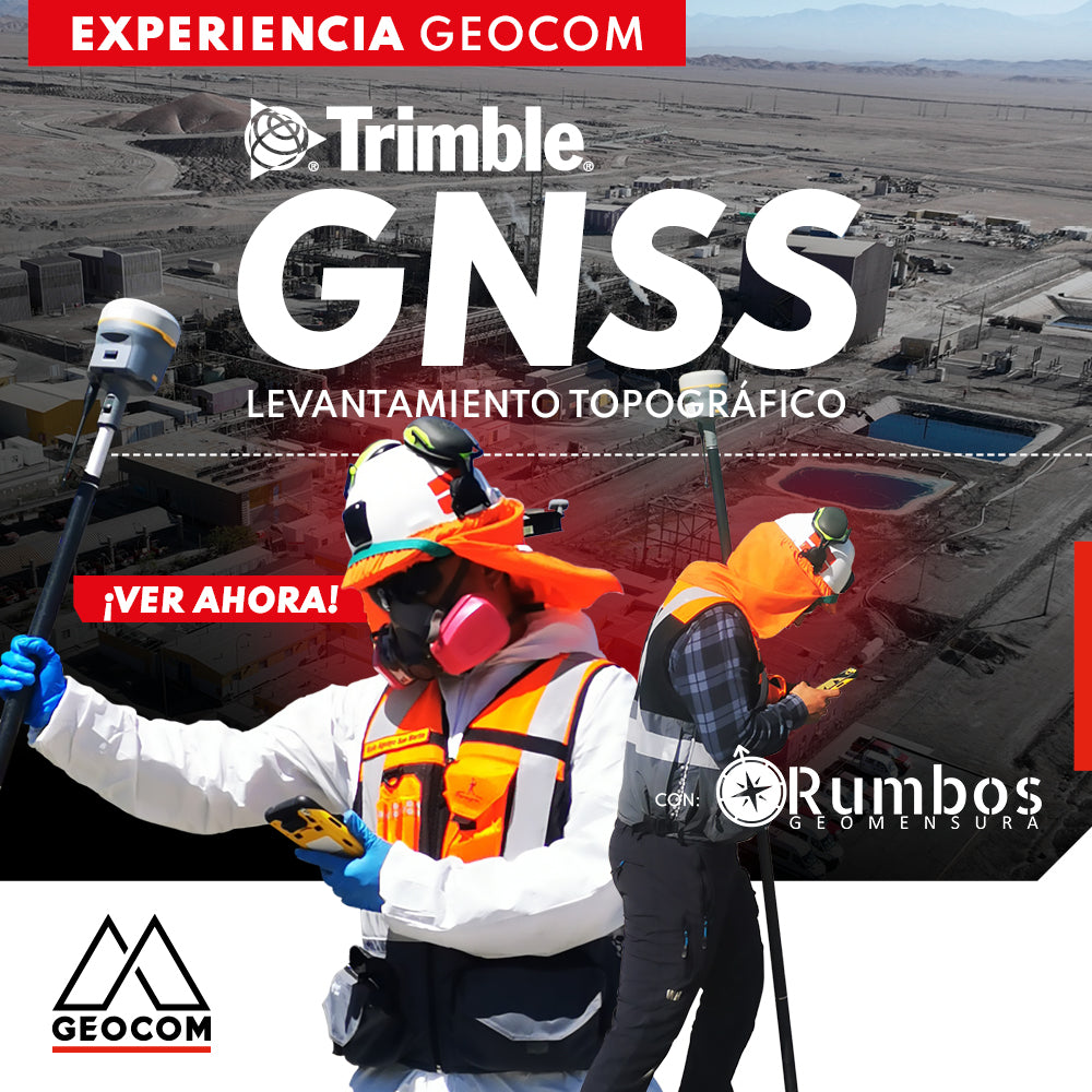
Trimble GNSS | Mine Plant Survey
GNSS in its RTK mode has become a standard for conducting topographic surveys due to its high productivity and ease of observation. Furthermore, by adding automatic drawing tools, the use of GNSS is tremendously beneficial.

Trimble Business Center: Geometric Leveling
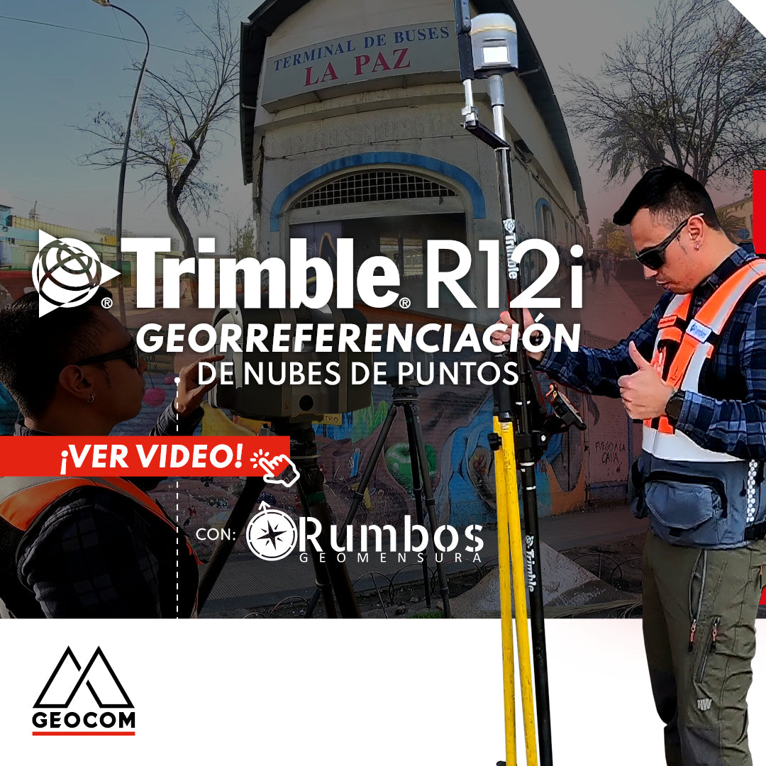
Point Cloud Georeferencing | Trimble R12i