

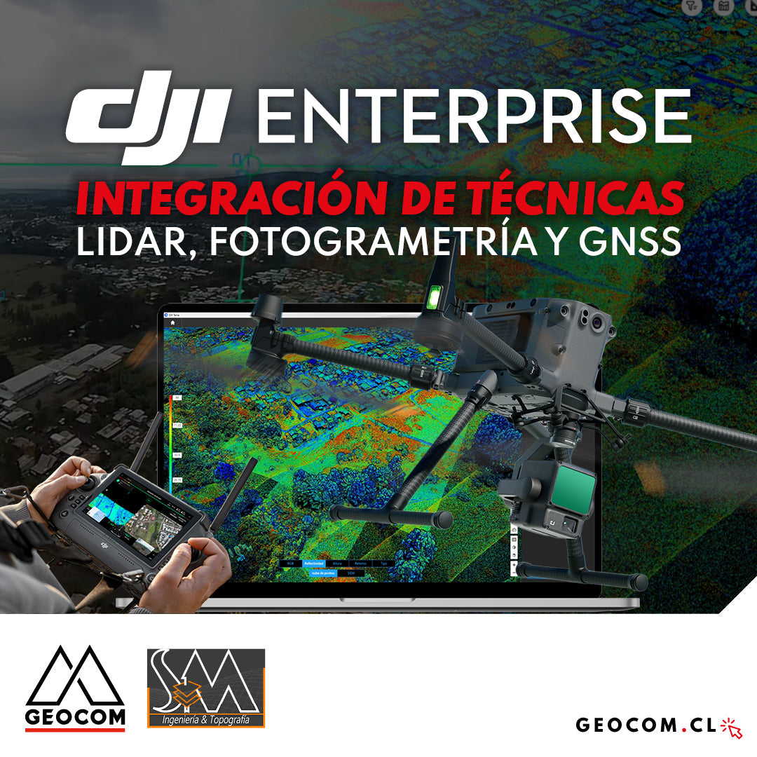

DJI DRONES | Integration of LiDAR, photogrammetry, and GNSS techniques
Experience by SM Topografías
Currently, multi-sensor drones are highly sought after in the geospatial industry, as they allow working with different techniques depending on the type of project being undertaken, guaranteeing not only productivity but also the delivery of representative and high-quality products. In this regard, the DJI Matrice 350 drone offers great versatility, with a flight time of 55 minutes and a payload capacity of 2.7 kg, which allows it to work with various types of sensors: RGB cameras for photogrammetry and inspection, LiDAR sensors, magnetometers, echo sounders, among others.
The following UAS article presents a success story where a project was executed integrating different geospatial data capture techniques, using a DJI M350 drone with two sensors: Zenmuse P1 for photogrammetry and Zenmuse L2 for LiDAR. In this article, we will review the key points that made it necessary to use both sensors to provide a more representative and accurate capture of the area.

Figure 1. DJI Matrice 350 RTK with Zenmuse L2 LiDAR
LiDAR vs. Photogrammetry
Both techniques are complementary and work differently, so they have distinct applications, advantages, and limitations. Therefore, before executing a project, it is essential to know the characteristics of the survey area so that the most suitable sensor can be chosen depending on the needs of the project and the elements that make up the area of influence.
Arising from the above, the following question will always come up: When should we fly our M350 with the LiDAR L2 sensor and when with the P1 camera for photogrammetry? In what case is it justified to use both? Let's start by defining each of these techniques:
- Photogrammetry: It is considered an indirect measurement, where we will obtain a reconstruction through a series of photographs captured from different angles and with high overlap. The RGB photographic camera used, being a passive sensor, will always depend on the visible light existing in the environment; therefore, good illumination should always be sought. As main photogrammetric products, we will obtain a point cloud and an orthophoto. When working with photographs, the photogrammetric processing software will reconstruct what is visible in them, which can generate a point cloud that is not very representative of the terrain in areas with dense vegetation. Some typical applications: Earthwork calculations, generation of orthophotos and textured surfaces, infrastructure inspection, among others.

Figure 2. Photogrammetric aerotriangulation
- LiDAR: Acronym for Light Detection and Ranging, it is a type of direct measurement that uses a light beam to measure distances and thus obtain a highly representative point cloud. Being an active sensor, the LiDAR sensor can work correctly both day and night, with no limitations regarding the time of capture. One of the great advantages of working with this technique is that, by having the capacity for multiple returns, it can penetrate dense vegetation and capture hidden terrain, thus providing a more accurate measurement of it. Some applications: Forestry and vegetation studies, linear surveys, natural hazard analysis, among others.

Figure 3. LiDAR capture and its multiple return capability
If you want to delve deeper into this topic, review the following article generated where we compare the behavior of photogrammetric and LiDAR techniques in forested areas: https://www.geocom.cl/blogs/news/una-comparacion-entre-phantom-4-rtk-y-zenmuse-l1-en-zonas-boscosas
Project Execution
This experience was carried out by our client SM Topografías. This company, founded in 2019, has consolidated its presence as a leader in topography and geomatics services in southern Chile. Located in Temuco, it has a team of professionals with extensive experience that allows them to offer precise and efficient solutions for various projects. In 2020, SM Topografías took a step forward in innovation by integrating DJI drone technology. This integration of technology allowed them to deliver more complete and detailed work to their clients, in addition to greatly optimizing fieldwork.

Figure 4. M350 field setup
The project they had to execute on this occasion required a study for the design of a sewage collection system, a public network that would cover the demand of the project's area of influence in a sector of irregular subdivisions in the city of Temuco, also considering future population growth. To comply with the above and based on the characteristics of the survey area, which contained dense vegetation, the following techniques were used:
- Photogrammetry with DJI M350 drone and Zenmuse P1: The P1 camera, with a full-frame sensor and 45 MP resolution, allows for very good photographic capture resolution (1.27 cm/px at 100 m altitude), which will result in a high-resolution orthophoto. With this input, the entire site could be digitized. Given the condition of irregular subdivisions where constructions are very close to each other, the use of a drone was key in those areas that were impossible to access on foot, thus increasing productivity in the field.
- LiDAR with Matrice 350 drone and Zenmuse L2: The area of influence covers the villages under study plus the adjacent properties, where a detailed survey is required to understand the terrain morphology and thus evaluate possible collector evacuation solutions to be designed. Due to the abundant existing vegetation in the area (which also includes a stream and a protected wetland where terrestrial data cannot be accessed), the use of LiDAR was key to obtaining a representation of the terrain in those areas with abundant vegetation. In this sense, the L2 sensor offers greater penetration in these complex areas by supporting up to 5 returns and having an effective capture rate of 240,000 p/s, which allowed for a more detailed point cloud compared to that obtained by photogrammetry.
- Survey with GNSS: The use of GNSS for this project was extremely important, as it allowed for a detailed topographic survey, where road axes, signage, water meters, manhole rings, and FFL (finished floor level) of each house were surveyed. It is also important to consider that the use of GNSS is fundamental for creating the network of reference points and geodetic control for all products. Additionally, for the PPK post-processing of photogrammetric and LiDAR data, it is necessary to have a static survey performed with GNSS at the time of flying.

Figure 5. GNSS Survey
M350 Flight Planning and Execution
DJI Pilot 2 is the software used to control and manage DJI Enterprise line drones, including the Matrice 350 RTK and all its sensors. Its main features are its intuitive user interface and the wide range of capture strategies it offers depending on the drone and sensor used.
The area of interest for this project had an extension of 103 hectares, here are some factors considered in the planning of each sensor used:
- For photogrammetric capture, a flight was executed for 28 minutes to obtain a resolution of approximately 2.2 cm/px. The side overlap was set at 75% and the front overlap at 85% to ensure proper generation of the orthophoto for structures and the vegetated area.
- For LiDAR capture, a flight was executed for 26 minutes at an altitude of 120 m (thus ensuring compliance with the LiDAR's measurement range). The side overlap used was 30% following DJI's recommendations under these conditions.

Figure 6. M350 photogrammetric flight execution
The DJI Pilot 2 software allows real-time monitoring of each flight, thus increasing operational safety. In addition, when flying with the LiDAR sensor, the operator can review the captured data in real-time, which will allow them to know in situ if the data is being successfully recorded.


Figure 7. M350 LiDAR flight execution and real-time capture monitoring
Photogrammetric and LiDAR Data Processing
For the PPK trajectory processing and subsequent orthophoto generation via photogrammetry, TBC Aerial Photogrammetry was used. TBC stands out for its simplicity in processing captured data and for allowing the creation of a true orthophoto, which presents a more rigorous geometric correction, avoiding distortions on building roofs.


Figure 8. Photogrammetric processing in TBC Aerial Photogrammetry and true orthophoto generation
On the other hand, in DJI Terra software, the complete pose of the LiDAR sensor was processed to obtain the point cloud, also applying the respective terrain filtering to remove vegetation, thus obtaining a Digital Terrain Model (DTM) and contour lines.


Figure 9. LiDAR processing in DJI Terra and acquisition of highly densified point cloud
For the validation of the vertical accuracy of the point cloud obtained with the LiDAR, 70 check points uniformly distributed in the area of interest were used, which were measured with GNSS to guarantee the reliability of the final product obtained, which yielded a Root Mean Square Error of 7.8 cm, a value that aligns with the expected accuracy of the LiDAR.

Figure 10. Checking the vertical accuracy of the LiDAR point cloud
Delivery of Final Products
The final engineering design had to have the approval of the different services involved and specific requirements of each area, which is why the product to be delivered in the inputs of the topographic study must be very detailed. The data obtained through the integration of field techniques allowed generating:
- Planimetric maps at 1:500 scale, showing all existing elements and contour lines that illustrate the morphology of the studied terrain.
- Cross-sections of existing streets showing grades and official lines.
- Cross-sections of the stream and wetland area to understand the watershed.


Figure 11. Final products delivered
Conclusions
By combining different geospatial techniques, such as drone photogrammetry, LiDAR, and GNSS, we will facilitate the acquisition of more precise final products that offer a complete topographic representation. Currently, there is no single technique that replaces another, as each of these has benefits and limitations, with our ability to analyze and decide when the use of one technique or the integration of several is justified being key.
The results obtained in this project provide an interesting analysis of the versatility currently offered by drones, since, nowadays they are not only equipped with photographic cameras for photogrammetry, but also, having load capacity, allow mounting an endless number of sensors that can meet the needs of any industry. In this same sense, the DJI Matrice 350 RTK drone makes a difference by offering great benefits in terms of providing greater operational safety, robustness and reliability in operation, whether with the P1 camera, the L2 LiDAR or another.
Finally, regarding each of the techniques used in this project, it is important to highlight that:
- Drone photogrammetry, by working with aerial photographs, offers very detailed visual information, which allowed obtaining a high-resolution orthophoto, which facilitated the subsequent digitalization of the elements in the area of influence.
- For its part, LiDAR, by using laser pulses with the capacity to record multiple returns, favored the obtaining of a highly detailed point cloud, which managed to penetrate dense vegetation and thus capture the underlying terrain.
Finally, it is important to highlight the relevance of using GNSS as a key integration technique, not only for detailed topography in this specific project, but also in the fundamental role it plays in the geodetic adjustment of photogrammetric and LiDAR data.
Acknowledgments
GEOCOM thanks SM Topografías for sharing their experience and final products generated in this project carried out with DJI drones.

Compartir:
Trimble Forensics: X7 Laser Scanner
Trimble Forensics: Software Reveal