

DJIDji enterpriseDJI TerraDronDronesFotogrametríaGNSSLiDARMatrice 350 RTKNoticia UASNoticias UASNoticia_UAS_BLOGSoftware FotogramétricoTrimble Business CenterZenmuse L2Zenmuse P1
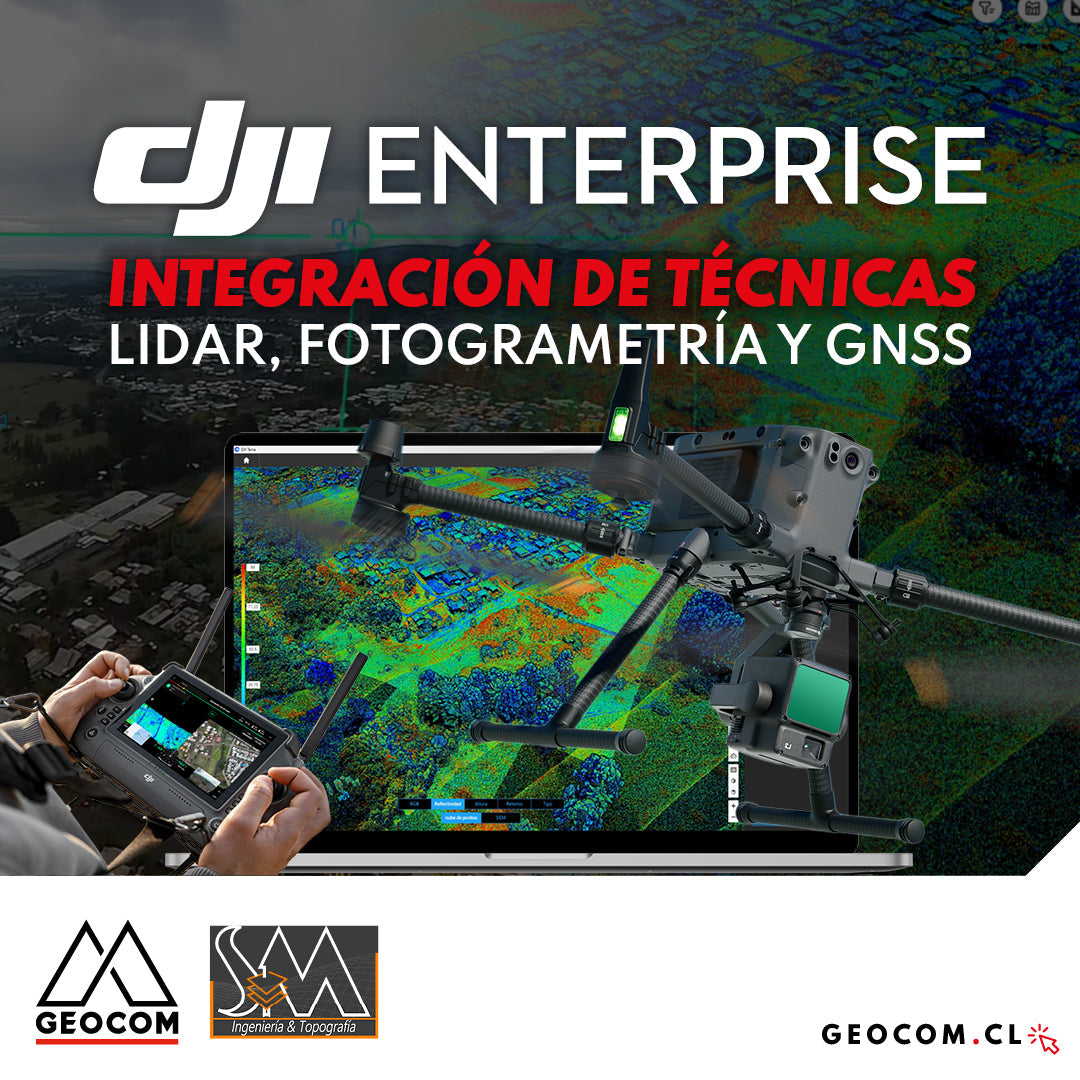
DJI Drones | Integration of LiDAR, Photogrammetry, and GNSS Techniques
Success story, where a project was executed integrating different geospatial capture techniques, using a DJI M350 drone with two sensors: Zenmuse P1 for photogrammetry and Zenmuse L2 for LiDAR. In this article, we will review the key points that made the use of both sensors necessary to provide a more representative and accurate capture of the area.
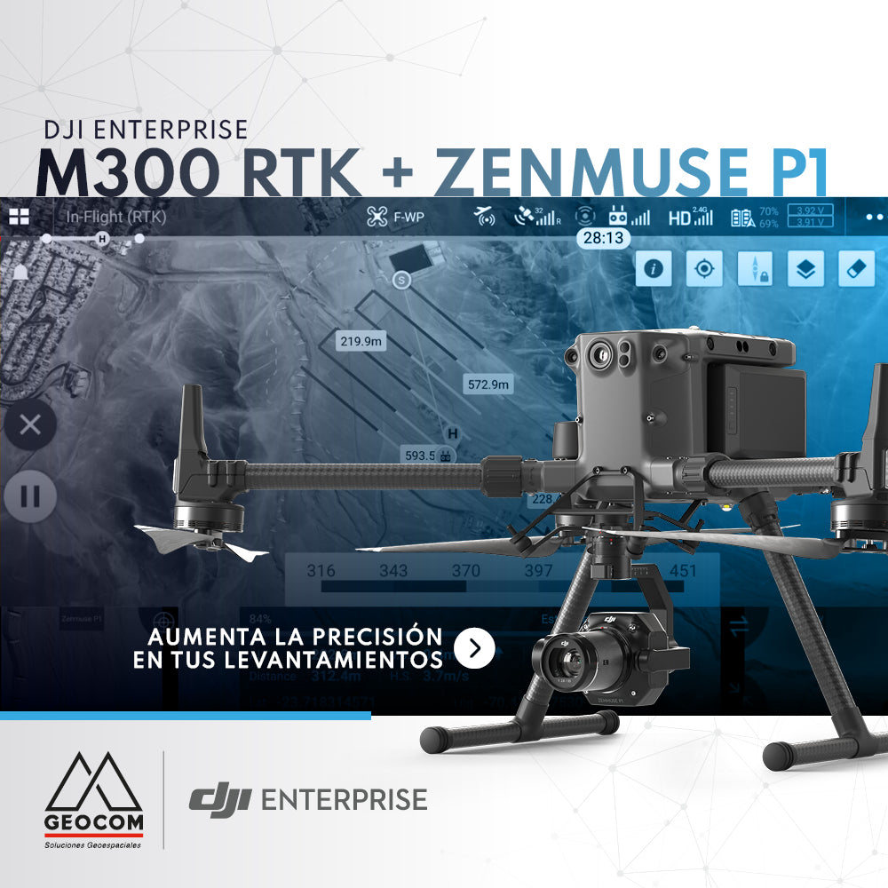
DJI M300 RTK + Zenmuse P1: Increase Accuracy in Your Surveys
The new M300 RTK + Zenmuse P1 geospatial solution allows us to survey areas with terrain following like never before.
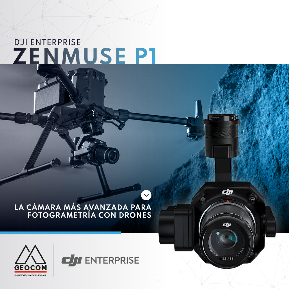
DJI Zenmuse P1, the most advanced drone photogrammetry camera
Due to its full-frame sensor and 45 MP resolution, the Zenmuse P1 is the camera that delivers the best results when performing a photogrammetric survey with commercial drones.