

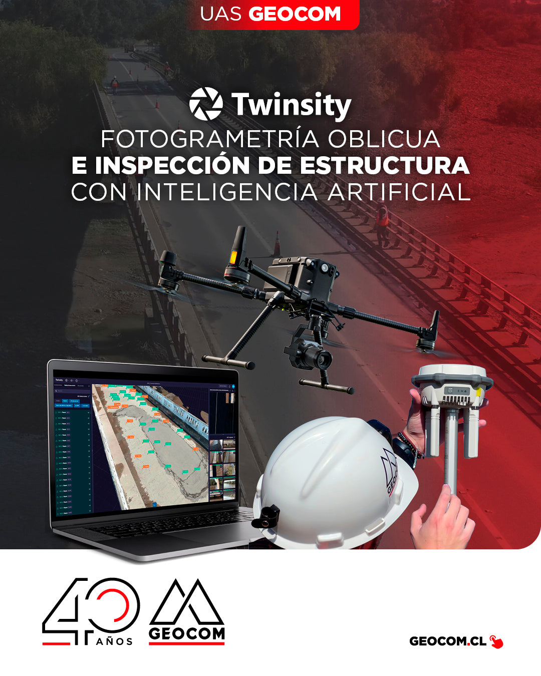
Oblique Photogrammetry and AI-powered Structure Inspection
Can you imagine inspecting a bridge with maximum precision and in less time? This is how we worked on the Naltahua bridge, where we combined the use of the Matrice 300 RTK with the Zenmuse P1 sensor, DJI Terra, and Twinspect's artificial intelligence.
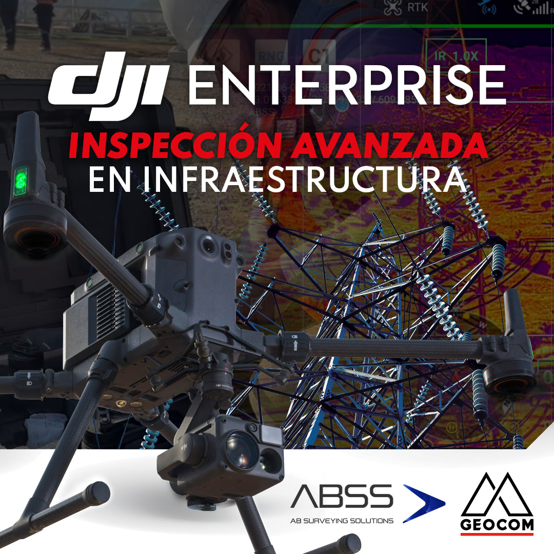
DJI Drones | Advanced infrastructure inspection
DJI drones have revolutionized inspections thanks to their advanced technology and versatility. These systems can be equipped with different types of high-resolution sensors (primarily RGB and thermal), which allow for capturing highly detailed photos and videos of various elements.
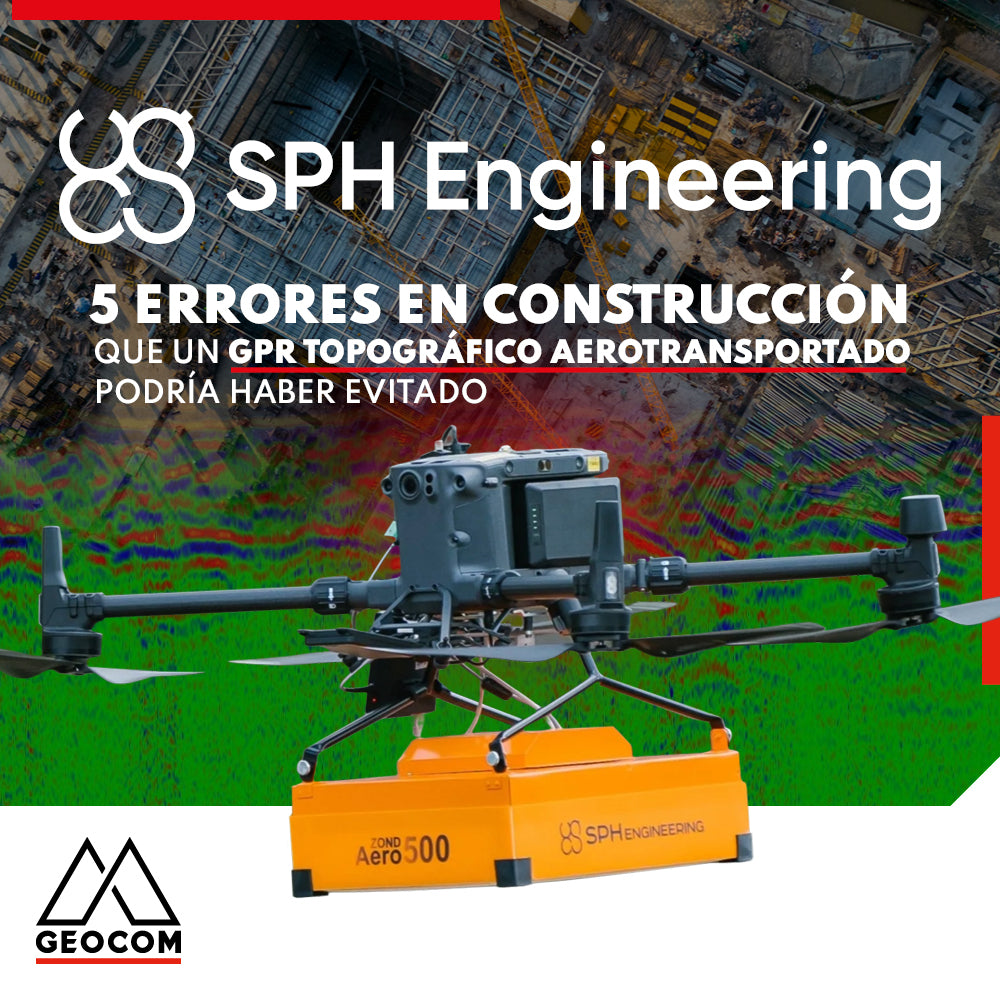
5 Construction Errors a Topographic Airborne GPR Could Have Prevented
Are you going to work on a large construction or excavation project? If so, you shouldn't forget an important step in this process: utility mapping. This involves identifying the exact location of all underground utility infrastructure, such as gas lines, water pipes, electrical lines, and communication lines, among others, to avoid accidentally damaging them in the process and prevent being responsible for a large and costly disaster.
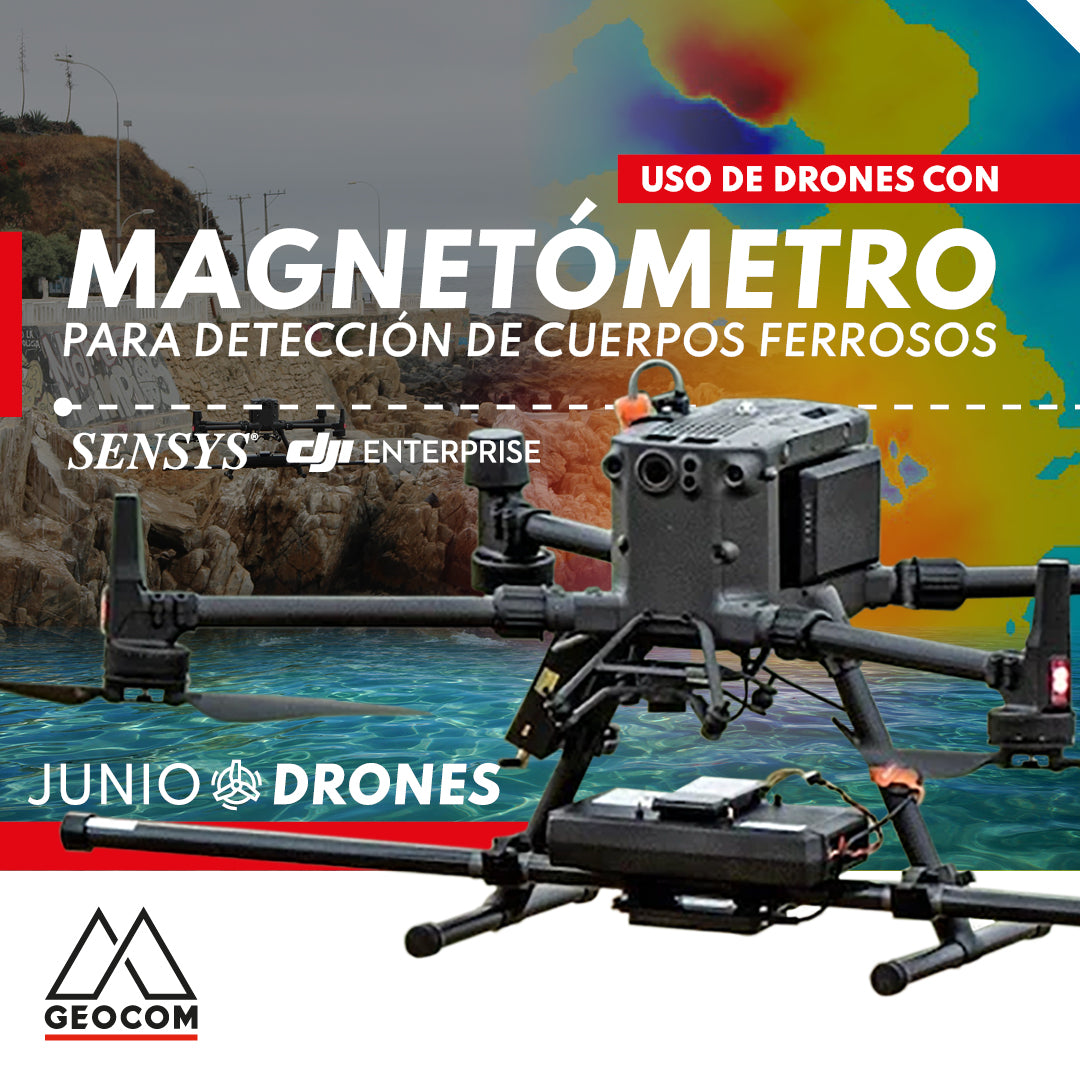
Use of drones with magnetometers for ferrous body detection
The integration of the magnetometer with the M300 is carried out by SPH Engineering, which includes a SENSYS magnetometer (R3 or R4 model depending on the number of sensors), a radar altimeter to measure precise height above different surfaces, an onboard computer called SkyHub, and the advanced planning software UgCS.

Oblique Photogrammetry with SHARE UAV PSDK 102S V3 Camera
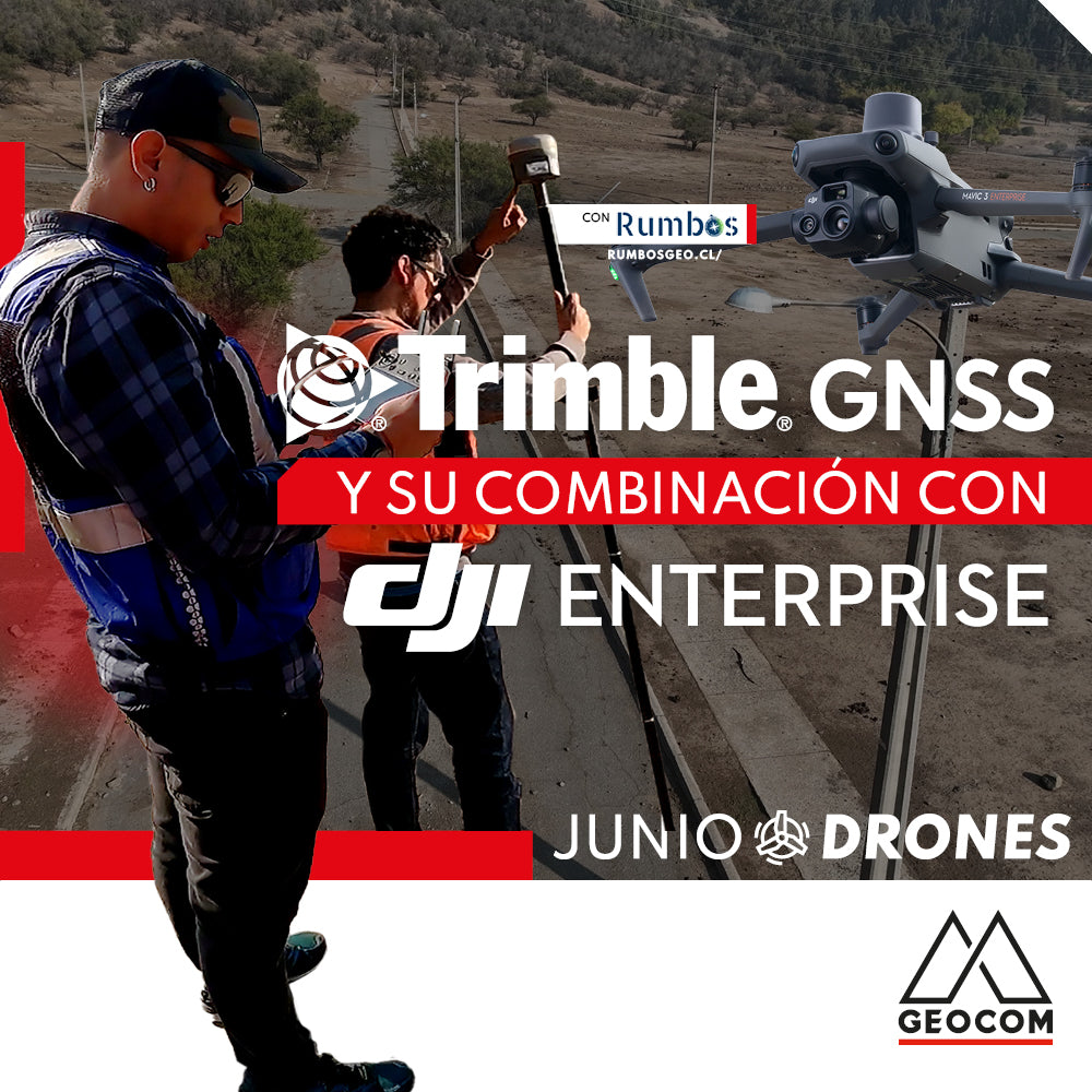
Trimble GNSS and its combination with DJI
The georeferencing of photogrammetric products is a key aspect for their use in different applications, allowing for the maintenance of a unique reference that enables robust and accurate multi-temporal analysis.
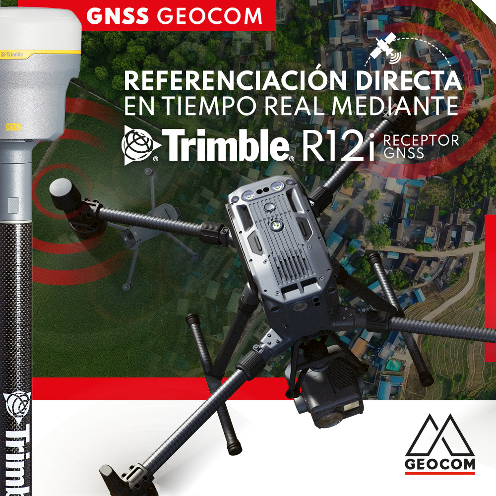
Real-time direct referencing with Trimble R12i
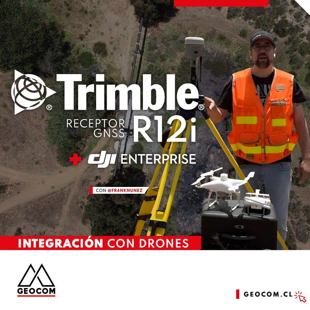
Case 5 Trimble R12i | Drone integration

The drone revolution in inspection tasks
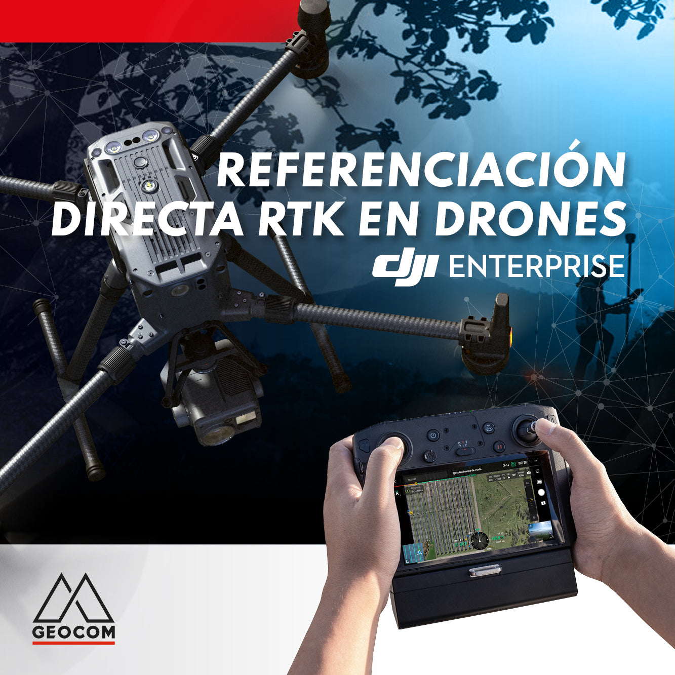
RTK DIRECT GEOTAGGING IN DRONES
A turning point occurred in 2015 with the arrival of the first drones with direct PPK georeferencing, which, through post-processing, allowed for obtaining precise coordinates of photographs without the need for ground control points and without sacrificing accuracy.
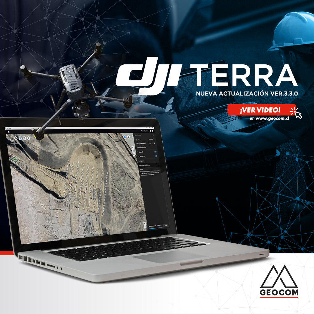
Learn about the new features in the latest version of DJI Terra 3.3.0

Using DJI Drones in the Solar Energy Revolution
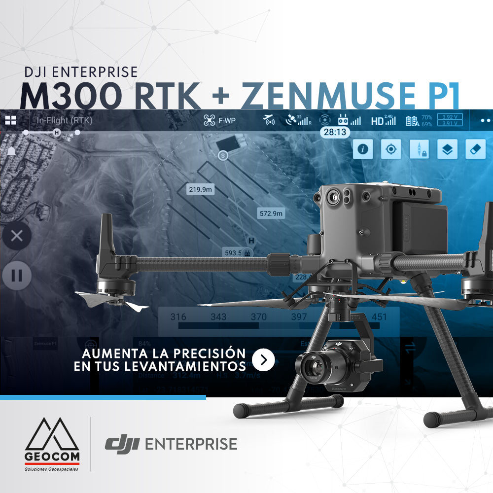
DJI M300 RTK + Zenmuse P1: Increase Accuracy in Your Surveys
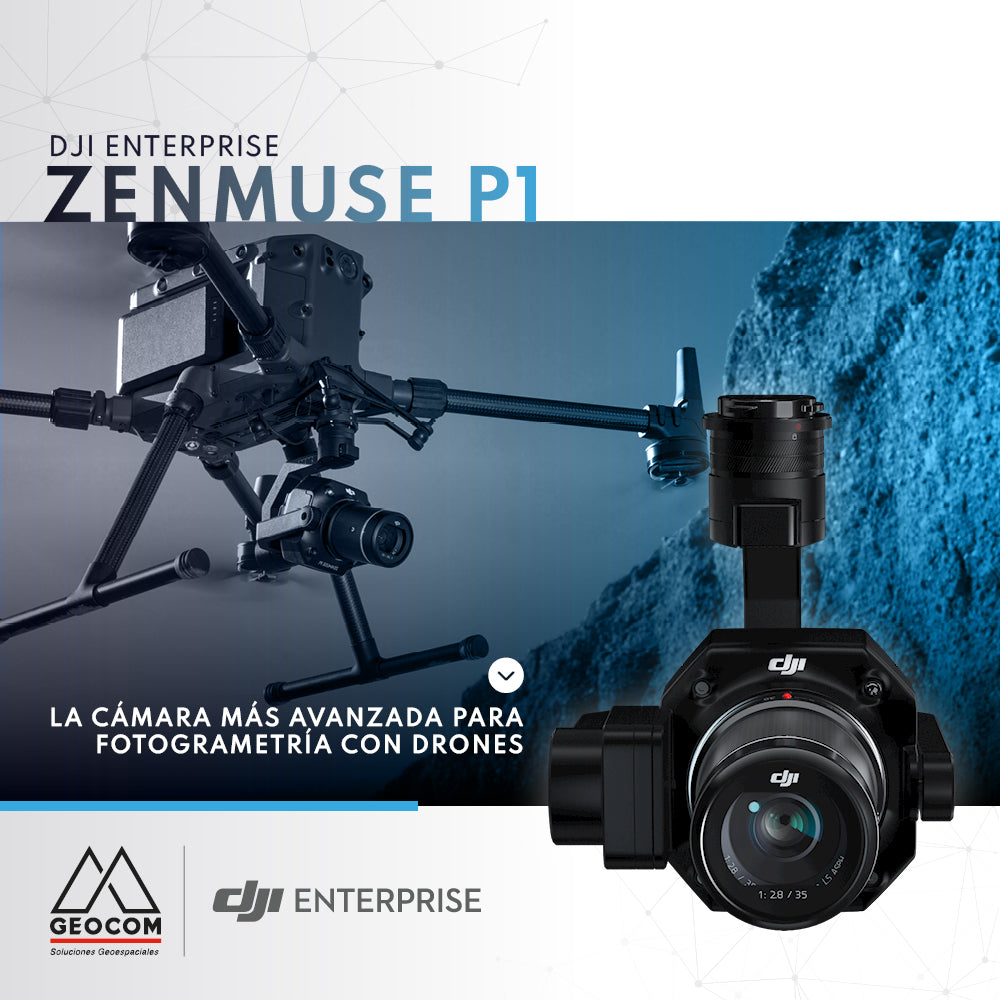
DJI Zenmuse P1, the most advanced drone photogrammetry camera