News

Drones DJI | Inspección avanzada en infraestructura

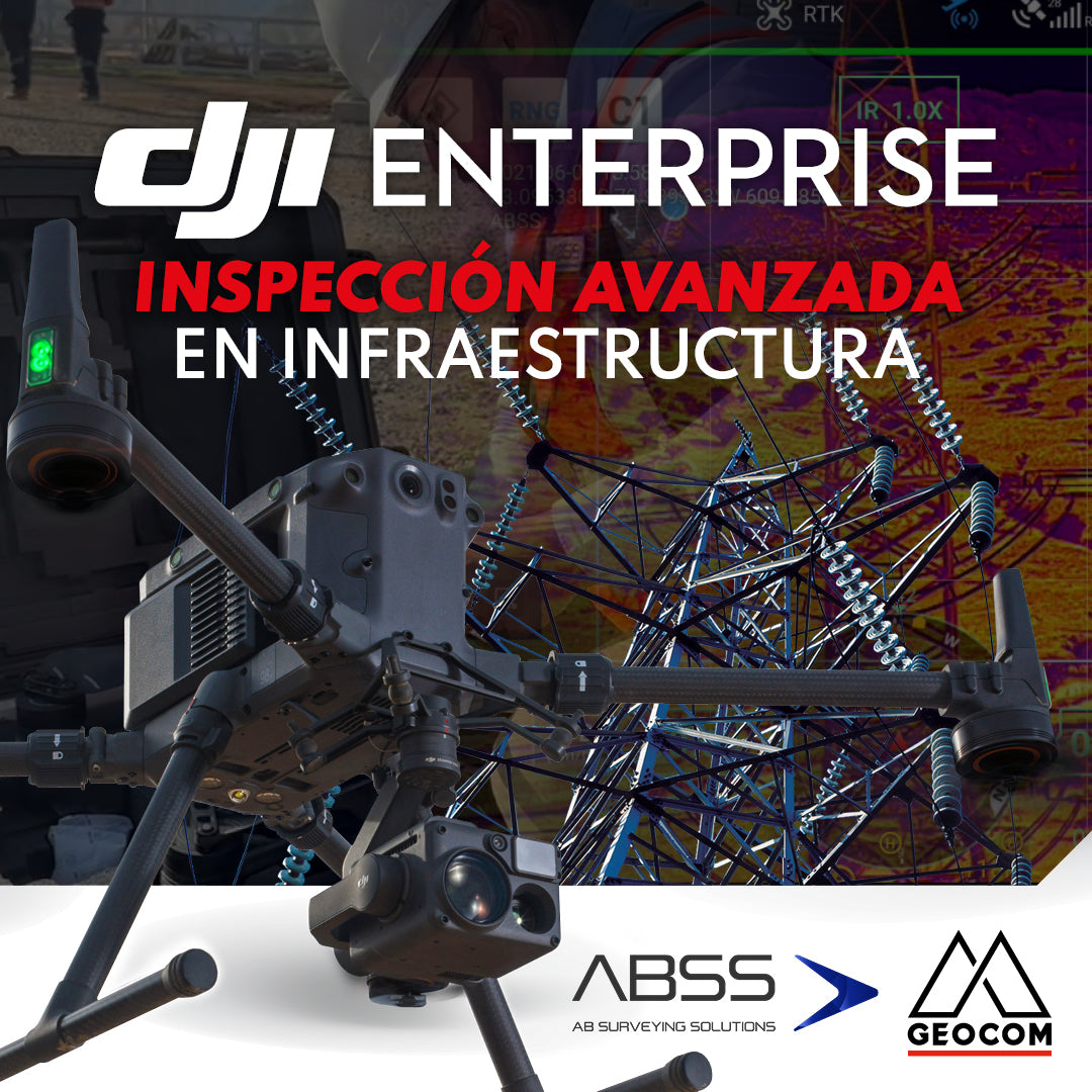
DJI Drones | Advanced infrastructure inspection

DJI drones have revolutionized inspections thanks to their advanced technology and versatility. These systems can be equipped with different types of high-resolution sensors (primarily RGB and thermal), which allow for capturing highly detailed photos and videos of various elements.

Read more

Nuevo modo de vuelo inteligente POI para DJI Mavic 3 Enterprise

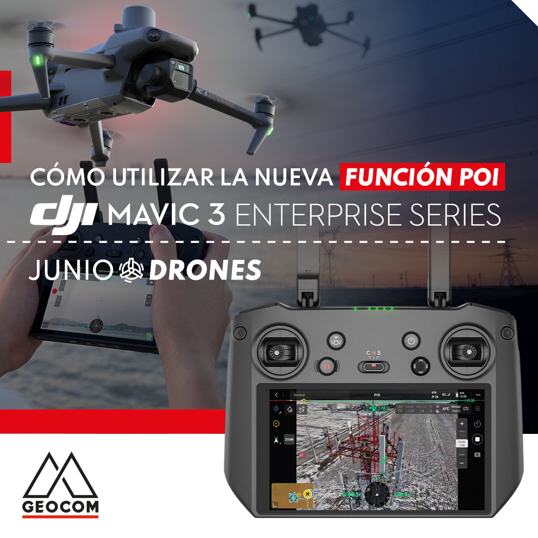
New POI intelligent flight mode for DJI Mavic 3 Enterprise

DJI recently launched the new intelligent flight mode, POI (Point of Interest), which allows the Mavic 3 Enterprise drone to quickly orbit a central point of interest, with the aim of collecting 360° view photographs of the target.

Read more

Trimble GNSS y su combinación con DJI

Trimble GNSS and its combination with DJI

The georeferencing of photogrammetric products is a key aspect for their use in different applications, allowing for the maintenance of a unique reference that enables robust and accurate multi-temporal analysis.

Read more

Referenciación directa en tiempo real mediante Trimble R12i

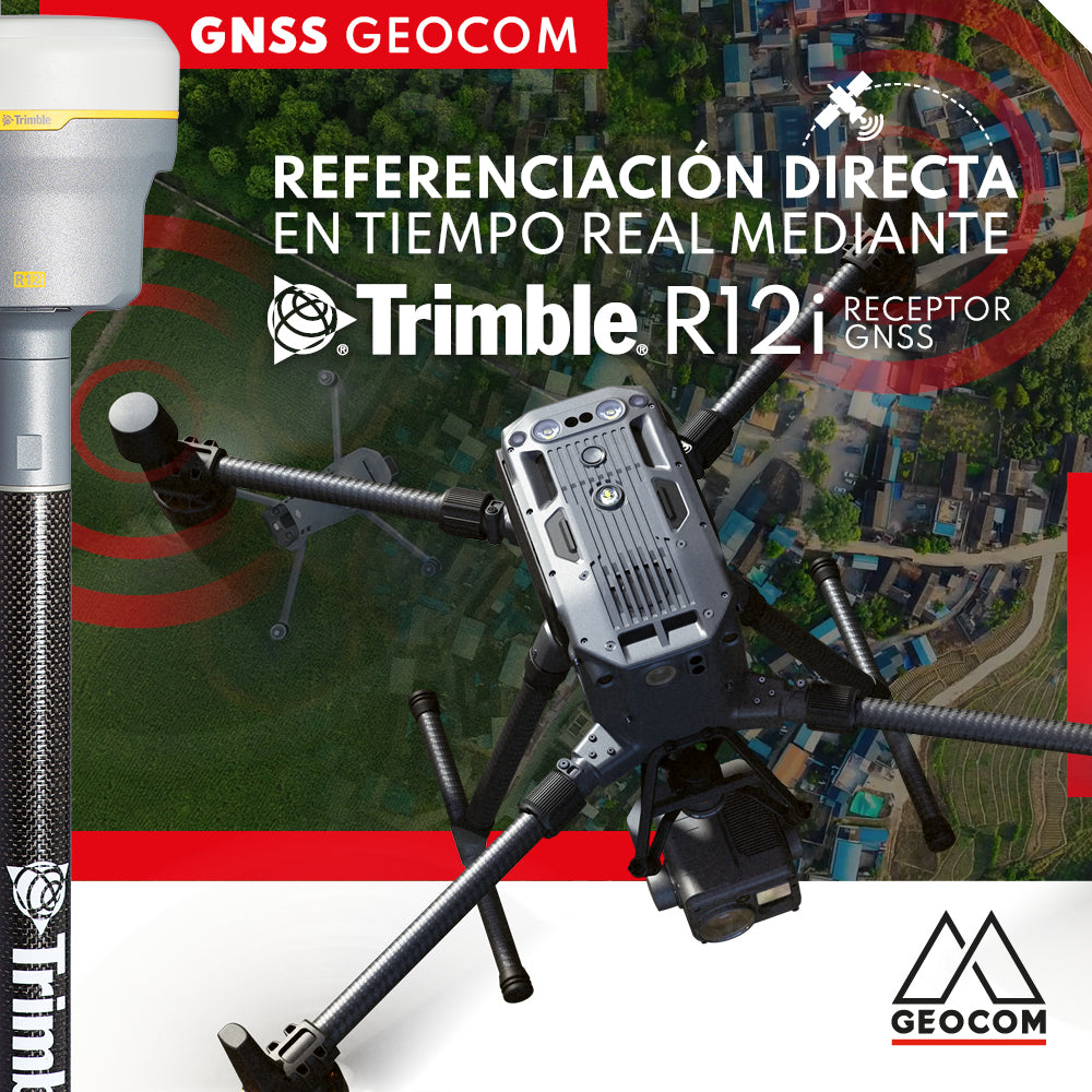
Real-time direct referencing with Trimble R12i

Currently, direct georeferencing can be approached using two methods based on GNSS positioning principles: PPK (Post Processed Kinematics) and RTK (Real Time Kinematic)

Read more

Caso 5 Trimble R12i | Integración con drones

Case 5 Trimble R12i | Drone integration

Trimble R12i GNSS receivers can not only be used as a base station for an RTK survey, but also have the particularity of transmitting differential corrections via the NTRIP protocol.

Read more