

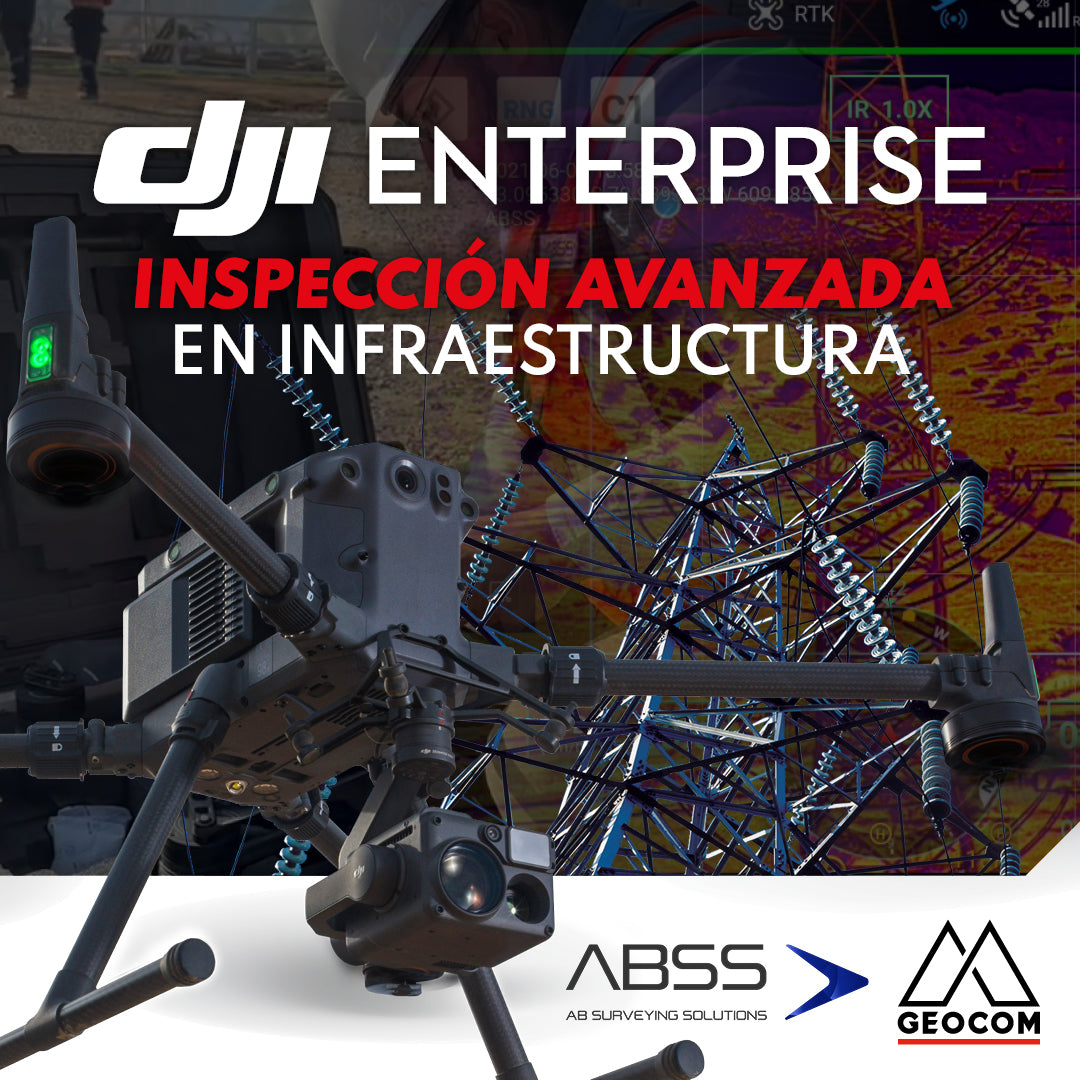

DJI DRONES | Advanced Infrastructure Inspection
Experience by AB Surveying Solutions
DJI drones have revolutionized inspection thanks to their advanced technology and versatility. These systems can be equipped with different types of high-resolution sensors (mainly RGB and thermal), which allow obtaining highly detailed photographs and videos of various elements.
In this regard, DJI's Enterprise drone portfolio is quite diverse. The entry-level drones for inspection are the Mavic 3 Enterprise Series (M3E and M3T), a multirotor that stands out for being small, portable, and easy to transport, weighing 1 kg. The M3E allows traditional RGB inspection, while the M3T offers both RGB and thermal inspection. The next step up is the Matrice 300/350 RTK drone, a powerful and versatile multirotor with a payload capacity of 2.7 kg, making it possible to mount different types of sensors (RGB cameras for photogrammetry and inspection, LiDAR sensors, magnetometers, echo sounders, among others). For the M300/350 RTK, the sensor developed for inspection tasks is the Zenmuse H20 Series hybrid camera (and its recent evolution, the Zenmuse H30 Series).

Figure 1. DJI Matrice 300 RTK with Zenmuse H20T
The following UAS article demonstrates the execution of three successful projects using DJI M300 and M350 RTK drones equipped with the Zenmuse H20T camera. In this article, we will review the key points that made the use of this sensor fundamental for obtaining high-resolution RGB and thermal photographs/videos, allowing for efficient and safe infrastructure inspection.
What do we mean by Inspection with UAS & drones?
It is the acquisition of high-resolution aerial photographs and videos of an infrastructure, captured remotely by a drone using an RGB, thermal, or other camera. The purpose is to evaluate the conditions of the different elements that make up the infrastructure. Performing inspections with drones, compared to other traditional methods, offers great advantages in terms of costs, execution times, and operational safety in these tasks. Let's review some of the main advantages they offer:
- Greater efficiency and speed: Allows covering large areas in a shorter time compared to traditional inspection, thus increasing operational productivity.
- Lower cost: Eliminates the need for lifting equipment such as scaffolding and cranes, as well as manned aircraft such as helicopters, thus reducing the number of operators for execution.
- Operational safety: Drones can access dangerous or hard-to-reach areas without exposing workers. This includes heights, confined spaces, or hazardous environments, significantly improving safety at the operation site.
- Versatility and adaptability: They can be quickly equipped with different sensors and adapted to different conditions and types of infrastructure, from pipelines to telecommunications towers, bridges, and buildings.
-
Data quality:
Equipped with high-resolution cameras, they provide photographs and videos with a high level of detail, all without the need to approach structures, thus avoiding maneuvers that involve a risk of collision.
- Monitoring and automation: They allow for regular flights in the same sector, which facilitates constant monitoring of an infrastructure, thus enabling early detection of potential problems, facilitating more effective preventive maintenance. For this type of project, DJI has the DJI Dock 2 hangar, which allows automated flight missions with the Matrice 3D (for RGB inspection) and Matrice 3TD (for RGB and thermal inspection) models.

Figure 2. Automated inspection with DJI Dock 2
Project Execution
These experiences were carried out by our client AB Surveying Solutions (ABSS). This company is the result of the vision and dedication of a team of expert professionals in Geospatial services who have developed in the industry with the aim of guaranteeing precision and reliability at each stage of the projects requested by their clients, understanding the demands and complexities of sectors as diverse as mining, energy, agriculture, and telecommunications. Therefore, they have adopted an integrated approach, combining a passion for topography, geomensura, and geodesy with technological innovation, adding value to each project with the inclusion of new technologies that allow for the proper management and representation of information, in a simple, precise, and reliable manner.

Figure 3. M300 with H20T assembly in the field
The inspection projects were developed with their Matrice 300 and 350 RTK drones, using the Zenmuse H20T hybrid camera for both cases. This is the ideal sensor for visual inspection, as it is equipped with:
- A 20 MP telephoto camera with 23x optical zoom and up to 200x digital zoom, which facilitates visual inspection of structures at long distances
- A 12 MP wide-angle camera for general viewing
- Thermal sensor with 640x512@30Hz resolution to measure and visualize the temperature of structures not visible to the naked eye
- Laser rangefinder with a range of up to 1200 m that allows measuring the distance between the drone and a specific structure

Figure 4. Zenmuse H20T
The software for executing flights with M300/350 RTK drones is DJI Pilot 2. It is also compatible with Enterprise Matrice 30, Matrice 3D, and Mavic 3 Enterprise Series drones. Its main features are its intuitive user interface and the wide range of capture strategies it offers depending on the drone and sensor used. Pilot 2 also facilitates automation in inspection tasks, allowing for multi-temporal analysis through programmed flight paths, where the operator can assign specific actions/functions to each of the generated waypoints, allowing real-time visualization at all times during flight.

Let's review each of the projects in detail below:
Project 1 | Warehouse Cladding Inspection
For this project, a flight was carried out over a warehouse to obtain high-resolution RGB photographs of the condition of both the side and top cladding. With the help of the H20T camera, a grid-type flight was performed over all sides of the warehouse, with the aim of obtaining high-resolution photographs, which were required by the client for subsequent planning of the cladding replacement.
What is the high-resolution grid in DJI Pilot 2?
It is a DJI drone function that allows systematic and automated capture of a series of overlapping photographs of a specific area.

Figure 6. High-resolution grid function in DJI Pilot 2
This DJI Pilot 2 tool divides the selected area into multiple smaller sections, capturing high-resolution photographs in each of them, which can then be combined into a general mosaic. This technique is especially useful in inspection applications, as it allows for a much greater level of detail than a single image of the entire area, helping to identify small defects or features that might otherwise go unnoticed. Below are some of the damages to the warehouse cladding that were identified from the high-resolution photographs:


The benefits of using the drone with H20T for this inspection project:
- Visual access to difficult areas
- Increased safety for operators
- Greater efficiency and speed
- High-quality RGB data
Project 2 | Electrical Tower Inspection
This project was carried out to determine the current state of all elements associated with high-voltage towers. For this, the H20T camera was used, as its high magnification and resolution make it possible to visually inspect all tower elements from a distance and verify their condition. Additionally, with the help of the thermal sensor, images were obtained to identify if any tower element was overheating: Tower, insulators, ground wires, drainage wires, line accessories, power lines, and surroundings. This inspection project was complemented by a survey carried out with the M350 RTK with Zenmuse L2 LiDAR, which allowed obtaining a highly densified point cloud of the towers and respective power lines.


Figure 8. RGB and thermal inspection of electrical towers
Thermal Analysis Tool is the software provided by DJI to analyze thermal photographs captured with the H20T. This software will provide temperature information for the structure or element of interest (The software allows analyzing each thermal photograph captured by the drone one by one)

Figure 9. DJI Thermal Analysis Tool Software
Multi-temporal inspection:
DJI Pilot 2 allows the execution of manual trajectory flights that could be saved to be executed again later, thus obtaining photographs of the state of each part of the tower on different dates to re-analyze its condition.

Figure 10. Multi-temporal inspection of electrical towers
How was the trajectory flight planned in DJI Pilot 2?
It consisted of defining a series of waypoints where the drone flew during its mission. These points were recorded and configured with their respective GPS coordinates, altitude, speed, and other flight functions such as photographic capture and/or video recording. This method allowed the drone to follow a predefined route autonomously, ensuring that each time the mission was executed again, it was captured from the same drone position and camera orientation.

The benefits of using the drone with H20T for this inspection project:
- Access to inaccessible areas
- Increased safety for operators
- Greater efficiency and capture speed
- High-quality RGB and thermal data
Project 3 | Telecommunications Tower Inspection
This last project was carried out with the purpose of inventorying and knowing the condition of antennas, connectors, cables, anchoring bolts and presence of rust on the structure of a telecommunications tower. As a complement, it was possible to verify that the temperatures of the equipment that make up the communication system are operating within acceptable ranges. The use of the H20T allowed remote inspection, providing very useful preliminary information, which will serve to determine if, for example, future maintenance is required. This inspection project was complemented with a photogrammetric survey carried out with an M350 RTK with Zenmuse P1, which allowed obtaining a 3D textured surface of the telecommunications tower, offering a clear and realistic representation of the structure.


Figure 12. Telecommunications tower inspection flight with H20T
The benefits of using the drone with H20T for this inspection project:
- Access to hard-to-reach areas
- Improved safety for operators
- Greater efficiency and speed compared to traditional methods
- Obtaining high-quality RGB and thermal data
Conclusions
Currently, drones have transformed infrastructure inspection, offering a more efficient and safer solution compared to traditional methods. Equipped with high-resolution RGB and thermal cameras (such as the Zenmuse H20T and the new H30T), they allow early detection of structural problems, continuous monitoring of work progress, and inspection of hard-to-reach areas. The use of DJI drones not only reduces costs and execution times but also minimizes operator risks, positioning them as an indispensable tool for infrastructure management and maintenance. The DJI Enterprise line offers operators entry-level drones (M3E and M3T), as well as more advanced drones (M300 and M350), depending on the demands and complexities of the project to be carried out, not only in terms of data quality but also in terms of the difficulties inherent in the operation (geographical altitude, winds, obstacles, among others). With the continuous advancement of drone technology, their role in industrial inspections will continue to grow, becoming an essential tool for infrastructure maintenance and management.
Acknowledgments
GEOCOM thanks AB Surveying Solutions for sharing their successful DJI drone inspection projects. If you wish to review in detail all the inspection services they offer, please visit the following link:
https://abssolutions.cl/servicios/inspeccion-drone/

Compartir:
Trimble Forensics Reveal: Scene Digitization
Tsunami risk analysis on the coast of El Quisco