

![[Santiago 📍 Workshop] Procesamiento y ajuste de datos GNSS](http://www.geocom.cl/cdn/shop/articles/post_ig_WORKSHOP_Procesamiento_de_datos_GNSS_c8d3d72e-5d9e-40b8-b192-5dbe55e82871.jpg?v=1753371969&width=1080)
[Santiago 📍 Workshop] GNSS Data Processing and Adjustment
THURSDAY, AUGUST 21 | 09:00 AM TO 01:30 PM | GEOCOM STUDIES CENTER
In this workshop, we will present different examples developed with TBC (Trimble Business Center) tools to optimize the GNSS network design, processing, adjustment, and deliverables process.
![Representación topográfica a partir de fotogrametría aérea [04 CICLO TBC]](http://www.geocom.cl/cdn/shop/articles/post_ig_ciclo_TBC4.jpg?v=1749581294&width=1080)
Topographic Representation from Aerial Photogrammetry [04 TBC CYCLE]
POST 04 | TBC CYCLE | GEOCOM Engineering
Trimble Business Center offers a number of advantages when it comes to managing the calculation of data from geometric leveling, total stations, GNSS, laser scanners, drones (photographs and LiDAR) and point clouds.
![Representación topográfica a partir de GNSS-RTK [03 CICLO TBC]](http://www.geocom.cl/cdn/shop/articles/post_ig_ciclo_TBC3.jpg?v=1748445020&width=1080)
Topographic Representation using GNSS-RTK [03 TBC CYCLE]
PUBLICATION 03 | TBC CYCLE | GEOCOM Engineering
The integration between Trimble Access, feature libraries, and Trimble Business Center allows for the creation of professional-quality graphic products, significantly reducing processing times and minimizing errors in terrain representation.
![Representación topográfica en TBC [01 CICLO TBC]](http://www.geocom.cl/cdn/shop/articles/post_ig_ciclo_TBC1_47d4cfed-4ef8-4b97-9369-3526de5313c6.jpg?v=1746040063&width=1080)
Topographic Representation in TBC [01 TBC CYCLE]
PUBLICATION 01 | TBC CYCLE | GEOCOM Engineering
TBC allows for a convenient combination of geospatial observation techniques with the goal of delivering results obtained under a single platform, optimizing the office workflow.
![[Santiago] Workshop | GNSS/TBC Procesamiento y ajuste de datos](http://www.geocom.cl/cdn/shop/articles/post_ig_WORKSHOP_Procesamiento_de_datos_GNSS.jpg?v=1745510758&width=1080)
Workshop | GNSS/TBC Data Processing and Adjustment
TUESDAY, MAY 13 | 09:00 TO 16:30 | GEOCOM STUDY CENTER
In this workshop, we will present different examples developed with TBC (Trimble Business Center) tools to optimize the GNSS network design, processing, adjustment, and deliverable process.
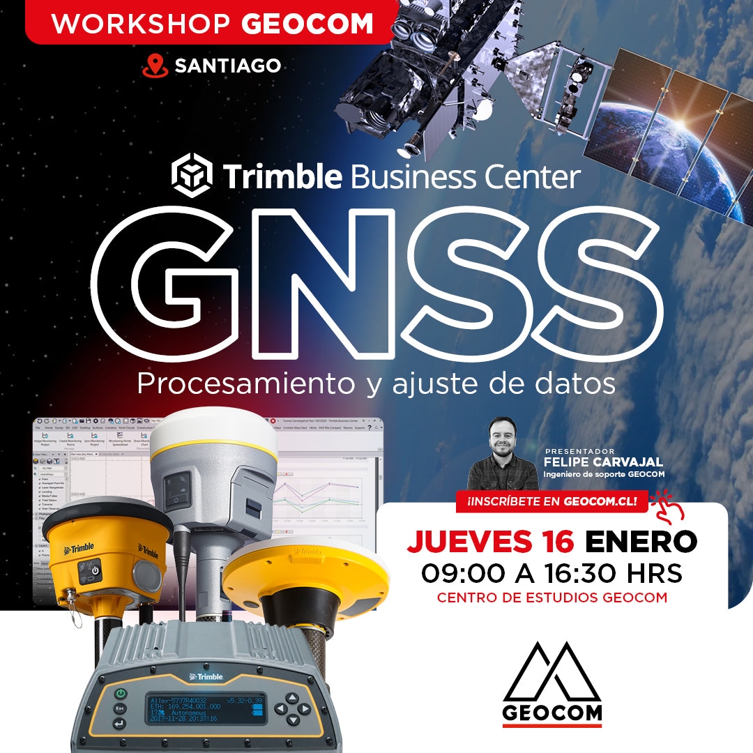
Santiago Workshop | GNSS Data Processing and Adjustment in TBC
THURSDAY, JANUARY 16 | 09:00 AM TO 04:30 PM | GEOCOM STUDY CENTER
In this workshop, we will present different examples developed with TBC (Trimble Business Center) tools to optimize the process of GNSS network design, processing, adjustment, and deliverables.
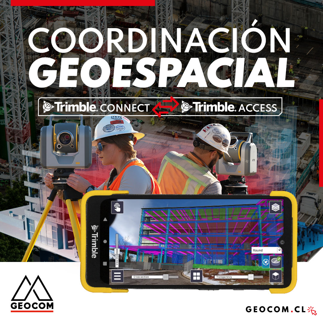
Geospatial Coordination | Trimble Connect Workflow with Trimble Access

Trimble Forensics Reveal: Scene Digitization

Trimble Forensics: X7 Laser Scanner
![Reality Capture en edificación: [CAP.1] Modelamiento 3D “As built”](http://www.geocom.cl/cdn/shop/articles/post_Reality_capture_capitulo1.jpg?v=1715096235&width=1080)
Reality Capture in building: [CH.1] "As-built" 3D modeling
In this experience, we immersed ourselves in the Trimble Reality Capture workflow to generate an "As-built" 3D model of a 5-story building with 2 underground levels.
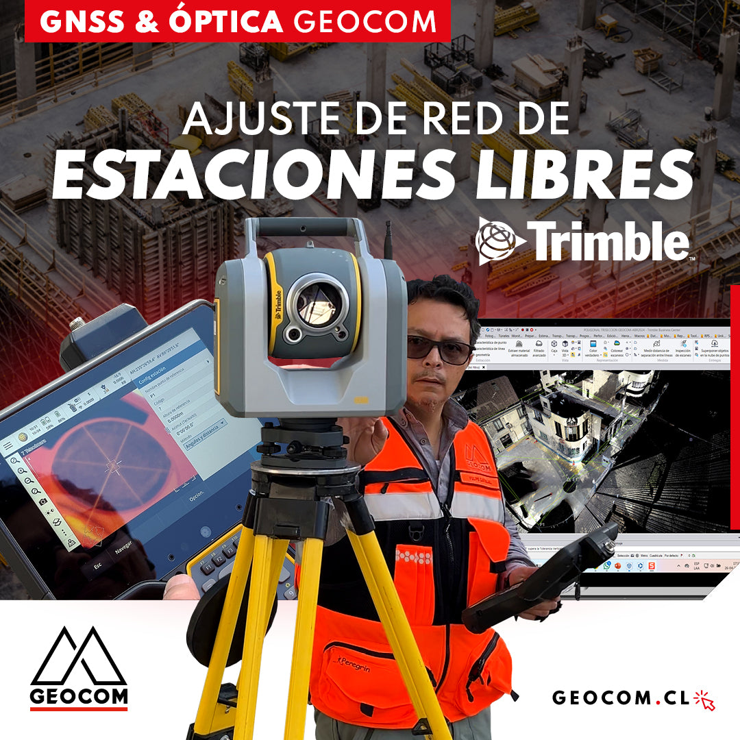
Free Station Network Adjustment
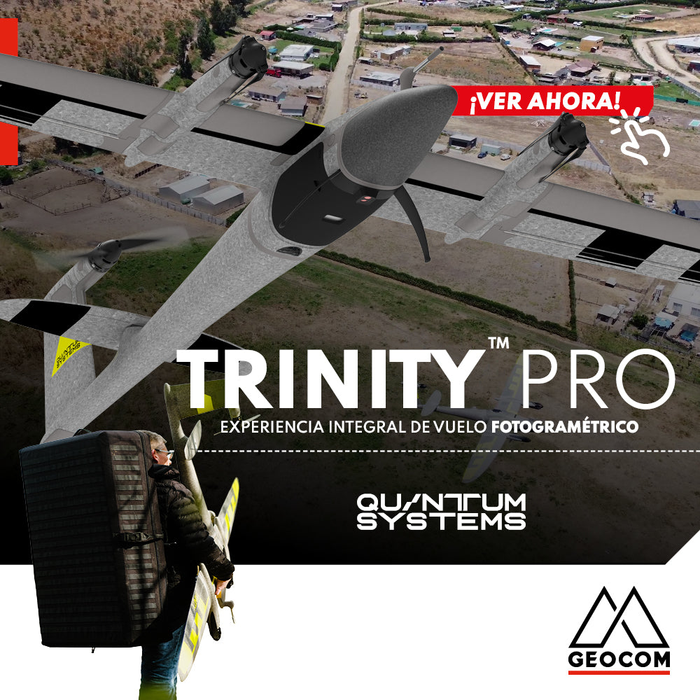
Quantum Systems Trinity Pro | Comprehensive Photogrammetric Flight Experience
In our recent mission, we completed a comprehensive photogrammetric flight experience, using cutting-edge technology to deliver high-precision, high-quality results. Here is an overview of our process ↓
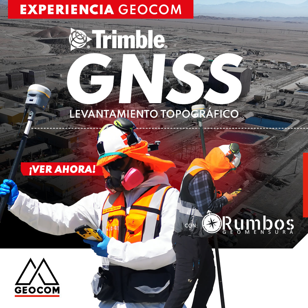
Trimble GNSS | Mine Plant Survey
GNSS in its RTK mode has become a standard for conducting topographic surveys due to its high productivity and ease of observation. Furthermore, by adding automatic drawing tools, the use of GNSS is tremendously beneficial.

Trimble Business Center: Geometric Leveling
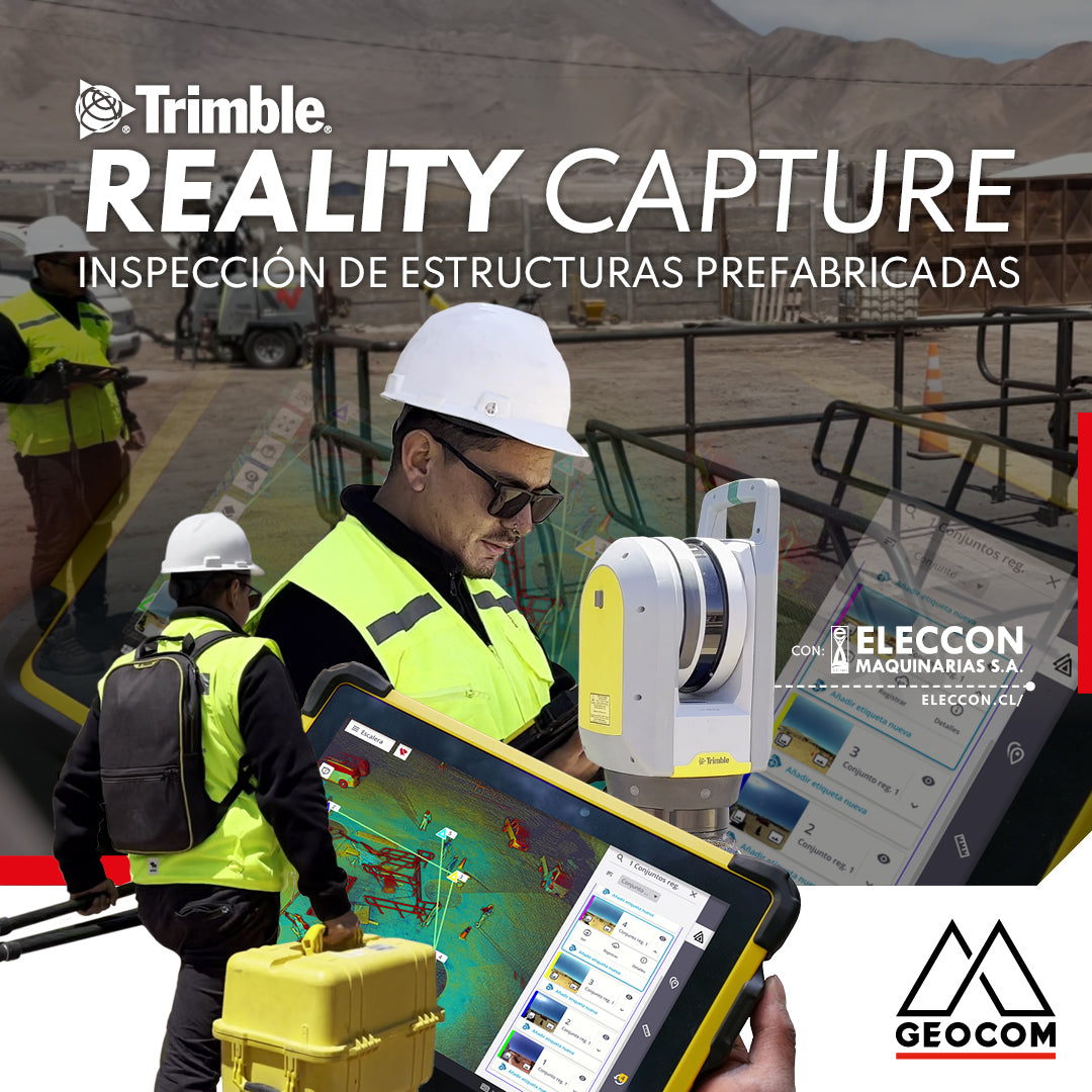
Trimble Reality Capture: Prefabricated Structure Inspection
Enriching the inspection process of prefabricated structures destined for mining operations, our friends at Eleccon Maquinarias share their workflow. This is based on the use of Reality Capture tools, such as the Trimble X7 laser scanner, Trimble Realworks processing software, and the Trimble Connect collaboration platform.