

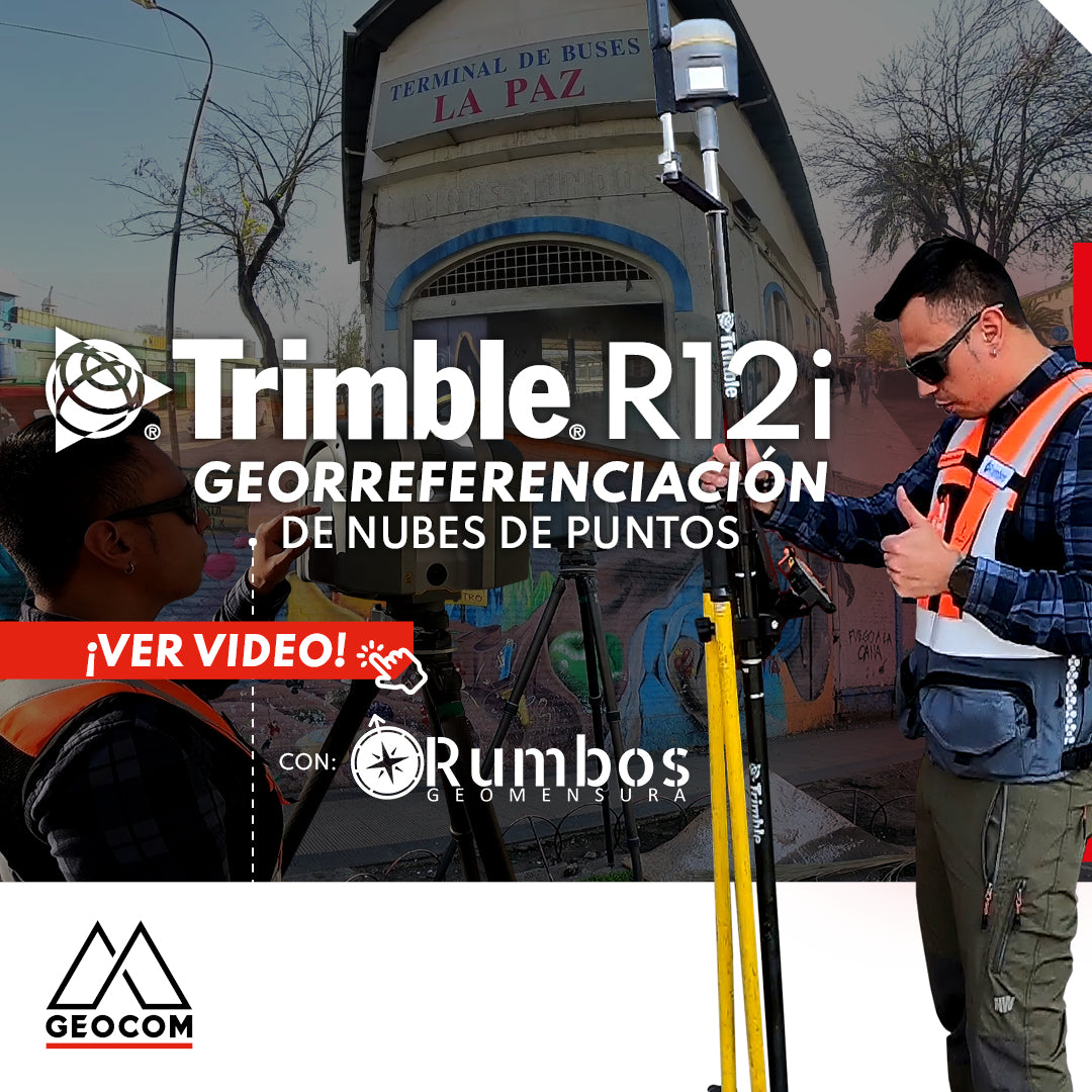
Point Cloud Georeferencing | Trimble R12i
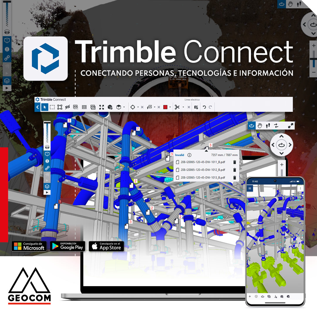
Trimble Connect: Connecting people, technologies, and information
In a world driven by digitalization, effective collaboration and project management are essential. That's why Geocom introduces the Trimble Connect common data environment, the solution that connects people, technologies, and information.
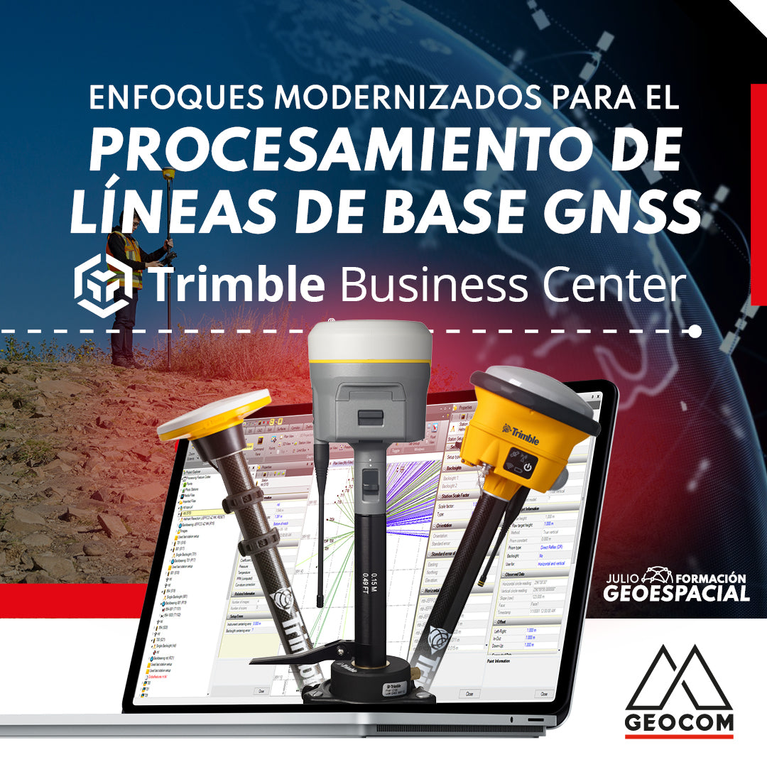
Modernized Approaches for GNSS Baseline Processing in Trimble Business Center
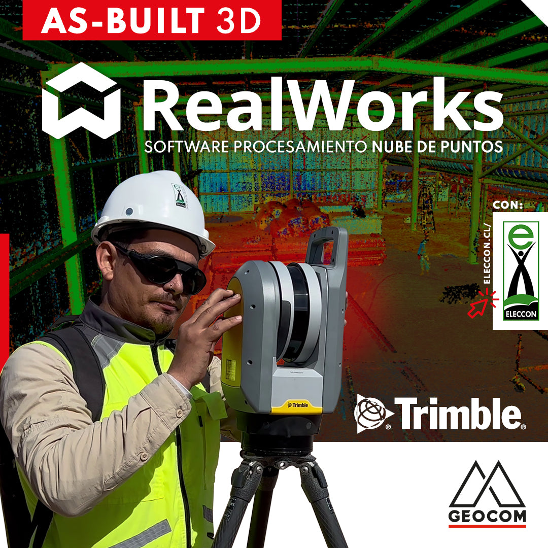
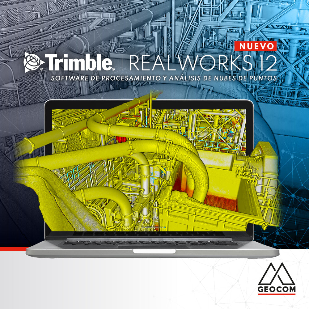
Trimble RealWorks | As-Built 3D
On this occasion, our friends from Eleccon Maquinarias show us the process they follow to digitize an existing structure using Trimble X7 laser scans and subsequently create a 3D model with Trimble Realworks software.
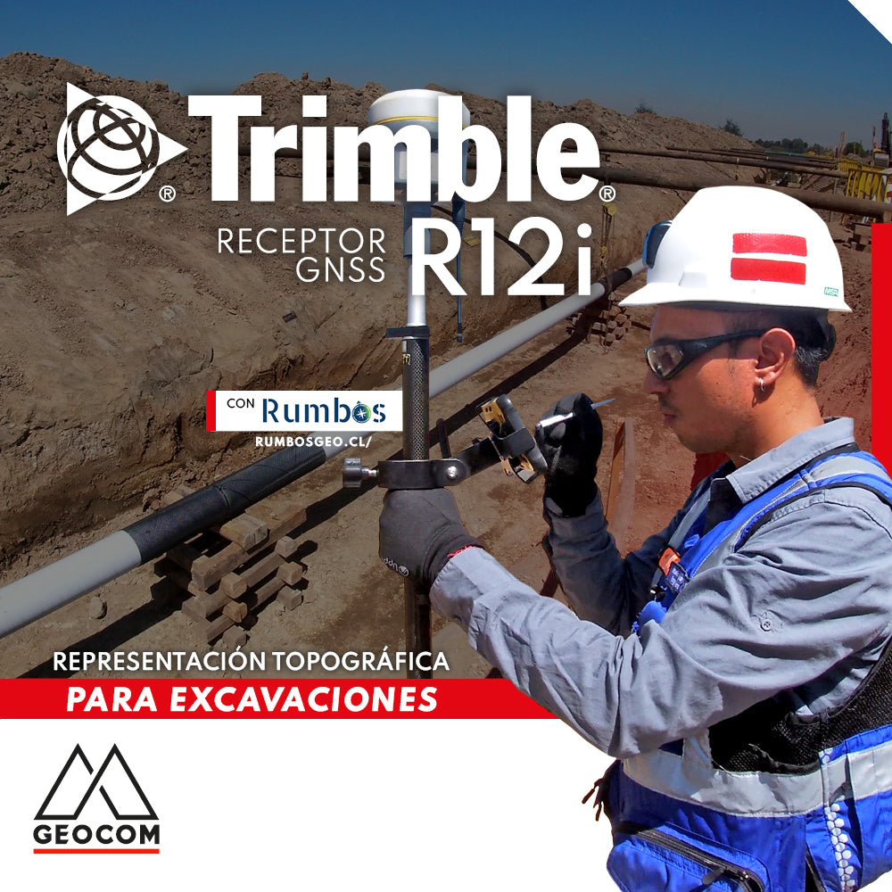
Topographic Representation for Excavations | Trimble R12i
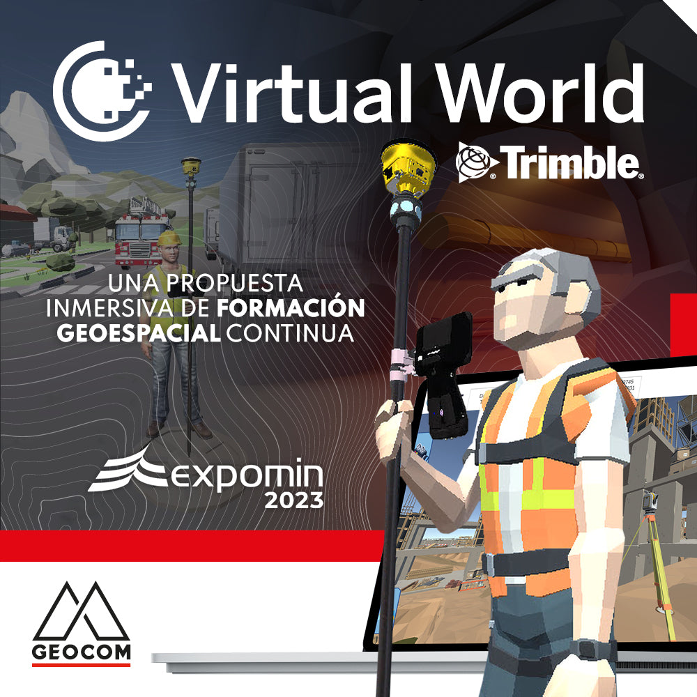
Trimble Virtual World is an efficient solution that offers comprehensive tools for training in geospatial technologies, thanks to its training tools and simulation quality
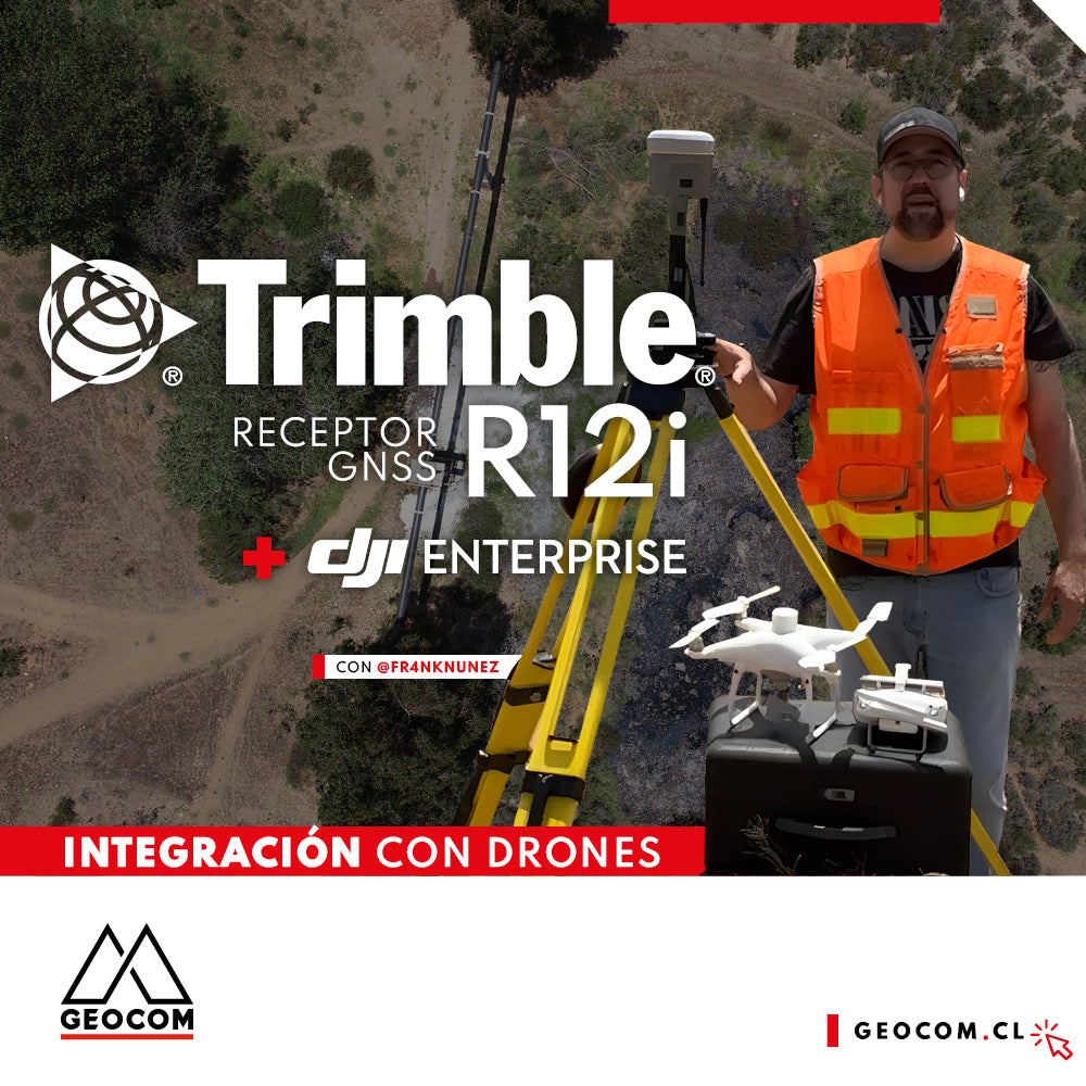
Case 5 Trimble R12i | Drone integration
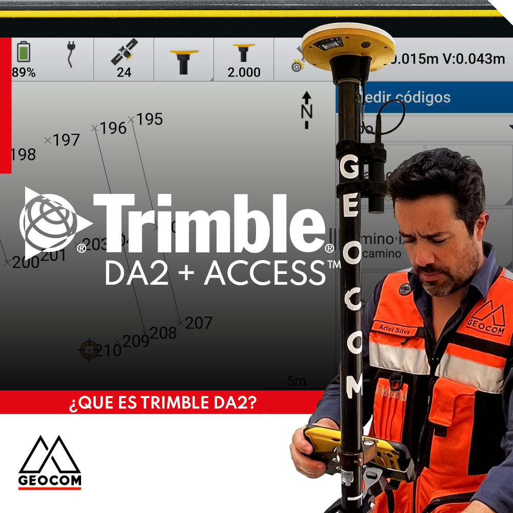
Trimble DA2 can be integrated with a variety of field software, including Trimble Access, which offers a series of advanced functionalities for surveying.
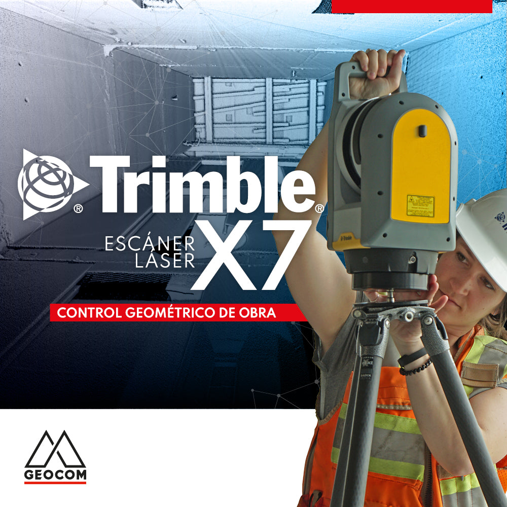
Trimble X7 | Construction geometric control
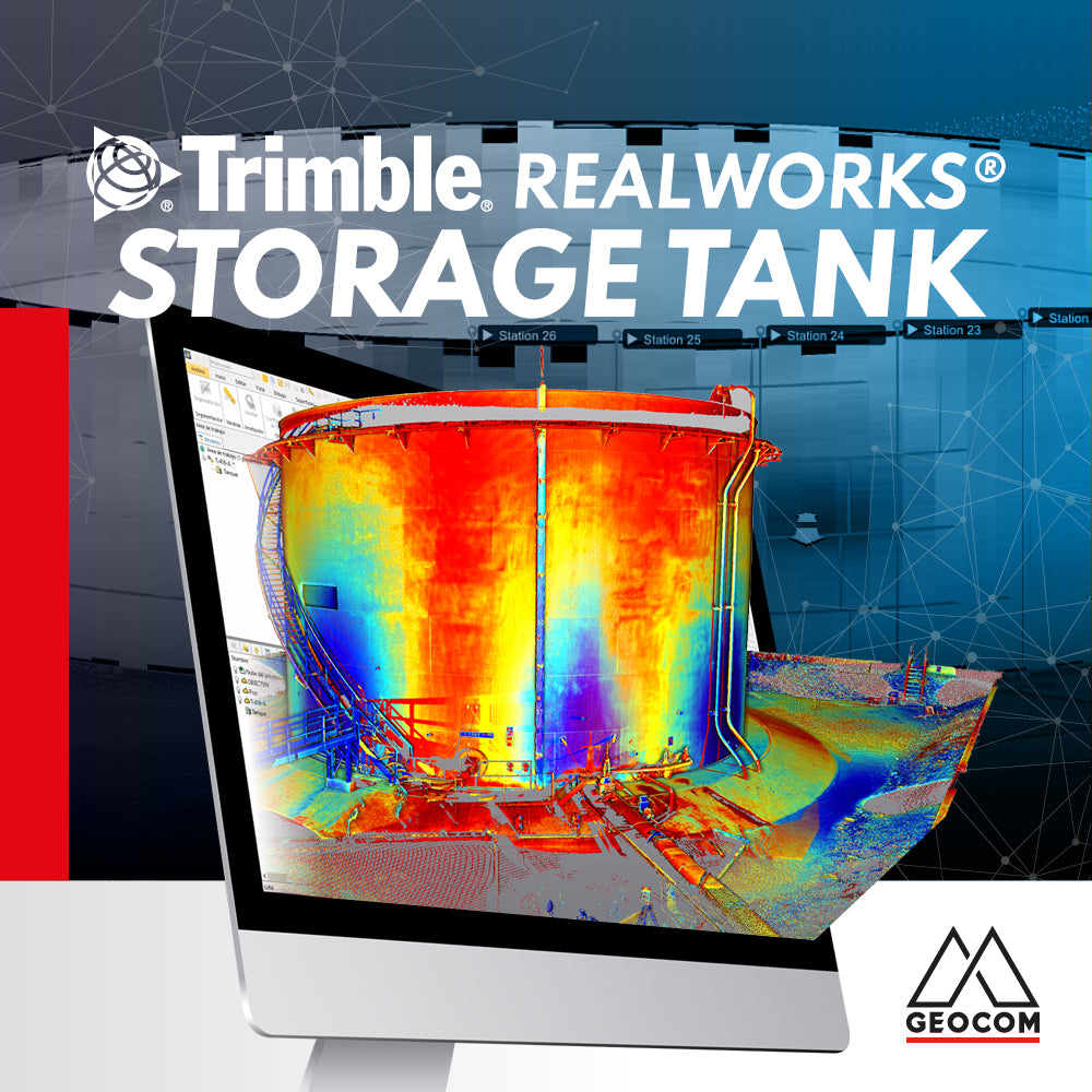
Trimble RealWorks Storage Tank
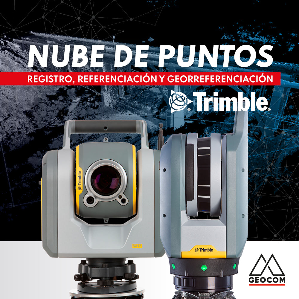
Point cloud: REGISTRATION, REFERENCING, AND GEOREFERENCING
Point clouds represent reality in three dimensions with high representativeness. Depending on the sensor's capabilities and the measurement conditions, the resulting cloud can vary in resolution and accuracy.
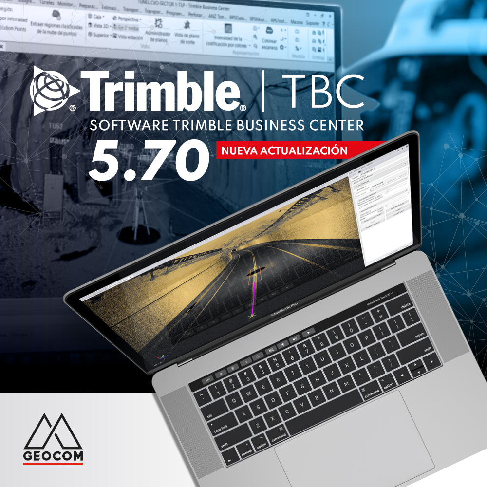
New Trimble Business Center 5.70 update
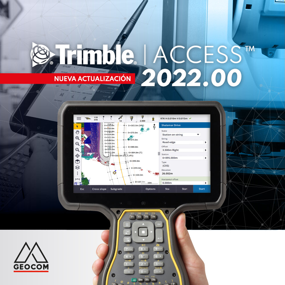
New Trimble Access 2022.00 Update
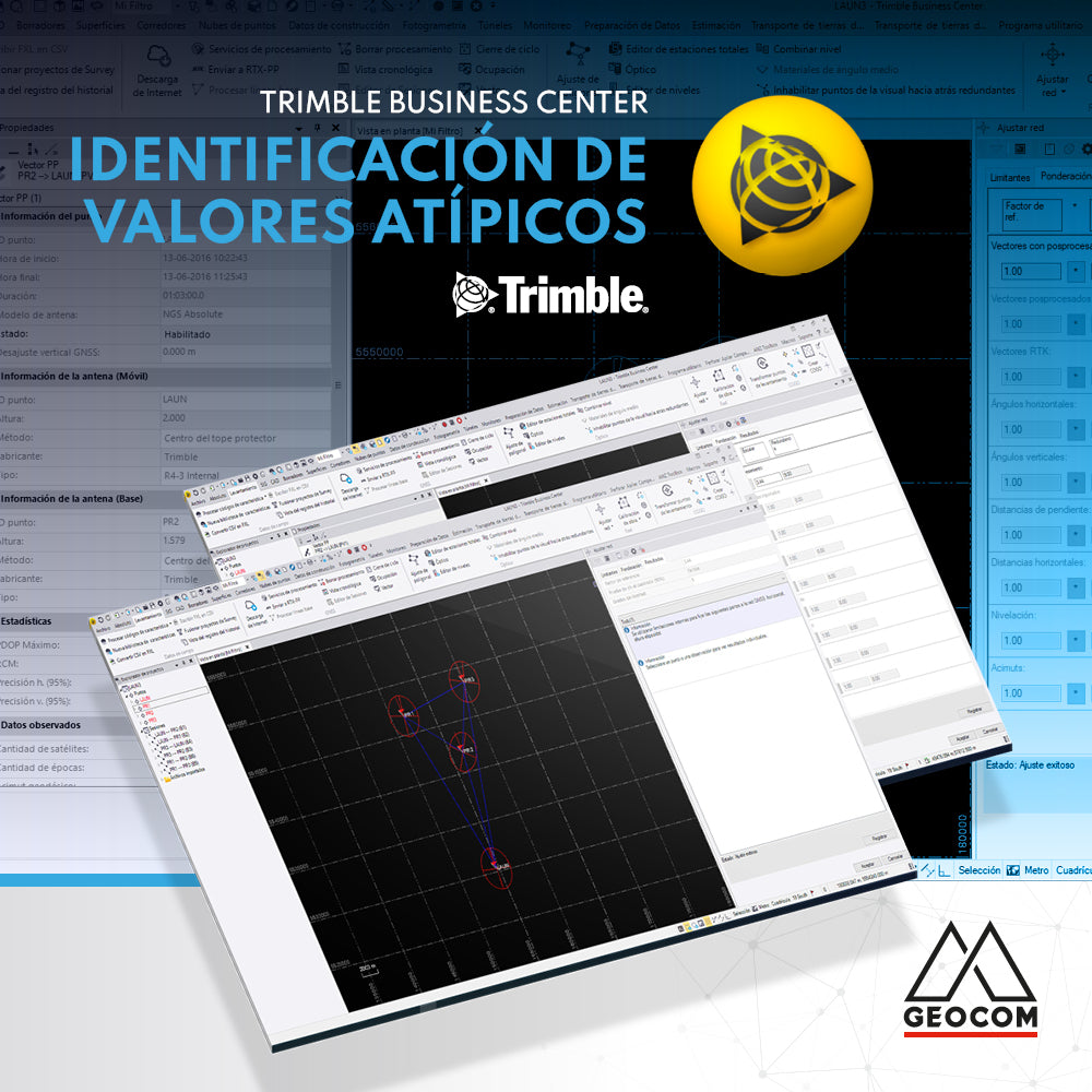
Outlier identification in Trimble Business Center