

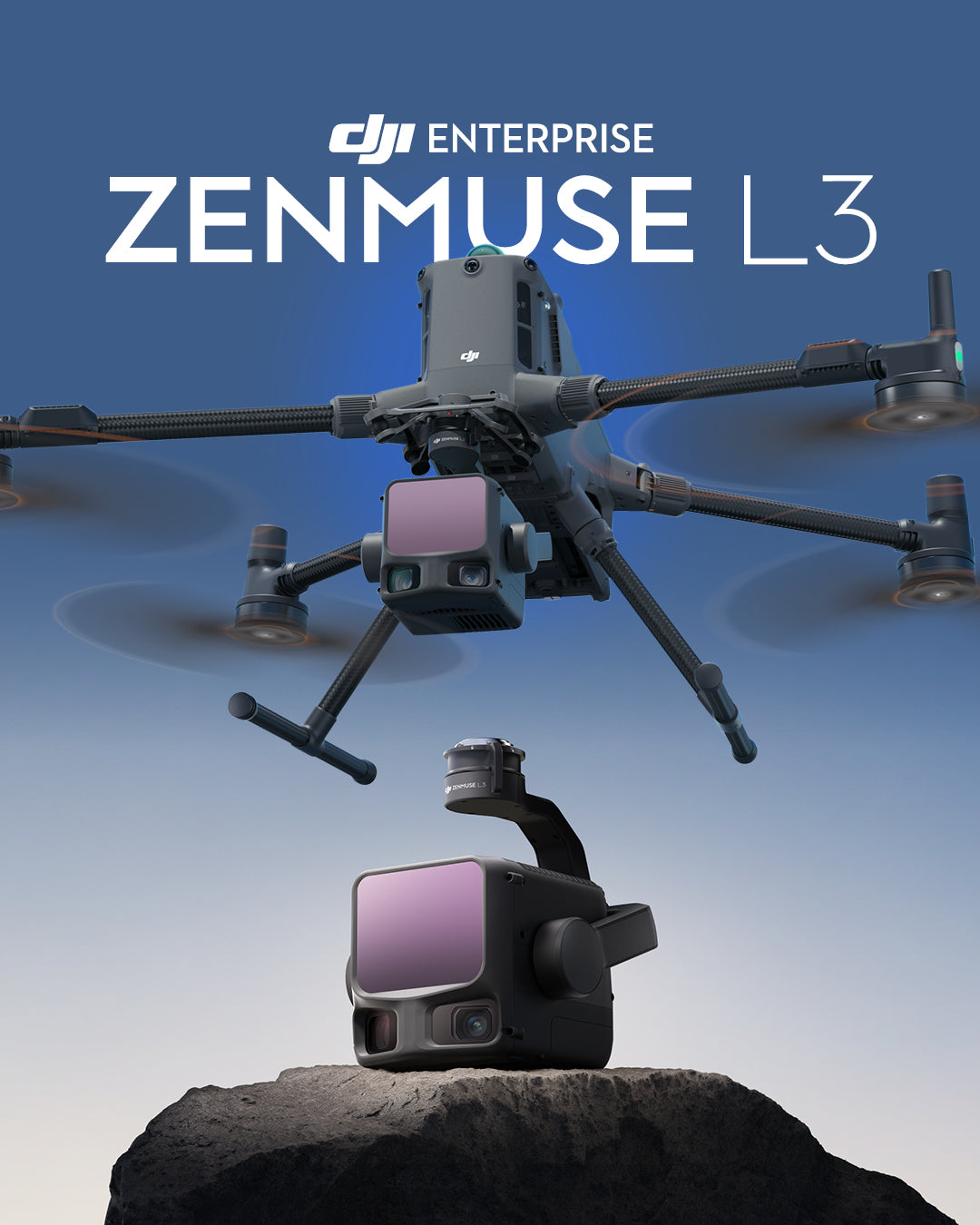
Meet the DJI Zenmuse L3: DJI's New Long-Range, High-Precision LiDAR System
The DJI Zenmuse L3 represents a significant leap in aerial LiDAR innovation, combining long-range laser technology up to 950m, dual 100MP 4/3 CMOS RGB cameras, and a high-precision POS system into a compact, integrated solution.
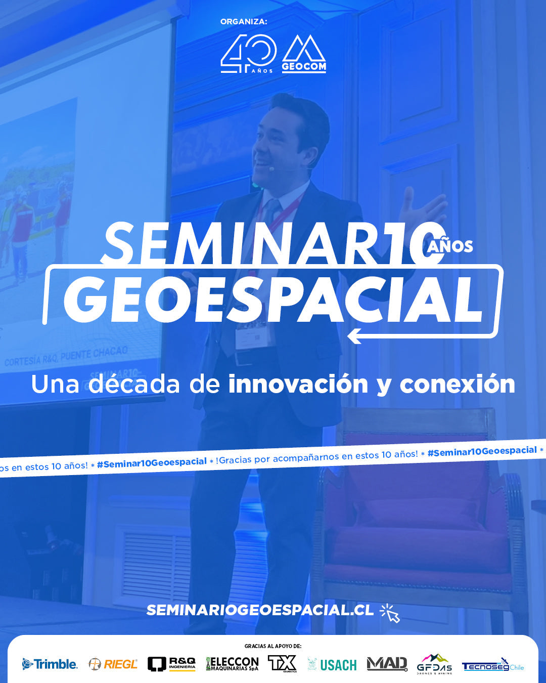
Geospatial Seminar 2025 - A decade of innovation and connection
The 2025 Geospatial Seminar, which this year celebrated a decade of history, brought together more than 200 surveying professionals interested in learning about the latest trends and developments in geospatial technology.
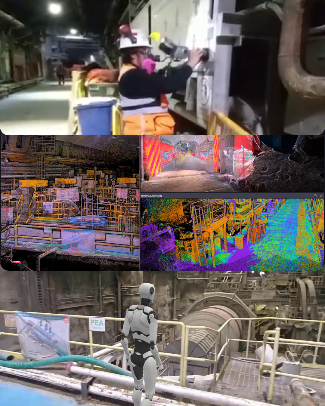
XGRIDS L2 Pro experience in an industrial processing plant
In our latest experience video, we documented a survey carried out with the XGRIDS L2 Pro Multi-SLAM, demonstrating the capabilities of this cutting-edge technology in extremely challenging conditions: tunnel scanning.
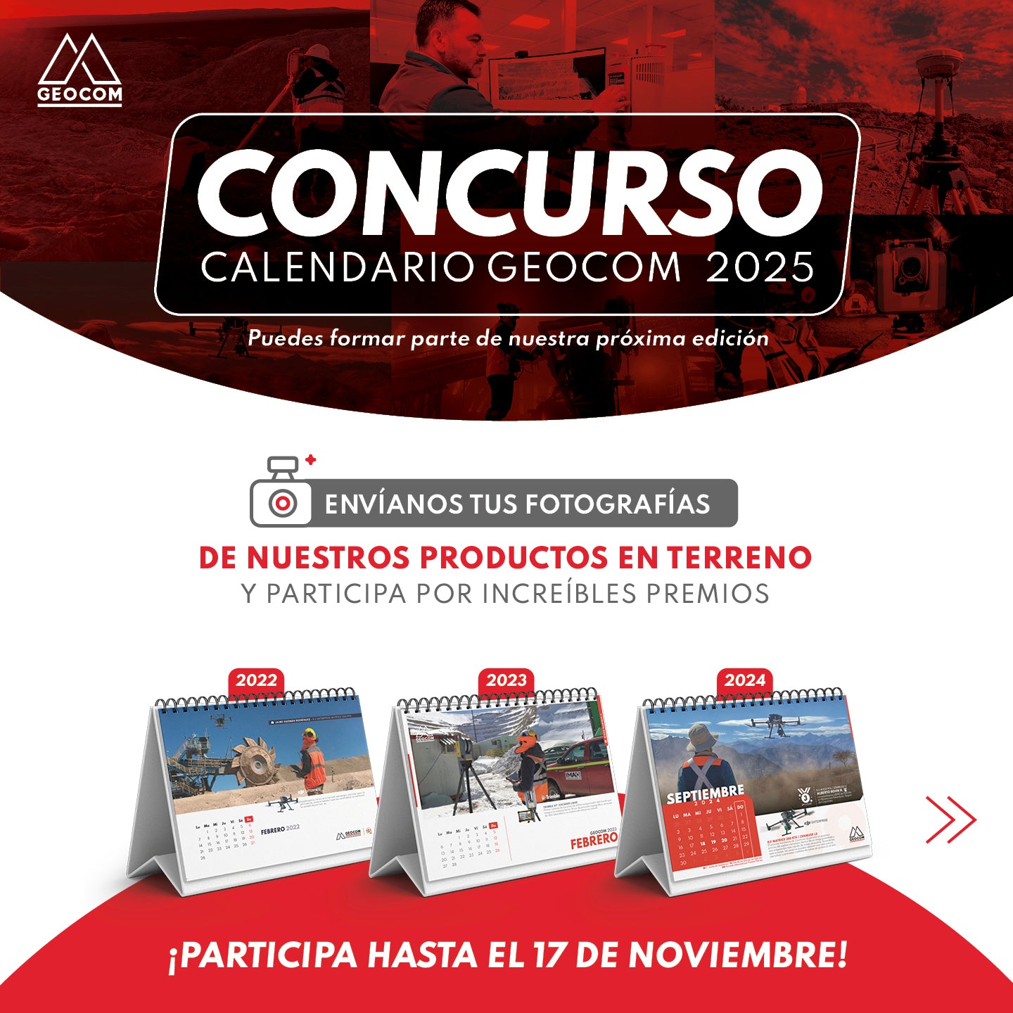
CONTEST! 📷 GEOCOM CALENDAR 2025
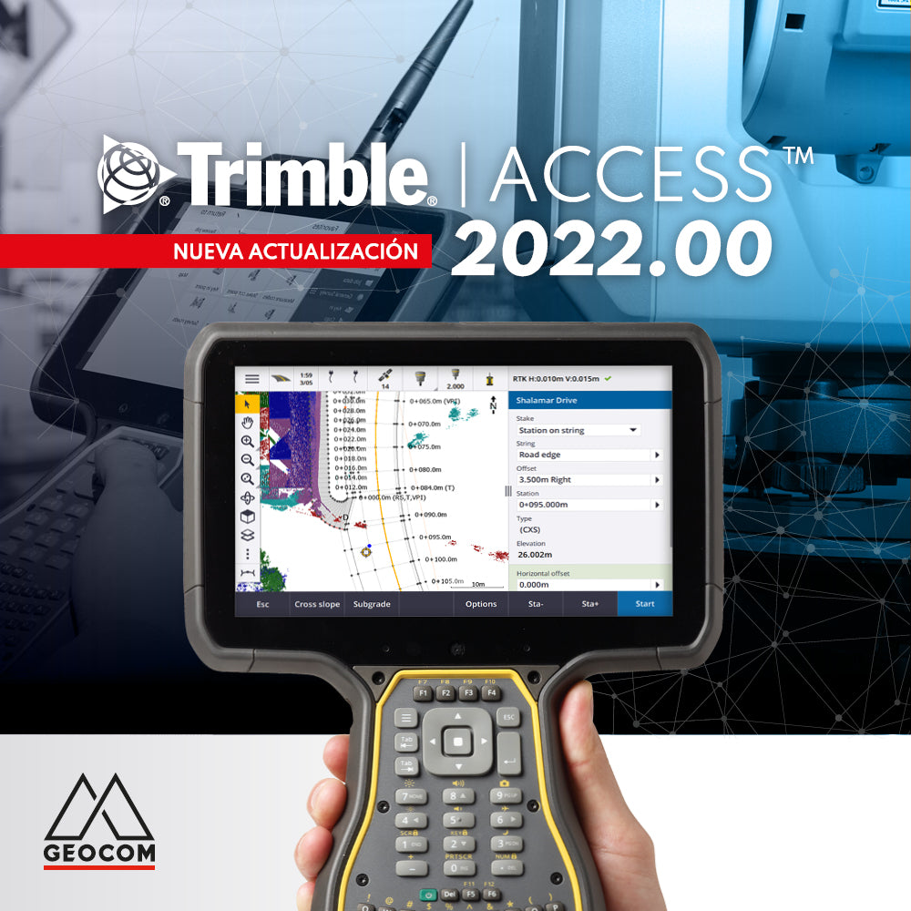
New Trimble Access 2022.00 Update

RIEGL Mobile Scanning System + TBC
MOBILE TOPOGRAPHIC SURVEYS IN LARGE INFRASTRUCTURE PROJECTS
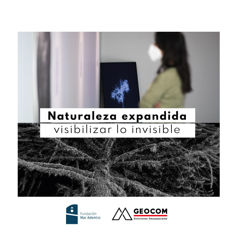
Expanded nature: making the invisible visible
We are pleased to present the exhibition "Expanded Nature: Making the Invisible Visible," a collaborative project with the Mar Adentro Foundation.
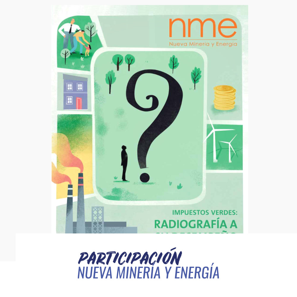
Participation in the New Mining and Energy magazine
Issue N°133 of Nueva Minería y Energía magazine is now available.
Access its digital version here.