

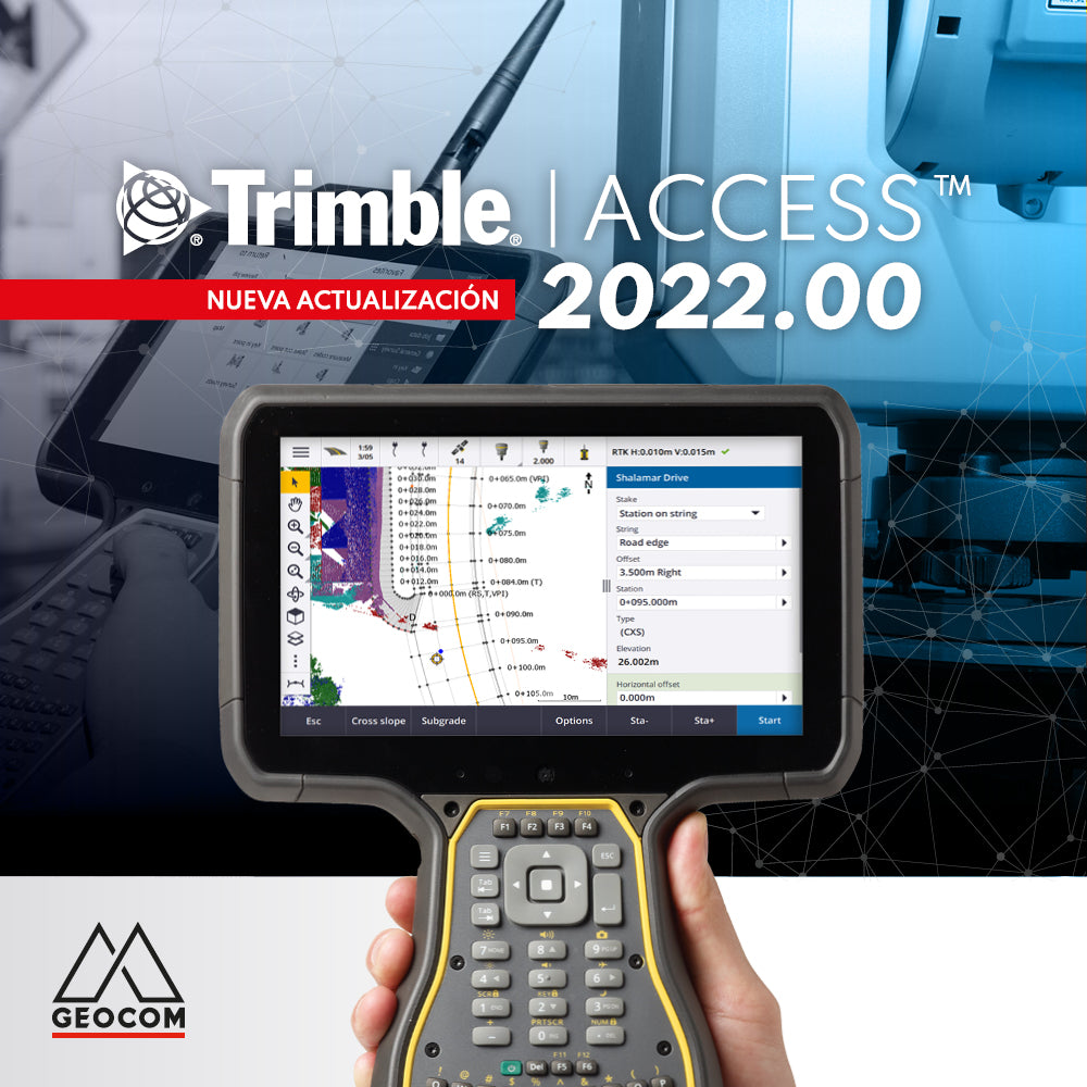

Discover what's new in Trimble Access version 2022.00:
Synchronization Planner
Work in the Trimble cloud and automate job synchronization.

TrimBIM
TrimBIM (or TRB) is Trimble's BIM format for using 3D models directly in the field. The advantage of using TrimBIM in Trimble Access is using a lighter and faster model compared to IFC, DWG, SKP, or NWD. Just import the models in the indicated formats and Trimble Access will directly convert them to TrimBIM.
Georeferencing of DXF and IFC
Data based on DXF and IFC files can be georeferenced directly in the field from observations or from already established points.

WFS (Web Feature Service)
This corresponds to vector data provided via a web service (similar to WMS which provides georeferenced images). WFS can be used to apply COGO functions or stakeout using a JOB that matches the service's reference.

Object-oriented setup
Set up the total station according to the object's coordinate system, for example, when the object's vertical axis is not aligned with the instrument. This feature is very useful for assembly.

Surface Inspection with TSC5 and TDC600 using SX series
Comparison between a scan developed with SX10 or SX12 and another scan or a reference surface.

Wi-Fi Connection
Use Trimble Access to configure and use a GNSS receiver as base and rover via Wi-Fi connection.

Improvements in the use of GNSS constellations
T04 files support all GNSS constellations to be stored directly on the controller. The L5 signal is used by RTX.

SIRGAS 2021.00
SIRGAS 2021.00 is incorporated into the coordinate system library.

Horizontal offset with R12i:
Use R12i to set horizontal offsets in measuring inaccessible points.

Staking out alignments from IFC 4.1:
IFC 4.1 now includes alignments. It is possible to visualize the 3D model and directly stake out the alignment.

Measuring codes with descriptions:
The measure code buttons now come with descriptions.

Reports and map screenshots:
A button to take map screenshots is now included. The survey report includes screenshots from instruments with Trimble Vision.

The new roads module 2022.00:
Press on the map to select and define staking methods for the road, lines, or station.

.
Perpendicular differences to a DTM:
DTM staking includes a vertical and perpendicular difference to the surface.

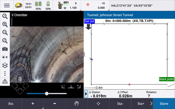
Split screen in tunnel:
Trimble Access's tunnel module allows viewing where you are pointing (with Trimble Vision) while also using the map.
Compartir:
OPINION COLUMN | Integrating Acceleration into Geometry
New Trimble Business Center 5.70 update