

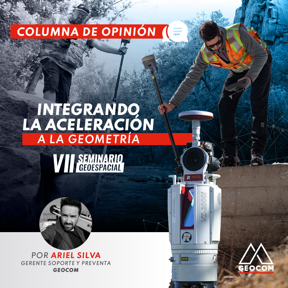
Since 2015, GEOCOM has been organizing the well-known Geospatial Seminar, which has been held annually in six different editions. The Geospatial Seminar has become an interesting forum for discussion of ideas, review of new technologies, presentation of innovative techniques, and, most importantly, a gathering place for colleagues and professionals who wish to delve deeper into advanced topics in geomatics and land surveying. We firmly believe that we have opened a very important space for geospatial dissemination.
The last version of the seminar, held in November 2021, was especially different because we added a specific theme as the common thread of the event. We had to think of a topic that was broad and relevant enough to make the effort of narrowing the scope of the presentations worthwhile. In this way, we arrived at augmented reality applied in engineering, the use of which we are already seeing in Chile with BIM, considerations related to productivity, and, to a certain extent, the simplification of satellite observation techniques through GNSS.
In organizing this year's seminar, surprisingly, it wasn't so difficult to reach an agreement on the central theme. All signs from geospatial observation techniques point in one direction: inertial sensors. It has been truly impressive to see how a new generation of GNSS incorporates this device for determining the antenna's pose, and how a variety of instruments requiring interaction with an inertial sensor continue to be added. Inertial sensors have been with us for many years and are appearing in more and more techniques. For this reason, we consider it very important to contribute to the knowledge of this technology and its current and future uses.
In particular, GEOCOM has worked for many years with Applanix, a Trimble company specializing in the development and manufacture of inertial navigation systems, whose products are primarily integrated into systems requiring precise navigation.
Now, to contribute to the understanding of the use of inertial sensors, it is necessary to ask why their incorporation into geospatial techniques is important and what they manage to observe. First of all, an inertial sensor is an arrangement of accelerometers and gyroscopes (arranged on 3 axes) through which acceleration and angular velocity are measured, respectively. Acceleration and angular velocity must be measured in the three-dimensional component, and through their variation over time, position and orientation are calculated using the corresponding functions. Newton's mechanics equations have never been more present for positioning purposes!
The above is particularly interesting to analyze in academic terms given that land surveying has been an eminently geometric occupation, and we have just mentioned some fundamentals of Newtonian mechanics applied in positioning (or rather in trajectory determination). Perhaps one of the first approaches of land surveying in the decomposition of physical observations into geometric elements was through electromagnetic waves with the aim of obtaining distances. This has been used in both terrestrial and spatial observations with direct applications in the practice of land surveying and geomatics. Therefore, physics has been intrinsically linked to this geometric discipline.
In the case of inertial sensors, we could say that their contribution has been silent and underground. For example, a LiDAR in dynamic applications needs the determination of its pose to be able to orient the point cloud directly. This is done with the use of GNSS+IMU (satellite positioning combined with an inertial measurement unit), achieving the computation of 6 parameters (3 position coordinates and 3 orientation coordinates). Another very advantageous application of an inertial sensor is the possibility of replacing GNSS in places where satellite observation cannot be performed; the inertial sensor achieves positioning where GNSS cannot because its observation depends intrinsically on the Earth system and not on artifacts like satellites. Consequently, techniques such as LiDAR and photogrammetry have been strengthened with the incorporation of GNSS+IMU, applying direct referencing through the pose of the laser head and/or photographic camera.
Regarding more common applications in topography, the possibility of measuring at an incline with a GNSS is well known. However, this functionality has revealed something even more important: the advantageous orientation of the antenna to observe satellites that it could not if it were vertical. On the other hand, some laser scanners use inertial sensors to establish the verticality of the system, also determining an approximate position between different stations, which contributes to optimizing the point cloud registration process. In SLAM, simultaneous localization and mapping, inertial sensors are also present, providing the pose of the scanner head, making the registration algorithm apply faster and more efficiently.
Inertial sensors hold a series of benefits for the future. I have no doubt that one day we will be able to measure indoors using a GNSS+IMU, dragging an outdoor position based exclusively on observation of acceleration and angular velocity. Finally, while we wait for that moment to arrive, we have an obligation to prepare ourselves theoretically to address these types of challenges, contributing to the development of the specialty.
Written by: Ariel Silva - Support and Presales Manager Geocom


Compartir:
Mobile Laser Scanners in Road Projects
New Trimble Access 2022.00 Update