

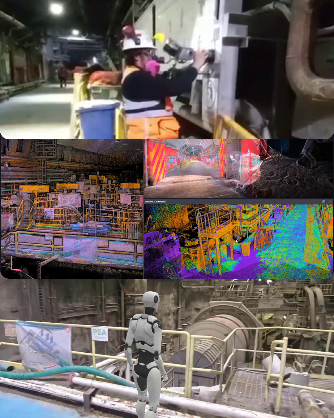
In our latest experience video, we documented a survey conducted with the XGRIDS Lixel L2 Pro Multi-SLAM, demonstrating the capabilities of this cutting-edge technology in extremely challenging conditions: tunnel scanning.
Exceptional results in demanding conditions
During this survey, 250 meters of tunnel were traversed in just 18 minutes of continuous scanning. To ensure maximum accuracy, the point cloud was topographically controlled at the beginning, middle, and end of the route. This control not only allowed for referencing the data to the project's coordinate system but also corrected the trajectory reconstruction, ensuring a precise and stable model.
The Map Fusion workflow facilitated the integration of multiple point clouds, while the Narrow algorithm, specifically designed for linear projects and tunnels, optimized processing, ensuring continuity and precision even in these complex environments.


Next-generation Multi-SLAM technology
The XGRIDS Lixel L2 Pro represents the most advanced solution in portable 3D scanning technology. This device integrates LiDAR information, visual data, and inertial sensor information with advanced artificial intelligence algorithms, revolutionizing traditional SLAM captures.
* Relative accuracy of 1 cm and absolute accuracy of 3 cm
* Scanning range of up to 300 meters (depending on model)
* LixelUpSample™ algorithm: generates photographic quality clouds, 1 million points/m² with 1mm spacing
* Multi-SLAM technology: exceptional adaptability in challenging environments such as tunnels, underground spaces, and areas without satellite signal

The LixelStudio software complements the workflow, offering advanced tools for editing, map merging, measurement, 3D clipping, and accuracy report generation.
The difference good practices make
In conditions as demanding as tunnel surveying, the combination of good measurement practices with advanced tools developed by XGRIDS makes a significant difference. Strategic topographic control and the correct use of specialized algorithms are key to obtaining reliable and high-quality results.
Watch the full video of this experience on our channel and discover how the XGRIDS Lixel L2 Pro is transforming surveying in underground infrastructure projects.
Compartir:
GEOCOM 2026 Calendar Contest - Participate!
Geospatial Seminar 2025 - A decade of innovation and connection