

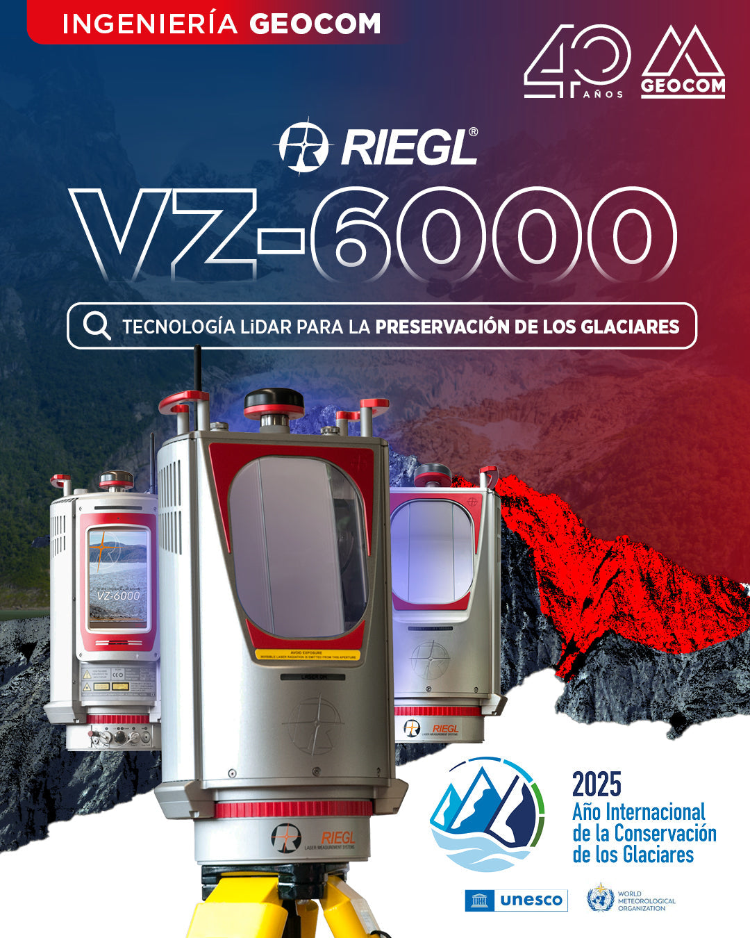
Riegl VZ-6000: LIDAR Technology for Glacier Preservation
LIDAR technology has marked a significant turning point in the technological transformation of glacier monitoring. The VZ-6000 laser scanner, developed by the Austrian company Riegl in 2012, has set new standards in remote data acquisition.
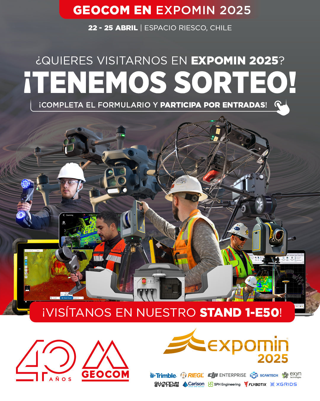
GEOCOM to present cutting-edge technology at EXPOMIN 2025
GEOCOM is pleased to announce its participation in EXPOMIN 2025, the most important mining fair in Latin America, which will be held from April 22 to 25 at Espacio Riesco. Visit us at Stand 1-E50 where we will exhibit and demonstrate state-of-the-art equipment for the mining and geospatial sectors.
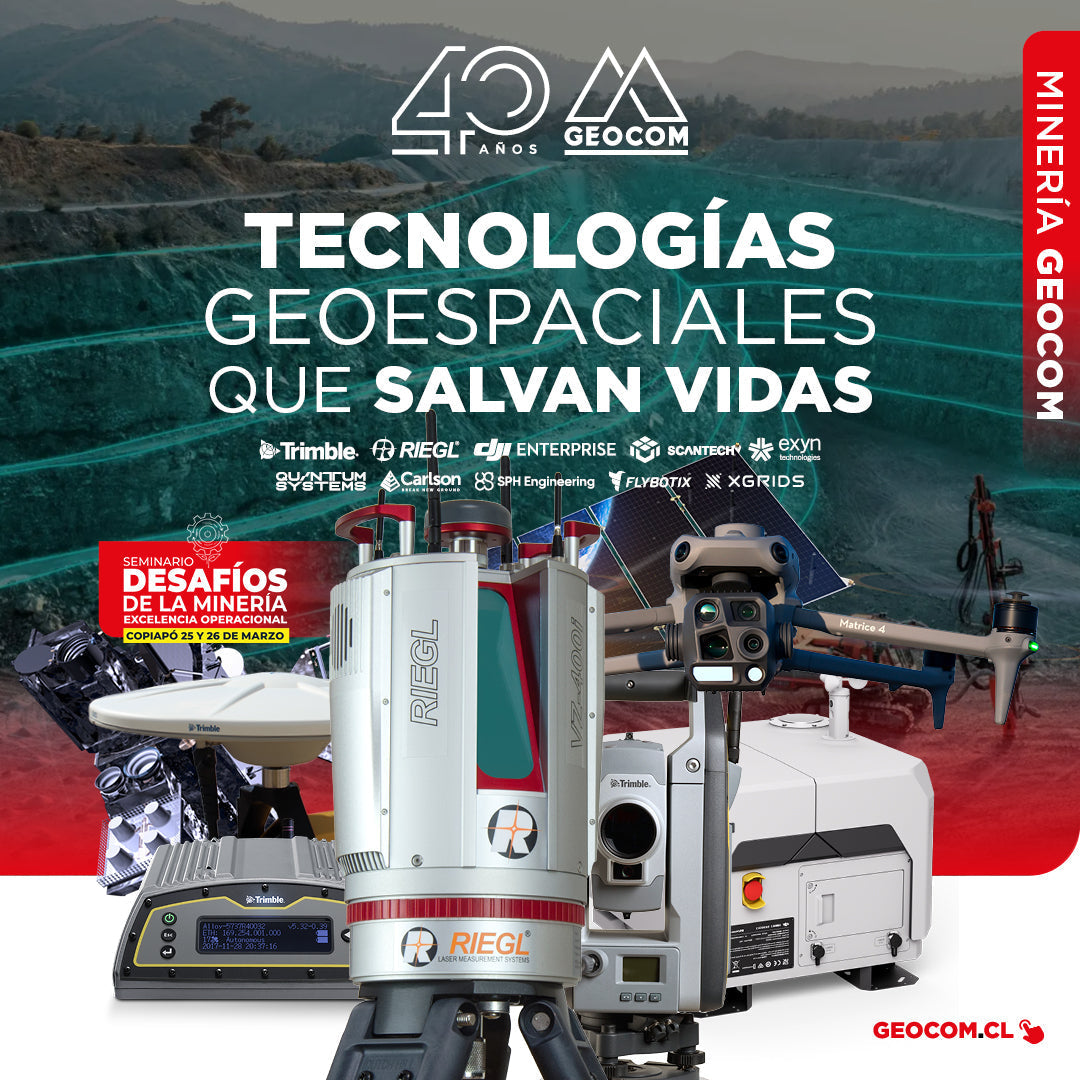
GEOCOM: Technological Innovation for Mining Safety in Copiapo
On March 22 and 23, GEOCOM actively participated in the seminar "Mining Challenges: Operational Excellence," an event organized by the Industrial Journalistic Group in the city of Copiapó.
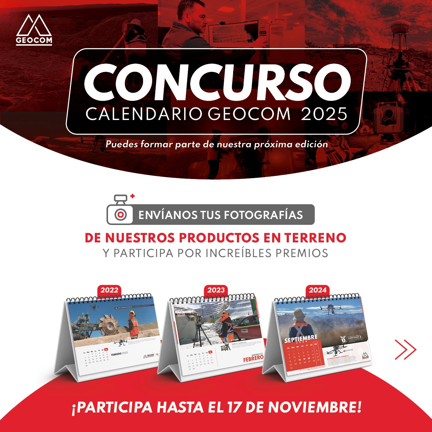
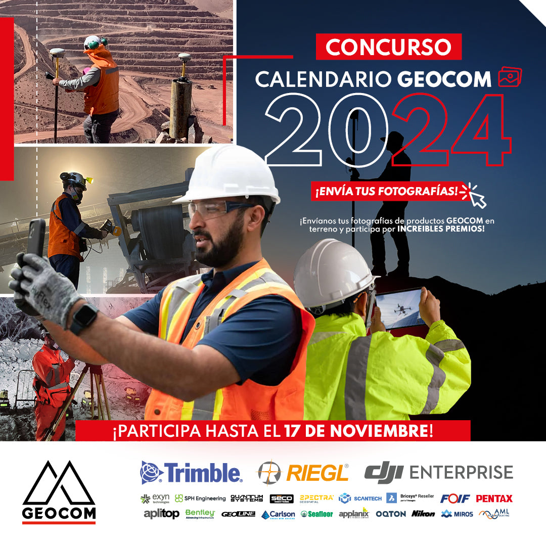
CONTEST! 📷 GEOCOM CALENDAR 2025
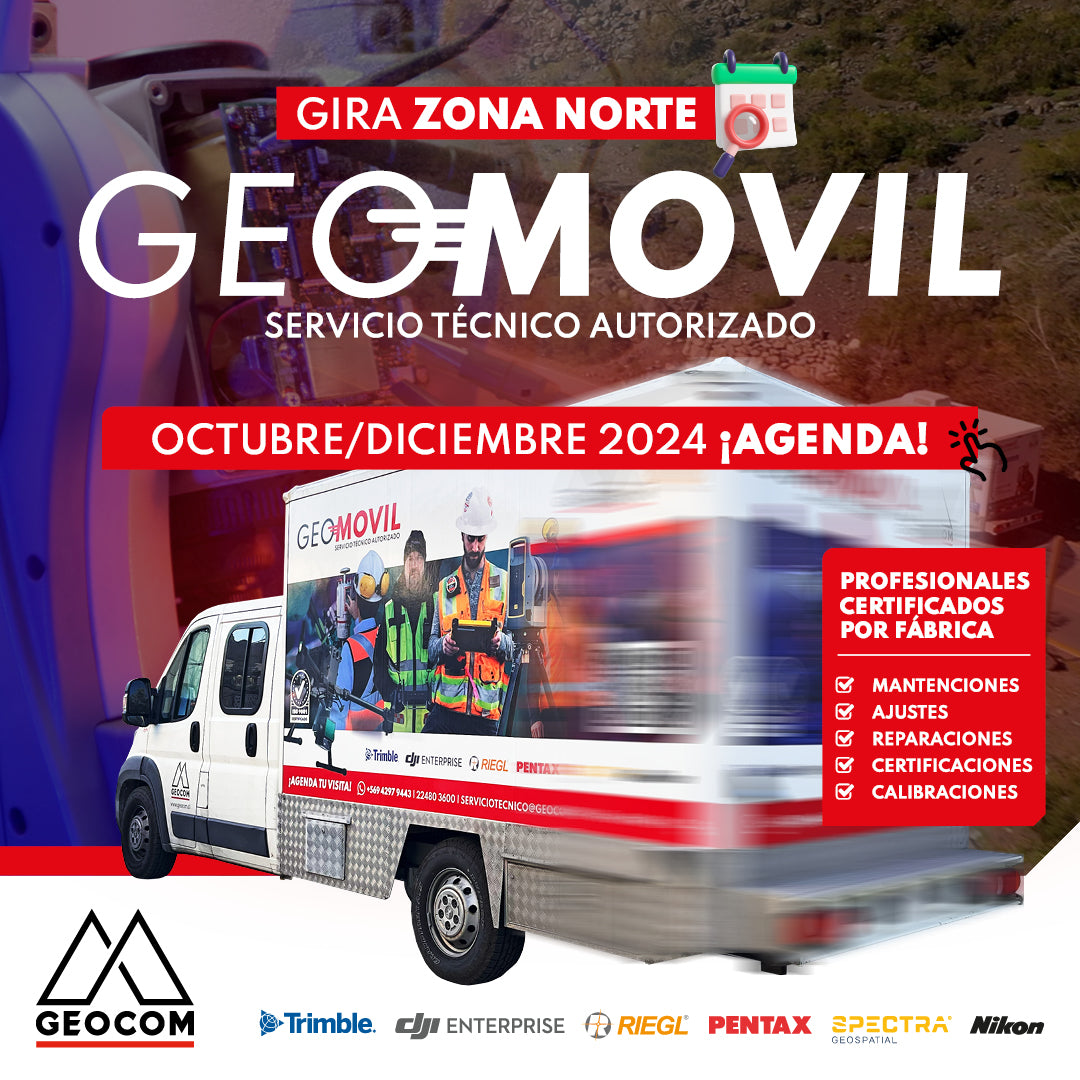
GEOMÓVIL GEOCOM | NEW TOUR OCTOBER - DECEMBER 2024
We are pleased to announce our new tour to the north of the country with our authorized on-site technical service. During the months of October and December, we will be visiting the cities of: 📍 Antofagasta, 📍 Calama, 📍 Iquique and 📍 Copiapó
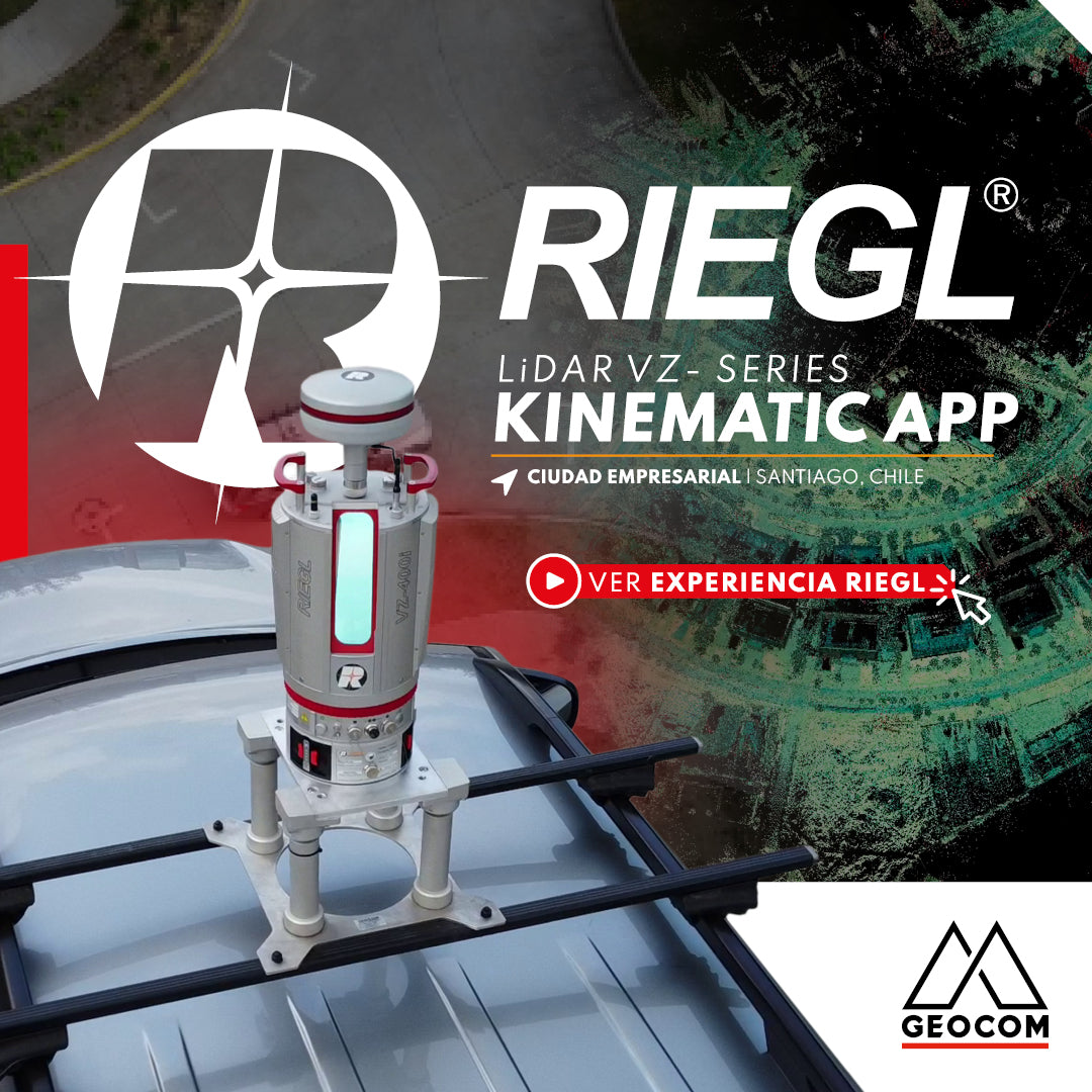
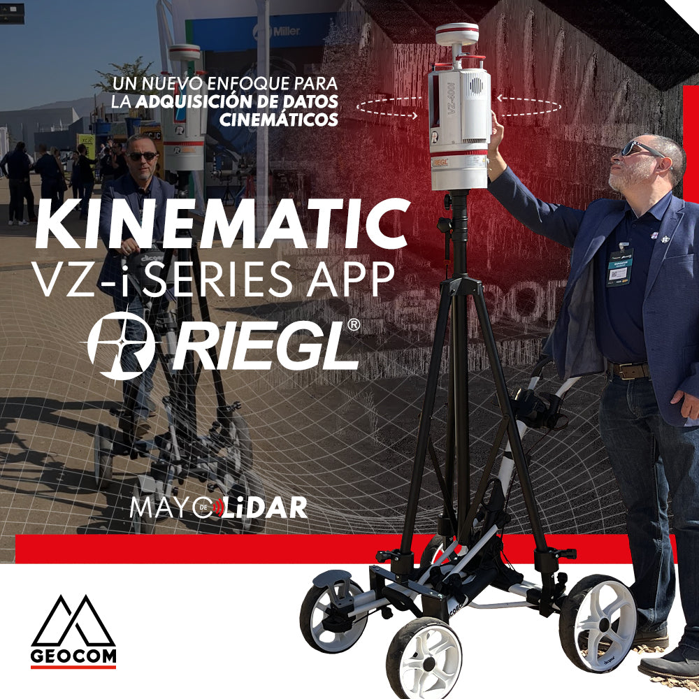
RIEGL VZi-Series: Kinematic Measurements with Terrestrial LiDAR Scanners (TLS)

RIEGL LiDAR Applications on Drones
RIEGL offers a range of possibilities in the drone LiDAR segment, highlighting the miniVUX-3UAV, VUX-120, and VUX-160 sensors, which deliver a higher level of productivity and performance.
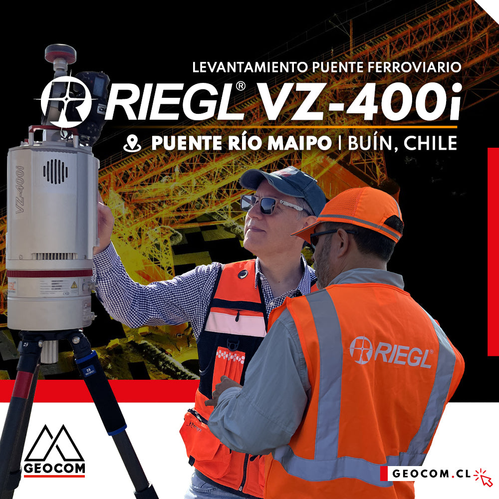
LiDAR RIEGL | Railway Bridge Survey
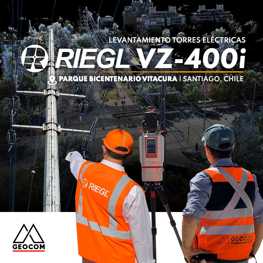
RIEGL LiDAR | Urban Infrastructure – Electrical Transmission Towers
Electrical transmission systems, visible as high-voltage lines manifested by overhead conductors on towers, leave their mark on the territory, materially shaping public spaces.
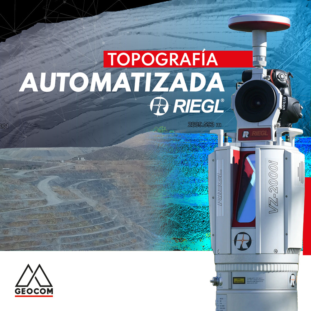
Automated Topography | RIEGL LiDAR
The importance of acquiring data remotely is a requirement established in mining projects, where knowing the topography at different periods or daily is a starting point for a series of analyses, projections, planning, and controls in the mining district.
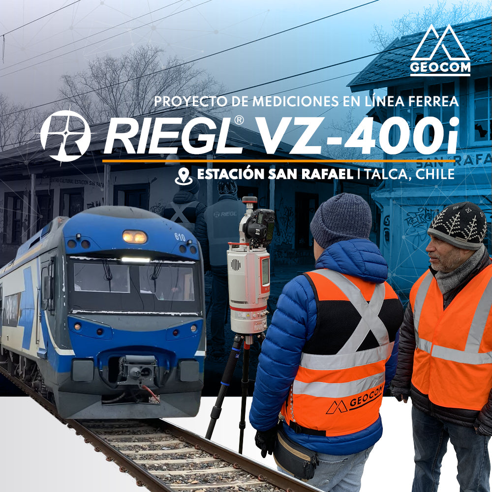
RIEGL LiDAR | San Rafael Station Railway Infrastructure
We invite you to review this project in more detail and see how accessible it is to use this RIEGL LiDAR capture technique, along with well-established workflows from point cloud capture to the generation of various deliverables.
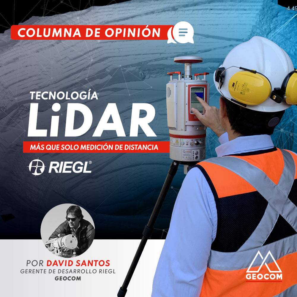
OPINION COLUMN | LiDAR Technology: More Than Just Distance Measurement
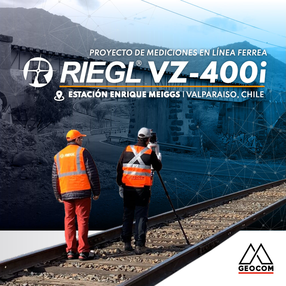
RIEGL VZ-400i | Railway Line Measurement Project
Survey of a railway station, which was part of the Santiago-Valparaíso line of the State Railway Company, using RIEGL VZ-400i equipment.