

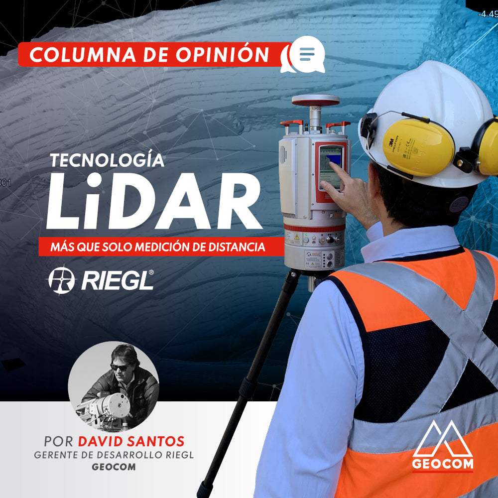

More than 10 years ago, RIEGL provided us with a terrestrial LiDAR unit that measured up to 2000m with recording rates of up to 8,000 points per second using the Time-of-Flight or Waveform technique, which is used in all its LiDAR equipment: "Individual pulses that allow obtaining information at greater distances, that can detect small objects, and that can also provide us with a Point Cloud with Attributes." As Claudio Avello, RIEGL's Regional LatAm Manager, explained in a previously published column.
Then, between 2012 and 2014, RIEGL introduced the VZ-4000 / VZ-6000 and VZ-2000 units, which could scan up to 4000m / 6000m and 2000m distances respectively, with higher capture rates than those known in their previous equipment. Undoubtedly, this generated significant progress in the technological development of the LiDAR capture techniques existing at that time.
To achieve these distances at higher capture rates, RIEGL took the next step in LiDAR captures by developing a patented technique called MTA (Multiple Time Around). RIEGL developed powerful and stable algorithms to resolve the ambiguity presented by MTA situations. This is done using the RiMTA module found in the RiSCAN PRO software.
What this MTA arrangement solves is the following. When terrestrial RIEGL LiDAR equipment performs a capture in the field, and when identifying the repetition frequency of the laser pulse, they perform an evaluation regarding the distance to an object. If, at the moment of identifying these pulses, one or more laser pulses are emitted before the echo reaches the laser scanner, the distance becomes ambiguous, meaning the echoes are not assigned to their corresponding laser pulses. This ambiguity is very well identified in the digital data received and packaged in the raw file format stored in the laser scanner. This process of identifying these ambiguities and performing the appropriate treatment of the pulses and their corresponding distance result is due to the RiMTA algorithm, which, since version 2.5 of RiSCAN PRO, is part of the raw data processing engine, and this calculation is performed automatically, effectively, and accurately.
One example we can use is the following. If we need to measure an object at a distance of 2 km, the light pulse needs to travel 4 km; 2 km to the object and 2 km back. With this in mind, let's consider a typical scenario: a VZ-4000 is measuring a slope at a distance of 3 km at a laser pulse repetition rate (PRR) of 150 kHz. With a pulse repetition frequency of 150 kHz, a pulse is transmitted every 1/150,000 of a second, which, at the speed of light (299,792,458 m/s), is equivalent to almost 2 km. Therefore, it can be understood that each transmitted pulse is almost 2 km away when the next pulse is fired. However, the goal is for each pulse to echo off a surface and return to the instrument. With this in mind, each pulse can travel only 1 km from the instrument and then 1 km back before the next pulse is transmitted. This means that the maximum measurable range between each pulse (@50kHz) is 1 km. This is the so-called "MTA Zone." If this pulse does not return to the instrument before a second pulse is transmitted, there is a condition called Multiple Time Around, or MTA. In the MTA condition, multiple pulses are "in the air" simultaneously.
This is what happens with traditional TLS systems that do not use this MTA technique, as the echoes from each pulse are returned to the scanner before the next pulse is transmitted, making the association between pulse and echo very simple. But the interesting thing is to resolve conditions of multiple pulses in the air, for example, when there is a lot of pollution in the mining or industrial sector, or in the case of forestry, to correctly identify these ambiguities and, in turn, to be able to work with up to 15 echoes, as the latest series of RIEGL Terrestrial LiDAR equipment, the VZ-400i and VZ-2000i, do.
These various challenges present in our daily work, whether due to long distances common in mining pits or in industrial or forestry applications, and due to demanding conditions such as existing pollution and, in the case of forestry, the dense foliage of vegetation, we have adequate technology that solves these types of challenges and ambiguities, hand in hand with RIEGL technology.
Written by: David Santos - RIEGL Geocom Development Manager

Compartir:
Topographic representation of the adduction tunnel | Part 1
Geomonitoring, precision, and automated integration