News

Topografía Automatizada | LiDAR RIEGL

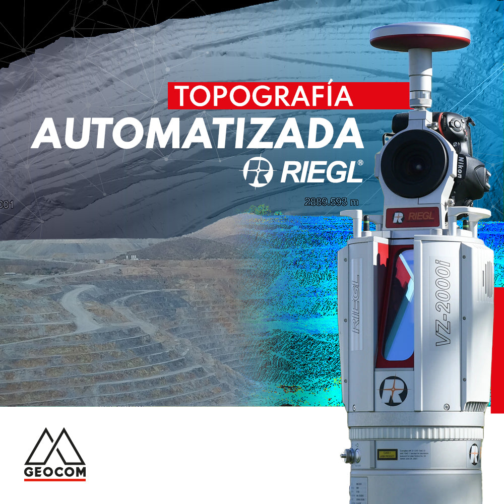
Automated Topography | RIEGL LiDAR

The importance of acquiring data remotely is a requirement established in mining projects, where knowing the topography at different periods or daily is a starting point for a series of analyses, projections, planning, and controls in the mining district.

Read more

Representación topográfica túnel de aducción | Parte 2

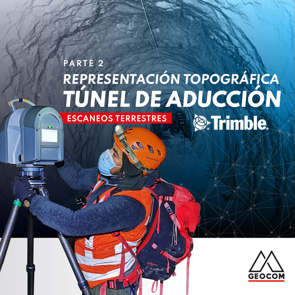
Topographic Representation of the Adduction Tunnel | Part 2

In this second part of the experience with Rumbos Geomensura, we will show the laser scanning process carried out in the field, as well as the handling of the point cloud to go from isolated scan positions to a registered and correctly georeferenced point cloud to obtain final products that represent the existing geometry.

Read more

PERFILES RÁPIDOS CON TRIMBLE BUSINESS CENTER v5.50

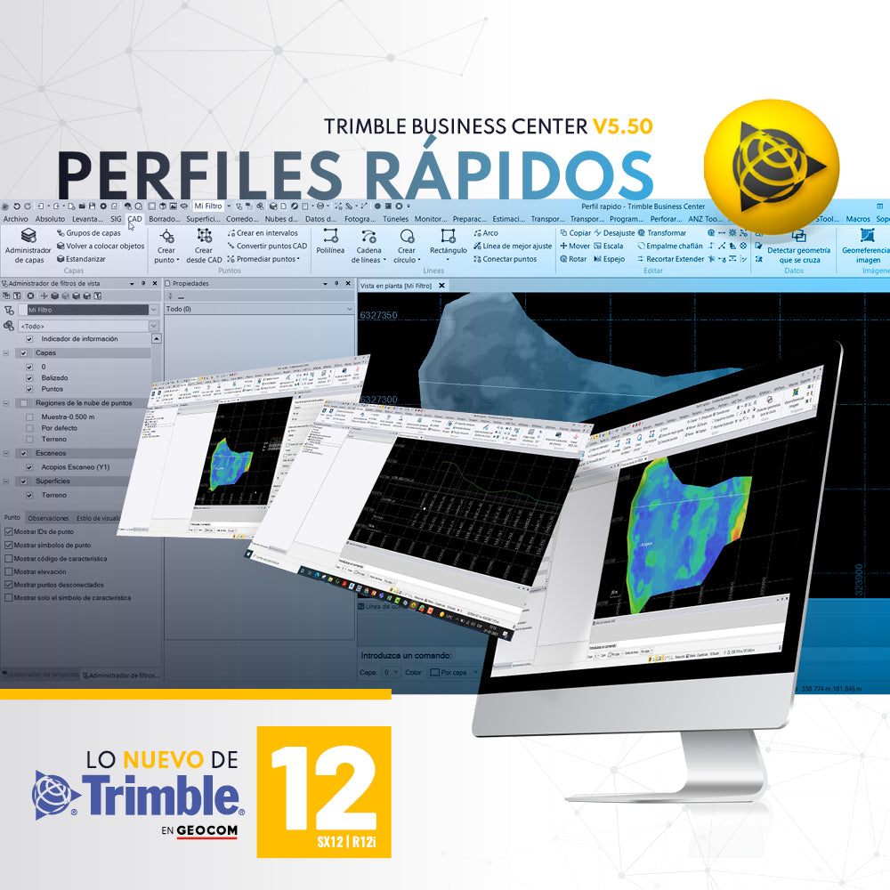
QUICK PROFILES WITH TRIMBLE BUSINESS CENTER v5.50

A required tool in any software associated with topography is the ability to generate quick profiles that are exportable, informative, or necessary for creating reports or plans.

Read more

Topografía integrada

Integrated topography

Integrated surveying is a methodology that combines satellite observation from Trimble R12i with terrestrial observation from SX12 in a common free station, which offers great flexibility when setting up the scanning total station.

Read more

Trimble X7 | Inspección 3D

Trimble X7 | 3D Inspection

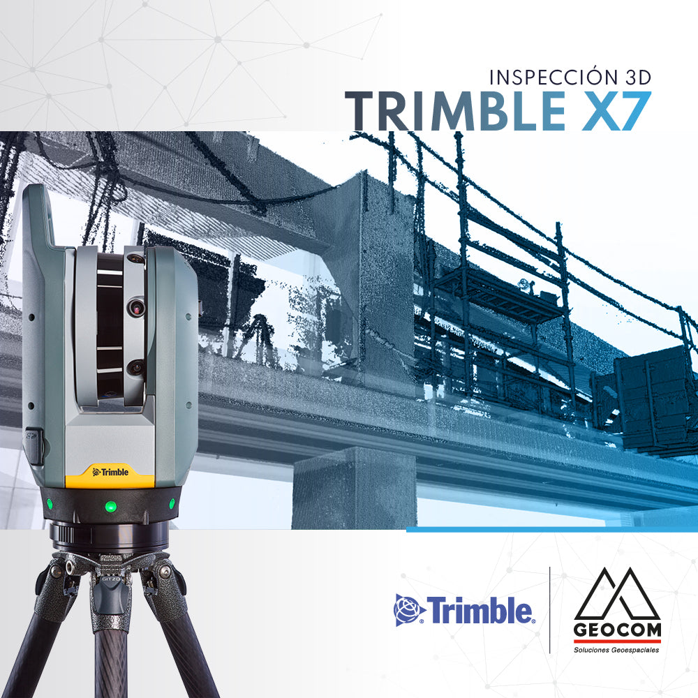
Topographical deviations and deformations in the on-site execution of designs are common in the construction industry. These problems are often detected late, directly affecting the project schedule, quality, and costs.

Read more

Ajuste de redes observadas con GNSS RTK

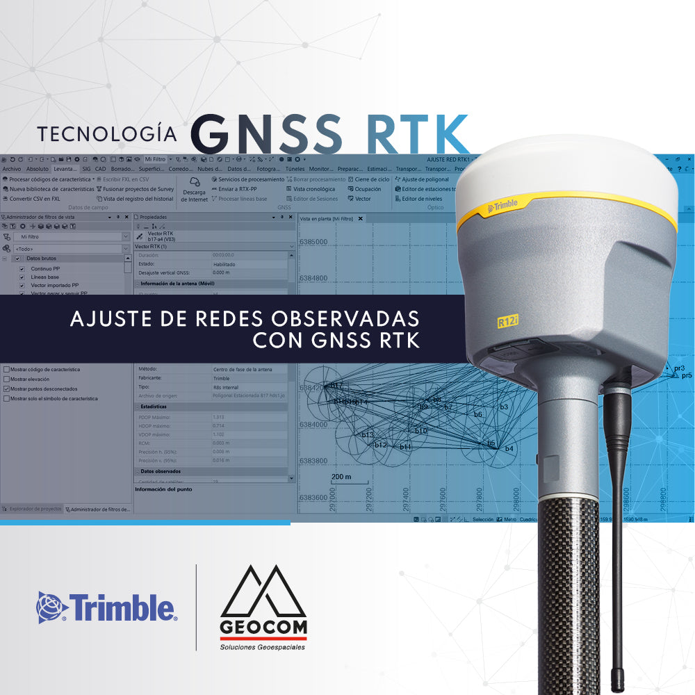
Adjustment of Observed GNSS RTK Networks

The use of GNSS RTK observation techniques for geodetic networks is underexplored. The most commonly used observation method is Static.

Read more

Trimble TCU5

Trimble TCU5

The Trimble TCU5 controller is powerful hardware for Trimble S-series total stations.

Read more