

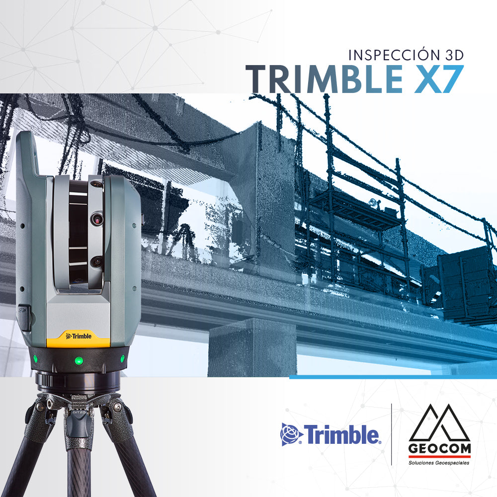

It is common in the construction industry for there to be topographic deviations and deformations in the on-site realization of the design. These problems are often detected late, directly affecting the project's schedule, quality, and costs.
As-built models of the work, quality control, fit analysis, inspection of flatness, horizontality, and verticality are some of the geospatial tools to improve and optimize the construction process.
The Trimble X7 scanner significantly increases field and office productivity, thanks to high-speed scanning, on-site registration and georeferencing, high-resolution image capture, and the ability to view scans in detail on site. This, complemented by the Trimble Realworks processing software, allows for massive analysis of work progress by comparing the design model (IFC) and the collected point cloud.
Compartir:
RIEGL | International Virtual Conference Day
senseFly eBee X flies in Laguna del Maule