

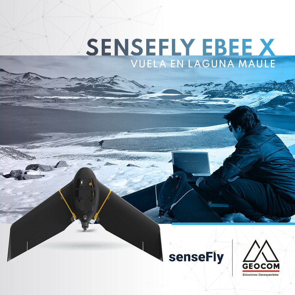

GEOCOM carried out an extensive survey with its fixed-wing system senseFly eBee X in the volcanic complex Laguna del Maule. The objective of the photogrammetric survey was to complement a multidisciplinary study that seeks to update the topography of the lagoon and its surroundings, an area that is currently in the public eye due to the activity of the volcanic complex and the series of earthquakes that are occurring.
One of the great potentials of the eBee X system is its high productivity, which allows for surveying large areas in a single flight (up to 500 ha in 90 minutes), making it the ideal equipment for surveys in extensive and inaccessible areas like those of this location, allowing for a GCP-free, reliable, safe, and monitored flight at all times thanks to its radial range of up to 8 km.
As photogrammetric products, a high-resolution orthophoto was obtained; a textured 3D surface and a point cloud of the edge of the lagoon, which will serve as a complement to a bathymetric survey that will record the relief of the bottom of the Laguna del Maule.
Compartir:
Trimble X7 | 3D Inspection
Settop M1 | Communication device for total station monitoring