

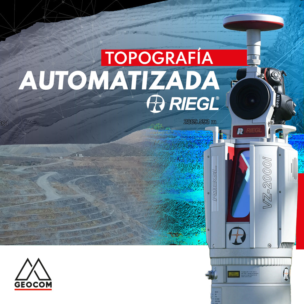

Current requirements in all types of projects go hand in hand with obtaining highly representative and precise topographic data to project, plan, and evaluate project execution, such as, for example, PITs in mining. Here, it is necessary to know the progress of a phase under development daily to evaluate different conditions: quantification of extracted material, plan compliance, reconciliation, among others, where the existing topographic condition is crucial for obtaining indicators in each of these evaluation lines.
Therefore, the importance of acquiring data remotely, understanding the existence of an automated process of statements and commands executing simultaneously, in defined time periods or on demand, is an established requirement in mining projects. Here, knowing its topography in different time periods or daily is a starting point for a series of analyses, projections, planning, and controls in the mining district, especially in the mining pit in its different extraction zones, as well as in dumps, tailings dams, and critical areas, among others, where precise topographic spatial control is required.

Fig 1. VZ-4000 in a mining project in Calama city
We capture the reality of the project in a defined time using RIEGL LiDAR sensors, which offer a wide range of possibilities to efficiently and accurately tackle projects with different characteristics. Through powerful technology, RIEGL employs waveform for the massive point cloud capture process, coupled with advanced digital signal processing at its core, to deliver high-end LiDAR performance, including unique methods for resolving distance ambiguities (MTA), allowing the acquisition of multiple calibrated returns and reflectivity estimation for targets in each measurement.
We currently have technology that allows for various queries and direct results in the field. With the incorporation of the RIEGL VZ-i series, in its models VZ-400i (measurements up to 800m) and VZ-2000i (measurements up to 2500m), which feature a computer that optimizes capture times and rates, and in parallel, a second onboard computer that allows tasks to be performed simultaneously with capture; for example, recording scan positions as they are made, achieving all scans recorded in project coordinates upon completion of capture, optimizing processing times. For ultra-long distance projects, RIEGL offers the LiDAR VZ-4000 sensor, achieving point cloud captures up to 4000m.

Fig 2. Connectivity - network structure diagram
In addition, there are RIEGL-developed APPs that run in real-time and within the same VZ-i, applications to deliver results in critical tasks such as slope control using the Monitoring application, as well as the comparison analysis of over- or under-excavation areas with respect to the project, for wall compliance, using the Design Comparison application, which provide tools for on-site decision-making.

Fig 3. APPs for Mining | https://youtu.be/HE-Fz6ddATc
The correct placement of these RIEGL LiDAR sensors in strategic locations within the project or mining district is necessary to cover a high percentage of the study areas. For semi-permanent and permanent installations, we have everything necessary in terms of programming, management of captured data, connectivity, and workflows to enable scheduled captures at defined intervals or on demand, in the required work areas, and with a spatial representativeness or resolution consistent with the data needed for subsequent analyses.

Fig 4. Permanent installation for RIEGL VZ-2000i with APPs for Mining

Fig 5. Permanent RIEGL VZ installation. Appropriate crystals and arrangement for correct measurement.
At GEOCOM, we have established and flexible developments and workflows, focused on this requirement, where the acquisition flow of RIEGL LiDAR data is automated through routines, programming, and high-performance hardware, for its deployment in strategic locations to acquire LiDAR data for subsequent analysis and evaluation.
Technology is advancing rapidly, along with existing challenges. Automation in Topographic capture is an essential requirement to ensure continuity and optimize tasks. In this line of action, we have important developments from manufacturers, where RIEGL has its sensors ready to take on such a challenge. And it is our task to deliver and propose this technology for each of your requirements and projects.


Compartir:
Case 3 Trimble R12i | Overpass Survey
Trimble X7 | Construction geometric control