

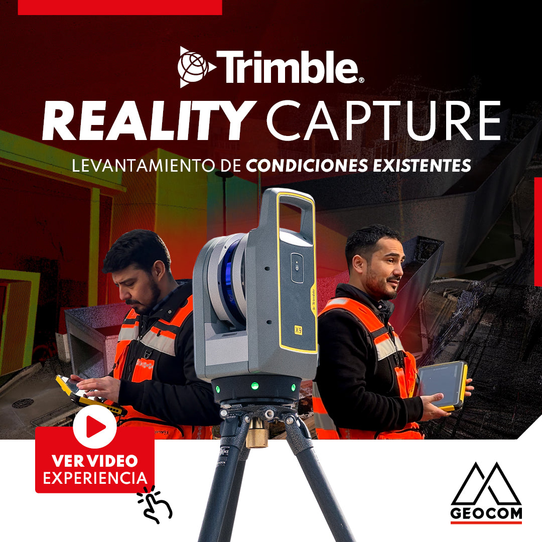
Trimble Reality Capture: Existing conditions survey
![Reality Capture en edificación: [CAP.1] Modelamiento 3D “As built”](http://www.geocom.cl/cdn/shop/articles/post_Reality_capture_capitulo1.jpg?v=1715096235&width=1080)
Reality Capture in building: [CH.1] "As-built" 3D modeling
In this experience, we immersed ourselves in the Trimble Reality Capture workflow to generate an "As-built" 3D model of a 5-story building with 2 underground levels.
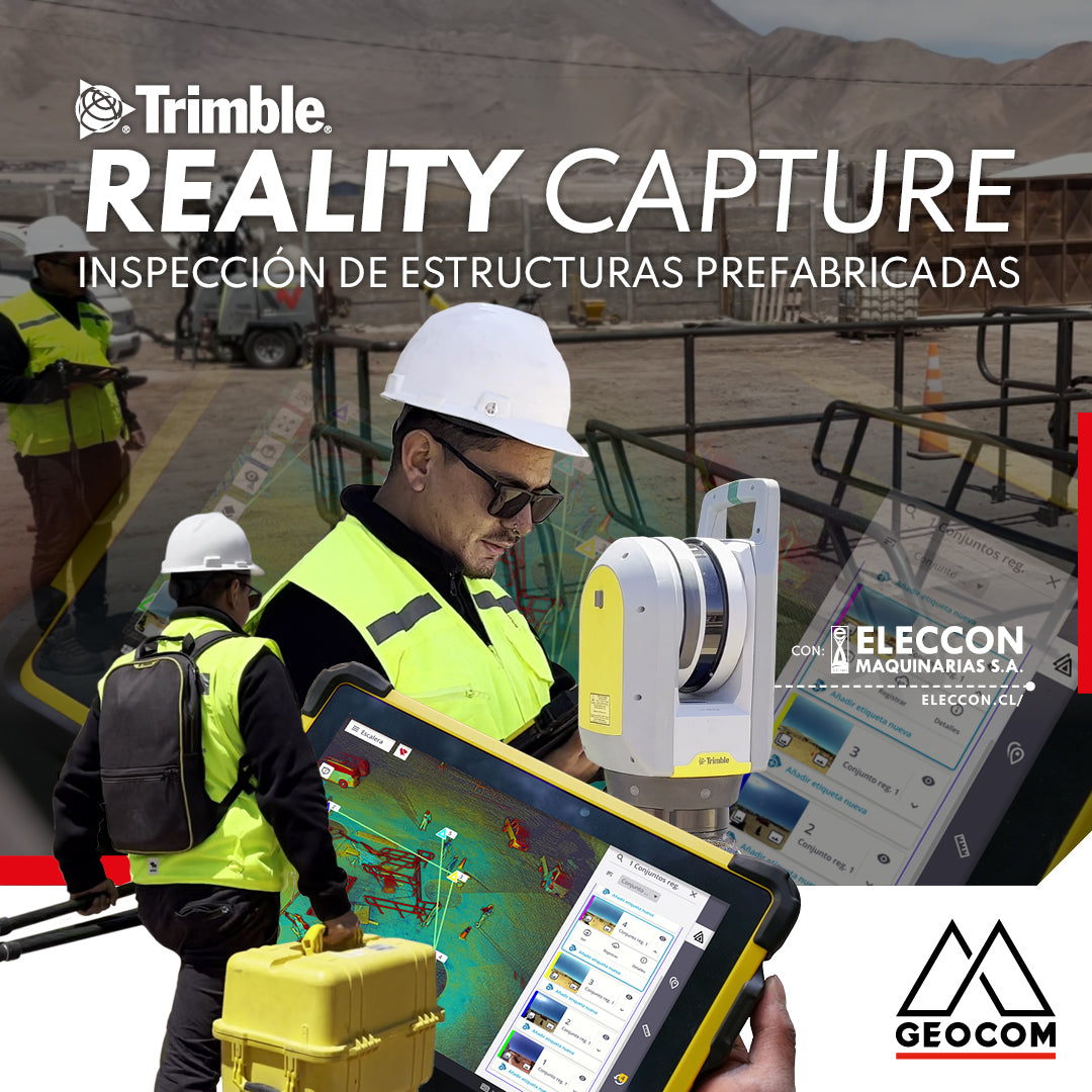
Trimble Reality Capture: Prefabricated Structure Inspection
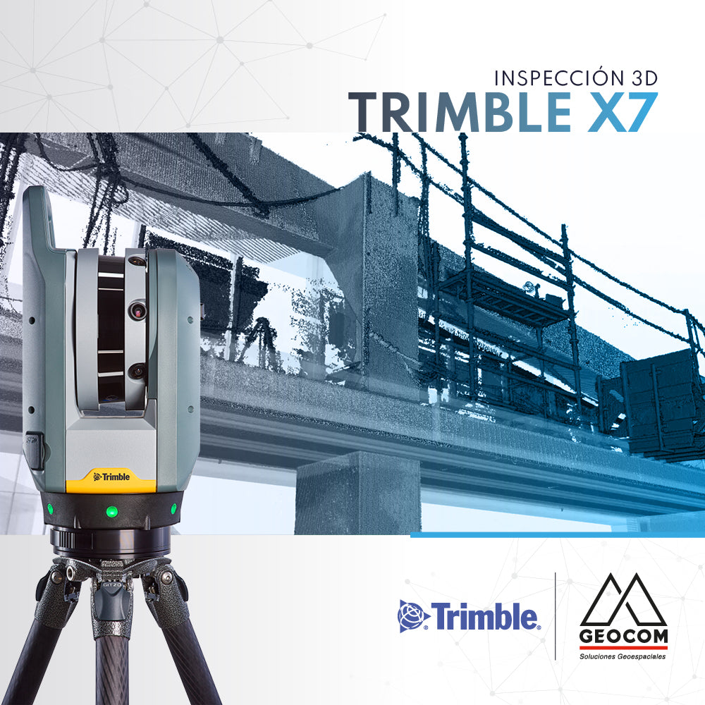
Enriching the inspection process of prefabricated structures destined for mining operations, our friends at Eleccon Maquinarias share their workflow. This is based on the use of Reality Capture tools, such as the Trimble X7 laser scanner, Trimble Realworks processing software, and the Trimble Connect collaboration platform.

Trimble Reality Capture: TK Pond Inspection and Validation.
The project began with a detailed survey of the terrain and the TK pond. To ensure accuracy and compliance with required standards, the Trimble X7 scanner was used on-site. This equipment allowed for the capture of precise and detailed data of the pond, ensuring that every aspect was evaluated with the utmost accuracy.
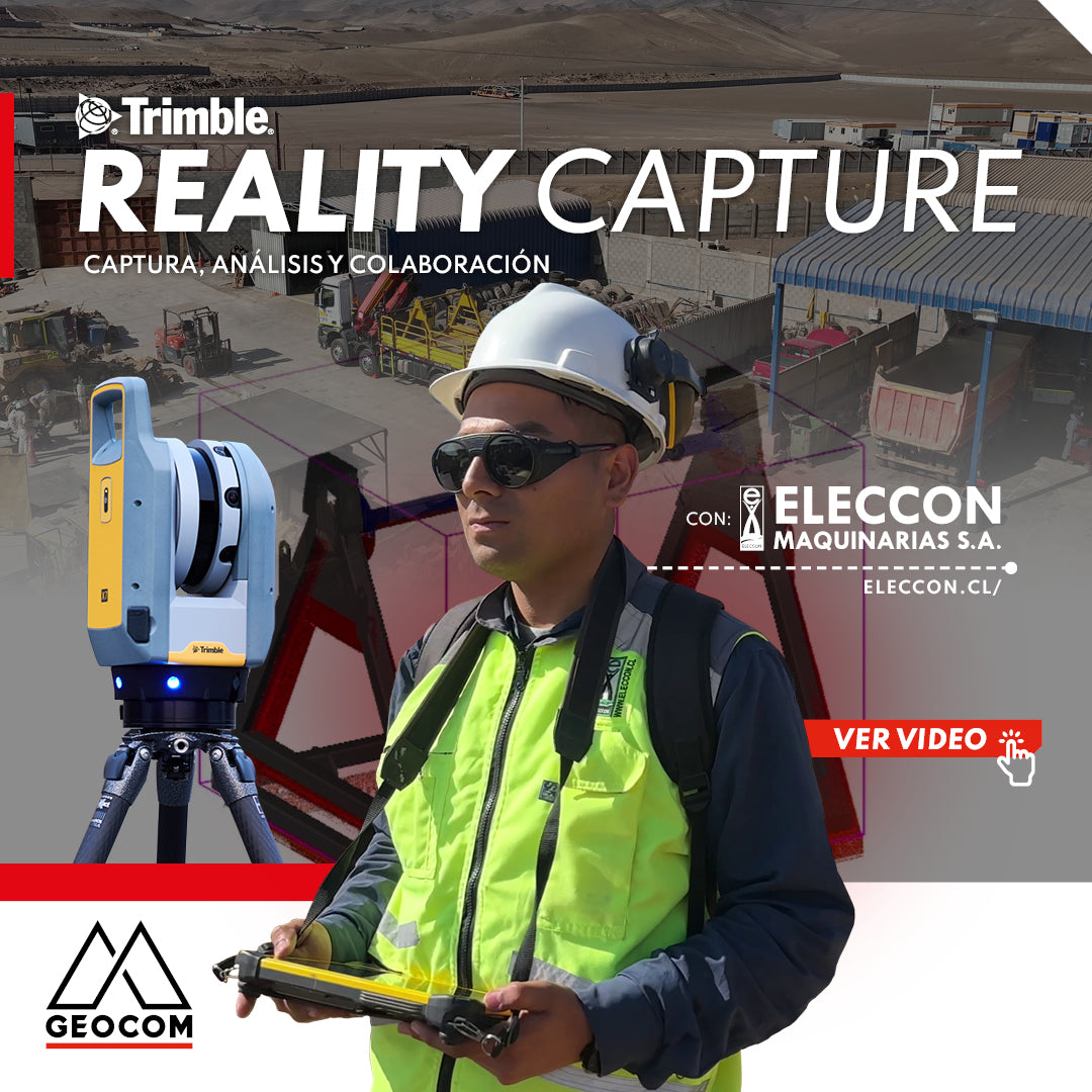
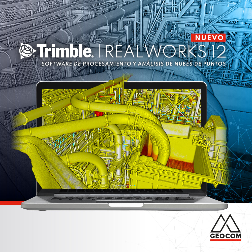
Trimble Reality Capture: Capture, Analysis, and Collaboration Vol. 2
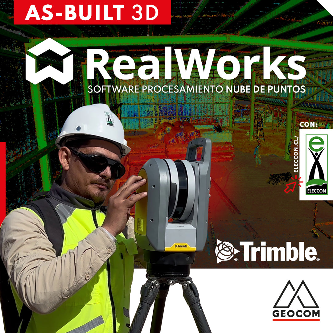
Trimble RealWorks | As-Built 3D
On this occasion, our friends from Eleccon Maquinarias show us the process they follow to digitize an existing structure using Trimble X7 laser scans and subsequently create a 3D model with Trimble Realworks software.
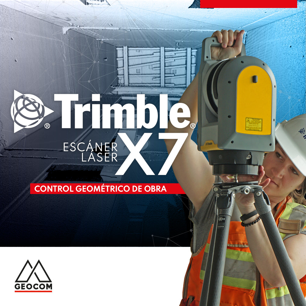
Trimble X7 | Construction geometric control
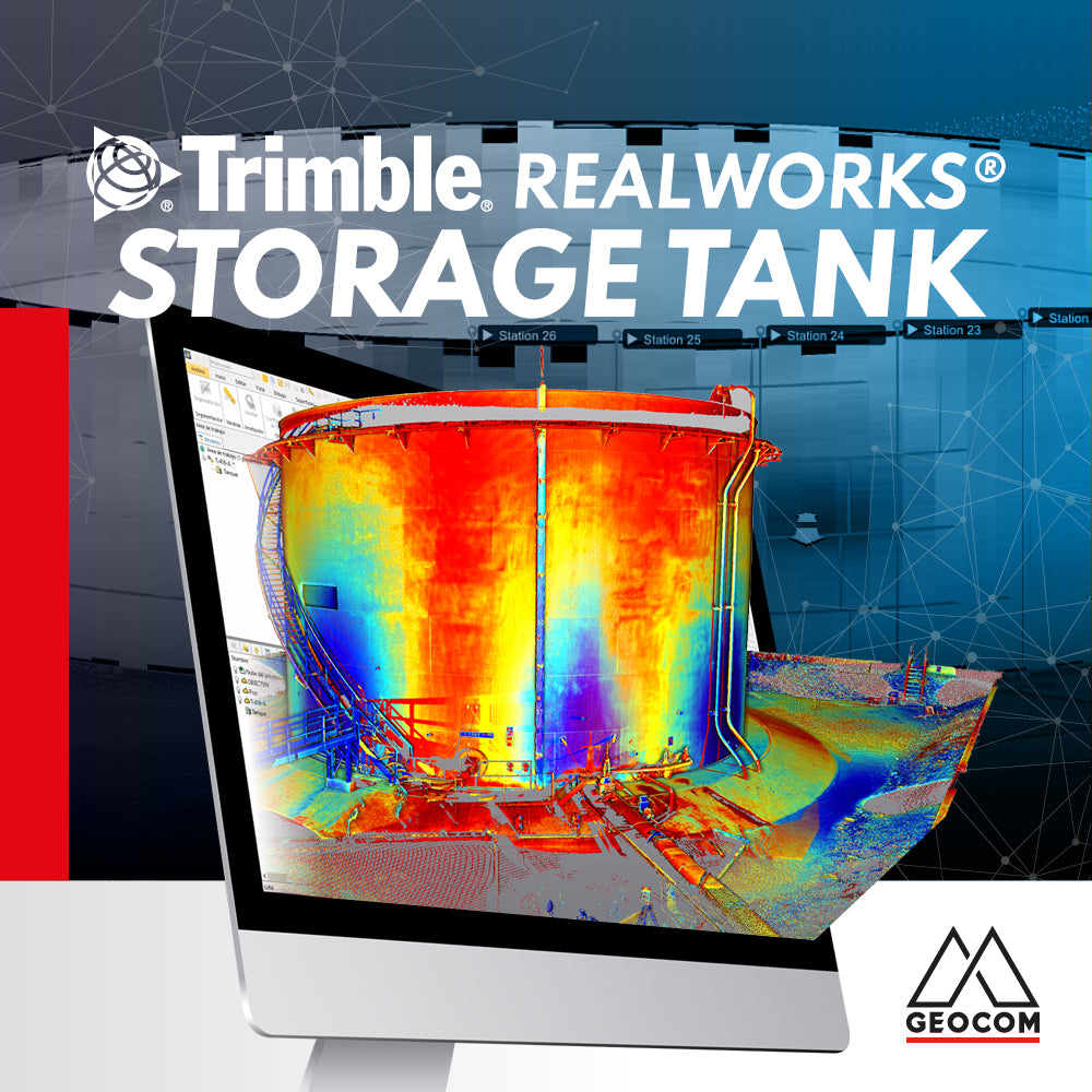
Trimble RealWorks Storage Tank
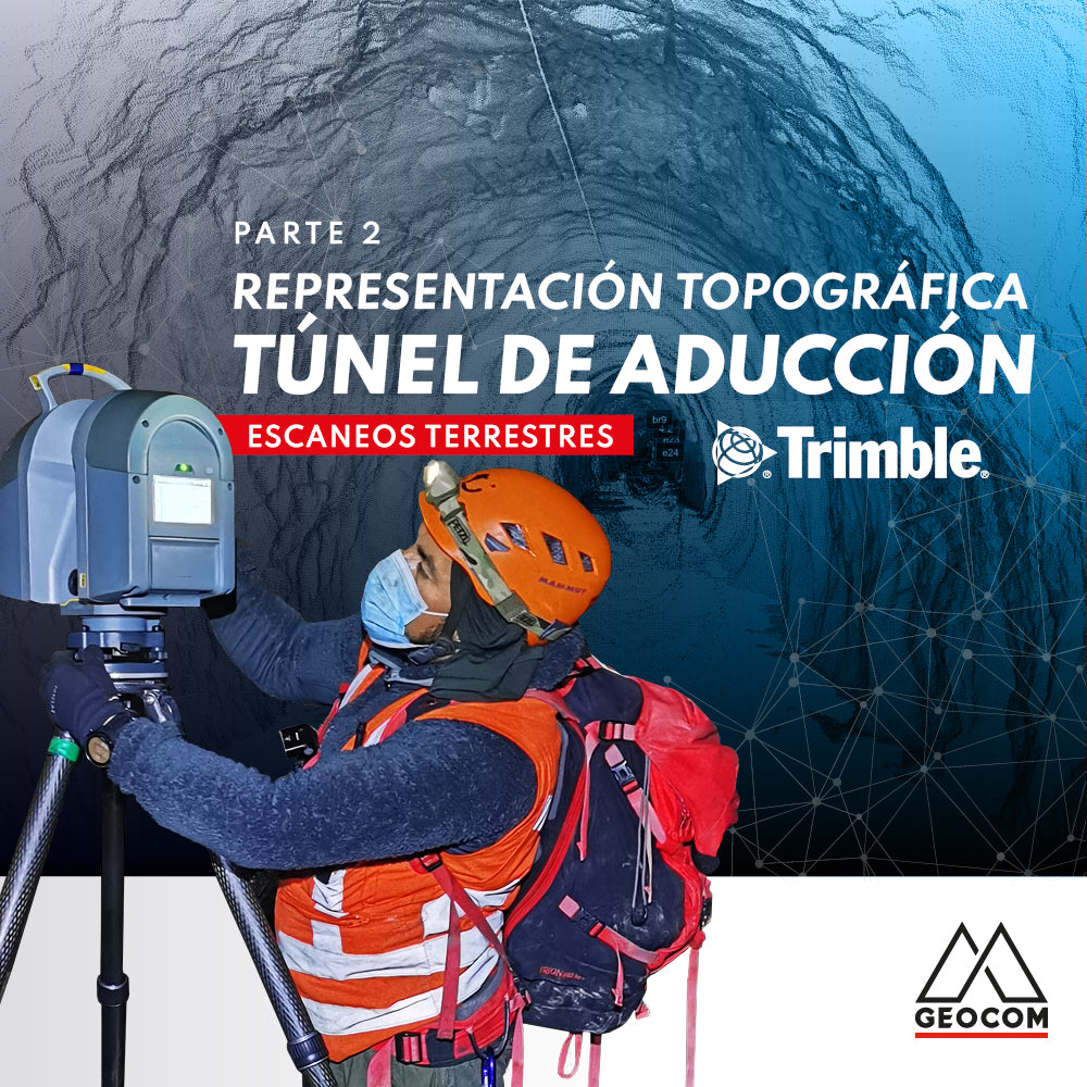
Topographic Representation of the Adduction Tunnel | Part 2
In this second part of the experience with Rumbos Geomensura, we will show the laser scanning process carried out in the field, as well as the handling of the point cloud to go from isolated scan positions to a registered and correctly georeferenced point cloud to obtain final products that represent the existing geometry.
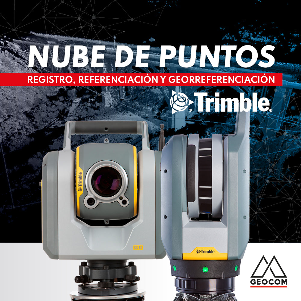
Point cloud: REGISTRATION, REFERENCING, AND GEOREFERENCING
Point clouds represent reality in three dimensions with high representativeness. Depending on the sensor's capabilities and the measurement conditions, the resulting cloud can vary in resolution and accuracy.
Topographical deviations and deformations in the on-site execution of designs are common in the construction industry. These problems are often detected late, directly affecting the project schedule, quality, and costs.
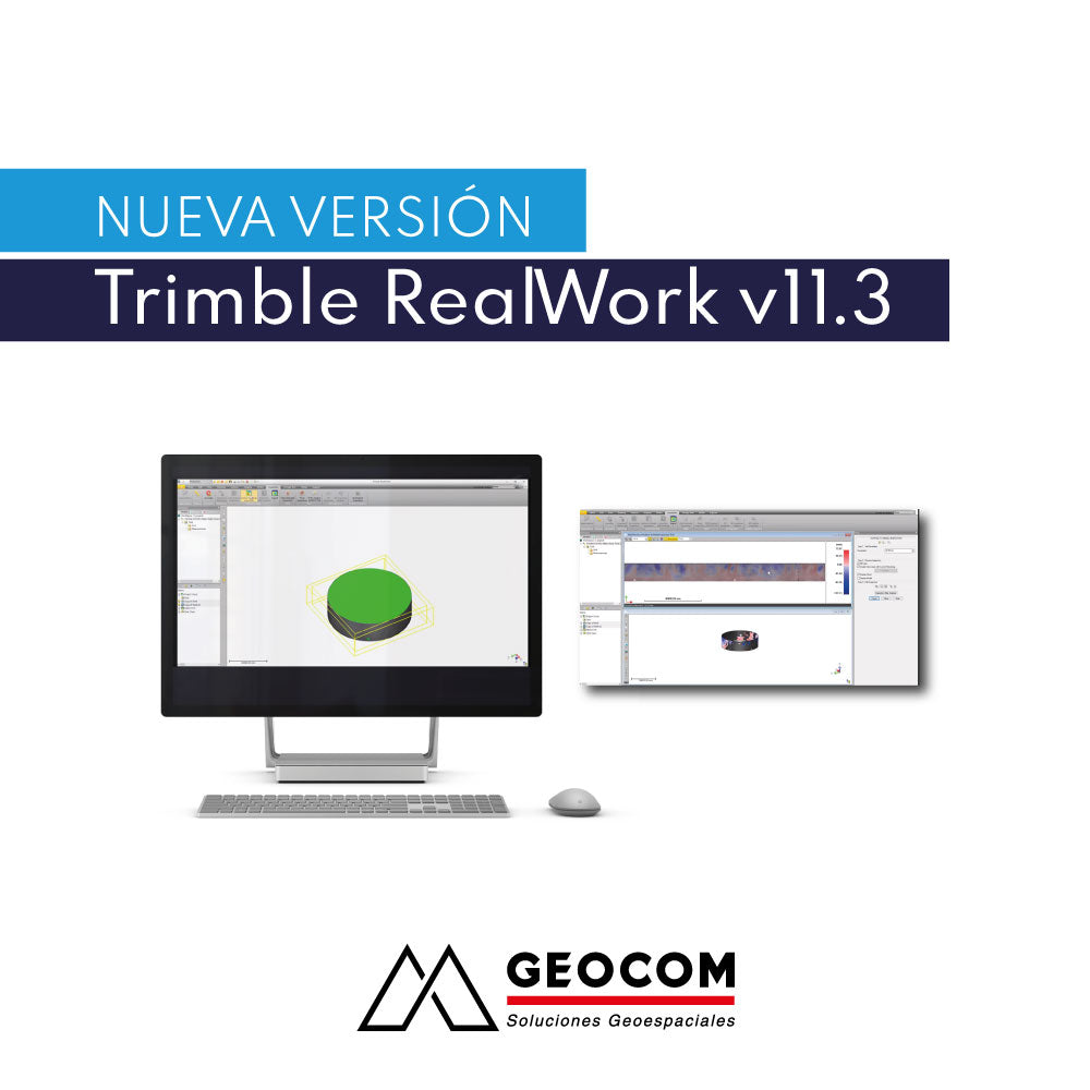
New Trimble RealWorks v11.3 Release