

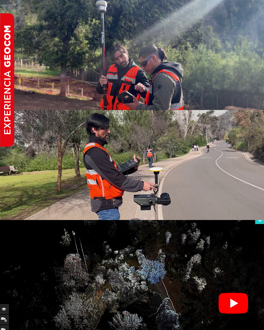
SLAM Technology in action: A real experience in the Metropolitan Park
In this video, we will show you an experiment carried out in Met Park, with the aim of obtaining a georeferenced point cloud using SLAM Exyn Nexys technology.
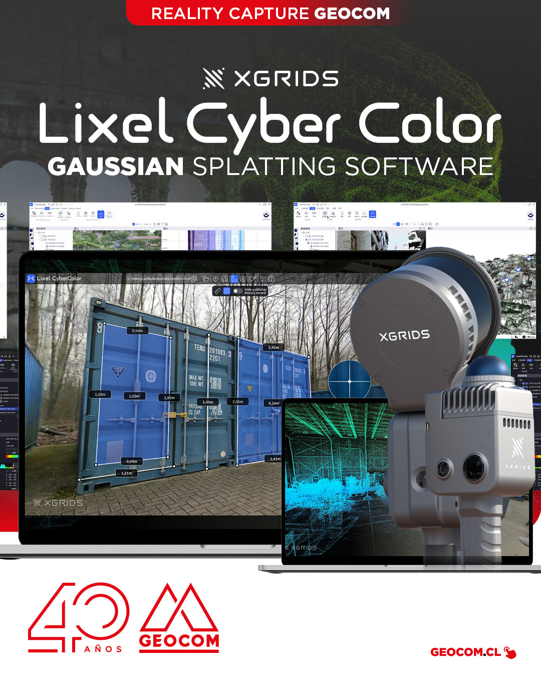
XGRIDS, a pioneer in geospatial intelligence and 3D perception technology, has officially launched the commercial version of Lixel CyberColor Studio v1.7.0 (LCC).
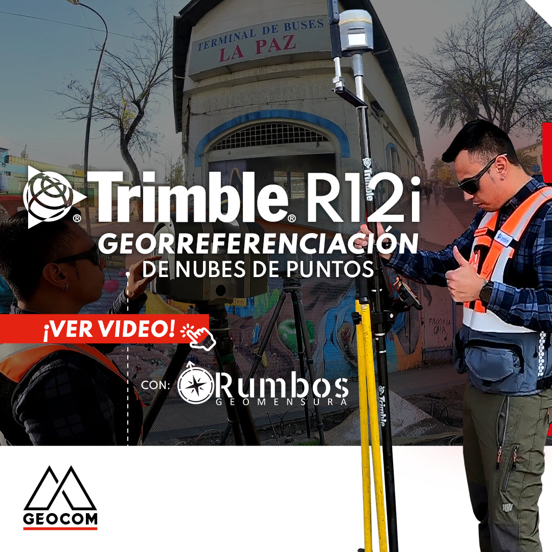
Point Cloud Georeferencing | Trimble R12i
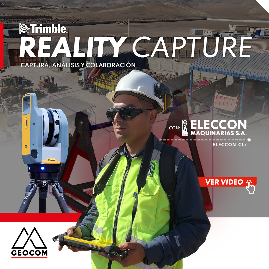
Trimble Reality Capture: Capture, Analysis, and Collaboration Vol. 2
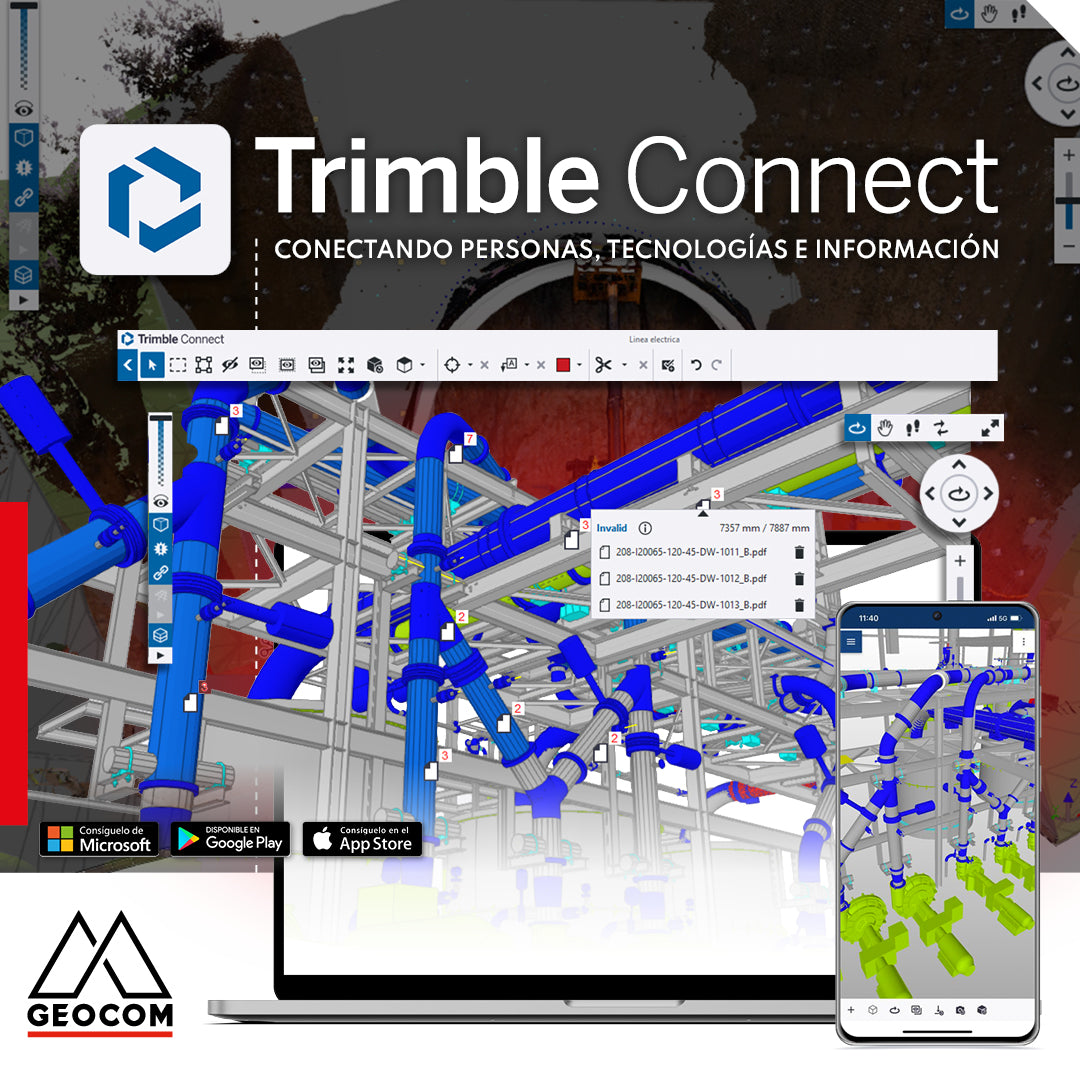
Trimble Connect: Connecting people, technologies, and information
In a world driven by digitalization, effective collaboration and project management are essential. That's why Geocom introduces the Trimble Connect common data environment, the solution that connects people, technologies, and information.
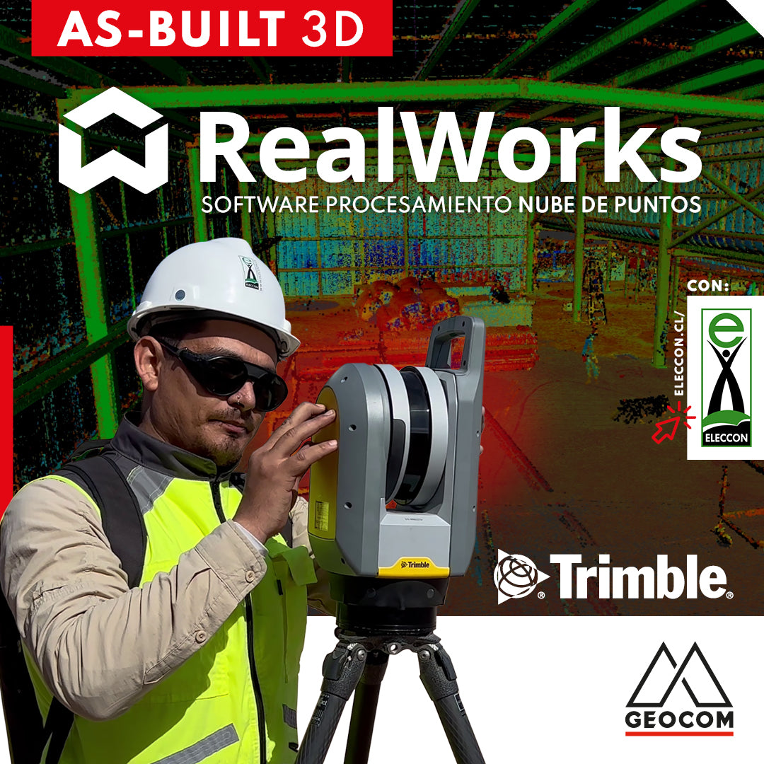
Trimble RealWorks | As-Built 3D
On this occasion, our friends from Eleccon Maquinarias show us the process they follow to digitize an existing structure using Trimble X7 laser scans and subsequently create a 3D model with Trimble Realworks software.
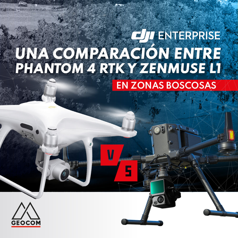
A comparison between Phantom 4 RTK and Zenmuse L1 in wooded areas
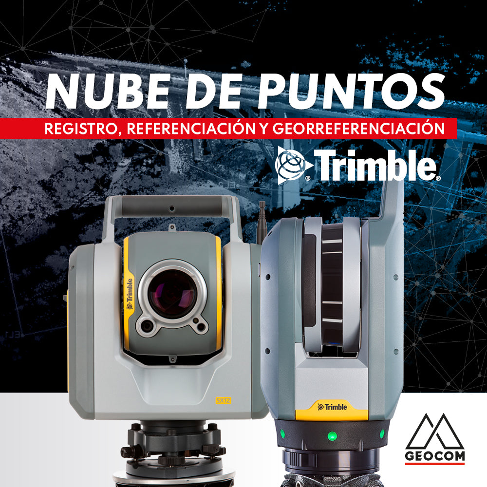
Point cloud: REGISTRATION, REFERENCING, AND GEOREFERENCING
Point clouds represent reality in three dimensions with high representativeness. Depending on the sensor's capabilities and the measurement conditions, the resulting cloud can vary in resolution and accuracy.