

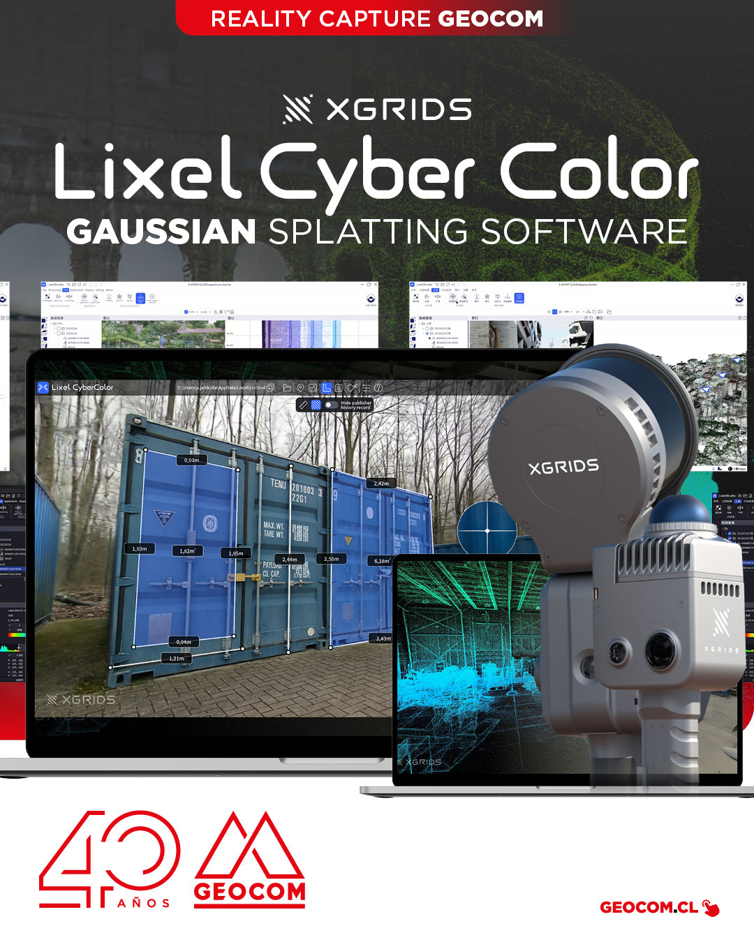

XGRIDS presents LCC: Pioneering Multi-SLAM-based Gaussian Splatting software for rapid and photorealistic 3D environment creation
Leader in intelligent geospatial data processing offers advanced multi-SLAM 3D capture and visualization solution with specific modules for different industries
XGRIDS, a pioneer in geospatial intelligence and 3D perception technology, has officially launched the commercial version of Lixel CyberColor Studio v1.7.0 (LCC). This enterprise-grade technology transforms how organizations capture, process, and utilize spatial data across multiple industries, combining innovative 3D Gaussian Splatting with multi-SLAM technology.
The LCC solution represents a significant advancement in geospatial processing capabilities, enabling companies to connect physical and digital environments with unprecedented precision and efficiency. By integrating LiDAR and visual data from Lixel series scanners, XGRIDS enables the rapid creation of measurable, interactive, and photorealistic digital twins that provide actionable spatial intelligence for decision-making and visualization.
"With LCC Studio, we are democratizing access to advanced spatial computing tools that were previously only available to specialized technical teams," said Kaiyong Zhao, CEO of XGRIDS. "Our technology transforms raw spatial data into intelligent digital environments that can be analyzed, measured, navigated, and shared across organizations, creating new possibilities for collaboration and insight."

Industry-specific solutions
The LCC platform offers comprehensive solutions for eight key sectors:
- Architecture and Construction: Detailed as-built documentation with precise measurement capabilities.
- Real Estate: Immersive virtual property tours with interactive notes and seamless transitions between spaces.
- Industrial Digitalization: Complete digital twins for operational efficiency.
- Facility Inspection: Detailed documentation for maintenance planning and regulatory compliance.
- Robotics and Embedded AI: Geospatial intelligence for navigation and environmental awareness.
- Cultural Heritage: High-fidelity preservation and virtual access to historical sites.
- Entertainment and Video Games: Realistic environmental assets for production.
- Education: Immersive learning environments with spatial context.

Technical Advances
LCC Studio v1.7.0 maintains XGRIDS' commitment to efficiency through its proprietary SLAM-based 3D Gaussian Splatting technology, which significantly outperforms traditional approaches:
- Rapid Processing: Converts 10 minutes of scan data into complete 3D models in approximately 100 minutes, fully automatically.
- Storage Efficiency: Output files require up to 12% of the storage compared to equivalent technologies.
- Improved Measurement: The new Pro Measurements feature provides accurate displacement distances and higher precision.
- Advanced Map Fusion: Automated stitching of multiple data segments into coherent large-scale environments, including the ability to seamlessly combine aerial drone imagery with ground-based spatial camera data for comprehensive top-down environmental capture without sacrificing detail.
- Effortless Publishing: Cloud-based management of published links with custom URLs and access control.

More information? Sign up for our webinar
Next Thursday, April 17, starting at 11:00 am (GMT-4), don't miss the GEOCOM WEBINAR: An Introduction to Multi-SLAM and Gaussian Splatting, where we will explore innovative technologies that are transforming 3D capture and reconstruction. Discover how AI developed by XGRIDS powers the combination of Multi-SLAM and Gaussian Splatting, enabling high-precision point clouds and photorealistic 3D models in applications such as infrastructure, tunnels, heritage, combination with topographic representations made with drones, volumetric calculations, and much more.
Compartir:
GEOCOM to present cutting-edge technology at EXPOMIN 2025
WEBINAR GEOCOM | Smart Aerial Inspection with SkyVisor