

![[ANTOFAGASTA] Noche Geoespacial | Reality Capture](http://www.geocom.cl/cdn/shop/articles/post_ig_EVENTO_RealityCapture_Antofagasta.jpg?v=1746721704&width=1080)
[ANTOFAGASTA] Geospatial Night | Reality Capture
TUESDAY, MAY 27 | 7:00 PM TO 10:00 PM | HOTEL TERRADO ANTOFAGASTA
In this Geocom Geospatial Night, we will address 4 areas of Reality Capture:
Metrology, High Precision, Multi-SLAM, and Industrial Inspection.
![Representación topográfica en TBC [01 CICLO TBC]](http://www.geocom.cl/cdn/shop/articles/post_ig_ciclo_TBC1_47d4cfed-4ef8-4b97-9369-3526de5313c6.jpg?v=1746040063&width=1080)
Topographic Representation in TBC [01 TBC CYCLE]
PUBLICATION 01 | TBC CYCLE | GEOCOM Engineering
TBC allows for a convenient combination of geospatial observation techniques with the goal of delivering results obtained under a single platform, optimizing the office workflow.
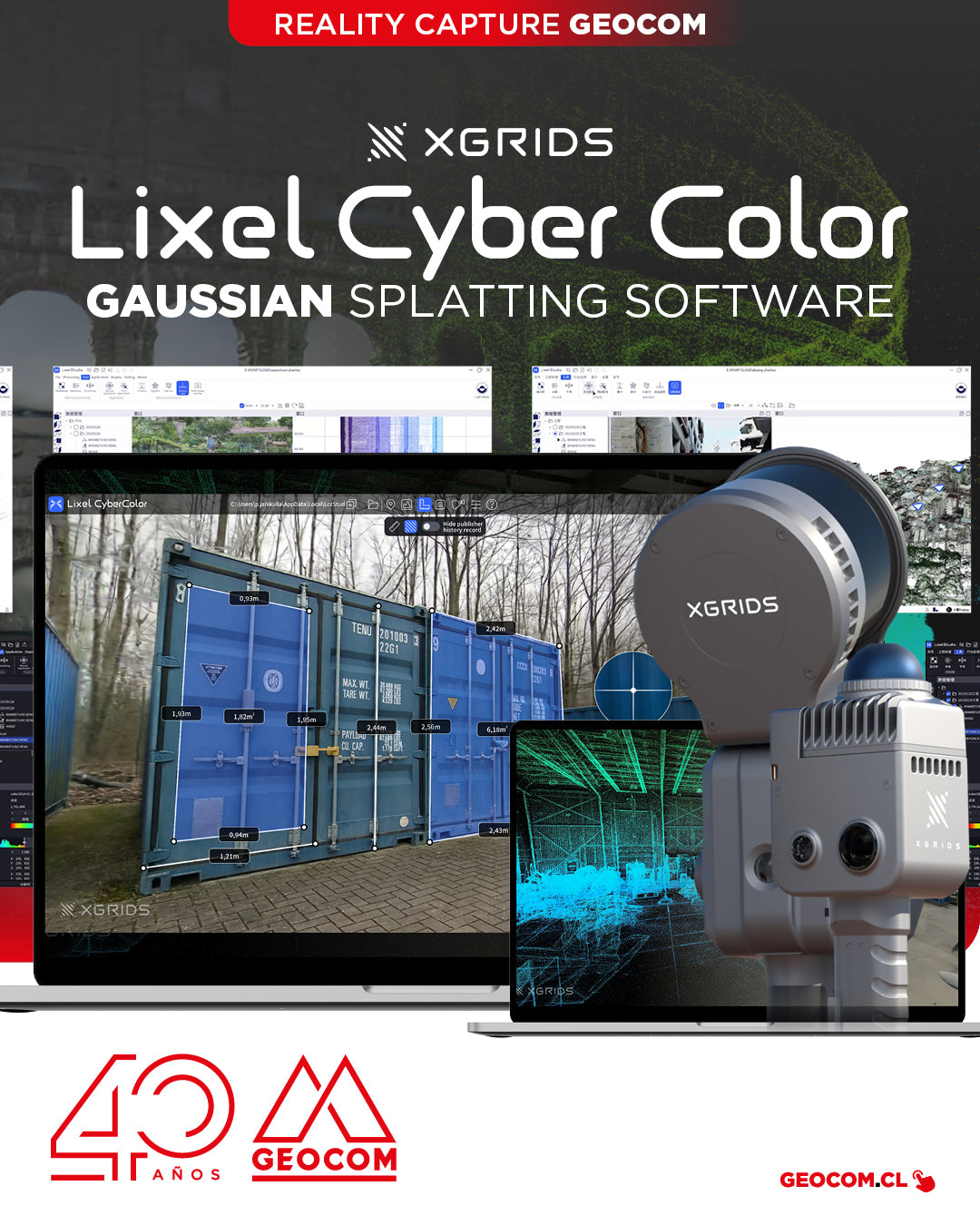
XGRIDS, a pioneer in geospatial intelligence and 3D perception technology, has officially launched the commercial version of Lixel CyberColor Studio v1.7.0 (LCC).
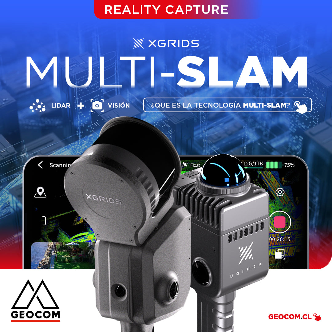
It is the technology that combines data from different sensors, such as LiDAR, cameras, and inertial measurement units (IMUs), to improve the accuracy and stability of simultaneous localization and mapping.
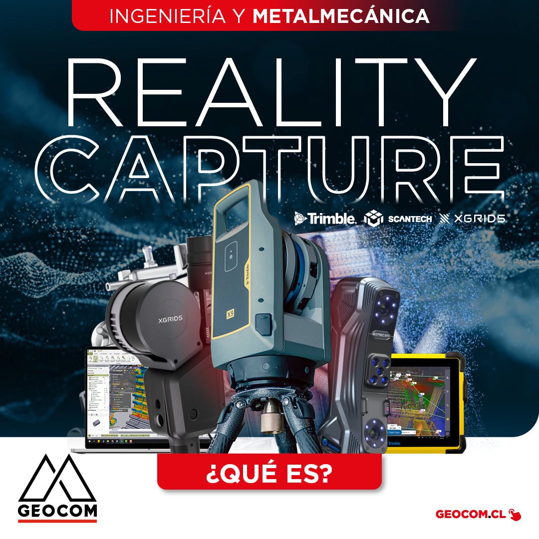
What is Reality Capture? - Engineering and Metalworking
The concept of “Reality Capture” encompasses a set of technologies that enable the digitalization of specific components or entire project environments through the use of laser scanning and/or imaging.
![[IQUIQUE] Noche Geoespacial - Reality Capture](http://www.geocom.cl/cdn/shop/articles/post_noche_geoespacial-iquique.jpg?v=1730985998&width=1080)
[IQUIQUE] Geospatial Night - Reality Capture
THURSDAY, DECEMBER 05 | 7:00 PM | IQUIQUE
JOIN US FOR THIS GEOSPATIAL EVENING! A cocktail where we'll discuss various Reality Capture solutions that will allow you to boost the productivity and efficiency of your projects.
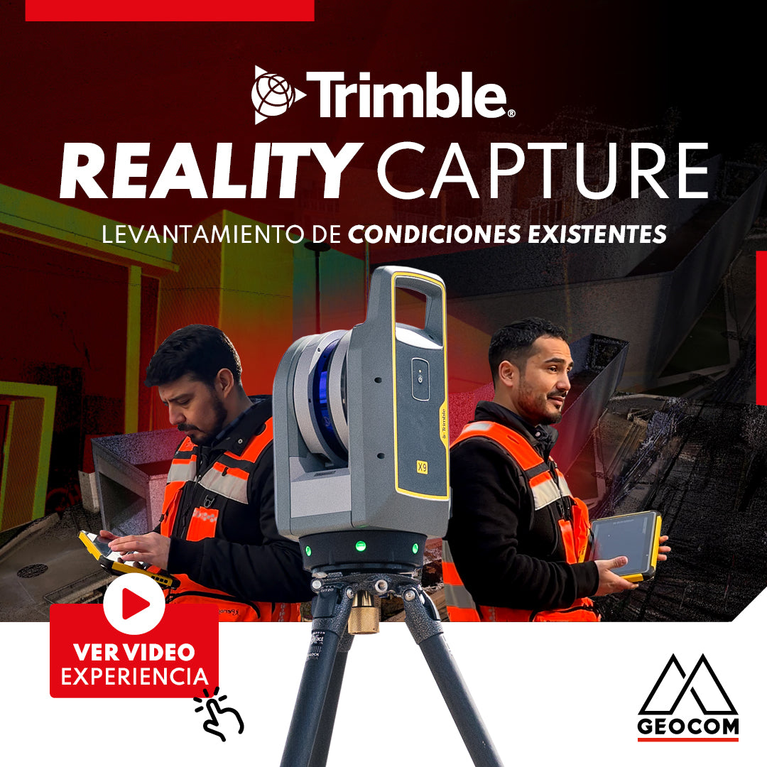
Trimble Reality Capture: Existing conditions survey
![Reality Capture en edificación: [CAP.1] Modelamiento 3D “As built”](http://www.geocom.cl/cdn/shop/articles/post_Reality_capture_capitulo1.jpg?v=1715096235&width=1080)
Reality Capture in building: [CH.1] "As-built" 3D modeling
In this experience, we immersed ourselves in the Trimble Reality Capture workflow to generate an "As-built" 3D model of a 5-story building with 2 underground levels.
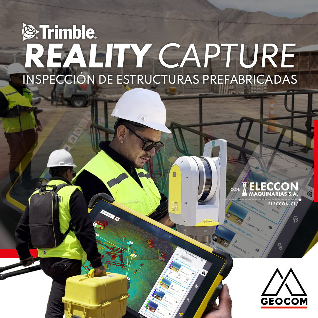
Trimble Reality Capture: Prefabricated Structure Inspection
Enriching the inspection process of prefabricated structures destined for mining operations, our friends at Eleccon Maquinarias share their workflow. This is based on the use of Reality Capture tools, such as the Trimble X7 laser scanner, Trimble Realworks processing software, and the Trimble Connect collaboration platform.

Trimble Reality Capture: TK Pond Inspection and Validation.
The project began with a detailed survey of the terrain and the TK pond. To ensure accuracy and compliance with required standards, the Trimble X7 scanner was used on-site. This equipment allowed for the capture of precise and detailed data of the pond, ensuring that every aspect was evaluated with the utmost accuracy.
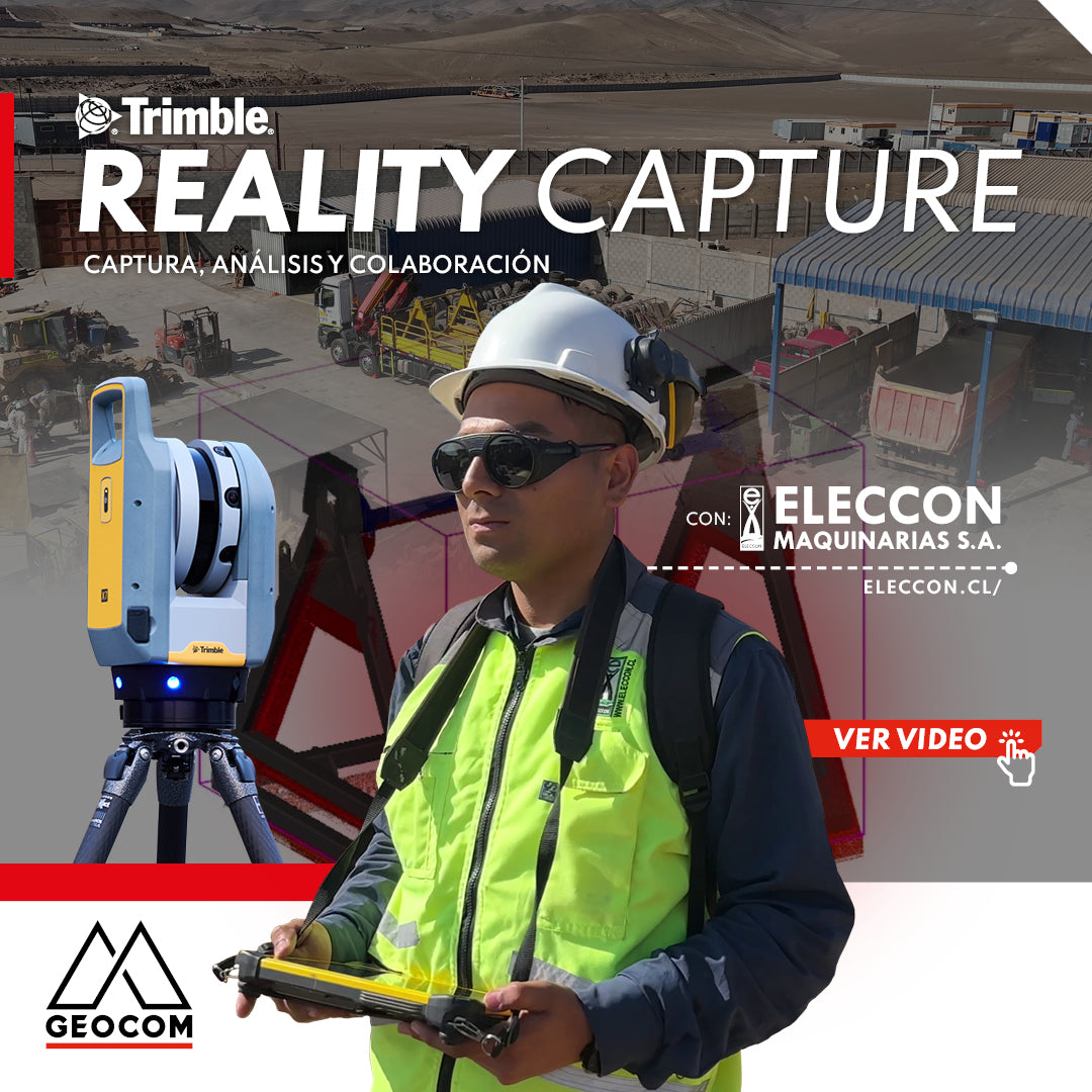
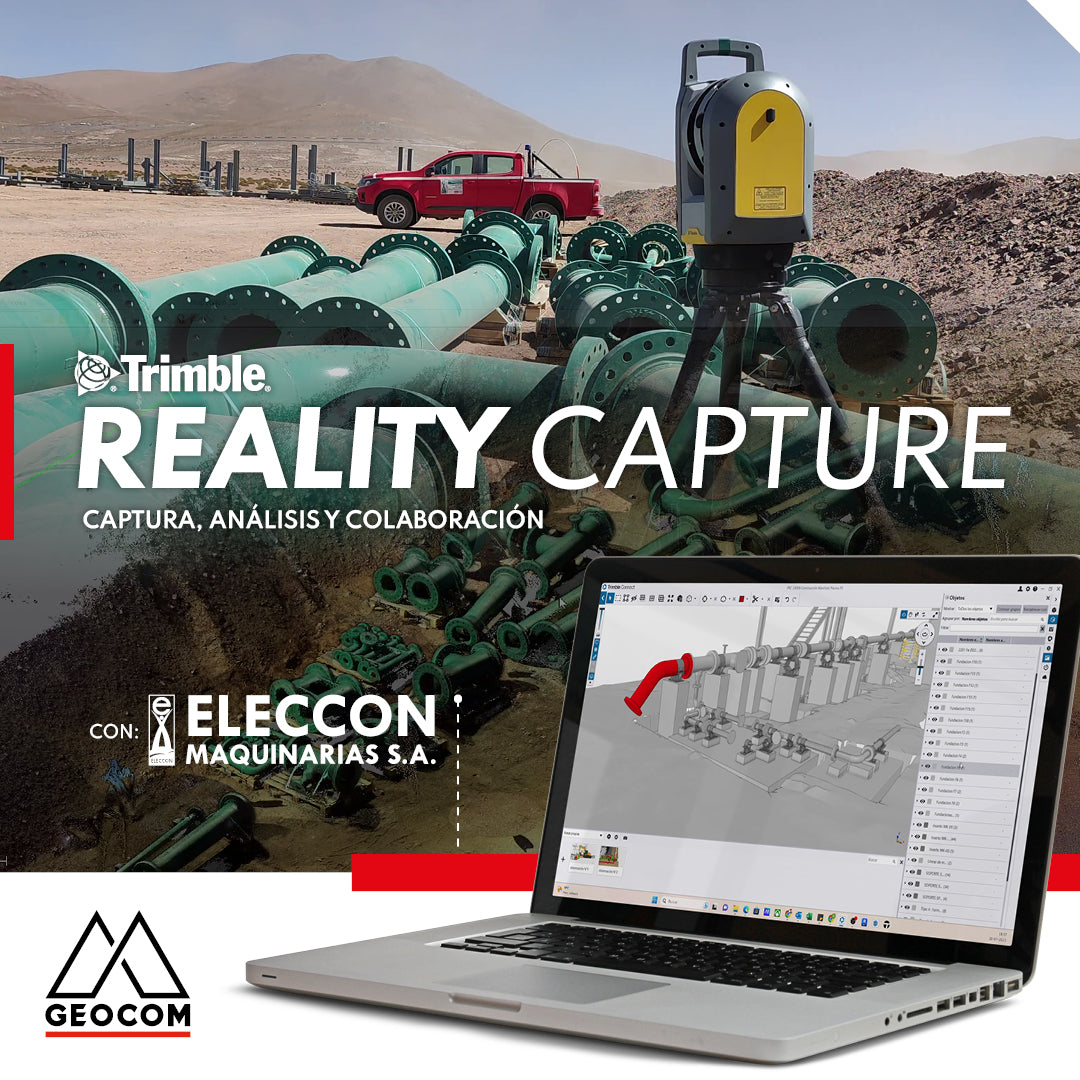
Trimble Reality Capture: Capture, Analysis, and Collaboration Vol. 2
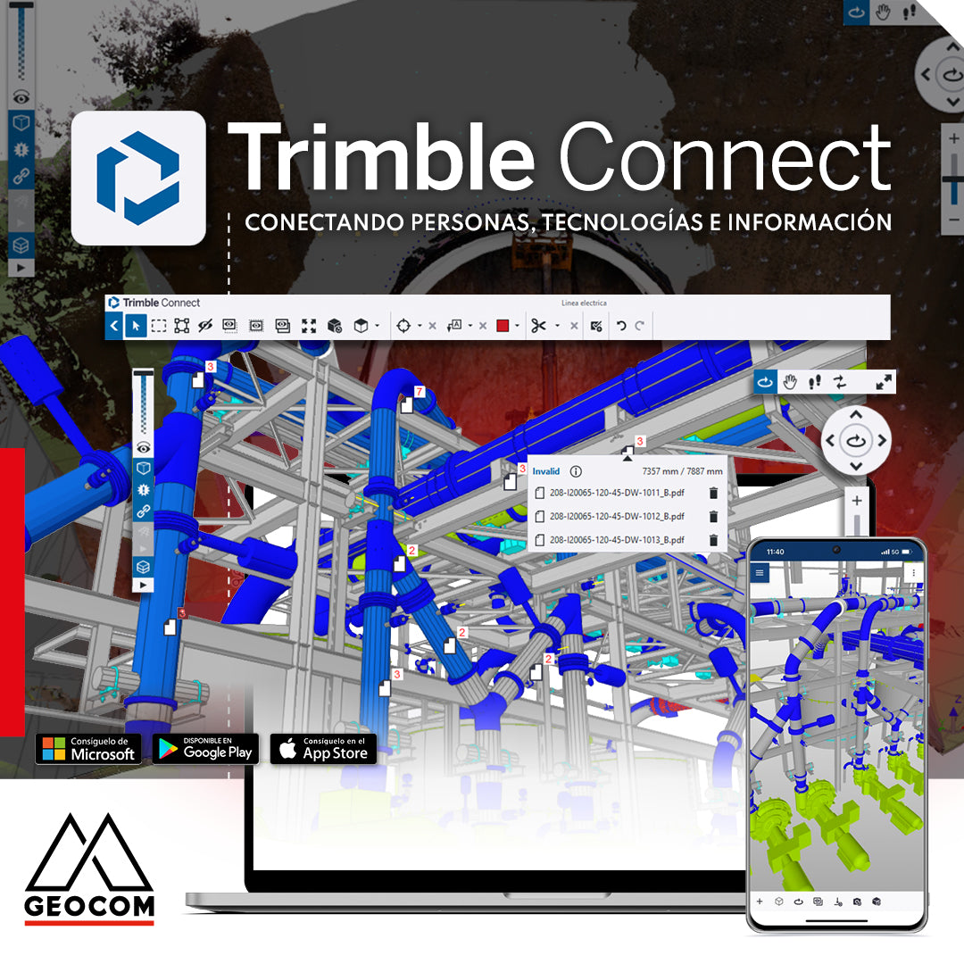
Trimble Connect: Connecting people, technologies, and information
In a world driven by digitalization, effective collaboration and project management are essential. That's why Geocom introduces the Trimble Connect common data environment, the solution that connects people, technologies, and information.
Trimble Reality Capture | Capture, analyze and collaborate