News

Scantech Nimbletrack: Escaneos inalámbricos sin marcadores

Scantech Nimbletrack: Marker-free wireless scanning

Geocom introduces NimbleTrack, the third generation of 3D scanners from Scantech. Its advanced technology allows it to operate without markers or cables, thanks to a tracking system, completely wireless communication, and integrated batteries. All of this translates into maximum freedom and efficiency in each measurement.

Read more

Coordinación Geoespacial | Flujo Trimble Connect con Trimble Access

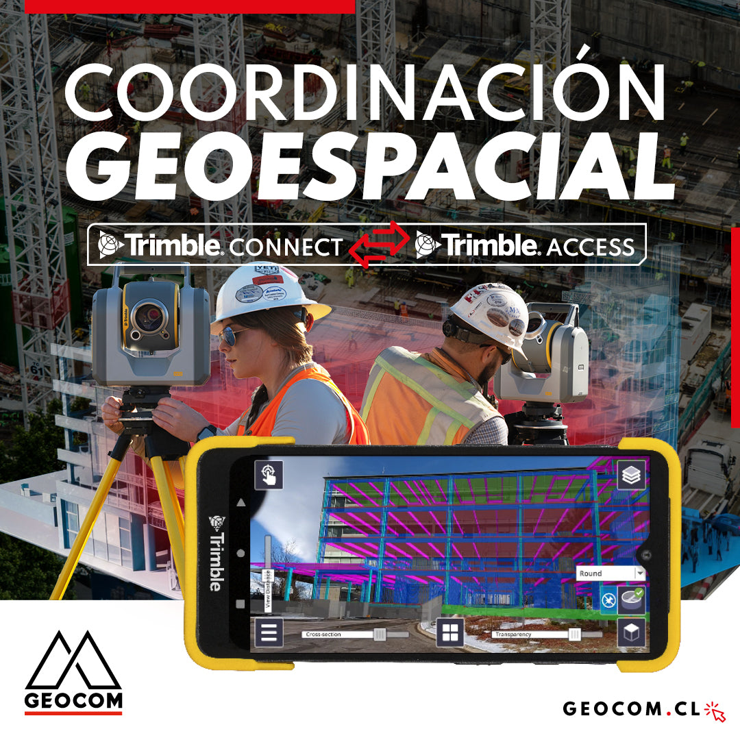
Geospatial Coordination | Trimble Connect Workflow with Trimble Access

Trimble Connect serves as an effective bridge between the digital and real worlds, enabling seamless integration between both. The platform not only enhances data visualization and management but also optimizes surveying processes by providing users and work teams with the necessary tools to stake out and control designs in the field.

Read more

Reality Capture en edificación: [CAP.1] Modelamiento 3D “As built”

Reality Capture in building: [CH.1] "As-built" 3D modeling

In this experience, we immersed ourselves in the Trimble Reality Capture workflow to generate an "As-built" 3D model of a 5-story building with 2 underground levels.

Read more

REPLANTEO ROBÓTICO TRIMBLE SX12 | CONNECT + REALIDAD AUMENTADA

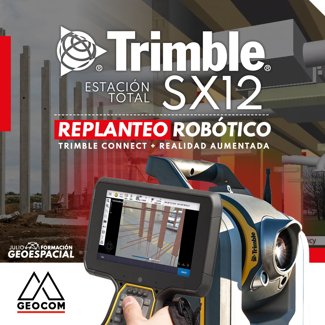
TRIMBLE SX12 ROBOTIC LAYOUT | CONNECT + AUGMENTED REALITY

Robotic layout with augmented reality using Trimble SX12, Trimble Access, and Trimble Connect is an innovative methodology that transforms the process of design actualization.

Read more

Vinculación del mundo real y digital a través de sensores geoespaciales

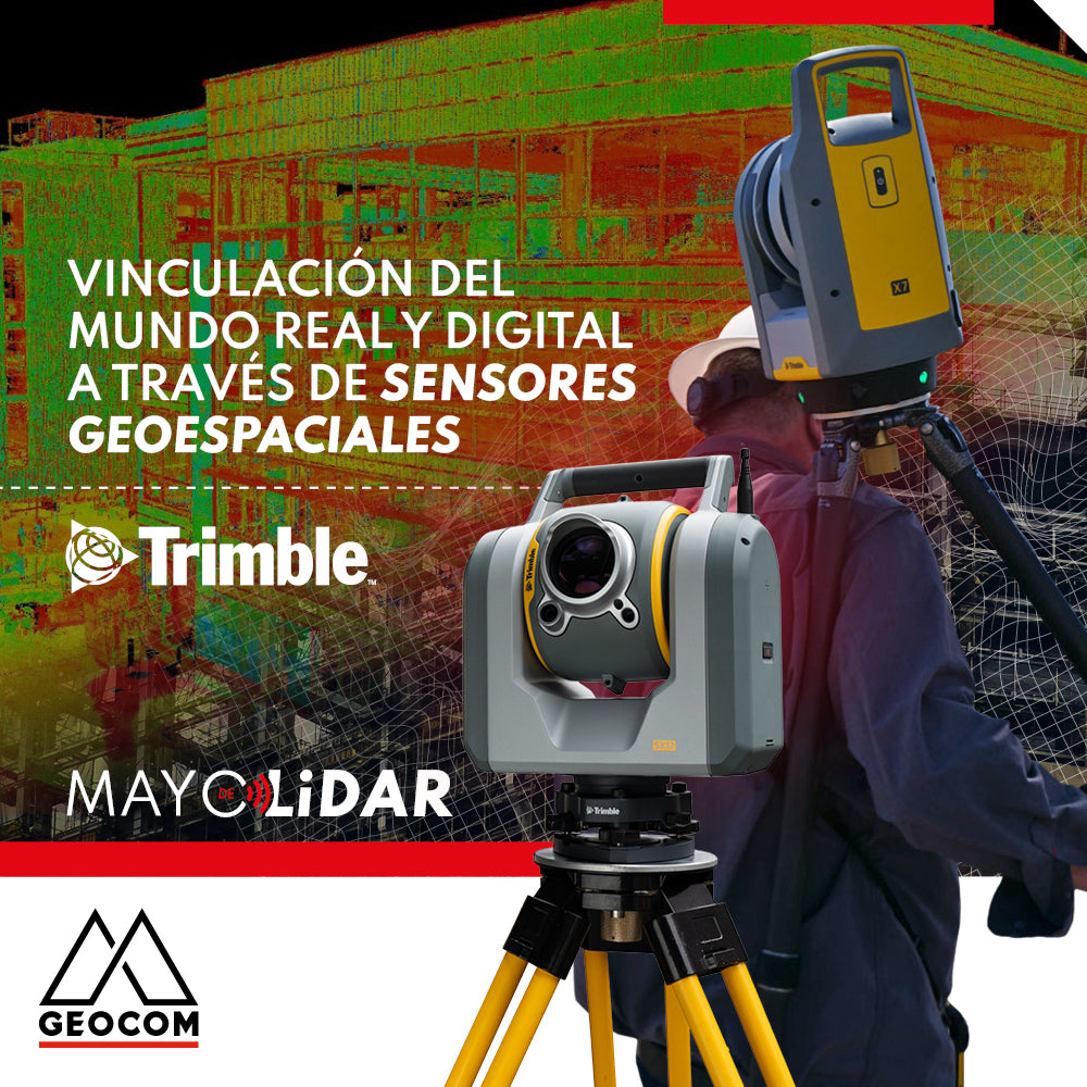
Linking the real and digital worlds through geospatial sensors

For the construction industry, it is essential to improve project quality so that companies can maintain a competitive position in the market and, at the same time, meet sustainability demands.

Read more

Trimble X7 | Control geométrico de obra

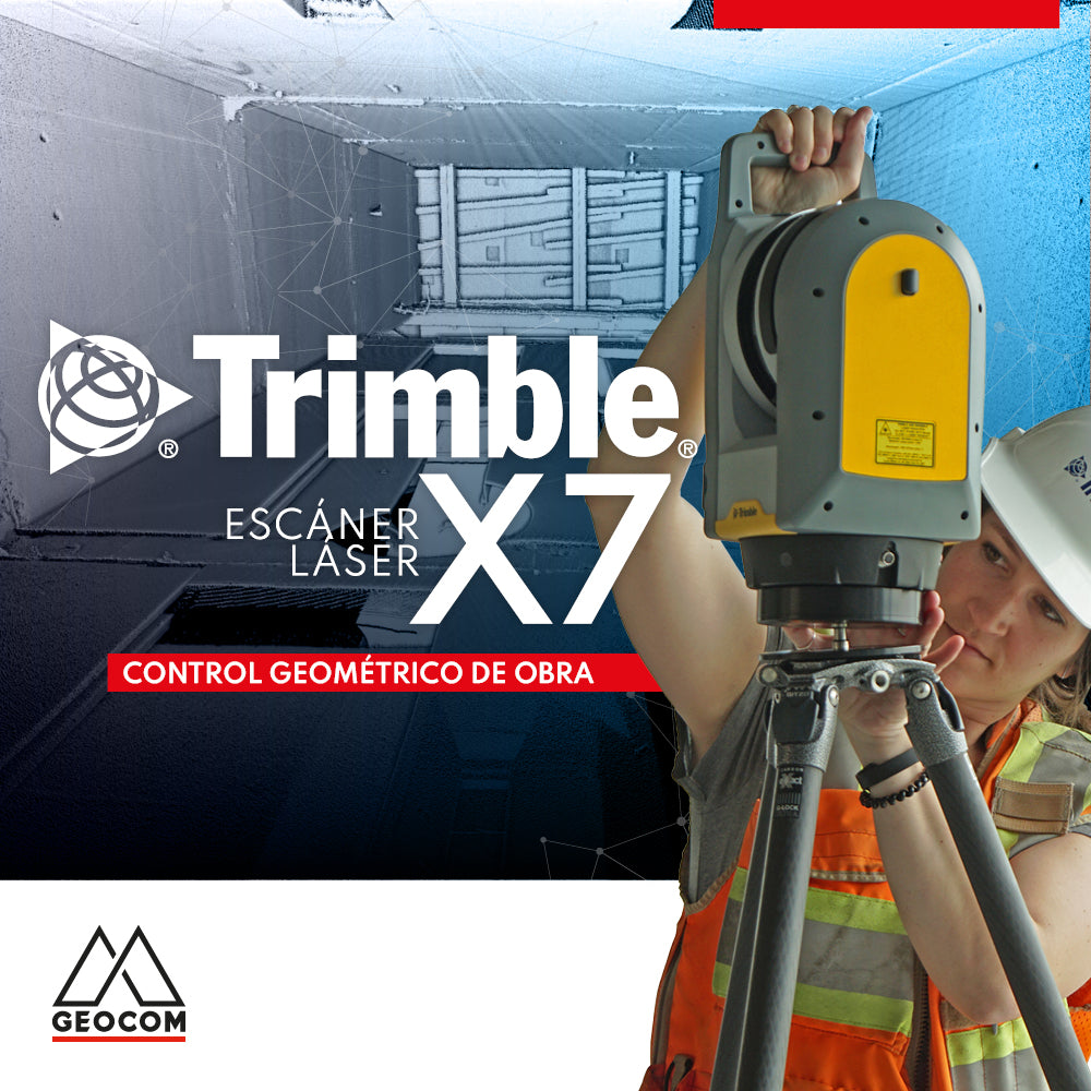
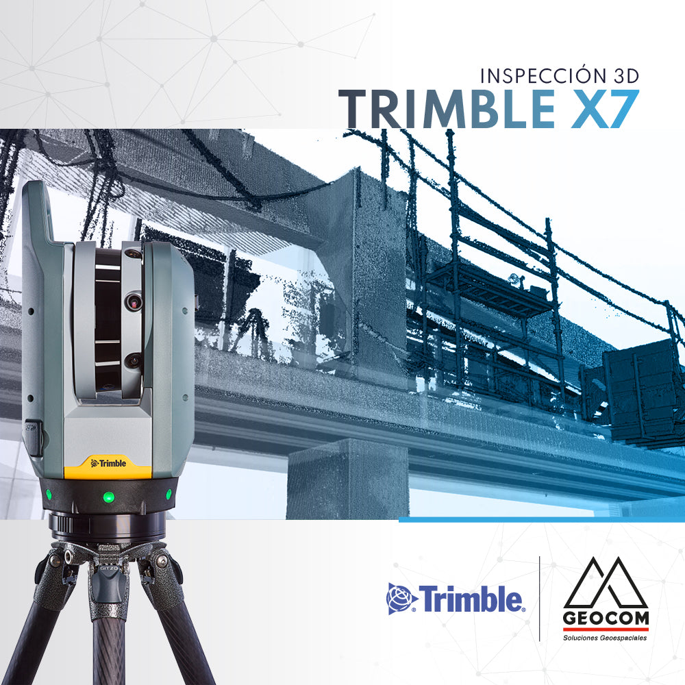
Trimble X7 | Construction geometric control

Construction projects are carried out in partially controlled environments, so ensuring the correct realization of the design on site is vital for the installation of prefabricated and/or modular components.

Read more

PERFILES RÁPIDOS CON TRIMBLE BUSINESS CENTER v5.50

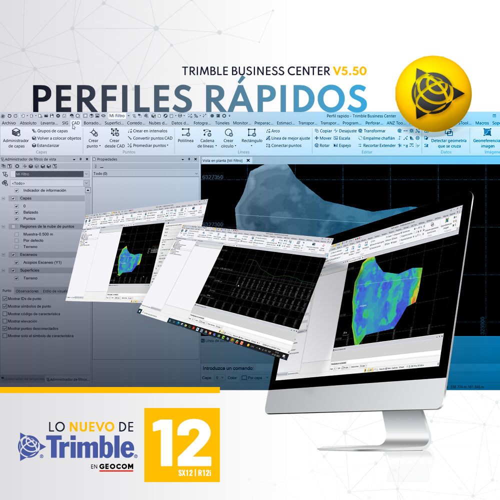
QUICK PROFILES WITH TRIMBLE BUSINESS CENTER v5.50

A required tool in any software associated with topography is the ability to generate quick profiles that are exportable, informative, or necessary for creating reports or plans.

Read more

Trimble X7 | Inspección 3D

Trimble X7 | 3D Inspection

Topographical deviations and deformations in the on-site execution of designs are common in the construction industry. These problems are often detected late, directly affecting the project schedule, quality, and costs.

Read more

Ajuste de redes observadas con GNSS RTK

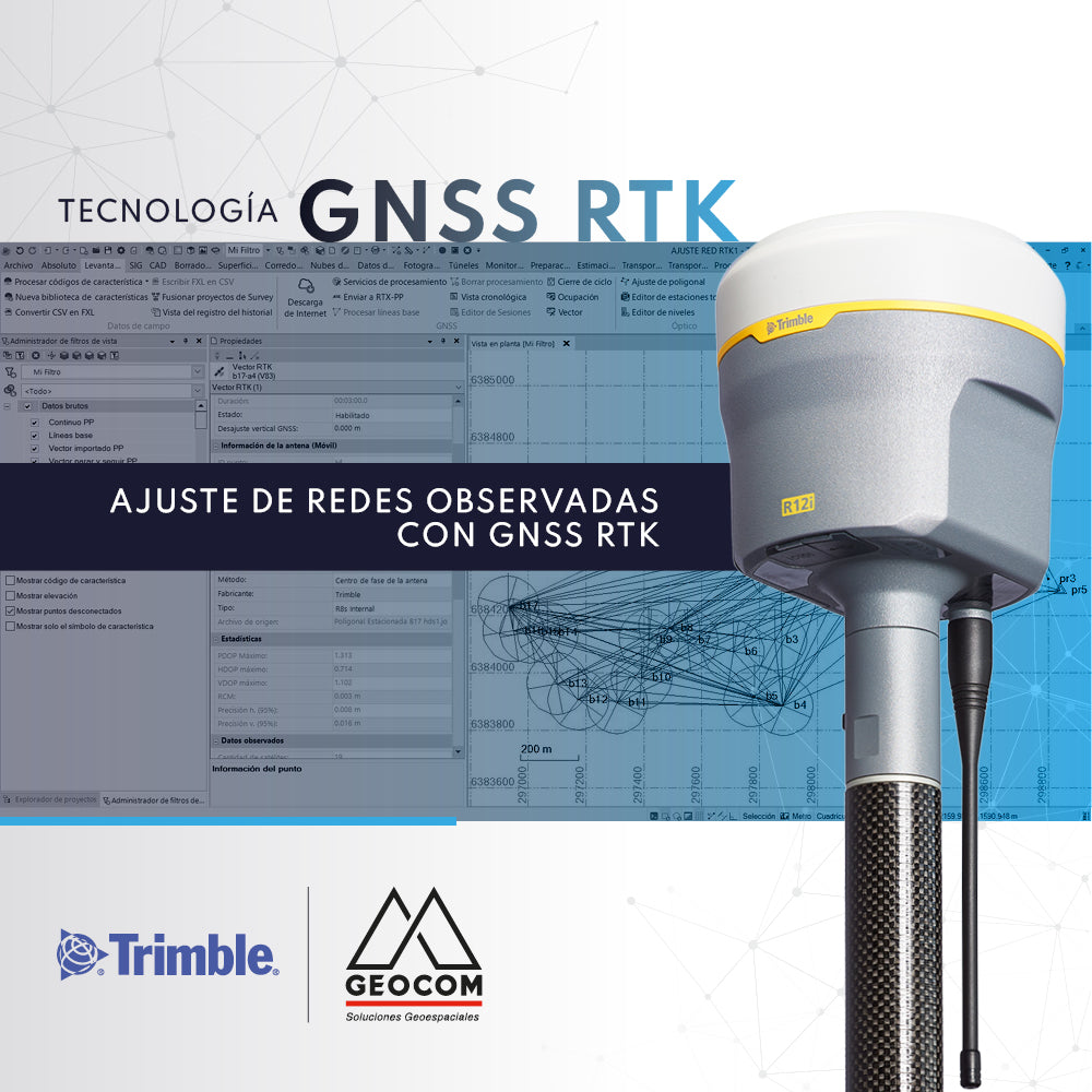
Adjustment of Observed GNSS RTK Networks

The use of GNSS RTK observation techniques for geodetic networks is underexplored. The most commonly used observation method is Static.

Read more

Trimble TCU5

Trimble TCU5

The Trimble TCU5 controller is powerful hardware for Trimble S-series total stations.

Read more