

Escáner Láser 3DGemelos digitalesIMUInspección 3DK1L2 ProLiDARLixelMapeo 3DMulti SlamNube de puntosReality CaptureSLAMXGrids
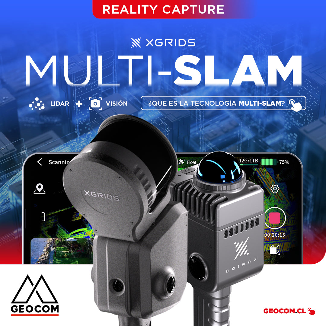
It is the technology that combines data from different sensors, such as LiDAR, cameras, and inertial measurement units (IMUs), to improve the accuracy and stability of simultaneous localization and mapping.
construcciónGemelos digitalesGeoespacialGNSS TrimbleSoftware TrimbleTrimbleTrimble AccessTrimble Connect
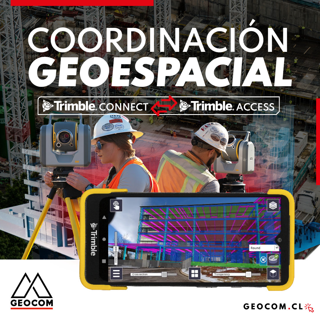
Geospatial Coordination | Trimble Connect Workflow with Trimble Access
Trimble Connect serves as an effective bridge between the digital and real worlds, enabling seamless integration between both. The platform not only enhances data visualization and management but also optimizes surveying processes by providing users and work teams with the necessary tools to stake out and control designs in the field.