

Escáner Láser 3DGemelos digitalesIMUInspección 3DK1L2 ProLiDARLixelMapeo 3DMulti SlamNube de puntosReality CaptureSLAMXGrids
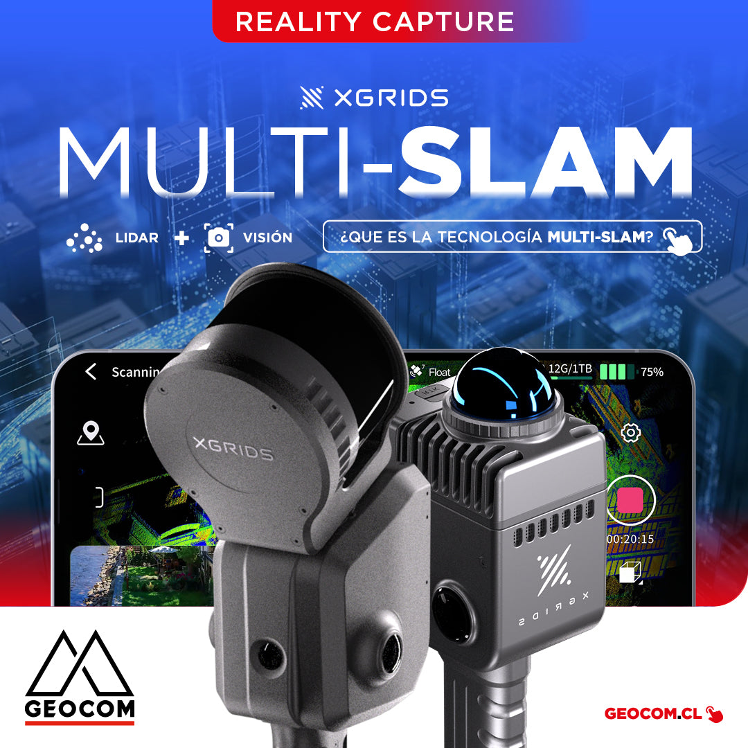
It is the technology that combines data from different sensors, such as LiDAR, cameras, and inertial measurement units (IMUs), to improve the accuracy and stability of simultaneous localization and mapping.