

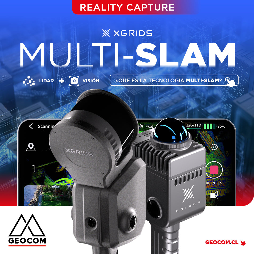

What is MULTI-SLAM?
Reality Capture
Discover the revolution in 3D scanning with Multi-SLAM technology
Currently, there are mainly two SLAM techniques: Visual and LiDAR. However, each has its own shortcomings. Visual SLAM systems are highly susceptible to variations in textures, lighting, and dynamic conditions, which affects their stability and generates errors, largely due to the absence of direct distance measurement. For their part, LiDAR SLAM systems experience a decrease in accuracy when operating in monotonous environments or with few features.
XGRIDS is the first SLAM scanning company in the industry to apply Multi-SLAM technology to achieve more stable and higher quality data in complex scenes.


What is Multi-SLAM?
It is the technology that combines data from different sensors, such as LiDAR, cameras, and inertial measurement units (IMUs), to improve the accuracy and stability of simultaneous mapping and localization.

Advantages of Multi-SLAM:
LiDAR, cameras, and the inertial measurement unit (IMU) complement each other, leveraging the strengths of each sensor. The IMU, by not depending on environmental characteristics, is capable of estimating parameters such as speed and position, which allows correcting distortions in LiDAR data, among other adjustments. For its part, visual SLAM contributes by correcting the cumulative errors of the systems, thus achieving a more precise and robust integration in complex environments.
- Improved accuracy and robustness: Combines complementary sensor data (IMU, LiDAR, and cameras), correcting distortions and cumulative errors.
- Reliability: Works in scenarios where individual sensors fail, such as in poor visual conditions or environments with few geometric features.
- System dynamism: Processes data with greater frequency and precision, adapting to faster movements.


Multi-SLAM Equipment:

Represents the most advanced solution in portable 3D scanning technology based on MULTI-SLAM. This device combines high precision, portability, and an integrated all-in-one design, offering an efficient workflow, from data capture to real-time 3D point cloud reconstruction.

Is a compact and portable Multi-SLAM scanner, designed for fast and efficient mapping tasks. It allows capturing precise point cloud data without the need for complex configurations, ideal for small-scale projects, quick indoor scans, or gathering details in hard-to-reach areas. Lixel Kity K1 stands out for its lightweight design and intuitive operation.

Compartir:
[Antofagasta] UAS Workshop | Drones in the geospatial world
Webinar | DJI Matrice 4 Series: The Beginning of a New Era in Drones?