

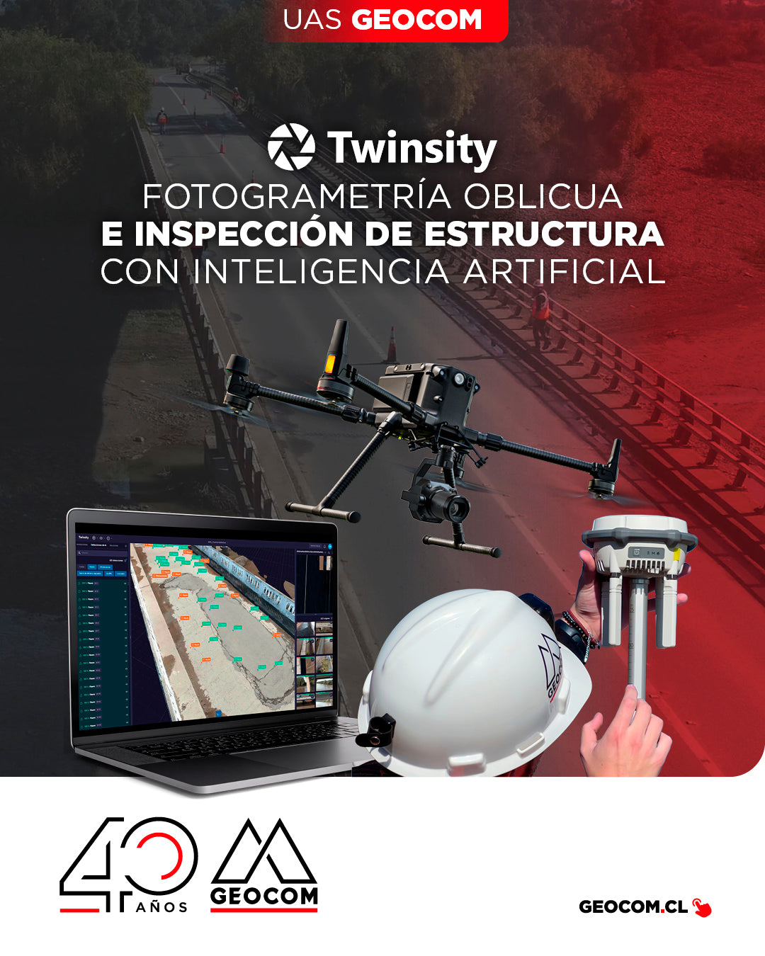
Oblique Photogrammetry and AI-powered Structure Inspection
Can you imagine inspecting a bridge with maximum precision and in less time? This is how we worked on the Naltahua bridge, where we combined the use of the Matrice 300 RTK with the Zenmuse P1 sensor, DJI Terra, and Twinspect's artificial intelligence.
![[ANTOFAGASTA] Noche Geoespacial | Reality Capture](http://www.geocom.cl/cdn/shop/articles/post_ig_EVENTO_RealityCapture_Antofagasta.jpg?v=1746721704&width=1080)
[ANTOFAGASTA] Geospatial Night | Reality Capture
TUESDAY, MAY 27 | 7:00 PM TO 10:00 PM | HOTEL TERRADO ANTOFAGASTA
In this Geocom Geospatial Night, we will address 4 areas of Reality Capture:
Metrology, High Precision, Multi-SLAM, and Industrial Inspection.
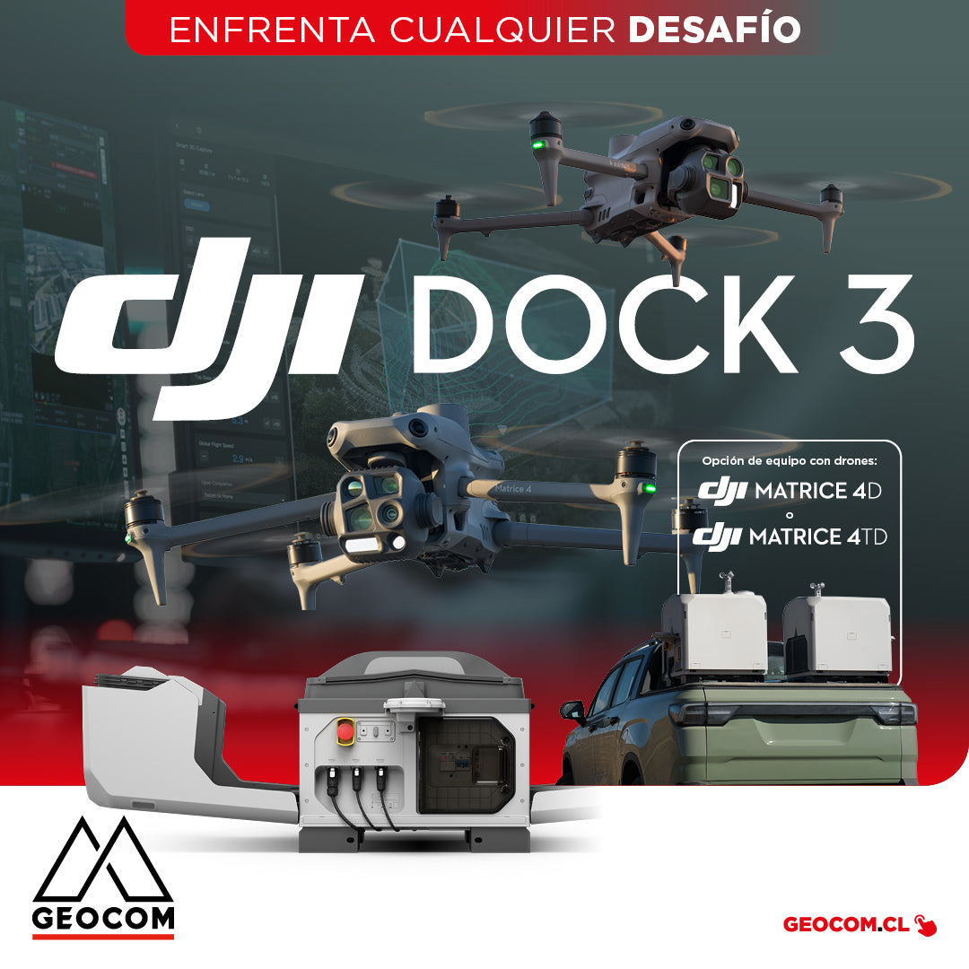
DJI Dock 3 offers a comprehensive Autonomous Drone solution for 24/7 remote operations
DJI Dock 3, the company's first Autonomous Drone solution that allows vehicle mounting, facilitating 24/7 remote operations in diverse environments.
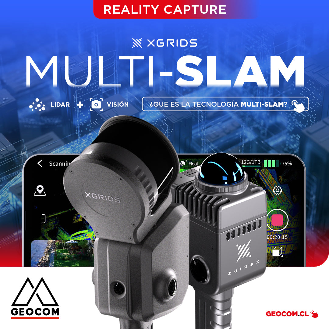
It is the technology that combines data from different sensors, such as LiDAR, cameras, and inertial measurement units (IMUs), to improve the accuracy and stability of simultaneous localization and mapping.
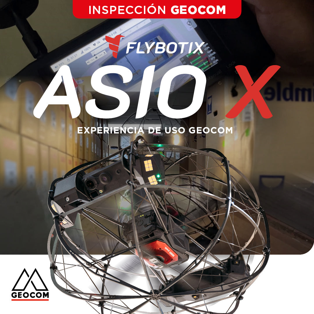
Flybotix ASIO X: GEOCOM User Experience
GEOCOM strengthens its commitment to technological innovation by welcoming Alejandro Quidiello, Flybotix Test and Quality Engineer, to its facilities. Quidiello provided comprehensive training on the ASIO X inspection drone system.
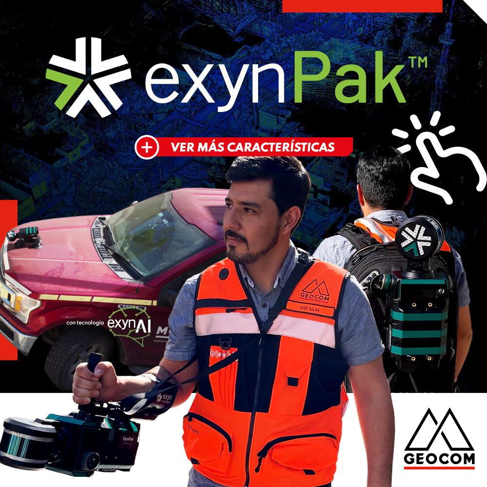
ExynPak | Mobile SLAM System for Challenging Environments
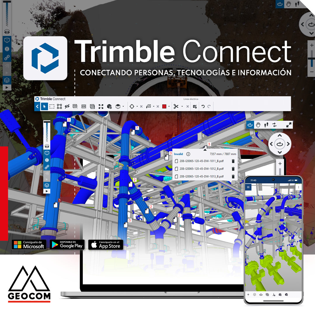
Trimble Connect: Connecting people, technologies, and information
In a world driven by digitalization, effective collaboration and project management are essential. That's why Geocom introduces the Trimble Connect common data environment, the solution that connects people, technologies, and information.
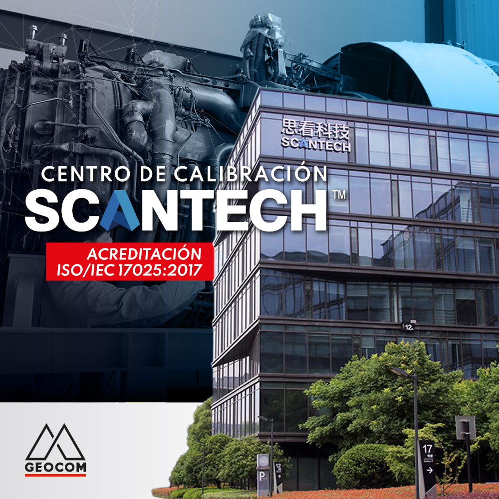
Scantech's calibration center is accredited to ISO/IEC 17025:2017