

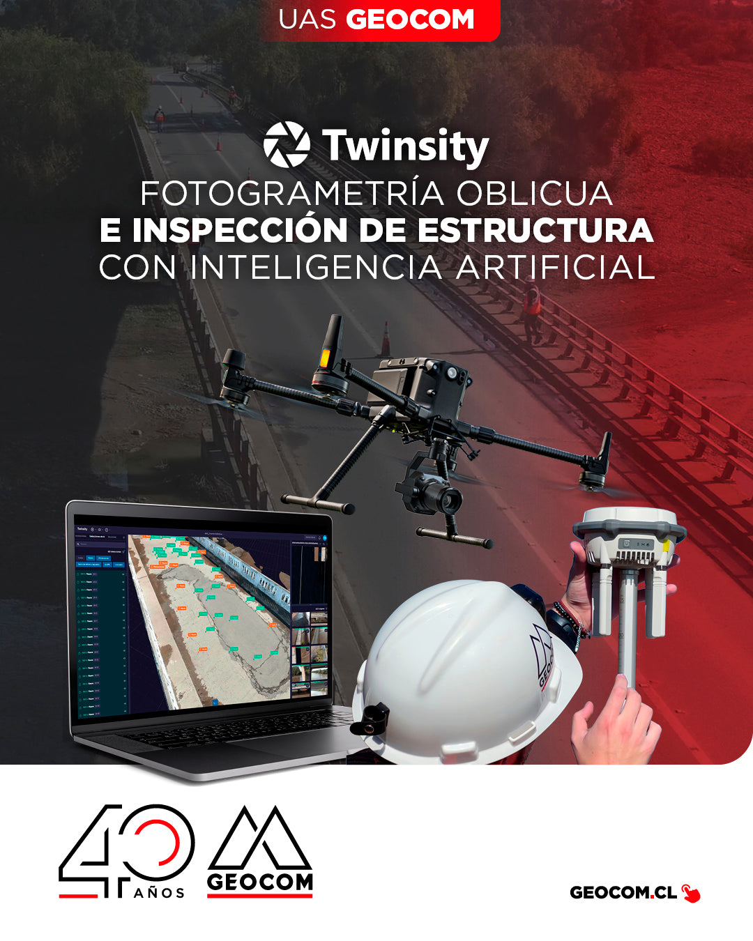
Oblique Photogrammetry and AI-powered Structure Inspection
Can you imagine inspecting a bridge with maximum precision and in less time? This is how we worked on the Naltahua bridge, where we combined the use of the Matrice 300 RTK with the Zenmuse P1 sensor, DJI Terra, and Twinspect's artificial intelligence.

NEW DJI MATRICE 400 | Intelligent and Efficient Long-Endurance Aerial Missions
GEOCOM is pleased to announce the availability of the DJI Matrice 400, the most advanced professional drone in the industry. The new standard for long-duration intelligent aerial missions is now available in the Chilean market.
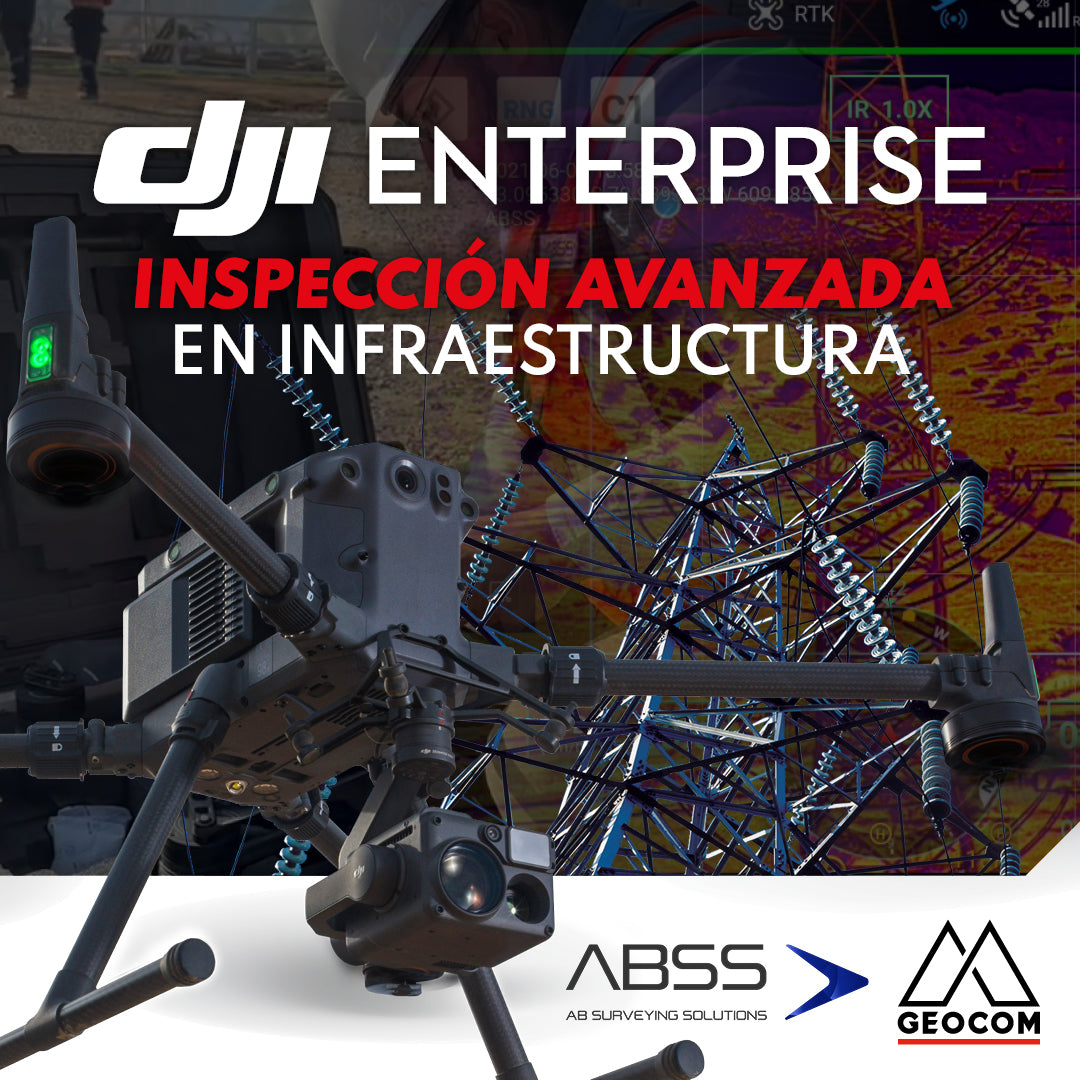
DJI Drones | Advanced infrastructure inspection
DJI drones have revolutionized inspections thanks to their advanced technology and versatility. These systems can be equipped with different types of high-resolution sensors (primarily RGB and thermal), which allow for capturing highly detailed photos and videos of various elements.
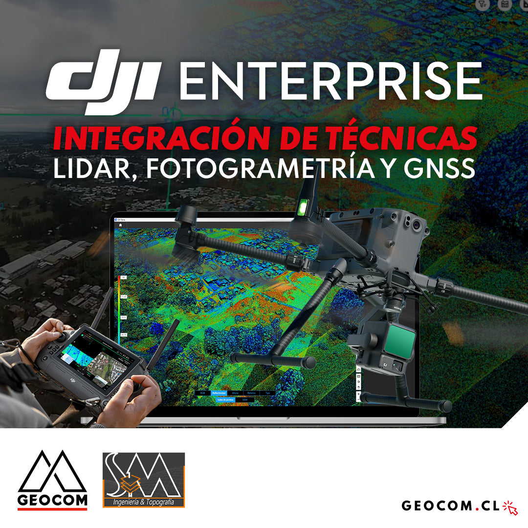
DJI Drones | Integration of LiDAR, Photogrammetry, and GNSS Techniques
Success story, where a project was executed integrating different geospatial capture techniques, using a DJI M350 drone with two sensors: Zenmuse P1 for photogrammetry and Zenmuse L2 for LiDAR. In this article, we will review the key points that made the use of both sensors necessary to provide a more representative and accurate capture of the area.
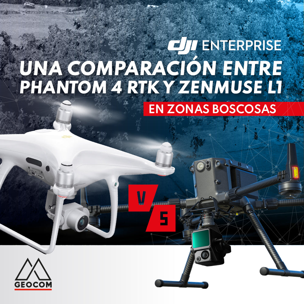
A comparison between Phantom 4 RTK and Zenmuse L1 in wooded areas
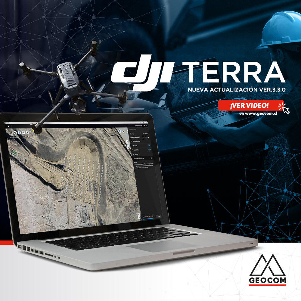
Learn about the new features in the latest version of DJI Terra 3.3.0
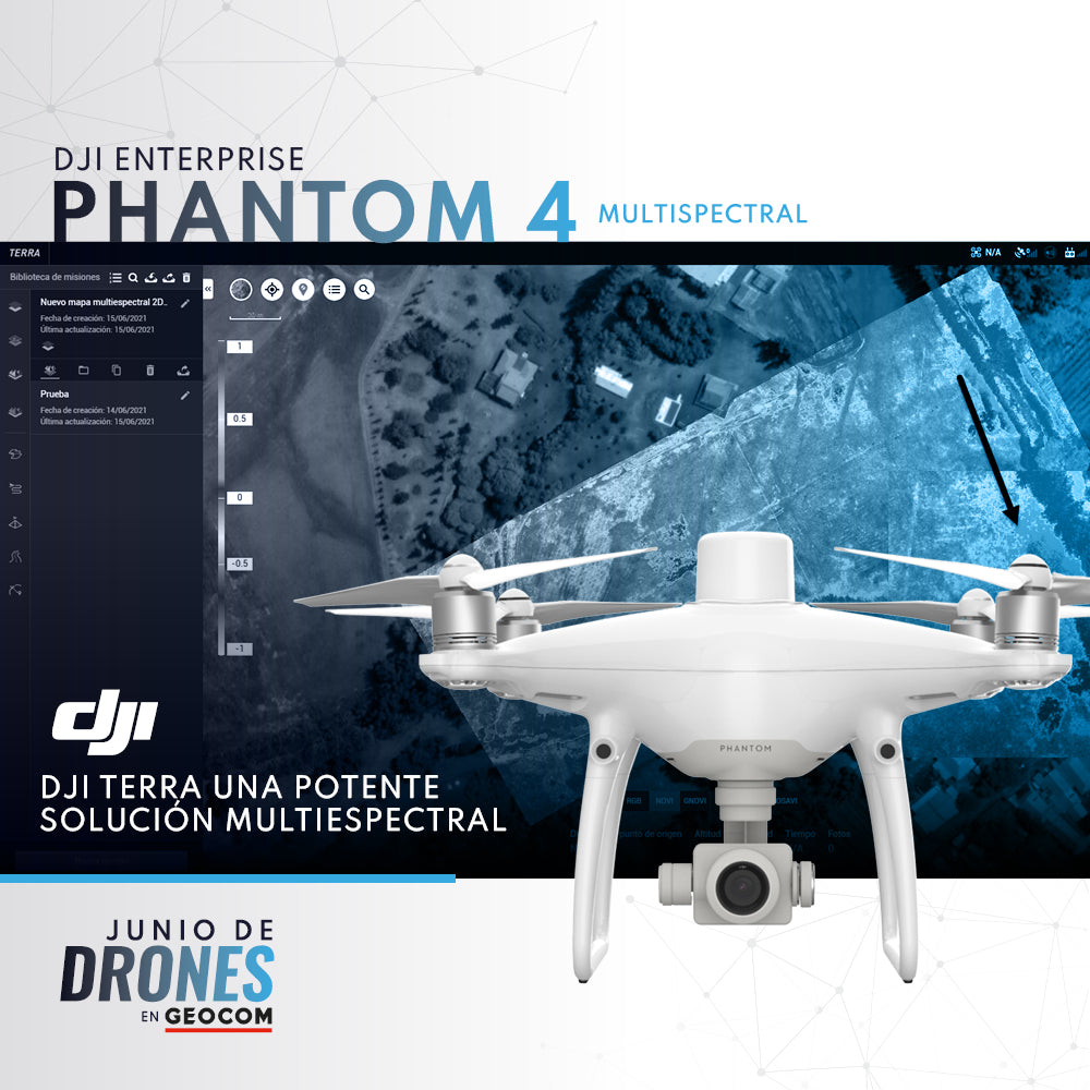
P4 Multispectral + DJI Terra: A Powerful Multispectral Solution