


Summary
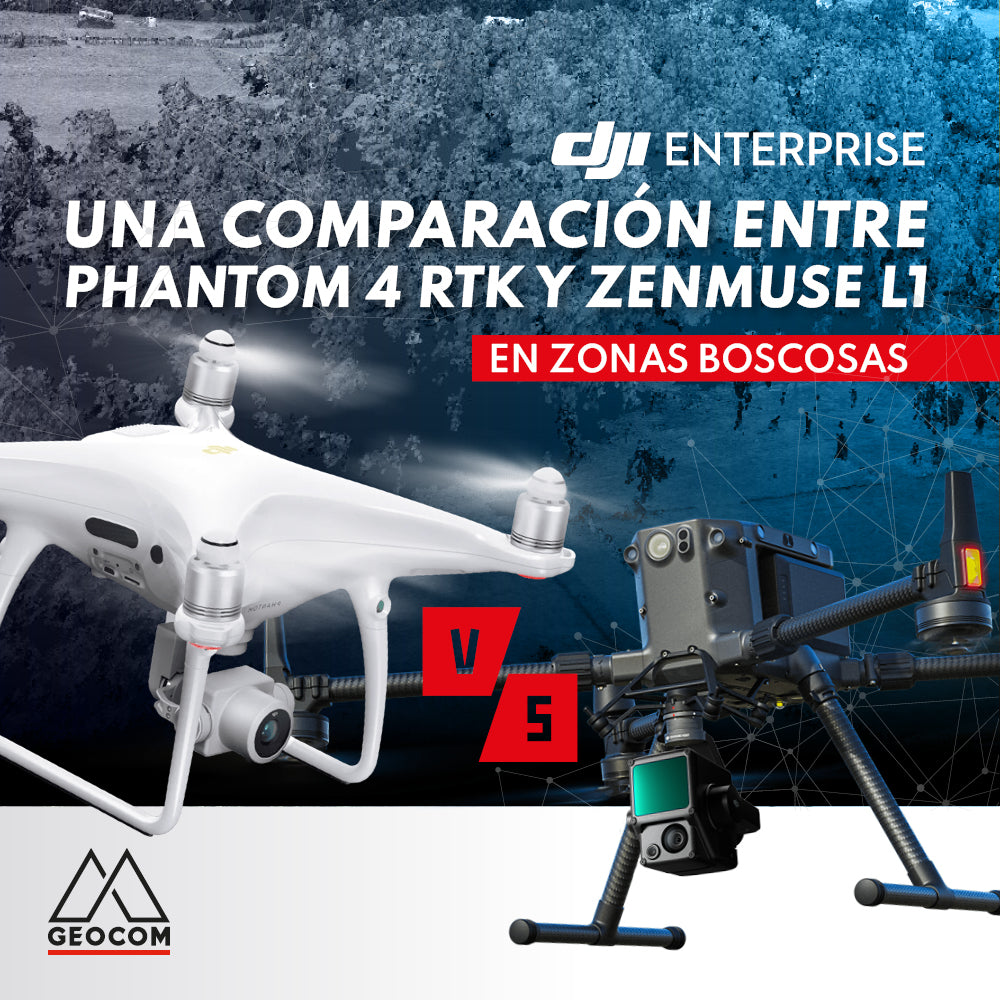
Drones have definitely come to stay in the geospatial field. They have diversified their products thanks to the possibility of integration with different sensors (RGB, thermal, night vision, multispectral, LiDAR, among others). From this perspective, photogrammetry and LiDAR have always been compared in various aspects. However, the comparison depends on the analysis of several factors, which must be oriented in terms of the application to be addressed. Therefore, it was decided to compare photogrammetry and LiDAR in their ability to represent terrain in an area of abundant vegetation, with the aim of analyzing the main strengths and weaknesses of each technique in these types of conditions.
Some definitions
Photogrammetry is a type of indirect measurement where a three-dimensional reconstruction is obtained through a series of highly overlapping photographs of an area of interest. Two main products are obtained: point cloud and orthophoto. In this regard, Phantom 4 RTK is a highly recognized drone in this field: with a 20-megapixel camera with a 1” sensor and a geodetic GNSS, it allows for direct georeferenced photogrammetry.

Fig 1. DJI Phantom 4 RTK
LiDAR is an acronym that stands for Light Detection and Ranging. Fundamentally, a LiDAR performs a type of direct measurement where the three-dimensional reconstruction is obtained by emitting a light beam towards the Earth's surface, which upon returning to the sensor allows its distance to be determined. One main product is obtained: a point cloud.
The Matrice 300 RTK/PPK with the Zenmuse L1 is an entry-level LiDAR that has firmly positioned itself in the national industry, offering an optimized scanning range of up to 150 m in height and with a storage capacity of 1 to 3 returns at a rate varying between 240-480 thousand points per second.

Fig 2. DJI Matrice 300 RTK with L1
The multi-return capability of LiDAR depends on the emitted energy and how it interacts with certain surfaces, with a portion of it returning as the pulse is transmitted. Undoubtedly, this is LiDAR's main advantage over photogrammetry.
About the experience
A recurring question from colleagues in the geospatial field concerns when to use photogrammetry instead of LiDAR and vice versa. In this regard, there are different dimensions for comparison. However, this document will focus on the sensor's ability to perform topographic representation in areas with abundant vegetation.


Fig 3. Point cloud. The top view corresponds to a reconstruction by photogrammetry (Phantom 4 RTK) and the bottom view by LiDAR (Matrice 300 RTK with Zenmuse L1)
Generalities on data acquisition
Two flights were conducted using both techniques. With the Phantom 4 RTK, photogrammetry was performed, while with the Matrice 300 RTK, topographic representation was carried out using the Zenmuse L1 LiDAR.

Table 1. Generalities on data acquisition for photogrammetry and LiDAR
Analysis
In terms of reconstruction, if the point cloud is analyzed from a plan view, no major differences will be found between the two capture methods. However, the situation changes considerably when rotating the point cloud, as the photogrammetric reconstruction identifies several areas without data, a different situation from LiDAR, which provides greater detail of the terrain, as well as the foliage and trunks of trees.

Fig 4. Point cloud from perspective. The reconstruction obtained by photogrammetry has areas without data, unlike the bottom view obtained by LiDAR, which reconstructs the tree structure with greater detail.
This is due to the LiDAR sensor's ability, with its light beam, to return different energy pulses where it will not only measure what is superficial or what is seen in photographs. This is known as the ability to store different "returns." It is of utmost importance to understand this concept in LiDAR, as depending on the number of returns it has, increasingly complex areas or areas with more vegetation can be reconstructed, because each of these returns will be reflected on an object or surface further away from the sensor itself, thus capturing more information to achieve a more detailed reconstruction.


Fig 5. Point cloud classified by returns. In the bottom view, the LiDAR reconstruction shows the 3 stored returns, unlike the photogrammetric reconstruction which does not have classification using this feature.
When generating various cross-sections of the point cloud, it is clearly seen how LiDAR provides more terrain information:


Fig 6. Cross-sections in point cloud. Top view from the photogrammetric point cloud and bottom view from the LiDAR point cloud.
This is precisely what will allow obtaining more representative contour lines of the area of interest, as the previously generated surface will contain a greater amount of data, interpolating more effectively:


Fig 7. Contour lines and cross-sections in point cloud. Top view from the photogrammetric point cloud and bottom view from the LiDAR point cloud.
Conclusions
In areas with abundant forests and/or vegetation, the LiDAR sensor offers a better defined reconstruction than photogrammetry, obtaining more ground points in areas covered by abundant vegetation or trees, making it a technique that provides a more representative three-dimensional reconstruction.
Compartir:
RTK DIRECT GEOTAGGING IN DRONES
Trimble RealWorks Storage Tank