

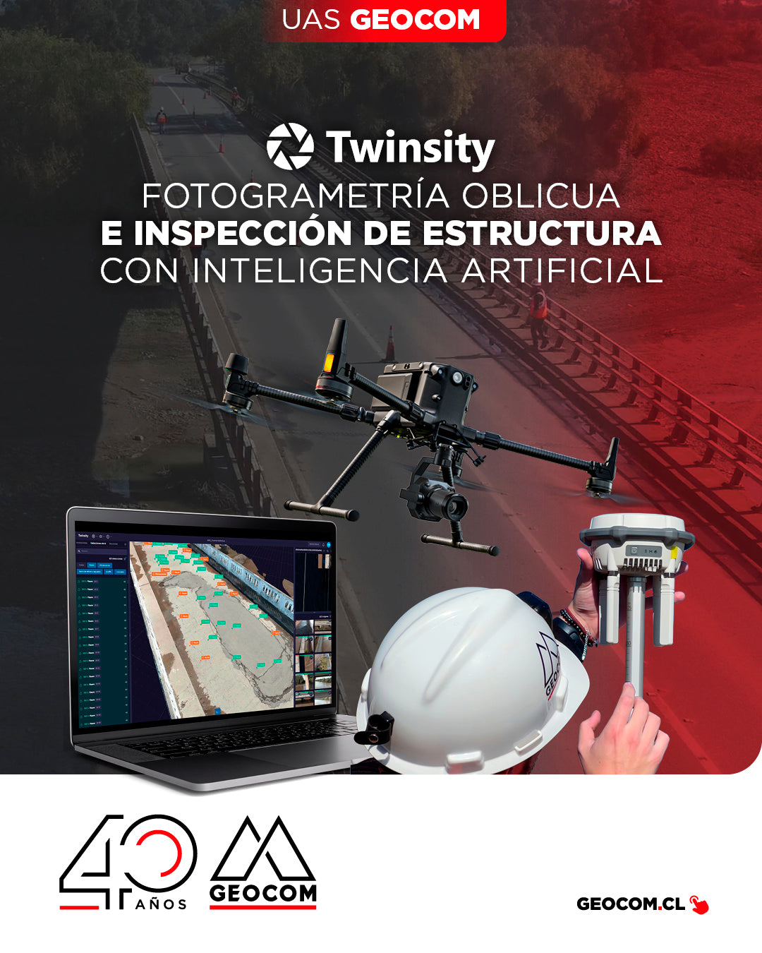

Oblique Photogrammetry and Structure Inspection with Artificial Intelligence
Naltahua Bridge Inspection, Isla de Maipo
Inspecting infrastructures, such as bridges, can be a complex task, both from the operational safety perspective of workers and due to the time involved in a detailed review of each component.
In this context, having the right equipment allows for efficient inspections, reducing risks for personnel and optimizing data capture and analysis times, which translates into greater productivity both in the field and in the office.
In the following UAS article, we present a success story: the complete execution of a detailed inspection project of the Naltahua bridge, located in the municipality of Isla de Maipo. This work covered everything from flight planning and data capture with the Matrice 300 RTK drone and the Zenmuse P1 sensor, to photogrammetric processing in DJI Terra and the visualization and inspection of results using artificial intelligence on the Twinspect platform.


Below, we review the key points of each stage of the project to achieve a detailed and efficient inspection.
Flight planning and execution
DJI Pilot 2 is the software used to control the Matrice 300 RTK and its Zenmuse P1 sensor. This platform stands out for its intuitive interface and its various capture strategies, adapted to different types of drones and sensors. The flight was carried out over the extension of the new Naltahua bridge and one of its piers. For this, two different strategies were applied:
Oblique flight:
This strategy consists of five flights: one with nadir orientation (sensor at -90°) and four complementary flights, one for each side of the main polygon, with photographs captured at angles other than nadir (in this case, -45°). The flight lasted 75 minutes, at a height of 25 meters to achieve a resolution of 0.31 cm/px. The lateral overlap was configured at 70% and the frontal at 90%, in order to ensure the capture of all relevant bridge details.

Manual flight:
This flight was performed at a distance of 3 to 5 meters from the concrete pier to be inspected, allowing for very high-resolution images. The camera angle was adjusted manually on several occasions to capture specific details, especially on the lower part of the bridge.

When executing the flight, the Matrice 300 was connected to the new DJI D-RTK 3 base to operate in RTK mode, which allowed for more precise and stable navigation, especially in areas with high interference, such as under the bridge during manual flight.

Data processing


Defect identification and annotations in the 3D model
The platform used for inspection and analysis was Twinspect, a collaborative tool that allows visualizing, annotating, and managing information about assets from 3D models. Twinspect allows manual inspections, creating annotations with key information such as severity, type of damage, description, and recommended actions.
In addition, Twinspect incorporates artificial intelligence for automatic defect detection, such as cracks, corrosion, efflorescence, graffiti, among others.


Conclusion
Having the right equipment — drone, sensors, and specialized software — allows for safer, faster, and more efficient inspections. However, careful flight planning and an appropriate capture strategy are essential, especially ensuring that images are taken at a short distance from the objective to guarantee sufficient resolution to detect defects accurately, either through manual inspection or AI-assisted inspection.

Compartir:
NEW DJI MATRICE 400 | Intelligent and Efficient Long-Endurance Aerial Missions
[SANTIAGO 📍 WORKSHOP] Volume determination with TBC