

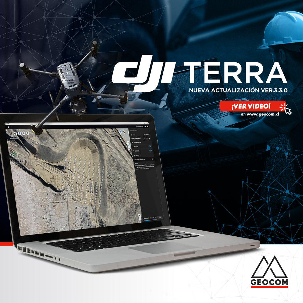

DJI Terra is an all-in-one Artificial Intelligence-based software that integrates planning, capture, reconstruction, and analysis of products obtained from our various DJI sensors. At the end of January, a new update was released with interesting improvements to achieve a much smoother and more optimized processing. Learn more below:
- One of the most important new features is that from this version, the known coordinates of the GNSS base station (as well as the instrumental height) can be modified in DJI Terra, which is fundamental when processing the point cloud captured with the Zenmuse L1 LiDAR sensor.
- For 2D reconstruction, it allows the use of a grid map, which establishes a grid length, dividing the orthophoto and the DSM according to the value defined by the user.
- For 2D reconstruction, it allows the generation of a DSM with reduced sampling, which could be used in terrain-following flight missions with the Matrice 300 RTK/PPK.
- Changes were made to the mission library interface, allowing the classification and filtering of projects that were processed in the software.
- The speed of 3D reconstruction was increased by 25%, and a new function was incorporated that allows automatic rotation of the generated models.
Do you want more information about DJI Terra?
Email us at uas@geocom.cl
Compartir:
Combination of Geospatial Techniques | Cartógrafo.cl Publication
OPINION COLUMN | Drones for Photogrammetry, Evolution, and Operational Safety