

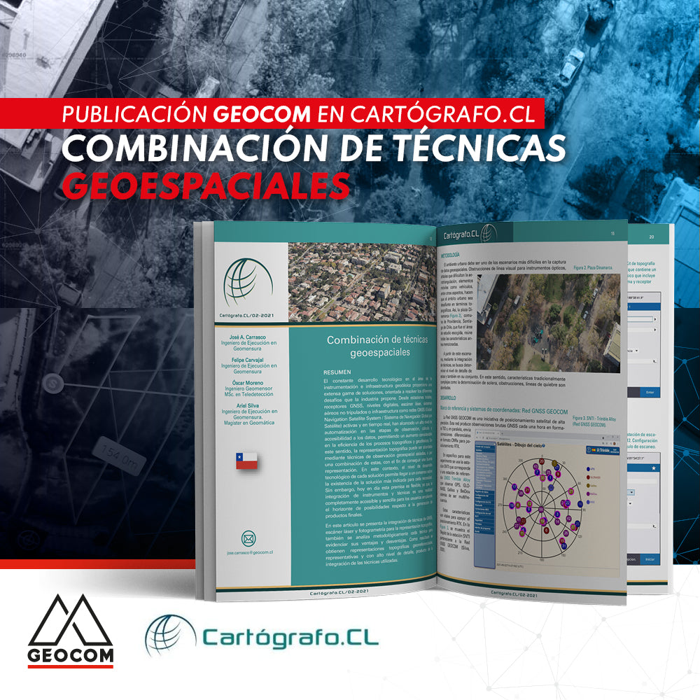

From total stations, GNSS receivers, digital levels, laser scanners, unmanned aerial systems, or infrastructure such as active and real-time GNSS (Global Navigation Satellite System) networks, these have achieved a high level of automation in the observation, calculation, and data accessibility stages, allowing for a considerable increase in the efficiency of topographic and geodetic processes.
Compartir:
senseFly eBee X Replacement Campaign
Learn about the new features in the latest version of DJI Terra 3.3.0