News

DJI Dock 3 ofrece una solución integral de Dron Autónomo para operaciones remotas 24/7

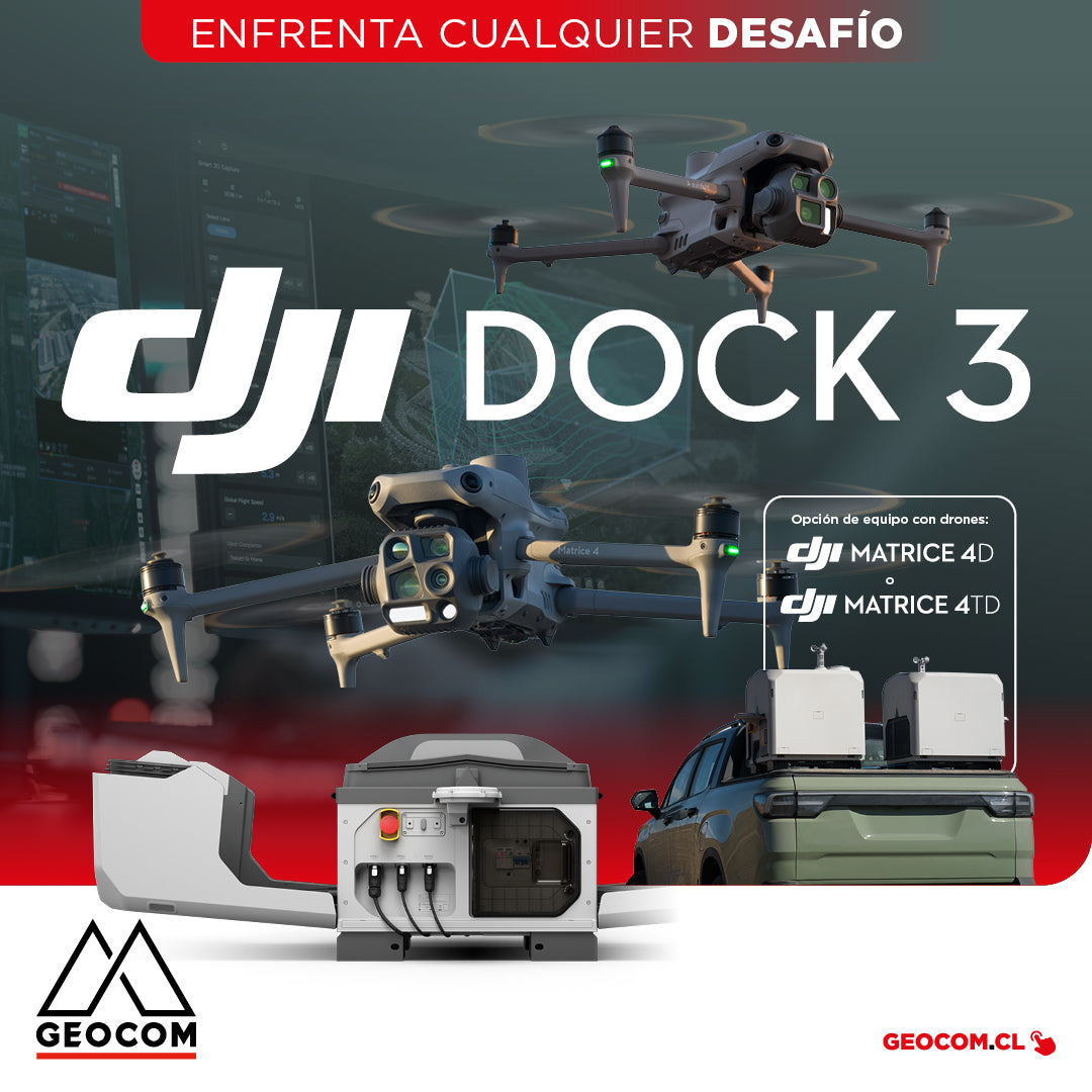
DJI Dock 3 offers a comprehensive Autonomous Drone solution for 24/7 remote operations

DJI Dock 3, the company's first Autonomous Drone solution that allows vehicle mounting, facilitating 24/7 remote operations in diverse environments.

Read more

Drones DJI | Inspección avanzada en infraestructura

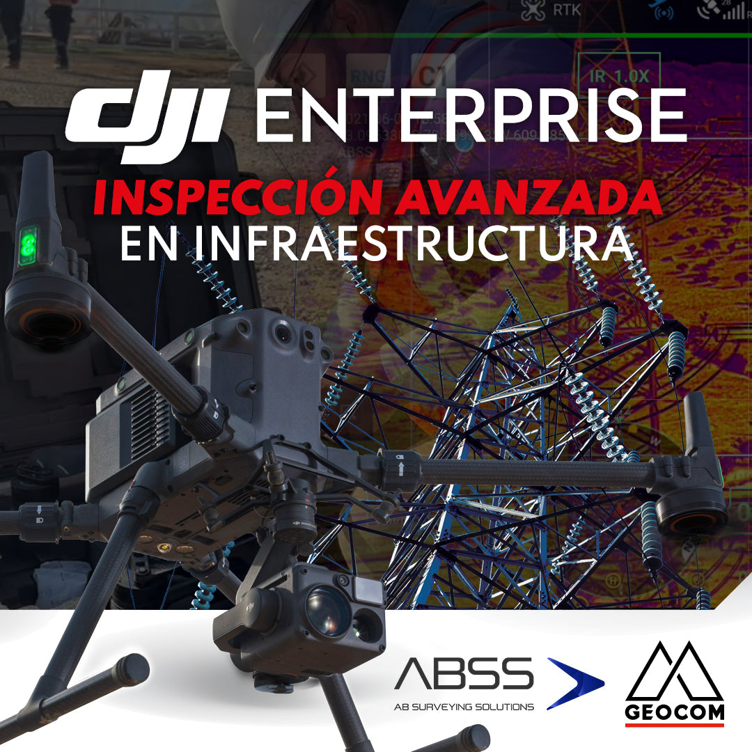
DJI Drones | Advanced infrastructure inspection

DJI drones have revolutionized inspections thanks to their advanced technology and versatility. These systems can be equipped with different types of high-resolution sensors (primarily RGB and thermal), which allow for capturing highly detailed photos and videos of various elements.

Read more

ExynPak | Sistema Móvil SLAM para entornos desafiantes

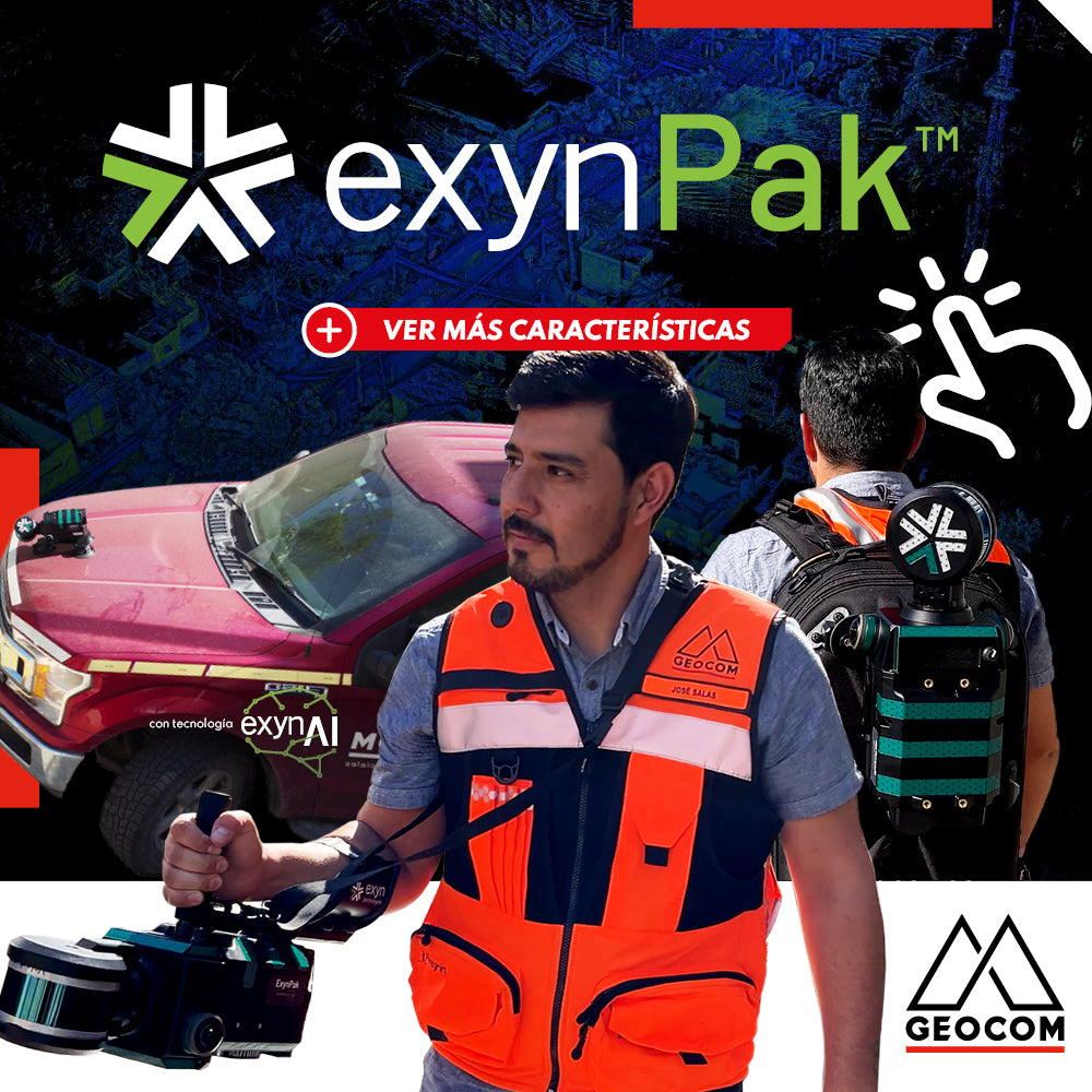
ExynPak | Mobile SLAM System for Challenging Environments

High-precision mapping system, based on SLAM technology developed by Exyn Technologies. This system is presented as a highly accurate solution for topographic representation, capable of generating 3D maps in real-time.

Read more

LiDAR RIEGL | Infraestructura Urbana – Torres de Transmisión Eléctrica

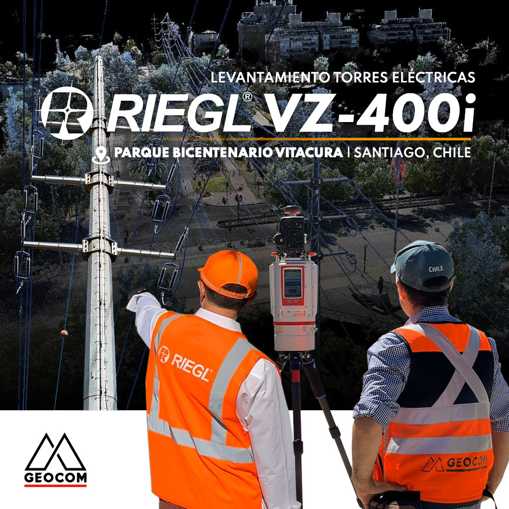
RIEGL LiDAR | Urban Infrastructure – Electrical Transmission Towers

Electrical transmission systems, visible as high-voltage lines manifested by overhead conductors on towers, leave their mark on the territory, materially shaping public spaces.

Read more

Trimble X7 | Control geométrico de obra

Trimble X7 | Construction geometric control

Construction projects are carried out in partially controlled environments, so ensuring the correct realization of the design on site is vital for the installation of prefabricated and/or modular components.

Read more

Levantamiento y control de infraestructura con Trimble SX12

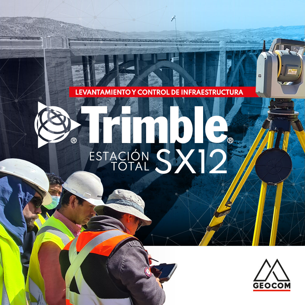
Infrastructure Surveying and Monitoring with Trimble SX12

To test the Trimble SX12, we set out to geometrically represent the Limarí bridge, which is part of Route 5 North, with an approximate length of 250 meters and a height of 30 meters.

Read more

BIM, realidad aumentada y proyectos de vialidad

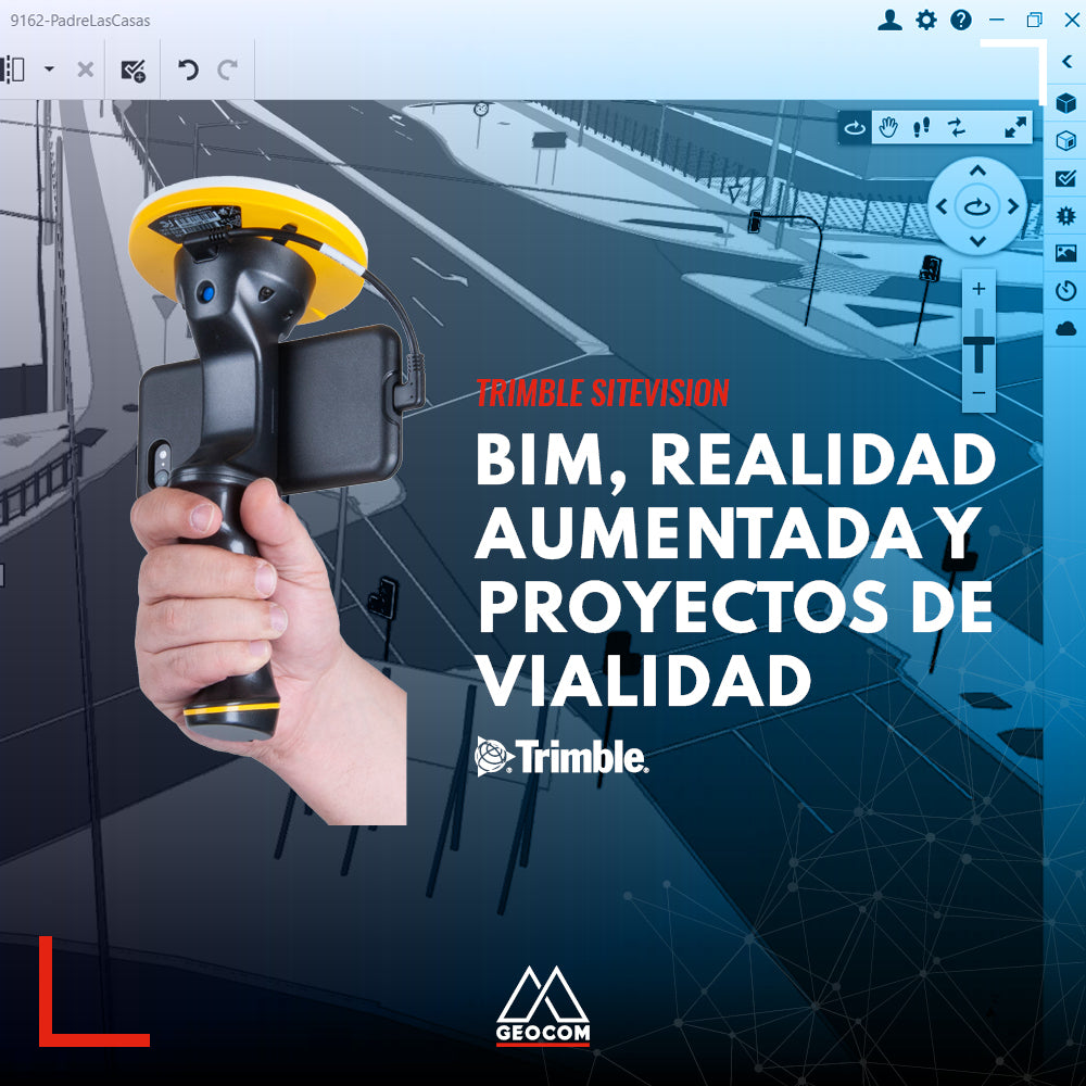
BIM, Augmented Reality, and Roadway Projects

The BIM methodology is already a reality in the lifecycle of many infrastructure projects in our country due to its various benefits. Discover them in this new Geocom news article.

Read more

Experiencia robótica en labores subterráneas con Trimble SX10

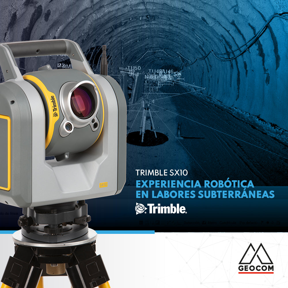
Robotic experience in underground work with Trimble SX10

The use of robotics in underground work combined with cyclical observations in a trisection to orient the equipment, allows us to apply techniques for an accurate result.

Read more

Solución de monitoreo con estación total | Trimble S9 HP y Trimble 4D Control

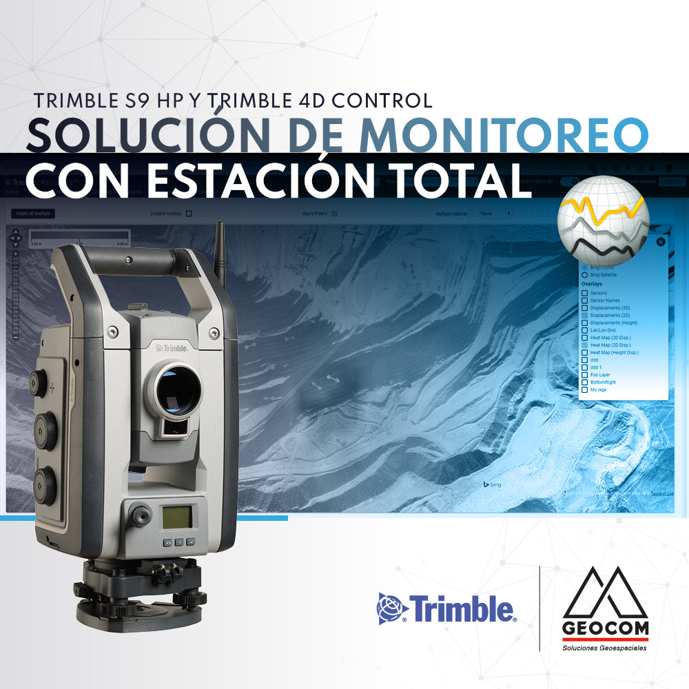
Monitoring solution with total station | Trimble S9 HP and Trimble 4D Control

If you are looking to automate precise total station observations for monitoring projects, we recommend the Trimble S9 HP + Trimble 4D Control (T4D) solution.

Read more

Settop M1 | Dispositivo de comunicación para monitoreo con estación total

Settop M1 | Communication device for total station monitoring

Trimble offers a comprehensive solution thanks to its S-Series total stations along with the data processing platform for monitoring called T4D Control.

Read more

Trimble Mx7 | Sistema de mapeo Móvil

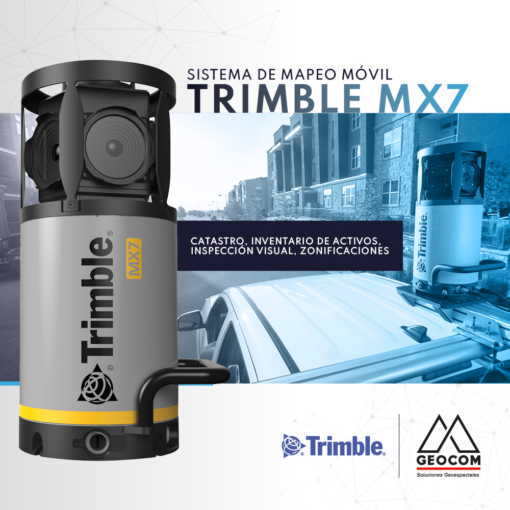
Trimble Mx7 | Mobile Mapping System

Generating a cadastral survey or asset inventory in this day and age is an extremely complex task. This is due to the need to capture data in high-traffic areas or over large expanses.

Read more

Trimble Túnel

Trimble Tunnel

Trimble scanners (SX10, SX12, X7) are the tool for "bringing the tunnel to the office" quickly and reliably.

Read more

InfraWeek latinoamérica Bentley Systems

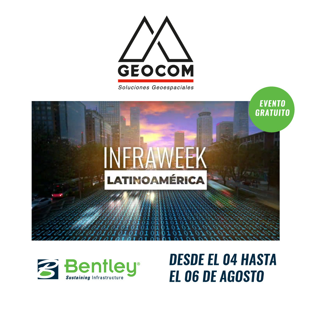
InfraWeek Latin America Bentley Systems

We cordially invite you to participate in InfraWeek 2020, the most important event on BIM solutions for Infrastructure from Bentley Systems Latin America.

Read more