


The BIM methodology is already a reality in the lifecycle of many infrastructure projects in our country due to its various benefits, such as:
- Improving information management in collaborative environments
- Improving the understanding of designs in spatial terms
- Facilitating access to updated information for all project stakeholders
- Optimizing planning, designs, execution, and cost and deadline estimation
- Identifying collisions, omissions, and even risks associated with designs to plan safety measures and prevent them
These and many other benefits have led various developers to create tools that adhere to workflows where the BIM methodology predominates. This is why more and more civil design software solutions are joining the BIM standardization driven by the openBIM program thanks to the IFC format.

Currently, the IFC format is gaining significant momentum in the dissemination of digital information within road infrastructure projects. It allows data sharing among different collaborators, including organizational information, project location (coordinate systems), three-dimensional objects and their spatial arrangement, their connections and relationships, layers, materials, events, tasks, procedures, etc.


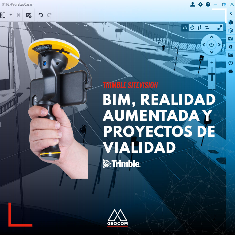
This information can be visualized with augmented reality systems like Trimble SiteVision thanks to the geometries and attributes contained in IFC files, bringing all the benefits of the BIM methodology to the field.
With this type of technology, you will be able to review road designs in the field at real scale and identify potential problems thanks to the different interaction modes with the three-dimensional models, thereby streamlining decision-making processes intuitively and collaboratively.
For more technical information about our augmented reality solutions, send your inquiries to soporte@geocom.cl
Compartir:
GEOCOM 2022 CALENDAR PHOTO CONTEST
What's new in Update v5.60 TBC