

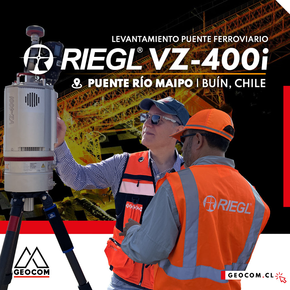
LiDAR RIEGL | Railway Bridge Survey
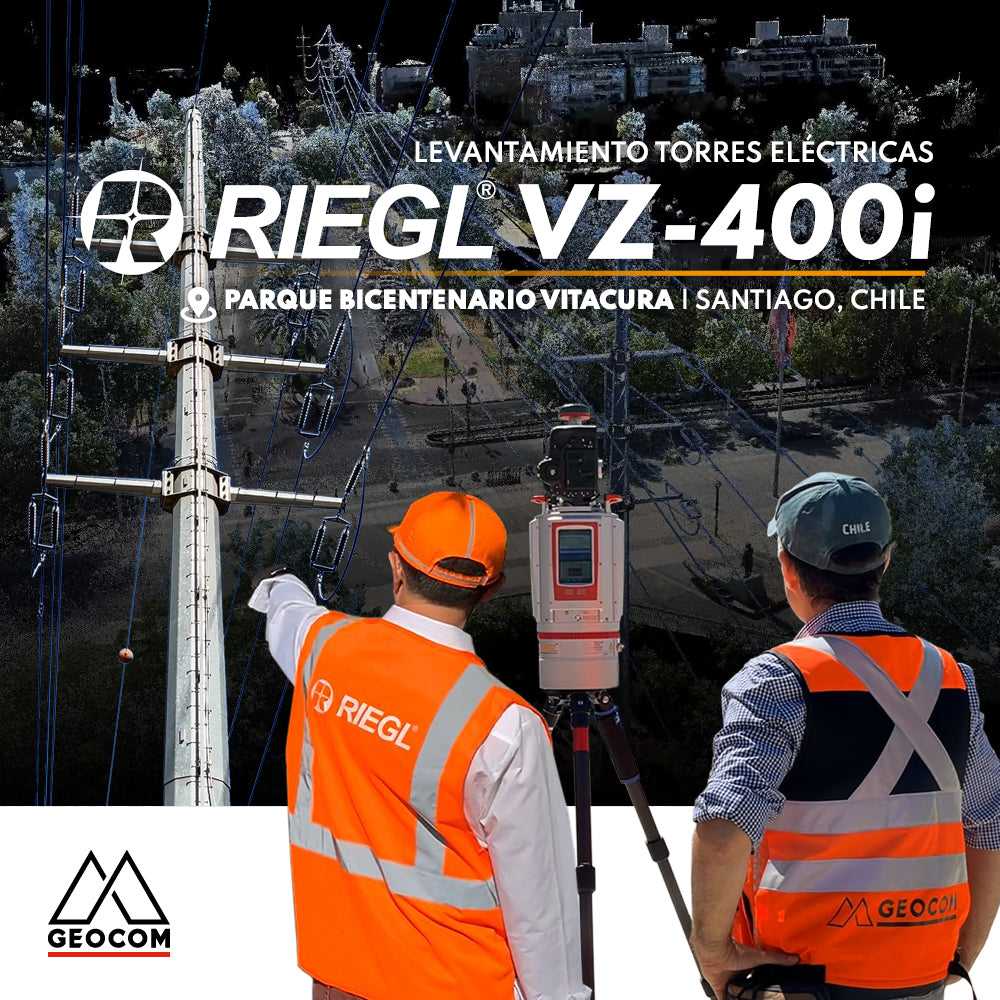
RIEGL LiDAR | Urban Infrastructure – Electrical Transmission Towers
Electrical transmission systems, visible as high-voltage lines manifested by overhead conductors on towers, leave their mark on the territory, materially shaping public spaces.
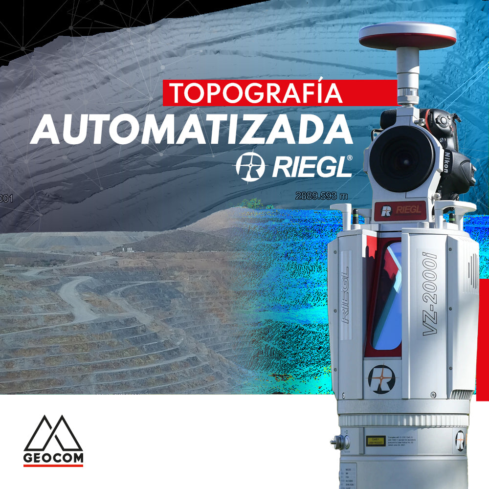
Automated Topography | RIEGL LiDAR
The importance of acquiring data remotely is a requirement established in mining projects, where knowing the topography at different periods or daily is a starting point for a series of analyses, projections, planning, and controls in the mining district.
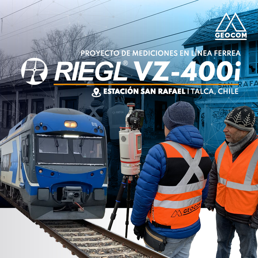
RIEGL LiDAR | San Rafael Station Railway Infrastructure
We invite you to review this project in more detail and see how accessible it is to use this RIEGL LiDAR capture technique, along with well-established workflows from point cloud capture to the generation of various deliverables.