

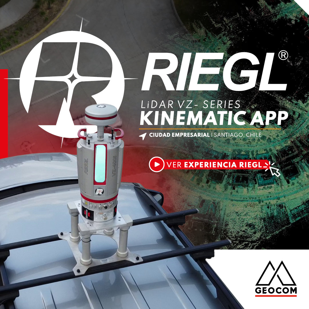
RIEGL VZi-Series: Kinematic Measurements with Terrestrial LiDAR Scanners (TLS)
In this urban project, carried out in the Business City, we can review the potential that exists in the use of this form of kinematic capture, allowing us to cover a large area in very short times, compared to the static scanning methodology.
Escáner LáserEscáner Láser 3DGEOCOMgeodesiaGeomensuraLiDARNoticia GEOCOMRIEGLRiPANORiSCAN PROSoftware RiSCAN PROVZ-2000iVZ-400i
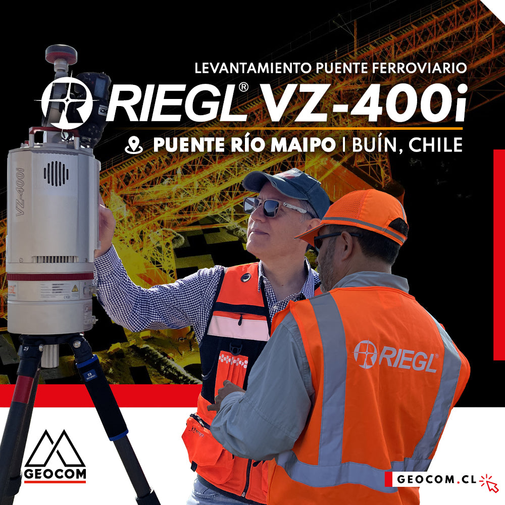
LiDAR RIEGL | Railway Bridge Survey
In this project, our main motivation is to demonstrate the importance of using LiDAR technology for the Inspection and Monitoring of Railway Infrastructure, by utilizing RIEGL LiDAR technology.
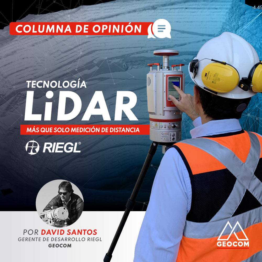
OPINION COLUMN | LiDAR Technology: More Than Just Distance Measurement
RIEGL took the next step in LiDAR acquisition by developing a patented technique called MTA (Multiple Time Around).
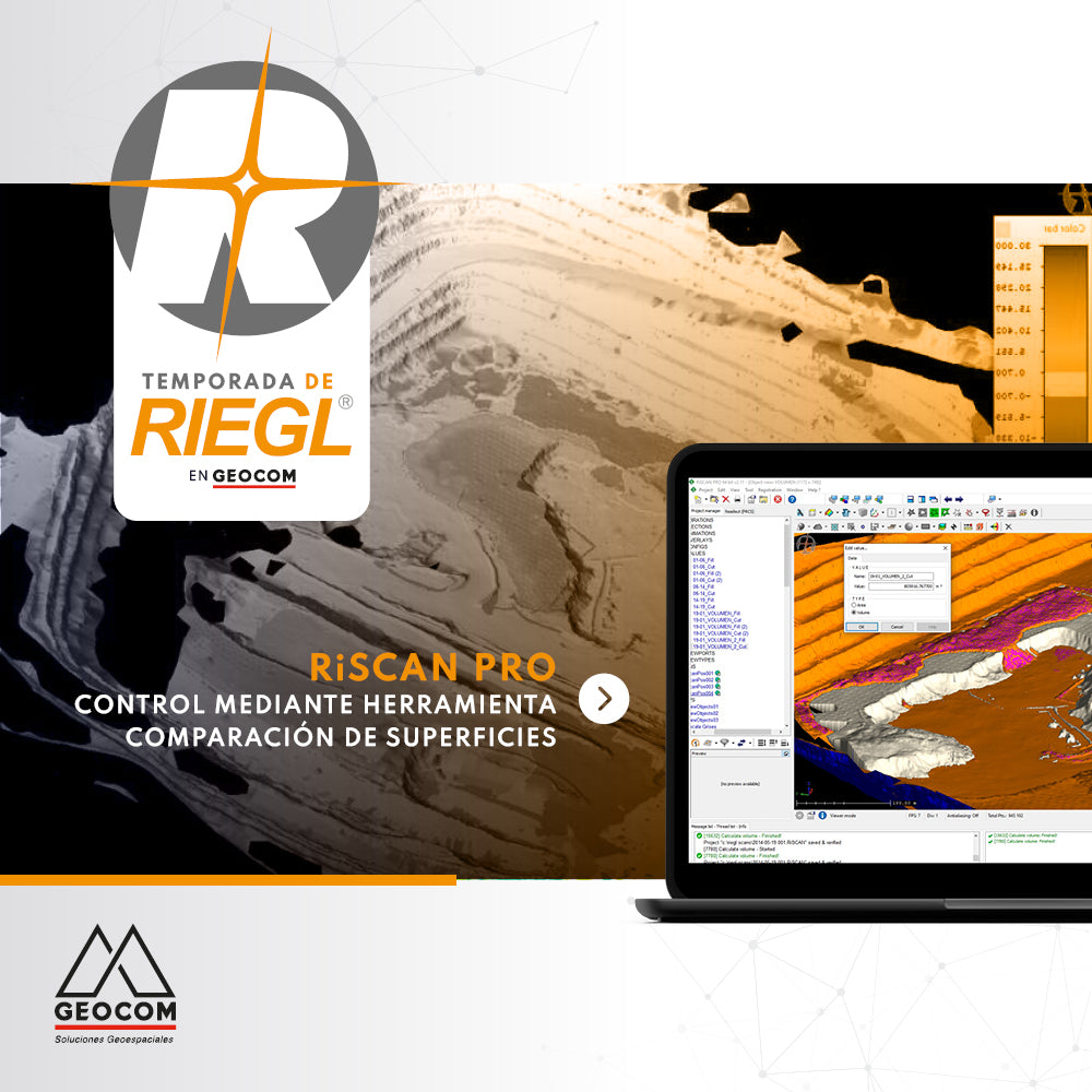
RiscanPro Software – Surface comparison tool control
Geospatial control is a very important task for reviewing the operational progress of a work area, as is comparing the current topography with respect to a design surface.
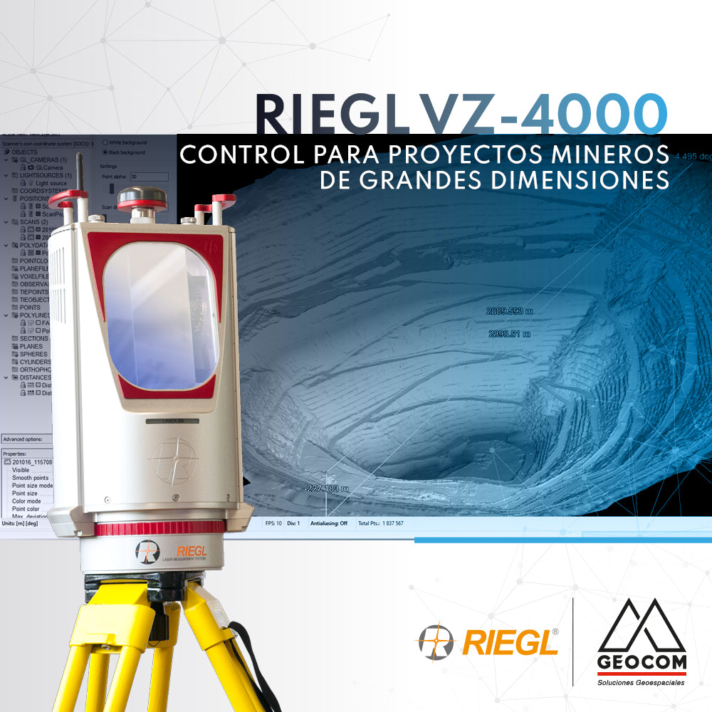
RIEGL VZ-4000 | Control for Large-Scale Mining Projects
The RIEGL VZ-4000 laser scanner offers great versatility for controlling large-scale open-pit mining projects.