

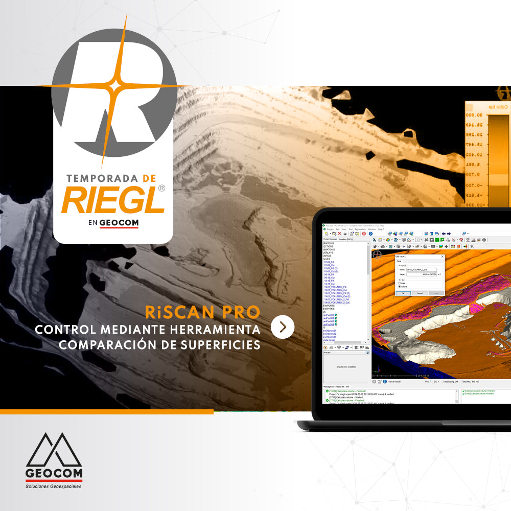

Geospatial control is a very important task for reviewing the operational progress of a work area, as is comparing the current topography with respect to a design surface.
Using RIEGL RiscanPro software, with the Surface Comparison tool, it is possible to carry out analysis and surface control between different topographies to quickly evaluate the areas where a change in topography has occurred, allowing the differences between surfaces to be graphically represented using a color scale; it provides reports with different resolutions and levels of detail, in order to show these analyses.
In this RIEGL Season, we will analyze different tools and workflows to solve different problems. If you are interested in obtaining more information and reviewing projects carried out with this technology presented by RIEGL, check out the webinar held on August 19, called Terrestrial Mobile Applications in Mining Projects.
For more information, contact us at soporte.escaner@geocom.cl
Compartir:
RIEGL Mobile Scanning System + TBC
Using DJI Drones in the Solar Energy Revolution