

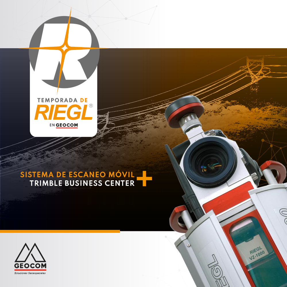

Geospatial capture tools are currently very diverse, one of them being Mobile Laser Scanner (MLS), which allows us to have great productivity in the field. Here is an example of data capture with MLS RIEGL VMZ+VZ1000 and the creation of products with Trimble Business Center applied to High Voltage Power Lines and automated drawing from the point cloud.
Tomorrow, Thursday 19th at 11:00 am, you can see how we did it in our webinar "RIEGL Terrestrial Mobile Applications in Mining Projects"
Compartir:
FREE ADJUSTMENT IN TRIMBLE BUSINESS CENTER
RiscanPro Software – Surface comparison tool control