

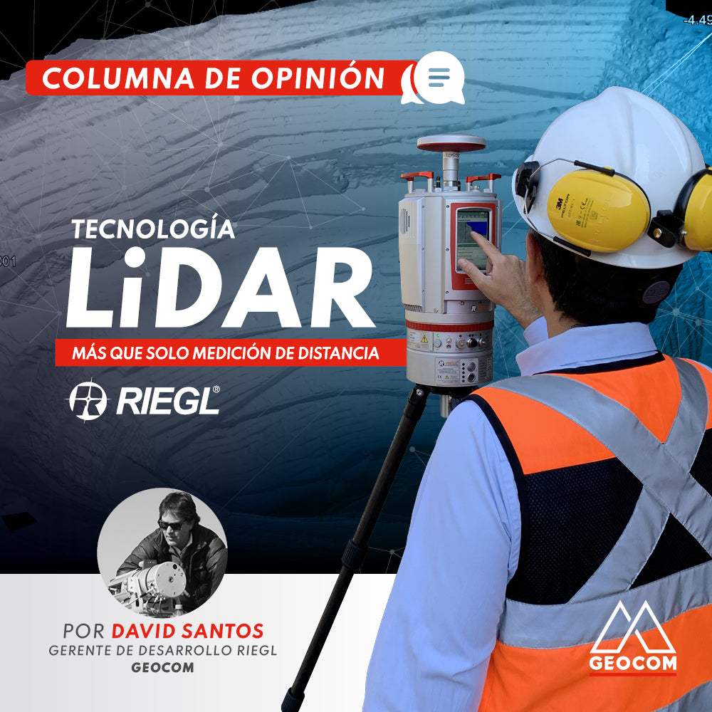
OPINION COLUMN | LiDAR Technology: More Than Just Distance Measurement
RIEGL took the next step in LiDAR acquisition by developing a patented technique called MTA (Multiple Time Around).
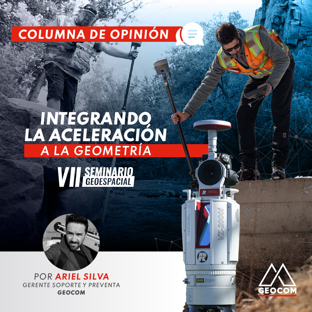
OPINION COLUMN | Integrating Acceleration into Geometry
To contribute to the understanding of the use of inertial sensors, it is necessary to ask why their incorporation into geospatial techniques is important and what they are able to observe.
OP-ED | Precise positioning in tunnels
We are witnessing how in recent years, the development of technologies and processing capabilities has intensified, greatly impacting the geospatial industry.
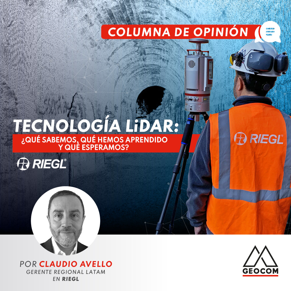
OPINION COLUMN | LiDAR technology: What do we know, what have we learned, and what do we expect?
Today, field professionals still consider GNSS equipment and Total Stations their best tools, but in third place, and gaining ground every year, is LiDAR equipment. If before we were content with a measurement of several hundred RTK and Total Station points, today we're talking about millions of points in a "Point Cloud with Real Color."
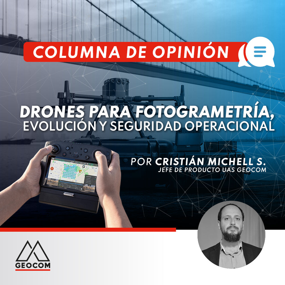
OPINION COLUMN | Drones for Photogrammetry, Evolution, and Operational Safety
These ten years of experience in drone commercialization have allowed us to clearly see the advances and changes that have occurred in several aspects. The first UAS needed a mechanical launch catapult to take off, had long analog checklists, had little autonomy, and used ground control points...
OPINION COLUMN | Geomonitoring: An Opportunity for Geomatics and Geodesy?
We recall with some nostalgia when we competed with colleagues to see who could achieve the best ratio between observed points and time during a topographic survey, or who could set up an instrument the fastest.