

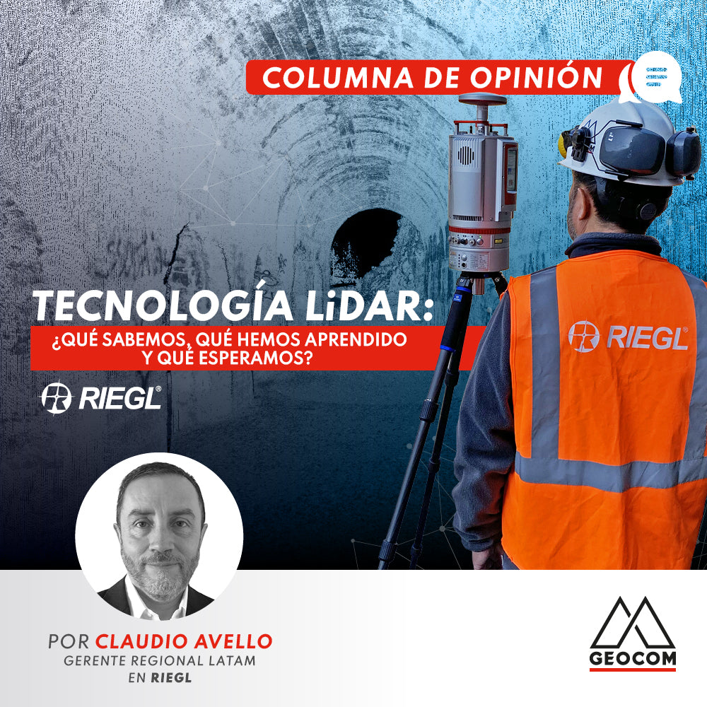

If a few years ago I had been tasked with "Setting up a Mining Front" at the "Juan Perez" mine, the most probable thing is that the first thing I would have thought about would be operators (several), using GPS equipment in RTK-Kinematic mode and Total Stations measuring and re-measuring the Control Points I was going to use... A real adventure and challenge involving personnel, resources, permits, certifications, and approvals from the safety officer to carry out the work at a specific time, within a tight deadline... The mine must keep working! Those were the days of sun, adrenaline, and stress...
Today everything has changed, and the technological maelstrom has also strongly impacted the field of Topography and Geomatics in general. Today, field professionals still consider GNSS equipment and Total Stations their best tools, but in third place, and gaining ground every year, is LiDAR equipment. If before we were satisfied with a measurement of several hundred RTK and Total Station points, today we are talking about Millions of Points in a "Cloud with Real Color."
There is still much to do and much to explain. Perhaps much to educate, because it is a "new technology" and because there are many differences between equipment and brands. But what is undeniable is that LiDAR is here to stay and has come to take a prominent place in the market. There is much to explore; we probably all expect the miniaturization of equipment and the complete automation of processes.
Today, LiDAR emerges as a field option that is already considered vital by many and is gaining more and more followers every day. But the road has not been easy. It is necessary to continue producing clarifying information on: What LiDAR is, how it works, and what methodologies are used by manufacturers, which should be considered when choosing a piece of equipment...
Phase method and Time-of-Flight (Waveform) method are the two (2) main "actors" that we can easily identify in the market. Phase equipment: A continuous pulse that delivers very good precision over limited distances, but does not perform well in identifying small objects (wires, meshes, etc.) and has restrictions when it comes to Multi-Target. Time-of-Flight, or Waveform: Individual pulses that allow obtaining information over greater distances, can detect small objects, and can also provide a Point Cloud with Attributes... As you can see, there is a lot to explain and question when deciding on one piece of equipment over another for a specific job.
In mining, Time-of-Flight undoubtedly offers advantages over Phase. The mere fact of being able to measure long distances is a necessary characteristic, but this does not mean that Phase is useless, and I want to emphasize this. Both Phase and Time-of-Flight are valid technologies that can deliver great results depending on the area and application required.
For more than 40 years, RIEGL has been developing, manufacturing, and commercializing LiDAR equipment based on Time-of-Flight, or Waveform technology. But at the same time, our technology goes a step further with scanners based on Echo Digitalization and the subsequent complete analysis of the Waveform. Today, all RIEGL LiDAR instruments are based on what is summarized as Waveform LiDAR technology. And all are using advanced digital signal processing to provide best-in-class LiDAR performance, including unique methods for resolving Range Ambiguities, providing multiple targets per laser shot (Multi-Target), offering optimal measurement distribution, and delivering Calibrated Echo Amplitudes and target Reflectance Estimates for each measurement... This is what I mean when I talk about a Point Cloud with attributes.
Therefore, RIEGL is a clear and privileged enabler of the development that LiDAR has experienced over time and an advantageous player in the field of Applications and work in Mining and other areas such as Engineering, Forestry, GIS, Roads, Forensic Applications, Aerial, etc.
We observe with great interest how the market accepts and is beginning to demand more specific solutions for certain projects. In the case of RIEGL Terrestrial equipment, we see clients requesting integration with Robotics, and direct interaction with Autonomous equipment, for example. Here we already have a response to allow the connection of a RIEGL 3D laser scanner to a robot with ROS (Robot Operating System); RIEGL offers the "ROS2 RIEGL VZ Package," an open-source robotic middleware suite that provides nodes, topics, and services.
In Monitoring, we already have all the interface and communication protocols that allow taking control of terrestrial equipment from anywhere in the world. We can then program the equipment with its mining applications (for example) and assign monitoring tasks at a time interval, for a: Mining Operation, a Dike, a Tailings Dam, a structure under construction, etc., etc.
I cannot miss the opportunity to also refer to the Integration of measurements that we see growing every day. I refer to combining Terrestrial (TLS) and Aerial (ALS, or ULS) measurements in the same project. The versatility of Terrestrial LiDAR equipment is more than proven, as it can work on a Railway Line in the morning and then be in an Underground Mine measuring stopes and adits in the afternoon... But ALS (Aerial Applications) and Drone Applications (ULS) are increasingly requested and accepted due to the high performance they deliver (large areas measured in a short time) and the accuracies they provide. The integration of both methodologies is perfectly possible, and thus we see clients using a VZ-400i for detail, complementing field information with the use of a Drone and a miniVUX-1UAV, for example...
About the future of LiDAR: In my opinion, we will continue to see more and more players and competitors in the market. I think of units that can cover Terrestrial and Aerial measurements, for example. I also foresee a total integration into the Robotics market, with autonomous vehicles capable of entering an Underground Mine and performing the complete measurement, without any operator intervention. That is, the robot measures and, based on the measurement, decides which route to follow and where to stop to measure in detail. I also believe that we are approaching the "Internet of Things" and our field will not be exempt from this advance.
There is still a long way to go and many advances yet to come. Thinking about it, I no longer miss those days of sun, adrenaline, and stress so much... LiDAR has made me focus on this fascinating technology that still has much to offer to those of us who love and live by field measurements...
Written by: Claudio Avello - LATAM Regional Manager at RIEGL

Compartir:
Trimble R12i as an internet base station
OPINION COLUMN | RIEGL LiDAR: Geocom at the Forefront of Mining Projects