

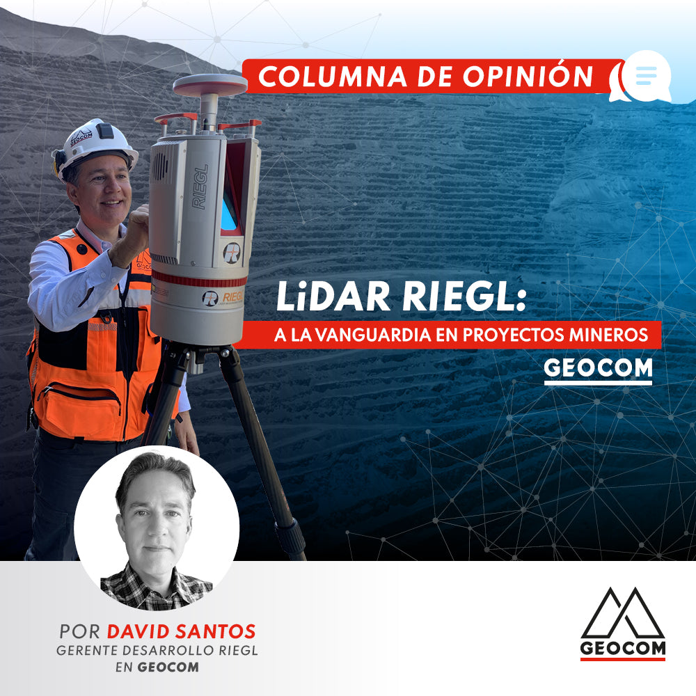

My first encounter with LiDAR technology was back in 2005, during a mining project in the IV region. We captured a strip several kilometers long with a point density that, at the time, was astonishing. We compared it to what we could do with a GNSS or Total Station, and the level of detail achievable was impressive. At that time, the equipment used was the RIEGL LMS-Z210i, which could reach about 500m and had impressive capture rates for that period, several thousands of measurements per second.
Then, in late 2009, upon joining GEOCOM, I got to know the tremendous company RIEGL is and the technology available at the time. My first experiences in early 2010, during my initial visits to mining users, confirmed how powerful LiDAR technology is. The then-current model, the RIEGL LMS-Z620i, could reach distances of up to 2000m, providing greater safety to the professionals in charge of topography. Measuring long distances allowed them to stay away from extraction zones and perform captures from a distance, and it was crucial to adjust this technique to the requirements of each mining company. While the workflow and extraction process are similar between one deposit and another, the professionals in charge of managing these geospatial data have varying degrees of experience. At that time, and to this day, the main focus of attention was and is to understand as best as possible each of the technical requirements to adapt the LiDAR technique to that workflow and provide appropriate deliverables for each requirement.
More than 15 years since my first encounter with this marvelous technique, and it still amazes me. Advances have gone hand in hand with improved times and capture rates, which provide a very high spatial representation of the area of interest, allowing for various degrees of analysis that were previously unthinkable. On one hand, it reduces field exposure time with shorter capture times, and on the other hand, it increases spatial resolution, allowing for capture with a greater level of detail, increasing the precision of the various analyses derived from this data. For several years now, unmanned aerial platforms, through pre-defined flight planning, have allowed the LiDAR sensor to reach another level of perspective and capture from a defined height, providing representations of difficult-to-access areas or improving the time for field campaigns in extensive areas, as well as the use of LiDAR mounted on trucks or terrestrial vehicles, achieving significant increases in the performance of linear projects, hand in hand with the GNSS measurement technique. Being able to capture a complete phase in just a few minutes, the time it takes to drive a truck through an area, is now possible with RIEGL mobile sensors, such as the RIEGL VMZ system.
Currently, we have technology that allows for various queries and direct results in the field. With the incorporation of the RIEGL VZ-i series, in its VZ-400i (measurements up to 800m) and VZ-2000i (measurements up to 2500m) models, which on the one hand have a computer that optimizes capture times and rates, and in parallel with a second onboard computer, allows for tasks to be performed concurrently with capture; for example, registering scan positions as they are performed, allowing all scans to be registered in project coordinates upon completion of capture, optimizing processing times; having APPs developed by RIEGL for critical tasks such as slope control using the Monitoring application, as well as the analysis of comparison of over or under-excavation zones with respect to the project, for wall compliance, using the Design Comparison application, provide tools for decision-making in the field; added to LiDAR sensors that measure up to 4000m such as the VZ-4000 for ultra-large pit projects; all these are indispensable tools today to achieve a successful process in various mining projects in Chile.
And it is our task to deliver and propose this technology for each of your requirements and projects.
Written by: David Santos - RIEGL Development Manager at Geocom

Compartir:
OPINION COLUMN | LiDAR technology: What do we know, what have we learned, and what do we expect?
ProPoint™ Technology in Trimble DA2